
-
 8591 Hits
-
 81.84% Score
-
 14 Votes
|
|
Mountain/Rock |
|---|---|
|
|
39.13042°N / 123.07702°W |
|
|
Lake |
|
|
Hiking, Scrambling |
|
|
Spring, Summer, Fall, Winter |
|
|
3572 ft / 1089 m |
|
|
Overview
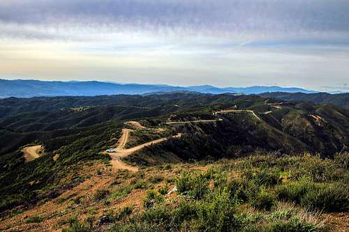
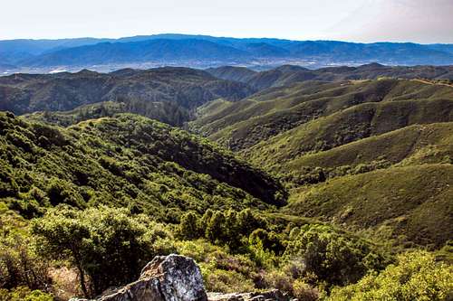
Northwest from Cow Mtn. Ridge
The high point is a hill with radio antennas at 3,572'. A short distance further up the road is Mendo Rock 3,377'. This is a rock outcrop about 30 ft. high across the road from an overlook.
The high point with antennas is private property.
Mendo Rock is a very brief scramble next to the road that has outstanding views east to Clear Lake and west over Ukiah and the Russian River Valley to the coast range and ocean. ![East to Clear Lake from Mendo Rock]()
Mendo Rock overlook ![Andre and Layla on Mendo Rock]()
On Mendo Rock with Cow Mtn Ridge high point back leftFrom Hwy. 101 in Ukiah Take Mill Creek exit and Mill Creek road east 4.7 miles to Mendo Rock Road. Take Mendo Rock Rd. (well graded dirt) 5.3 miles to the overlook at Mendo Rock. ![Mendo Rock from the north]()
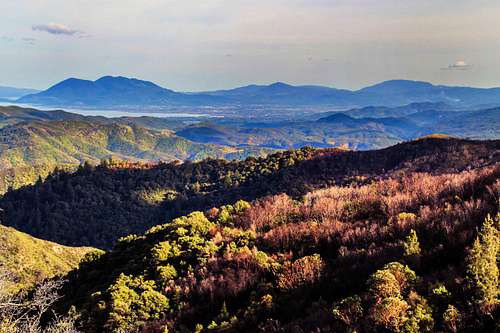
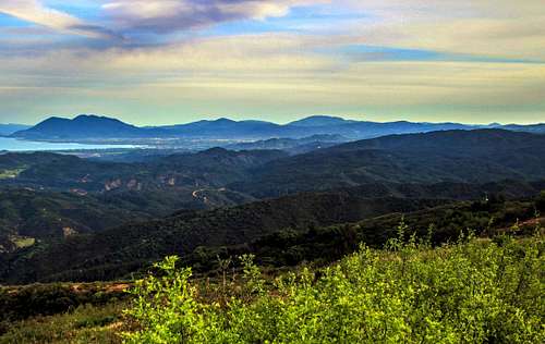
Mendo Rock from the north ![Southeast to Clear Lake from Cow Mtn. Ridge]()
East from the ridgeWalk through a narrow brush corridor right to the east face. The east and north side by the road is a sporting class 3-4. The south and west sides are class 2 walk up.
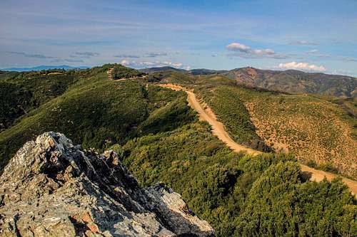
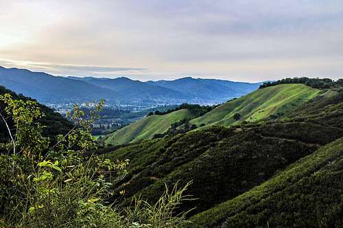
The 3,572' high point a half mile back across the the Mendo Rock Rd. is another brief walk up to an outstanding view east and west. Again it is on private prop. so make your own choice there.![North from Mendo Rock]()
North from Mendo RockFor Cow Mtn. Recreaton Area rules and regs click here.![West from Mendo Rock]()
West from Mendo Rockyear around. It depends on the roads. Heavy rain or snow could close them. Check with the Cow Mtn. Recreation Area Recreation Area for road conditions.![Southeast from Cow Mtn. Ridge]()
Southeast from Cow Mtn. RidgeClick here for camping and camp grounds.![Mill Creek canyon west]()
Mill Creek Canyon going west into UkiahClick here for the weather and forecast for Ukiah.
Getting There

Mendo Rock overlook
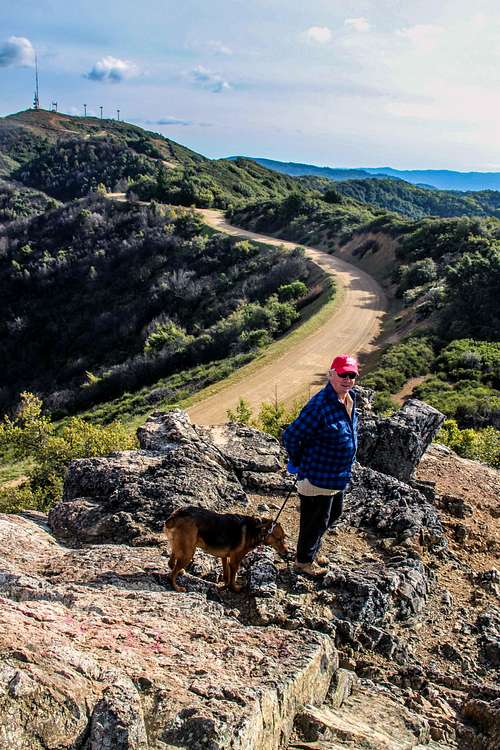
On Mendo Rock with Cow Mtn Ridge high point back left
Route to Mendo Rock

Mendo Rock from the north
East from the ridge
The 3,572' high point a half mile back across the the Mendo Rock Rd. is another brief walk up to an outstanding view east and west. Again it is on private prop. so make your own choice there.
Red Tape
North from Mendo Rock
When to Climb
West from Mendo Rock
Camping
Southeast from Cow Mtn. Ridge
Current weather and 10 day forecast
Mill Creek Canyon going west into Ukiah