
-
 10232 Hits
-
 82.48% Score
-
 15 Votes
|
|
Mountain/Rock |
|---|---|
|
|
38.88745°N / 122.74631°W |
|
|
Lake |
|
|
Hiking |
|
|
Spring, Summer, Fall, Winter |
|
|
3978 ft / 1212 m |
|
|
Overview
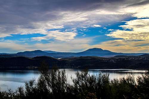
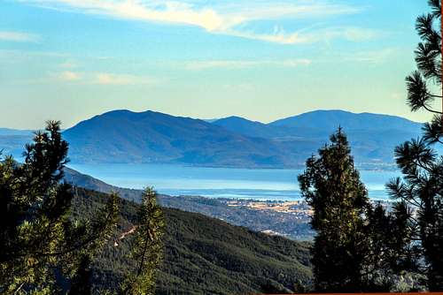
Mt. Hannah from Clear Lake with Seigler left and Cobb back left
Different variables come into play in terms of what we want or expect from a peak.
Mount Hannah is one of those "just gotta cross this one off the list" mountains.
Hannah is in the Mayacamas Range 5.5 miles north of Cobb Mtn.. Like most peaks in the area it is thoroughly forested. It is also on private property. This is the third highest mountain in the range and must have great views but you're not likely to see them. The summit is a small clearing surrounded by forest. I talked to a local dirt biker and he told me hikers are not likely to get hassled. The route I took saw no one. It's a straight forward forest road hike up a network of old roads out of use many covered with sticks and pine cones that weave to the top. The hike is 3.9 miles round trip and 1,342' total el. gain.
Getting There
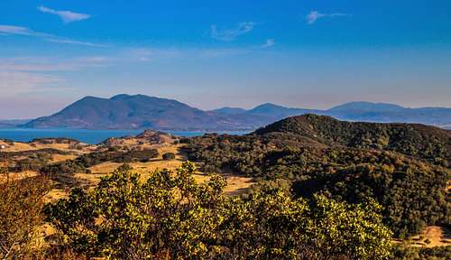
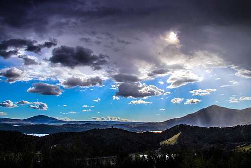
Over Clear Lake from Poe Mtn to Konocti, Seigler, Hannah and Cobb
From Hwy. 29 near Kelseyville Take Bottlerock Road 4.2 miles to Harrington Flat Rd. Go left on Harrington Flat Rd. 1.4 more miles to the junction with the power easement and park.
Route
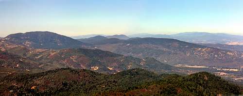
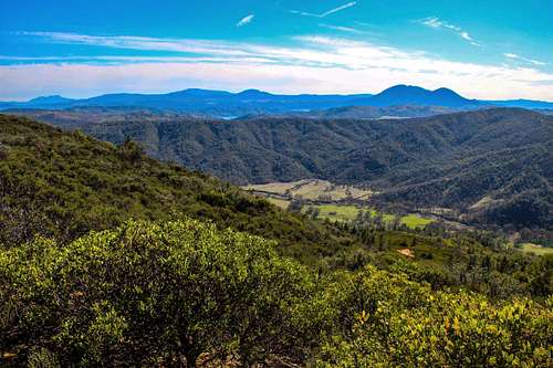
Mayacamas Range north from Mt. St. Helena. Hannah is right of Cobb, the big mt. on left.
Cobb Mtn. from Hannah south slope above the clearing

Route goes up to the right here from the canyon at base of west slope.

Gate at top of clearing leading into canyon below west slope.

Clearing on south slope below gate leading into west slop canyon
Red Tape
Konocti, Hannah and Cobb from Elk Mtn. north of Clear Lake
When to Climb
Hannah and Konocti from above east Clear Lake
Camping
St. Helena, Boggs, Cobb, Hannah and Konocti from Wolf Creek Ridge