|
|
Mountain/Rock |
|---|---|
|
|
37.31573°N / 8.59658°W |
|
|
Hiking |
|
|
Spring, Summer, Fall, Winter |
|
|
2959 ft / 902 m |
|
|
Overview
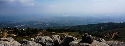
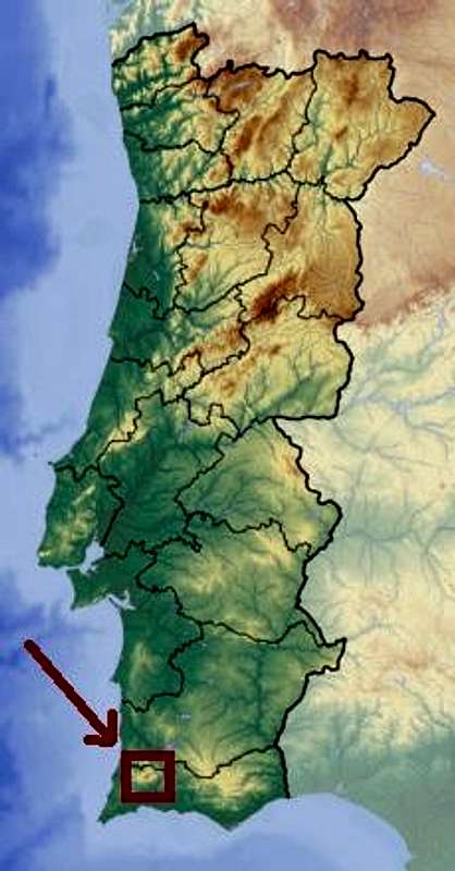
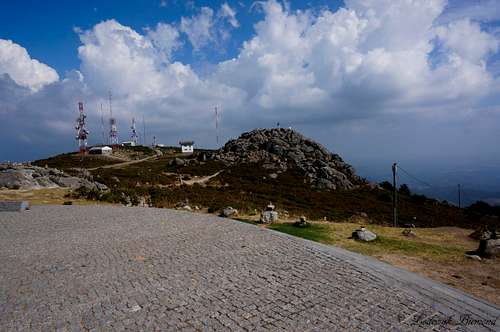
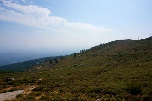
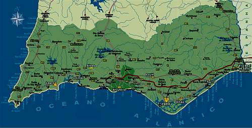
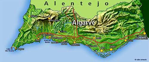
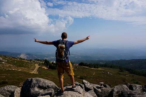
Fóia is the highest mountain of the Algarve, Portugal’s southernmost Provence. Fóia is 902 meters high and is located in the Serra de Monchique mountain range. Fóia is a popular because of the fine views it offers. On a clear day you can see from Cape St. Vincent (and the Atlantic Ocean) in the west, to Faro in the east and to the Serra da Arrabida, near Lisbon, to the north. At the base of the mountain the oldest structure of the area can be found: The Ruines of the Monastery Nossa Senhora do Restelo which dates back to 1632. Foia ranks 92nd on the Prominence List of the Iberian Peninsula with a prominence of 740 meters. Also see the SP Page for more information.
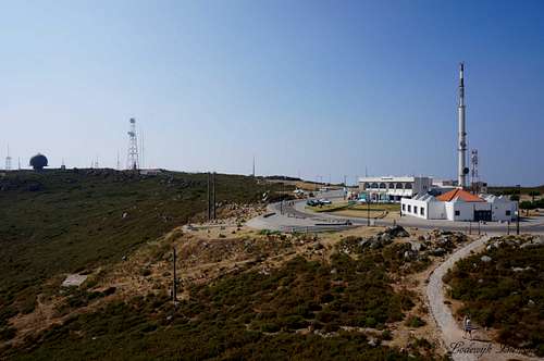
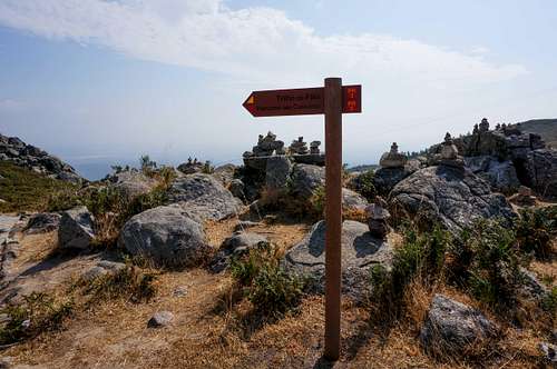
Nearby Fóia you can find Monchique, a small village that is worthwile visiting. One of the trails up to Fóia starts from Monchique. The other route starts at the summit and makes a round-tour. Both trails are marked very well and are easy, I would say T2 at max. Taking the hiking trail up to Fóia is, of course, the best and nicest option, but it is also possible to drive up to the summit. This feature may be a plus for some, but it also attracts a lot of tourists. On a summer day it can be quite crowded at the summit. Furthermore, there is an array of military communication installations making some of the area around the summit of Fóia 'out of bounds'. Despite these features, Fóia offers a great trail towards its summit and the views from the summit towards the Algarve and Atlantic Ocean are just great, which brings me to the conclusion that Fóia makes for a worthwile visit.
The Serra de Monchique is a volcanic mountain range subject to erosion for millions of years, creating well-rounded boulders and stones.
Getting There
follow the signs to Fóia (N-266-3).
Route
Length: 6,5 km
More information: wiportugal.orgYou start the walk in Fóia, and head in the direction of Pegões. You can see a wide range of species of Portuguese flora like tree heath, rhododendrons and bracken. The trail continues through areas of eucalyptus trees which occupy a significant part of the Serra de Monchique, which was once dominated by oak trees. On the descent, after going through Montes da Fóia, the scenery changes to cork-oaks and to scattered chestnut trees and maritime pines. The panoramic view is now to the south, over hills and valley. The trail then continues on a tarred road.
In this area the landscape is dominated by eucalyptus and pine trees. After a few hundred metres, the trail continues on footpaths, up an ascent where the vegetation is mainly shrubby (e.g. cistus, dwarf gorse, lavender, sage-leaved rockrose and wrinkle-leaved cistus.). Half way up the ascent, you can enjoy a view over the countryside to the south. Once back on Fóia, you can see the coastline and the ocean from the viewpoint when it is not too cloudy. The Serra de Monchique is one of the places in Portugal where the endangered species Bonelli’s eagle and the Iberian Schreiber’s green lizard have found refuge. In addition to these, a large number of birds, reptiles and amphibians have been sighted, which is another of this trail’s plus points.
Source: Greatholidaylocations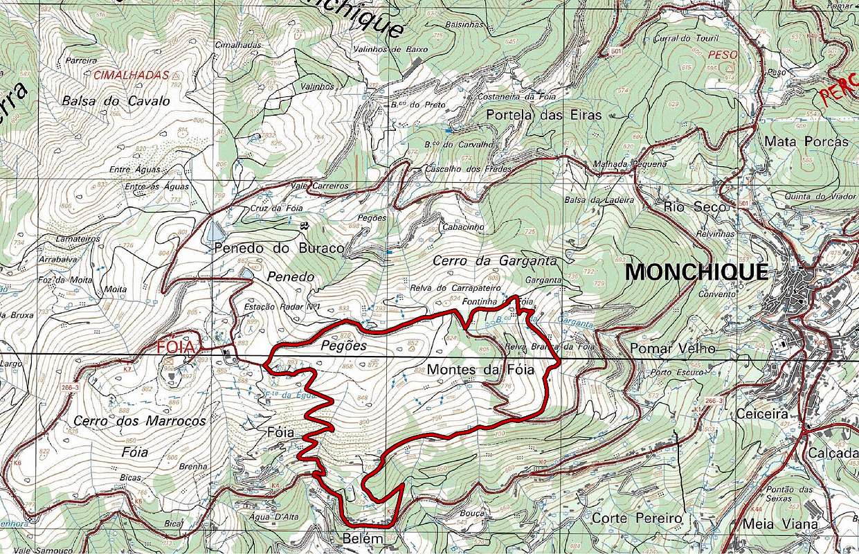


orlytravels - Apr 28, 2020 3:53 am - Hasn't voted
External Links BrokenI used this guide when I visited Mount Foia in March. Provides good info to the wider Monchique town and area. Also has additional info on some other hikes! https://wetravelportugal.com/monchique-portugal/