Grays and Torreys: The toughest part was the drive to the trailhead!

Grays and Torreys: The toughest part was the drive to the trailhead!

Page Type Page Type: Trip Report
Location Lat/Lon: 39.63390°N / 105.8169°W
Date Date Climbed/Hiked: Jun 23, 2002
Seasons Season: Summer

Overview

On June 23rd, 2002, I headed out to tackle these two fourteeners. I headed to the Bakersfield exit off of I-70 to reach the Stevens Gulch Trailhead.

You would think that with the trailhead just off of I-70, it would be easy to reach. In distance, yes, but in driving, no. First of all, I had a Ford Escort. My car was pretty small and a 2WD and I was basically off-roading! There are divots and rocks that make this a very difficult and potentially dangerous drive. Of course, I made it up the road alright. No flat tires or busted rims. I got to the trailhead a little before 6:30am. It was a beautiful day for a hike, with clear blue skies. There were less than 10 cars when I got there, and probably 50 when I returned.

The main trail gradually climbs between a huge rigde on one side, and Kelso Mountain on the other. After a couple miles, there are signs that show the remaining distance to the summits. I chose to hike up Gray's Peak first. Because the trailhead is about 11,000 feet, I was above tree line pretty quickly.

Grays Peak  photo_id=63591
Grays Peak (left) from early on the trail - with Torreys Peak poking out at the right of the photo


The trail to Gray's winded around, so the hike is never too steep. Up on the higher ridges I could see a mountain goat wandering about. The summit wasn't far off now. Once on the summit, it really didn't feel like 14,270'. It wasn't too cold and there was little snow on Grays or the surrounding mountains. The view from Grays is colorful, and quite pretty.

View of Torreys Peak, nearing...View of Torreys from the trail up Grays
Colorful view from the summit...View from the Grays summit
Grays Peak on the way to...Grays from the ridge route up Torreys


After 20-25 minutes or so on the top of Grays, it was time to bag Torreys Peak. I went down to the ridge between the two. The hike from Grays summit to Torreys summit took me about 20 minutes. Both have great views, but Grays is better. I could see the smokey haze from the Colorado fires in Pike National Forest, particularly the Hayman fire, which ravaged the Western areas in between Colorado Springs and Denver during the summer of 2002.

At the summit of Torreys the views were also pretty nice. We had a friend join us as you can see in the photo below.
Torreys Peak  photo_id=63412


Yes, the mountain goats are one thing that makes these mountains so special. On the way down I encountered a great deal of traffic. The trail is narrow at points, making the descent difficult in the summertime.

Conclusion

To sum up, Grays and Torreys are beautiful mountains, with a good hiking trail, and great views on the trail and at the top. With such well-crafted hiking trails, it is amazing that it has an extremely crappy road to the trailhead. Maybe they do that on purpose to discourage major crowds? If that is true, it has proven futile, since it is right off a major road, it is too crowded in the summertime. So many cars on the crappy road must only make the road worse. I am not particularly a fan of class 1 hikes like Grays and Torreys. I am a class two, class three type of climber. However, I couldn't help but appreciate the beauty of these mountains. Their accessibilty is always a plus. While my proudest achievement in mountain climbing is still Longs Peak via Clarks Arrow route, I still like to take a nice walk in the mountains now and then.


Comments

Post a Comment
Viewing: 1-2 of 2
Scott

Scott - Apr 12, 2007 12:18 pm - Hasn't voted

Another perspective.

Nice TR. Just in case you are interested or curious.

The counties and state just don’t have enough money to pave or grade every road in the state. Prioirty goes to roads that lead to populated areas and houses. Out west, the road to Grays and Torreys is nothing unusual.

I could use the county where I live as a good example. Moffat County is roughly twice the size of the state of Deleware. Minus a few “city” streets, there are only five paved roads in the entire county (and two of those are fairly short dead-end roads). Many more are gravel and graded fairly often. All the rest are only sporaticially graded or not at all.

If you don’t have a 4wd, there are still many ways around this. It is fairly common (in Utah especially) for people in cars to bring a bike and when the road gets to rough, you hop on that and lock it in the woods. In the example of Grays and Torreys, it’s not that far to walk or use an alternate trailhead.

Just for info only, and I thought you might enjoy hearing it from a different perspective. For some, the lack of “civilization” and “improvements” in some of the rural areas is an attraction.

hgrapid

hgrapid - Apr 12, 2007 12:44 pm - Hasn't voted
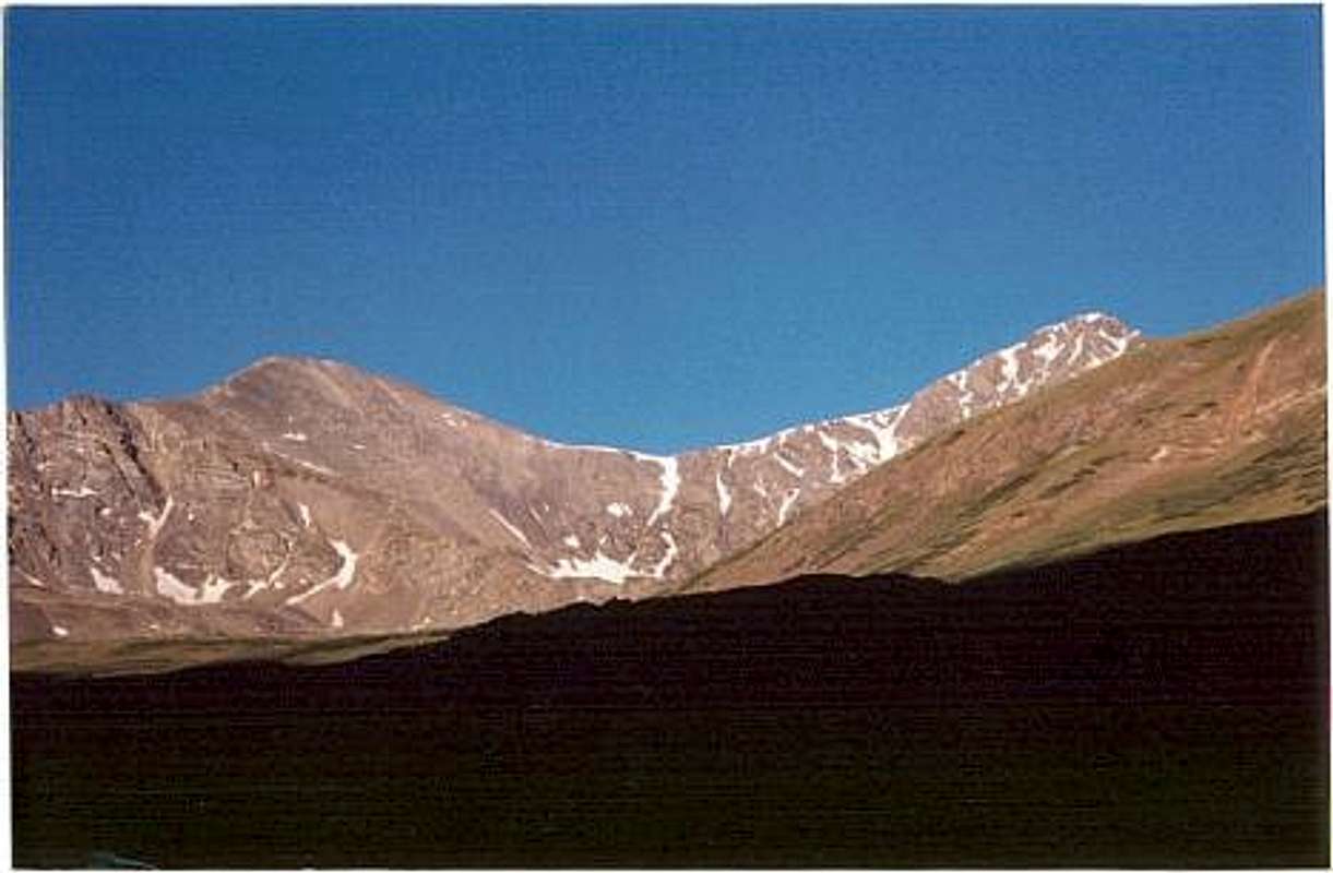
Good point, however...

Good point Scott, but what I meant by this heading is that the road to Grays and Torreys was far more rough than ANY other roads I encountered during my time living in Colorado. I mean, the road to Elbert and Massive, the road to the Indian Peaks, the roads in Rocky Mountain National Park, and roads to several other peaks I climbed never matched the roughness of this road. In that sense, I am pointing out how the way to Stevens Gulch, specifically, was difficult for my car at the time. I do know that many of the roads to Colorado 14ers have similar difficulties in tread. Thanks for the comment.

Viewing: 1-2 of 2

Table of Contents
Parents 

Parents

Parents refers to a larger category under which an object falls. For example, theAconcagua mountain page has the 'Aconcagua Group' and the 'Seven Summits' asparents and is a parent itself to many routes, photos, and Trip Reports.

Grays PeakTrip Reports
 
Torreys PeakTrip Reports