-
 12408 Hits
-
 85.75% Score
-
 21 Votes
|
|
Mountain/Rock |
|---|---|
|
|
39.09762°N / 122.48921°W |
|
|
Lake |
|
|
Hiking |
|
|
Spring, Summer, Fall, Winter |
|
|
3587 ft / 1093 m |
|
|
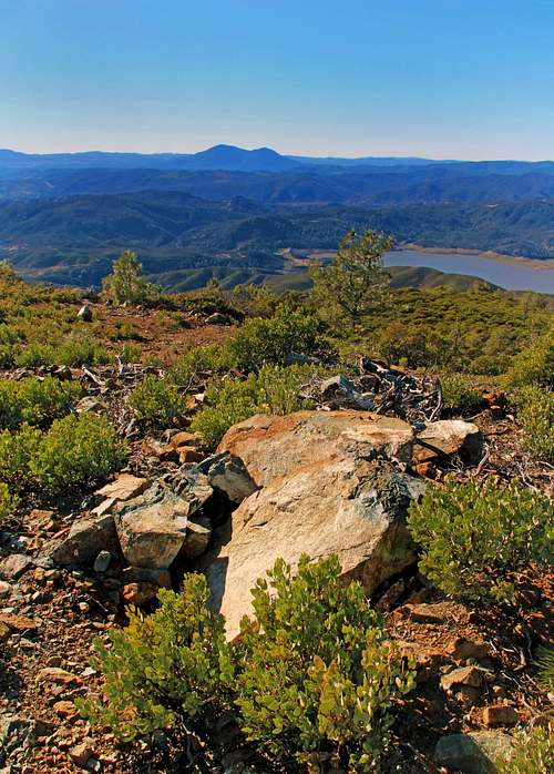
Overview

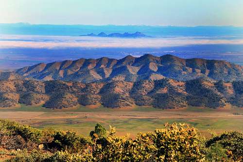
Central Valley pan from Cold Spring Mtn.
Getting There

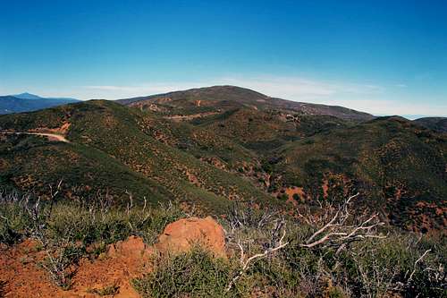
summit area
Cold Spring Mtn. from Walker Ridge Road
From Williams take 20 18 miles to the junction with Hwy 16. Continue right on 20 6.6 miles to Walker Ridge Road.
Take Walker Ridge Road 5.4 miles to a junction. Left goes down to Indian Valley Reservoir. Go right and continue on Walker Ridge Road another 3 miles to the top of Cold Springs Mountain.
Route
Trail on Cold Spring Mtn.
Red Tape
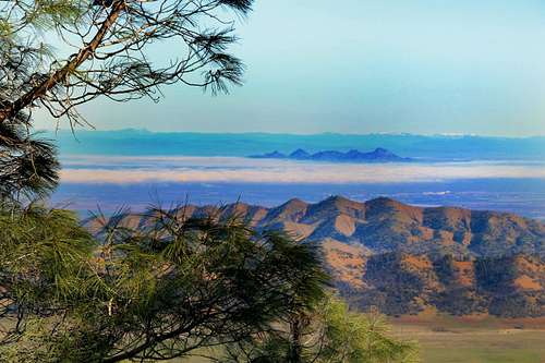
Sutter Buttes from Cold Spring Mtn.
Click on this link for Indian Valley/Walker Ridge Bureau of Land Management for more info on land use.
When to Drive
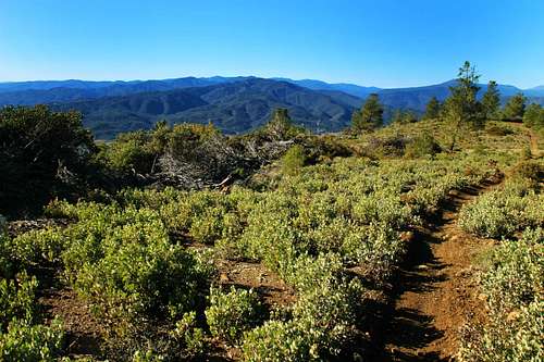
Mt. Konocti from Cold Spring Mtn.
Call this number for current road info: 530 662 0265
![Goat Mtn. Snow Mtn. and St John Mtn. from Cold Spring mountain]()
Goat, Snow and St John Mtn. from Cold Spring Mtn.
Click this link for camping info and scroll down a bit..![Sutter Buttes from Cold Spring Mtn.]()
Click here for the current and 10 day forecast for Williams
Camping
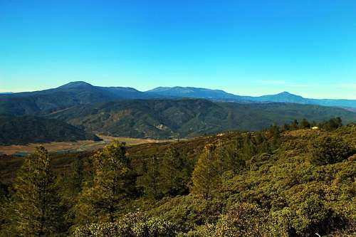
Goat, Snow and St John Mtn. from Cold Spring Mtn.
Click this link for camping info and scroll down a bit..
Current weather and forecast