Page Type Page Type: Mountain/Rock
Location Lat/Lon: 37.07156°N / 118.445°W
Additional Information County: Inyo
Additional Information Elevation: 13388 ft / 4081 m
Sign the Climber's Log

Overview

The Thumb is part of the greater Palisades subrange and is one of several 13K peaks that sit on the High Sierra crest between the two 14teeners Split Mountain to the south and Middle Palisade to the north. The first credited ascent and the naming of the Thumb was by Windsor B, Putnam in Dec 1921. The Thumb is one of the 248 list peaks designated by the Sierra Peaks Section of the Sierra Club Angeles Chapter. As the Thumb lies on the Sierra Crest between two trailheads, it is relatively easy to climb. The Thumb offers unparalleled views of Middle Palisade, Norman Clyde, and Sill.

First glimpseFirst glimpse from the vicinity of Brainerd Lake

Getting There

The Thumb can be approached from a number of different directions depending on the itinerary. The closest trail head approach is via the South Fork of Big Pine trail but easiest access is available to those hiking the John Muir Trail from the vicinity of upper Palisades Lake.

  • The South Fork Big Pine trail is the quickest approach to the western chutes of the Thumb and to a route using Southfork Pass. The approach starts from one of the two parking lots (day and overnight) and heads past the forest service cabins to a junction between the North Fork and South Fork trails. Three possible approaches can be used to gain the moraine north of Southfork Pass: 1) A direct approach leaving the trail in the vicinity of Willow Lake can be followed up the drainage just west of Mt Kidd, 2) the trail to Brainerd Lake to Finger Lake and then cross-country, or 3) the trail to Brainerd Lake followed by cross-country up the drainage just east past unnamed lakes. From here, several routes are available including the chutes on the northwest face and access to Southfork Pass (left).


  • The Birch Lake trail provides access to the southeast face of the Thumb. About the same distance as the South Fork Big Pine approach, it adds another 1000’ of climbing from a much lower trailhead. The trail from MacMurray Meadows stays high above the Birch Creek drainage on the north side. It ends at the outlet of Birch Lake.


  • Upper Palisades Lake on the John Muir trail can be reached by either using the Bishop Pass trail from the north or the Taboose Pass trail from the south (via Mather Pass). Neither route is trivial in terms of distance.


  • The Thumb, Birch Mountain, and Peak 4138 Line Up on the Horizon.The Thumb (left foreground) from Middle Palisade (Vladislav)

    Routes

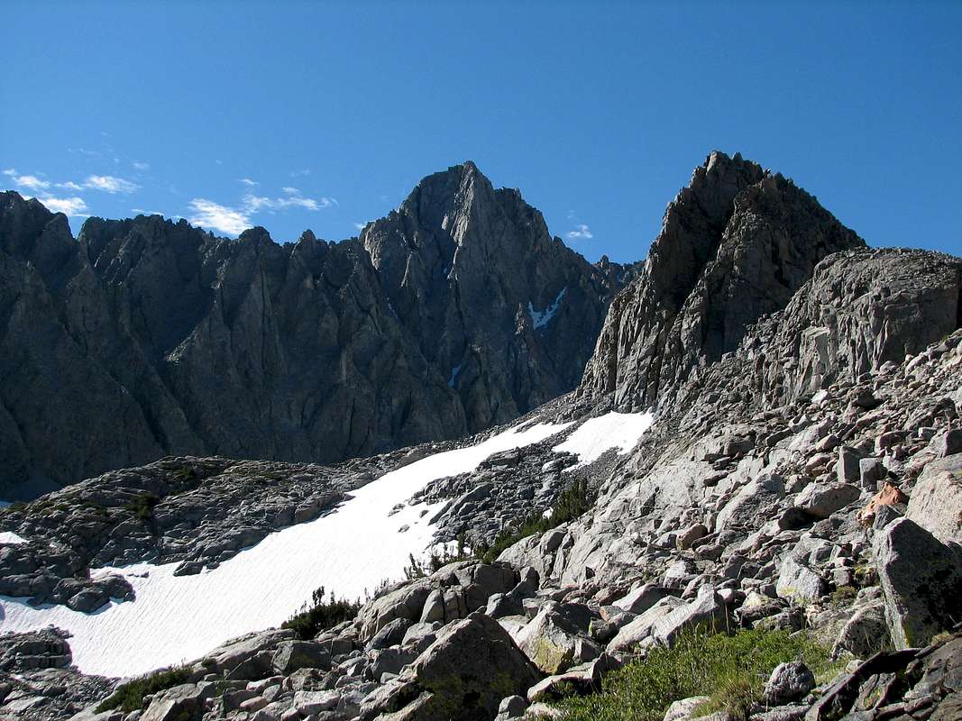
    There are a number of easy scrambling routes and not so easy climbing routes up the Thumb and probably a few undocumented routes as well.


    Southeast slope from Birch Lake (Felsberg, Aug 09)

    Southeast Slope (cl 2): This is a straight forward hike up from Birch Lake.


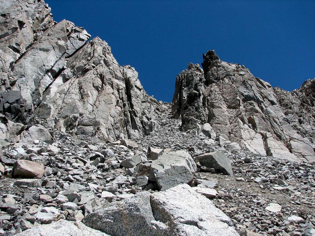
    Entry chute from the south (Aug 06)

    South Face (cl 2/3): This route can be accessed from either upper Palisades Lake or from the south side of Southfork Pass (crampons likely required for the north side). Aim for the large chute (loose!) just east of the crest heading up the south side of the Thumb. Follow this chute up until it narrows transitioning into the next chute to the right. This chute tops out on the Southeast slope which is then easily climbed to the summit.


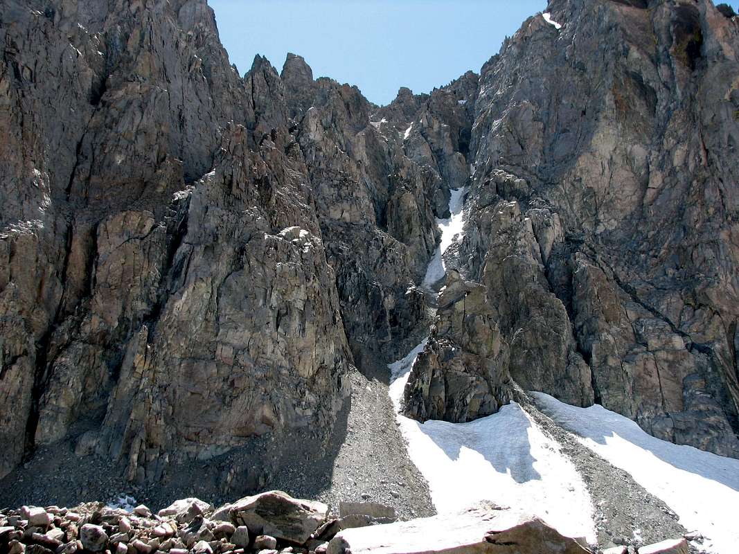
    Northwest couloir (Aug 06)

    Northwest Couloir (cl 4): This couloir is the prominent chute visible from the moraine just north of Southfork Pass. According to Secor, a large chock stone blocks progress requiring a bypass on the less. After the chute ends, move into the chute to the right which tops out on the slope below the summit.


    Northwest Face (Aug 06)

    Other technical routes exist on the northwest face including Black Dike (IV, 5.9), Northwest Corner (III, 5.7), and North-Northeast Ridge (III, 5.5). See Secor for more information.


    Red Tape, Weather, and Camping

    Everything you need to know about permits, regulations, and driving directions can be found on the Eastern Sierra - Logistical Center page. While overnight hikes require a wilderness permit, day hikes can be done without red tape.

    Climbing can be done in almost any season but May through October are the most popular times. In heavy snow years, the chutes and slopes may hold residual snow. This is also true for any of the routes over the Sierra Crest. Check for current weather.

    Camping can be done almost anywhere between the trailheads and the peak. Popular options include Brainerd Lake from South Fork Big Pine trailhead, Birch Lake from the Birch Lake trailhead, or the Palisades Lakes on the John Muir trail. For those who want to get closer, there exist two smaller lakes above Brainerd and the bowl just south of the Thumb contains multiple lakes as well.

    From DisappointmentView of Middle Palisade Glacier from the Thumb

    External Links

    Steve Eckert's excellent trip report on multiple Palisade climbs

    Sierra Challenge 2006

    Sierra Challenge 2011

    Children

    Children

    Children refers to the set of objects that logically fall under a given object. For example, the Aconcagua mountain page is a child of the 'Aconcagua Group' and the 'Seven Summits.' The Aconcagua mountain itself has many routes, photos, and trip reports as children.

    Parents 

    Parents

    Parents refers to a larger category under which an object falls. For example, theAconcagua mountain page has the 'Aconcagua Group' and the 'Seven Summits' asparents and is a parent itself to many routes, photos, and Trip Reports.

    PalisadesMountains & Rocks


    California ThirteenersMountains & Rocks