
|
|
Mountain/Rock |
|---|---|
|
|
38.99400°N / 77.24909°W |
|
|
Montgomery |
|
|
Hiking, Bouldering, Scrambling |
|
|
112 ft / 34 m |
|
|
Overview
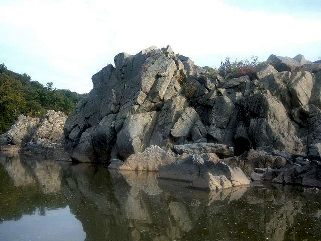
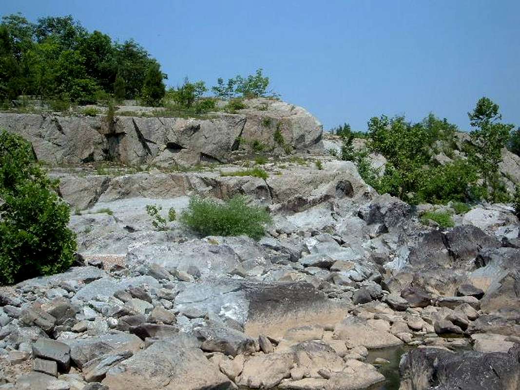
For Metro Washington DC residents, Great Falls National Park is the closest thing to the Great American West! Class 3 and Class 4 rock islands rise above the river. The Rocky Islands reside right off of the Maryland side of the Potomac River, and they would need to be traversed to get to the Potomac River itself. Although no summit rises more than 100 feet above the water, the rock climbing is outstanding, as are the views of the nearby rock formations and waterfalls. You can achieve many a summit on these islands, or you can simply play on the rocks for an hour or two, exploring the wonders of the Great Falls area. I have identified 5 summit areas which can easily be accessed via the C&O towpath trail on the Maryland side of the river. |  |  | 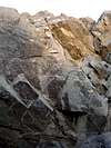 |  |
Getting There
Closest Parking Areas to the Rocky IslandsTo get to the Rocky Island area, take Exit 41W off I- 495 (Beltway) and take MacArthur Blvd.
The closest parking area is basically where MacArthur Blvd ends. You will see signs for C&O Canal Historic Park, Great Falls Maryland at Falls Road. Follow the signs to the parking area. Get on the towpath and take a left. Hike 1/2 mile to the beachhead for the Rocky Islands.
Closer to Washington DC, you can also reach the Rocky Islands by taking the Beltway, getting of at MacArthur Blvd, and driving West for about 2 or 3 miles until you see Old Anglers' Inn on the right. There are parking on both sides of the road. Park here and walk down to the C&O towpath, and take a right. Hike the towpath for about 1½ miles, and find an entrance to the beachhead area.
Regardless of where you park, the trails to the beachhead area are just North of the clear overlook (with a fence) of the Rocky Islands.
Bike Trail
The Rocky Islands can also be reached by the Canal and Ohio Towpath trail which connects Washington DC to Cumberland, Maryland. The bike trail can accessed via Canal Road which can be accessed in Georgetown, once you cross over Key Bridge, or from the Chain Bridge after it crosses over into Maryland. There are parking areas along Canal Road (which eventually becomes the Clara Barton Parkway).
 | 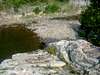 |
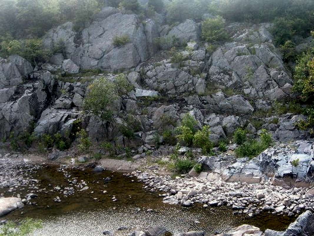
Viewing the Potomac River

To get to the Potomac River and view waterfalls and rock cliffs towering above the water, you need to go right and traverse the rocks, until you get to a crossing that involves getting a little wet. Basically, you have to jump from rock to rock which is tricky, but well worth it to see the beauty of the cliffs along the Potomac!
 |  |
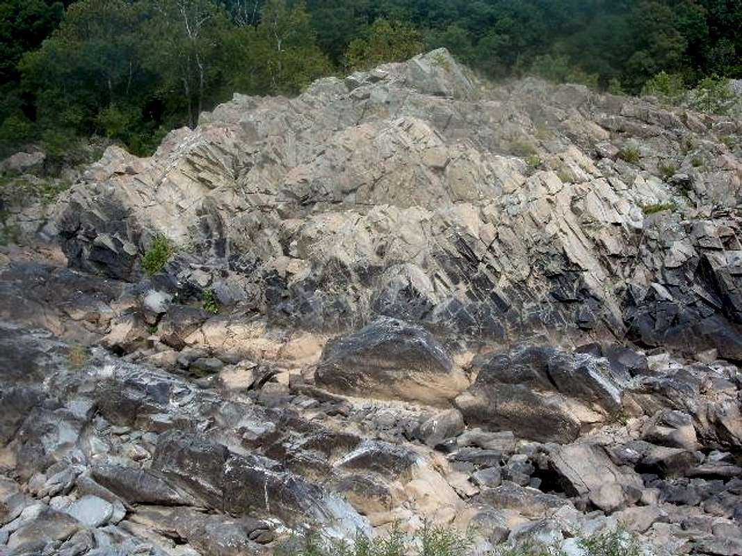
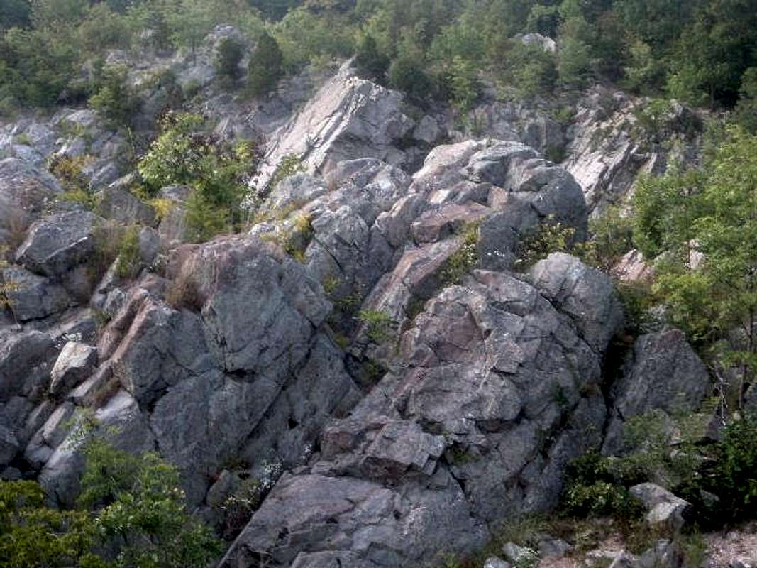
The 5 summits
There are 5 distincts summits to reach in the area. Three front summits, and two back summits. The south back summit being the highest summit in the area.Two South front summits
Class 3,4 rock climbs
25' of elevation gain
These summits are connected by a ridge on top, which is why I have combined them. The one in the photo is the highest of the two summits.
2nd front summit
Class 2 rock climbs
25' of elevation gain
3rd front summit
Class 2,3,4 rock climbs
35' of elevation gain
South back summit (Highest Summit)
Class 3 rocks climbs
40' of elevation gain
North back summit
Class 3,4 rock climbs
35' of elevation gain
For a longer climb on the Rocky Islands, see the Billy Goat Trail route page, submitted by Charles D.
 |  |  |  |
When To Climb
During the summer months, the water level is usually low enough to allow easy access to the rocks, but other times of year you need water gear or a small boat (or kayak) to get across to the climbing area.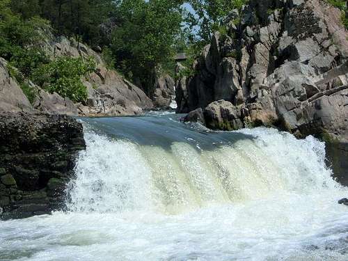 Waterfall just across from the Rocky Islands on the west side
Red Tape
There are lots of parking spots in the park itself.$4/Car & $2/Person
It is free for bikers if you park a few miles away and take the towpath to the area. It is also free at the Old Anglers' Inn parking area. Bikes are safe if you hike down the trail and leave it on the beachhead or trail area.
 |  |
Mountain Conditions
You may visit the park website or call them at 703-285-2965.You can also check the weather.
External Links
- Great Falls National Park
Great Falls National Park homepage
- Chesapeake and Ohio Canal Trail
Links and Maps about the trail and the area