
|
|
Mountain/Rock |
|---|---|
|
|
39.71088°N / 77.95984°W |
|
|
Hiking |
|
|
Spring, Summer, Fall, Winter |
|
|
1446 ft / 441 m |
|
|
Overview
 Blair's Valley with Sword Mountain on the left
Sword Mountain is a mountain in the Bear Pond Mountains area of Maryland. It runs almost directly in a south to north direction in the Ridge and Valley System of the Appalachian Mountains. It's southern terminus is at Stone Cabin Gap along Hanging Rock Road. It runs to the north into Pennsylvania where it melds into Two Top Mountain. To the west of Sword Mountain is Bear Pond Hollow and on its east side is Blair Valley.
Sword Mountain has no maintained trails, but can be summited rather easily, with caution. An approach from the east will be met with a rather steep climb near the ridgline. A much more gradual climb is from the west side.
A obvious forest fire in the past has left the ridge (especially the steep east side) scarred. Burned trees, can still be seen and the rough growth of thorny berries and locust trees are everywhere as they fill the burn area with vegitation. It makes bushwacking the east side a nightmare near the steep ridge top. If you hike north along the base of the mountain you will eventually fins a clear cut area that goes up and over the ridge, the right away for a gas pipeline. The cut, if you find it, is overgrown but makes the climb much easier from this direction.
 Clearcut
 A stream on the way up
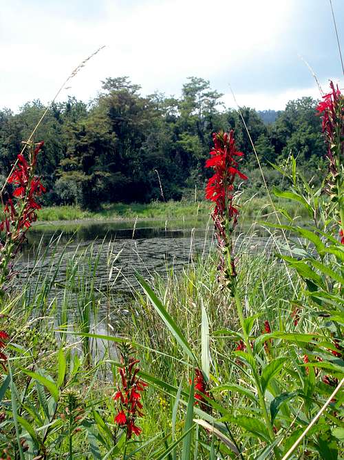 Cardinal Flower
Sword Mountain is all public land inside of the Indian Springs Wildlife Management Area (external link)
Getting There
 Trailhead at the parking area
Directions
From I-70, take the Clear Spring exit and travel north on Route 68. Cross Old Route 40, bearing left onto Mill Street. Continue to a fork and bear right onto Broadfording Road going east approximately 1 mile. Take the first left onto Blair's Valley Road. The entrance to the WMA is approximately 3 miles north. For more information, contact the Indian Springs Wildlife Office at (301) 842-2702.
There are several parking areas near the WMA Headquarters on Blair's Valley Road and Blair's Valley Lake. Sword Mountain is the long ridge to the west of this location. Just past the headquarters buildings is a parking area for the self-guided nature trail. These trails circle the lake, but will also start you towards Sword Mountain. None of the trails are greatly marked or maintained, but using them in a general westward direction will get you in the right direction.
Red Tape
 Topo of Sword Mountain
Camping is only allowed at the camping area at the Indian Springs WMA headquarters. For information about camping at Indian Springs, please contact the office at 301-842-2702. No campfires allowed.