-
 9056 Hits
-
 73.06% Score
-
 3 Votes
|
|
Mountain/Rock |
|---|---|
|
|
14.80000°N / 91.58333°W |
|
|
San Martin Sacatepequez |
|
|
Hiking, Mountaineering |
|
|
Spring, Summer, Fall, Winter |
|
|
11056 ft / 3370 m |
|
|
Overview
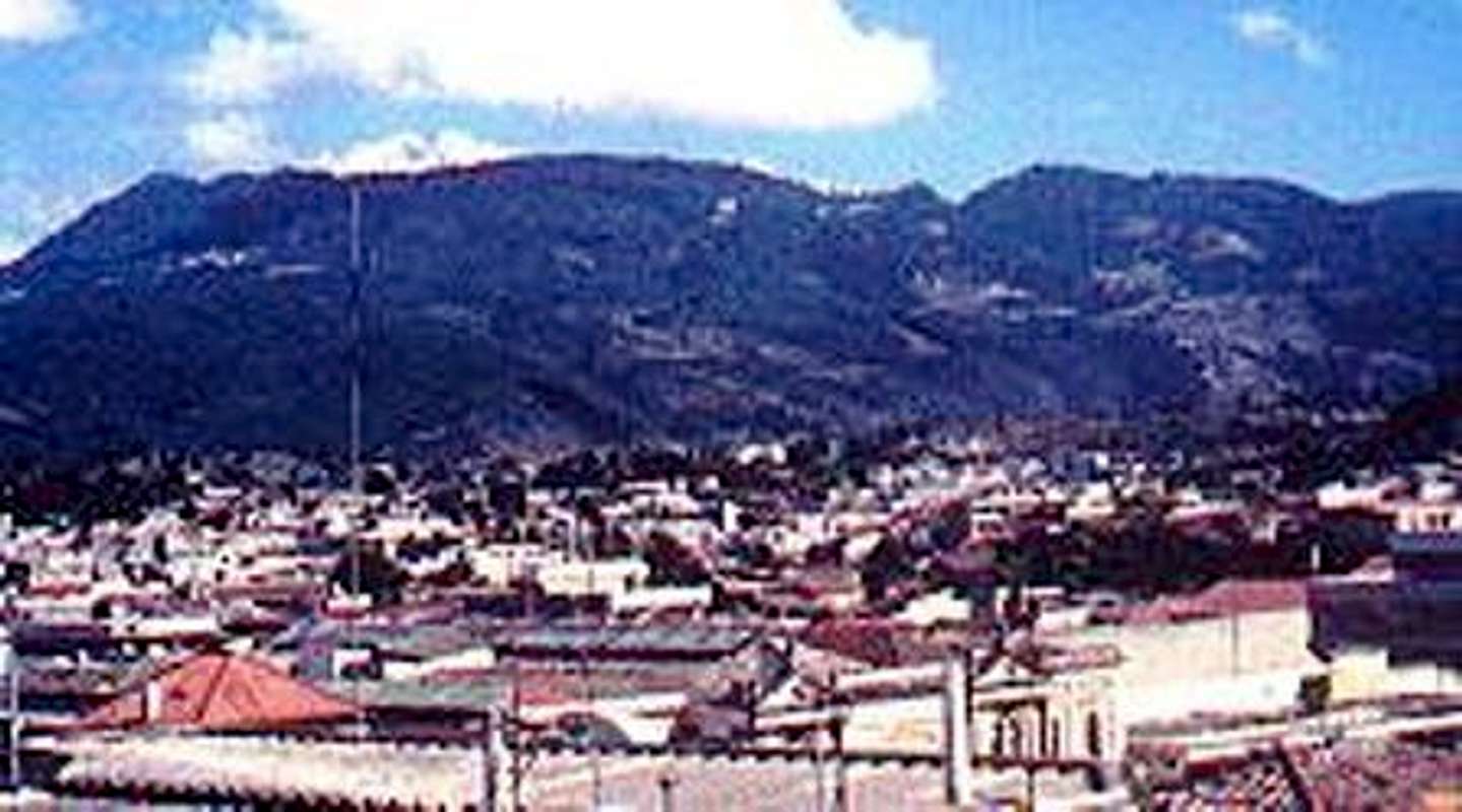
volcan Siete Orejas alternatives names: Tuigucxingan and Vucxiquin.Siete Orejas means "seven ears", as the name suggested is a volcano with seven peaks. Two main peaks looks so similiar 1) 3157 mts and 2) 3370 mts at north-east face, both separated by 4 kms edge. The highest peak have a couple of wood crosses on top with rocks puttings in a circle. Uses by locals for ceremonial rituals.
Crater is so huge, erosionated by the south side. Looks as a horseshoe.
Getting There
From Guatemala city to Quetzaltenango, then go to San Juan Ostuncalco, next is a nice town named San Martin Sacatepequez (San Martin Chile Verde) 25 km from Quetzaltenango. At the center of the town is a big church. To the north/east take a little trail with white sand. This was deposited by some eruptions from Santa Maria Volcano in 1902. A few homes more then forest begins. Is a lot of trails, many of them going to nowhere, so if you can find a local guide recomended. About 3 hours to the top.Camping
No necesary at this volcano, but if you get there early morning is possible to do Volcan Chicabal at the same day. There is a nice place to camping.External Links
Map of the zoneVideo a group of mountainneers on the top
My own site


