
-
 23206 Hits
-
 86.44% Score
-
 23 Votes
|
|
Mountain/Rock |
|---|---|
|
|
34.33650°N / 117.9367°W |
|
|
8038 ft / 2450 m |
|
|
Overview
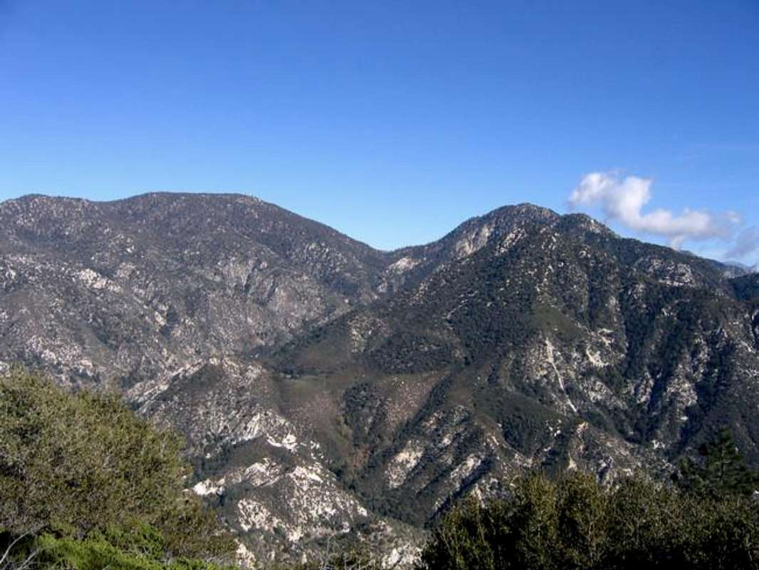 The San Gabriel Mountains taper in height as they run westward from their apex at Mount San Antonio (Old Baldy, 10,064') to the 5-6,000' peaks standing over the eastern San Fernando Valley and the Santa Clarita area. At 8,038 feet, Waterman Mountain is the last summit to exceed 8,000 feet. Due to the broad nature of the summit area, the views it offers are mainly to the south. An ascent may easily be combined with an ascent of the more remote Twin Peaks (7,761') to the south.
 Mount Waterman was named after Liz Waterman who, with her husband Bob, and Commodore Perry Switzer, made the a complete traverse of the range from the Los Angeles Basin to the desert and back in 1889. Lady Waterman was believed to be the first white woman to cross the range, and so her companions named the peak in her honor. The USGS dropped "Lady" from the name when the area was mapped. Bob Waterman tried in vain to convince the agency to correct their error. The name persists as a tribute to her accomplishment, and a monument to bureaucratic stubbornness.
A ski area that occasionally gets enough snow to operate adorns the north slopes. As one might expect, the skiing here is quite excellent by San Gabriel standards. The broad summit area provides well over 100 acres of gentle terrain suitable for all kinds of skiing, and the north slopes offer steeper grades for those who are up on their turning skills. If the ski lifts are operating you might be forced to buy a lift ticket.