-
 1815 Hits
-
 76.66% Score
-
 7 Votes
|
|
Mountain/Rock |
|---|---|
|
|
47.64404°N / 11.94534°E |
|
|
Hiking, Skiing |
|
|
Spring, Summer, Fall, Winter |
|
|
5942 ft / 1811 m |
|
|
Overview
If you find the Spitzingsee hiking area in common and the Rotwand area in detail too crowded and the summits too full of people, that being the fact in summer AND winter – choose more lonely Auerspitze as your one day mountain summit.
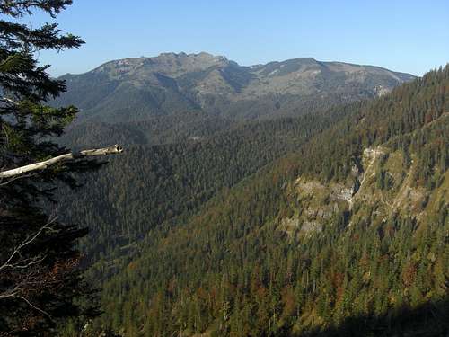
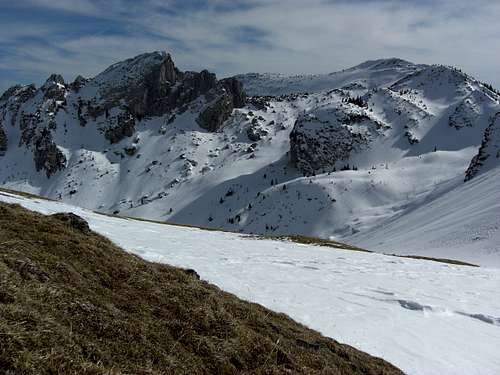
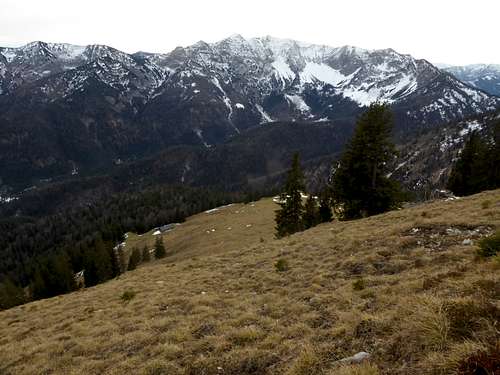
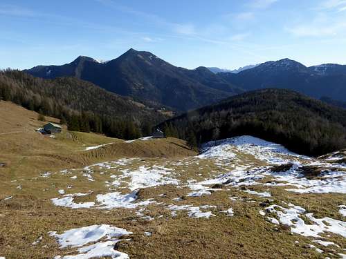
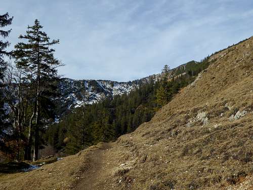
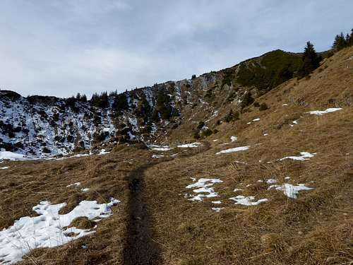
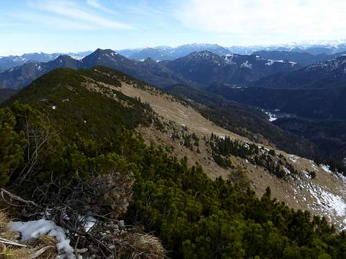
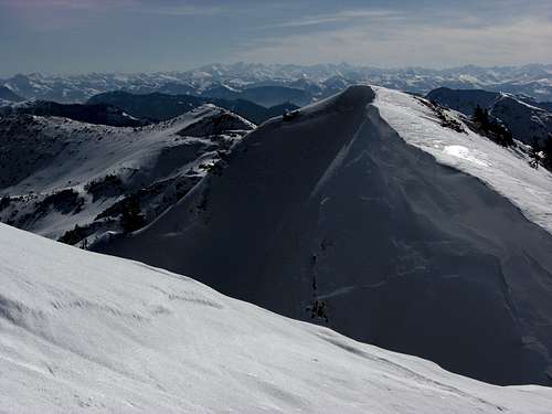
Auerspitze and its long east ridge, called Maroldschneid, is the south part of the huge, U-shaped Rotwand subarea within Bavarian Prealps. The neighbour summits are Rotwand to the northwest and Ruchenköpfe, a famous climbing area, to the north. To the south there is no immediate neighbour summit, only less high secondary summits; thus the views from Auerspitze are great, especially to the south.
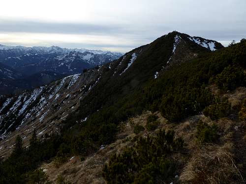
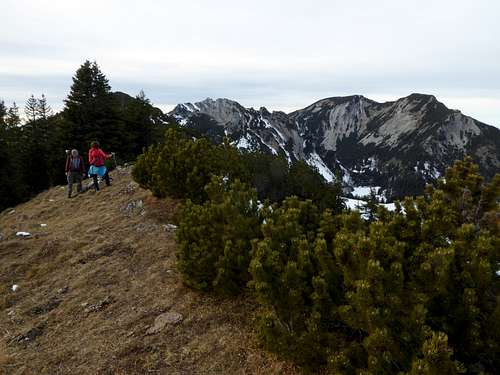
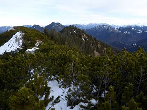
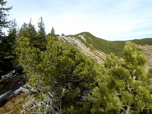
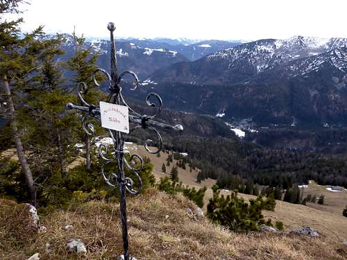
To the east there is the long ridge, called Maroldschneid, which ends at a last eastern bump, called Sillberg. On some topografic maps Maroldschneid is a summit on its own. In fact it is just another bump in the ridge with no dominance but with a small “summit cross” on the top. I mention Maroldschneid here as there is a very nice route to or from Auerspitze, using this ridge.
Auerspitze is summited the whole year round. There are three main hiking trailheads for this summit and ski touring in winter and spring is very common, too. The famous “Rotwand Reibn”, a ski tour loop, touches Auerspitze as one of the possible summits.
Nevertheless Auerspitze is not as crowded as you may expect. It is not the highest peak of the Rotwand subgroup and its situated on the southern rim of it.
Getting There
Trailheads for Auerspitze are:
Spitzingsee parking areas
Geitau hiker parking area
Bayrischzell / parking area “Beim Schweren Gatter / Sillbach”
You arrive the trailheads by car
From Munich and Salzburg region using highway A8 to exit "Weyarn". Go on St2073 to Miesbach and on road number B307 to Schliersee and Neuhaus.
- Turn after Neuhaus on Spitzingseestraße and ascend to Spitzingsee. Best use parking area “Kirche” for your start.
- For Geitau keep on road number B307 after Neuhaus until you reach the small village. Leave the road and follow the village main road to the hiker parking area.
- For trailhead “Beim Schweren Gatter / Sillbach” keep on road number B307, passing by Geitau until you arrive at Bayrischzell. Turn there on Tiroler Straße in the direction to Kufstein and Landl until you reach the hiker parking area.
From Kufstein and Innsbruck region leave the Austrian highway A12 at exit “Kufstein Nord”. Follow Thierseestraße to the villages of Thiersee and Landl, pass the Austrian / German border and proceed on the road until you reach first the trailhead “Beim Schweren Gatter”.
Alternatively go on to Bayrischzell, turn on road B307 to Geitau and to Spitzingsee trailheads.
Public Transportation
The private railroad company BOB serves the line München – Bayrischzell.
For Spitzingsee trailhead use the railroad station Neuhaus and the public busses to Spitzingsee.
For Geitau trailhead hop off at Geitau station; a 1 km walk brings you to the trailhead.
As far as I know there is no bus from Bayrischzell railway station to trailhead “Beim Schweren Gatter / Sillbach”.
Routes Overview
Routes Overview
Hiking routes
From Spitzingsee parking area:
- Spitzingsee – forest road to Rotwandhaus – descend to col 1688 m – ascent to Kümpflscharte and to the summit; alternatively
- Spitzingsee – forest road and trail to Obere Maxlrainer Alm and Taubensteinsattel – Taubenstein – Lempersberg – Kirchstein – Rotwandhaus – Kümpflsattel and summit
Both routes can be combined to a loop
From Geitau parking area:
- Geitau – forest road to Kleintiefenthal Alm – Miesingsattel – Großtifenthal – col 1688 m – Kümpflscharte and summit; alternatively
- Geitau – forest road to Soinsee lake and Großtiefenthal Alm – col 1688 m – Kümpflscharte and summit
Both routes form a loop
Parking area “Beim Schweren Gatter / Sillbach":
- Forest road to Sillberghaus – trail to Wirtsalm and Sandbichler Alm – Auerberg col – summit; alternatively
- Forest road to Sillberghaus – trail to Wirtsalm and Sandbichler Alm – off trail ascent to Maroldschneid – narrow unmarked trail along the ridge to the summit
These two routes can be linked together to a loop
- Forest road to Sillberghaus – forest road to Soinalm - Trail to Ruchenkopfhütte – col between Ruchenköpfe and Auerspitze – north ridge to summit.
This route, too, can be linked together with one of the beforehand mentioned routes.
Winter ski ascent
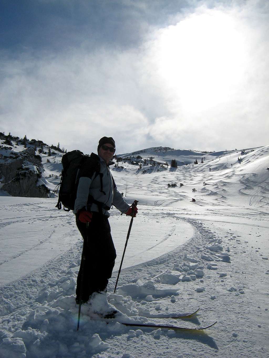
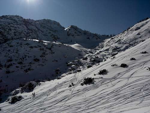
As the Rotwand Reibn passes Kümpflsattel, the col immediately northwest of Auerspitze, our peak can be summited easily from there. With a good snow cover the slope from the summit to Großtiefenthal Alm is a powder dream!
An extended Rotwand Reibn will use the slope from Auerspitze to Soinsee – another powder dream – and a longer ascent, first to Großtiefenthal Alm and then on the Rotwand Reibn normal route to Miesingsattel
- The second ski route starts at Geitau, goes to Soinsee and uses then the ascent Großtiefenthal Alm – Kümpflscharte – summit or Ruchenkopfhütte – summit.
- A third but - in my opinion - less interesting route follows the above mentioned third route from the trailhead "Beim Schweren Gatter / Sillbach" to Ruchenkopfhütte and to the summit
Red Tape & Accommodation
The Auerspitze - Maroldschneid east ridge from Auerspitze summit to Sillberg subsummit is a wildlife sanctuary in winter. Ski tour activities are banned in this area.
Accommodation can be found at
Mountain huts
Gear & Mountain Condition
Auerspitze is a year round summit.
In spring, summer and autumn its an easy hike which requires normal hiking gear. Pols and gaiters are required in late spring.
In winter you need full ski tour and avalanche gear. Snow shoe tour is possible too.
For both see the Bavarian avalanche bulletin here.
Weather condition at Spitzingsee:
Maps
There are many hiking maps for the Rotwand area. The two best are
Alpenvereinskarte Bayerische Alpen, scale 1 : 25000
- Number BY15 Mangfallgebirge Mitte, Spitzingsee, Rotwand, edition 2019 with trails, snow shoe and ski routes; together with
- Number BY16 Mangfallgebirge Ost, Wendelstein, Großer Thraiten, edition 2017 with trails, snow shoe and ski routes
Bayerisches Landesamt für Digitalisierung, Breitband und Vermessung, scale 1 : 50000
Number UK50-53, Mangfallgebirge, edition 2014
