|
|
Mountain/Rock |
|---|---|
|
|
48.03473°N / 121.61064°W |
|
|
Snohomish |
|
|
4485 ft / 1367 m |
|
|
Overview
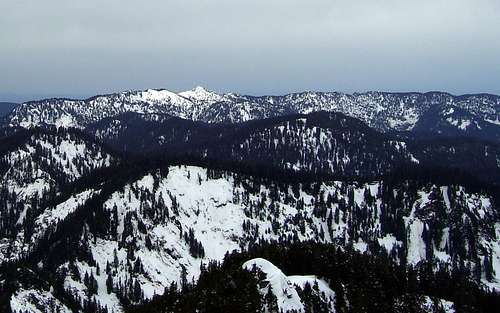
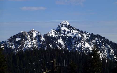
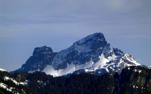
Everett Peak and Blackjack Ridge from Marble Peak. Blackjack Ridge is in the bottom half of the photo, while Everett Peak is above it and just right of center. The high peak in the background is Bald Mountain.
Getting There
From Granite Falls, follow the Mountain Loop Highway east for 18 miles to the Mallardy Ridge Road (FR4030 - Just before Red Bridge on the Mountain Loop Highway). Turn right onto FR4030, which will fork in 1.3 miles. Stay to the left, which will continue as FR4030 - continue another 4.7 miles to the end of the road. This road is in good condition, and should be passable to most vehicles, as long as it is not snow-covered.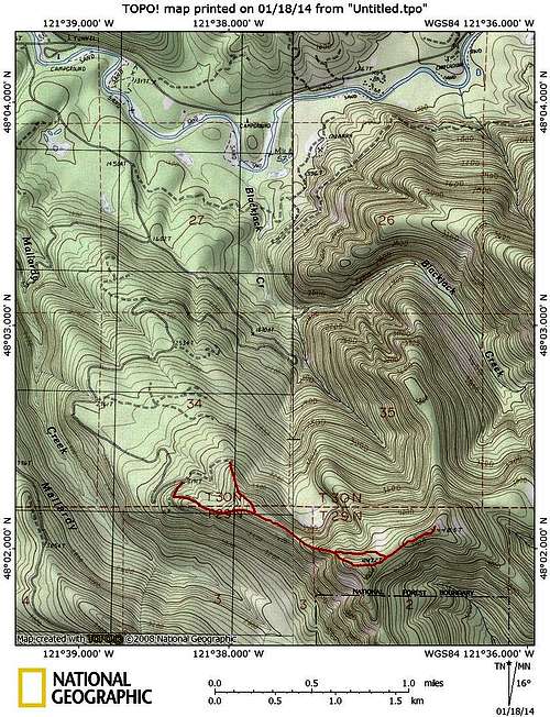
Everett Peak route map. When the upper portion of FR4030 is snow covered, one can easily walk an old road bed to 3500' from the intersection at 3191'. When the road is not snow covered, it is recommended to continue to the end of the road at 3300', then head uphill to the south to join the route.
Update (5-20-14): I was able to drive to the end FR4030 today, and took the route option from the road end. I found this to be better than taking the old spur to 3500', and would probably recommend it, regardless of snow conditions.
Route
If starting from the end of the road, head uphill south, then southeast, to join the ridge trending west from Everett Peak's summit. If walking the upper roads due to snow, take a right turn at an intersection located at 3191'. From the end of this spur at 3500', just a few hundred feet of bushwhacking will put you into old growth timber, and easy travel along the ridge crest (This road spur appears as if it would be brushy in summer months). The ridge crest you will follow towards Everett Peak's summit is very well defined, and route finding will not be an issue. Continue following the ridge directly towards Point 4472' - it will begin angling up a little at the 3800' level (mostly class 2). There will be one 20' rock step at the 4100' level, which is surmounted with easy class 3 climbing (no real exposure). Soon after this, the views to the north will begin opening up.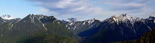
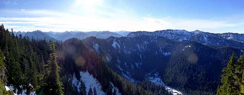
Everett Peak north pano. Left to right: Whitehorse, Anaconda, Jumbo, Bald (the other Bald), Long, Devils.
From this point, it is possible to turn left off the ridge, and traverse around Point 4472', but I highly recommend going over the top of Point 4472', as it provides the best south views.
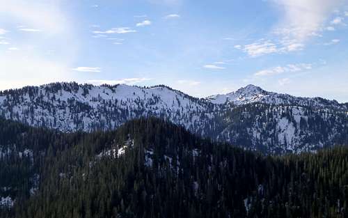
Everett Peak - south pano
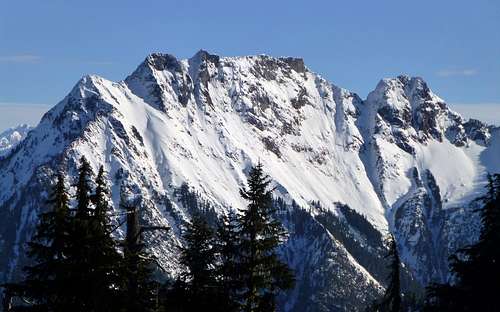
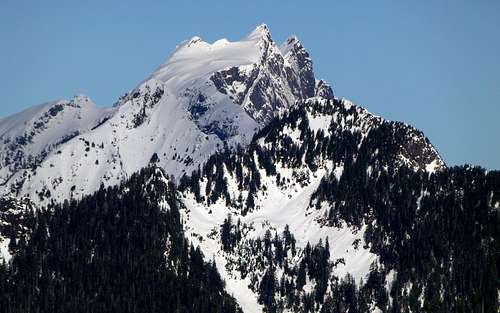
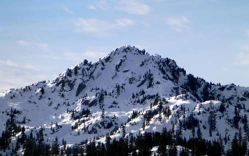
Bald Mountain from Everett Peak
From Point 4072', descend about 100', and continue 0.4 miles northeast to Everett Peak's 4485' summit. The true summit has no view to speak of, but if you travel just a few hundred feet more to the northeast, you will suddenly break out into a meadow that will give pleasing views towards the east and west.