The summit of Greifenberg is a worthwile mountaineering goal in Schladminger Tauern. But more than by its mountaineering value Greifenberg is known by the neighbouring high mountain area called Klafferkessel. It is an undulated high plateau with more than 30 beautiful lakes on the altitude between 2100 m and 2300 m. From Greifenberg you have a very beautiful view on the neighbouring Hochgolling, the highest peak of Niedere Tauern, on the eastern side on the long Hochwildstelle - Waldhorn range, towards the NW on Dachstein and towards the S and SE on the rest of Niedere Tauern and more distant mountains. The panorama is very similar as the one, described on the Hochgolling page.
Greifenberg is rising in the main crest of Niedere Tauern. From Hochgolling the ridge towards it goes towards the north-east, from Greifenberg it continues towards the east on Waldhorn. The western slopes of Greifenberg are high and steep, falling 1000 meters down into the valley of Steinriesen Bach. Just below Greifenberg there's the Golling Huette, 1641m, where the majority of ascents on Hochgolling begin. Over these western slopes also a marked path ascends on Greifenberg. Towards the north and east, Greifenberg's summit sends two ridges. The northern one soon lowers, while the eastern one, called Klafferschneide continues to Waldhorn, representing the border between the northern and southern slopes of Niedere Tauern. Between these two ridges, 600 meters below the summit, the plateau of Klafferkessel lies. To the north-east of this plateau there's another strong ridge, going along Riesach valley in the south-north direstion. One of the most picturesque summits in this ridge is Greifenstein, the object of many pictures, on which its summit is mirroring in the nearby lake.
Summit Views
On Greifenberg
towards the east
Hochgolling
Klafferkessel
This natural wonder of Steiermark is a relict of the last ice age. Once it was covered by a glacier, but when ice retreated, on a high, a bit slanted plateau more than 30 beautiful lakes stayed. Seven of them are bigger, the rest are small. Clear water is flowing from one lake to another, the surrounding mountains are mirroring in them. Also flora on the neighbouring meadows is unique. The scenery from Klafferkessel can be seen on any tourists attracting postcard of Steiermark.
The majority of visitors enter Klafferkessel paradise over Klaffer Scharte - a notch in the ridge north-east of the plateau. From Preintaler Huette they do some 500 meters of ascent, cross the slope below the rocks of the ridge, reach the notch - and on the other side one surprise after another is awaiting them. On a nice day for sight-seeing Klafferkessel you need at least two hours. Then only, ascend Greifenberg or return down in Riesach valley.
Klafferkessel
Klafferkessel
Klafferkessel
Riesach Waterfalls
The upper part of Klafferkessel waters is flowing down into Riesachbach, which finally drops over a rocky step, forming a powerful waterfall. To the parking place near the waterfall you can drive from Schladming by car (also bus connection). There's a mountain hut and restaurant, and the marked path branches. While the one towards the south goes to Golling Huette, the left one ascends in the south-east direction. Entering the woods we soon hear the loud noise of the waterfall, which is certainly worth visiting. Some 300 meters above, when we overcome the valley step, Riesach valley flattens completely and we hike along the artificial lake towards Preintaler Huette.
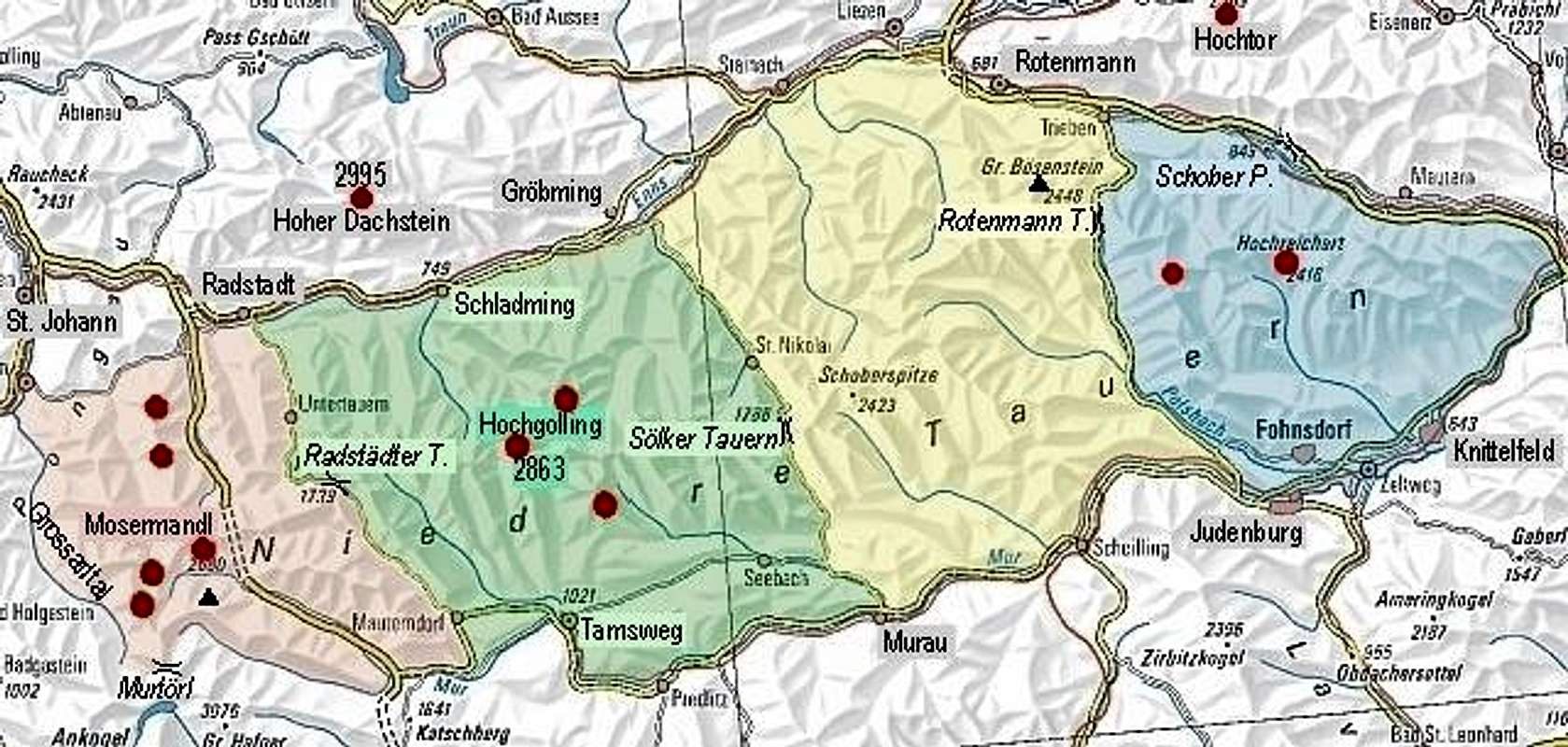
For the north approach, we start in the famous tourist resort Schladming, 749 m, and drive southwards into Untertal. The road finishes at Riesach waterfalls, 1079 m, where you find a big parking place. This place has also a bus connection with Schladming.
For the south approach you start in Mur valley, in Tamsweg, 1022 m, and drive northwards into Lessachtal. The valley is long and quite flat, but the public road seems to end in Lessach, 1198 m, from where you have quite a long hike to the top of Greifenberg. Perhaps a good idea for the lower part of the valley would be a bike?
From the parking place at Riesach waterfalls, 1079 m, you ascend through the woods in the eastern direction and after gaining 250 m of altitude reach the flat lower part of Riesachbach valley. By the lake you hike towards the SE, until after Kotalm the path starts to ascend steeper. Above the next valley step there's the Preintaler Huette, 1657 m. 2 hours till here (more if you visit also Riesach waterfall). From the hut you turn towards the SW, ascend over grassy slopes and soon enter Lammerkar. After a short ascent through this valley, by the creek, you reach the important crossroads. There you turn right, towards the west and soon start ascending in many turns over a steeper slope. When the path reaches rocky walls, it turns left below them (towards the SW) and without gaining much more altitude you reach Klafferscharte, some 2200 m.
Towards Dachstein
On the other side you descend a bit on the plateau of Klafferkessel. From the hut 1 h 45 min. Over Klafferkessel, the path winds around several lake shores towards the south. You gain only a little altitude. From above Obere Klaffersee the path starts ascending steeply again. It is rocky, but well beaten and marked. So you reach the ridge of Klafferschneide and you have only a few rocks to the top. Just below the summit there is one more narrow and even exposed place, where the route is protected by a cable. But there are no serious problems and in a few minutes you reach the top. From Klafferkessel 1 h 30 min, from the parking place altogether some 5 h 30 min.
Above Golling Huette
2. From Golling Huette
From the parking place at Riesach waterfalls, 1079 m, you continue by the right valley towards the south. The road is closed for public traffic. Later it turns into a well beaten, marked path, which brings you soon to Golling Huette, 1641 m. Good 2 hours till here. Reaching the hut, you turn eastwards and start ascending over the western slopes of Greifenberg. Through the woods and later dwarf pines you quickly gain altitude, but the path also does a long turn over the slope. First it goes towards the north-east, then for a longer time towards the south-east. Below the Greifenbergsattel you ascend again towards the east and passing a small lake you soon reach the saddle in the southern ridge of Greifenberg. From here to the top you have only some 150 meters more to the top. This route is all the time good, well marked path, steep on some places.
3. From Lessach
From the town, 1197 m, or from Lasshoferhuette, 1270 m (reachable by car, you need to pay toll for the road) you continue by the main valley towards the north. On the altitude of 1434 m, at Hinteralmhuetten, the main valley ends. From here you continue by the right branch towards the north-east. The valley is rising a bit steeper, then over the valley step and the upper part of the valley you reach Zwerfenbergsee, 2024 m. Some 4 hours till here. Many marked paths reach this lake from various sides. If you continue towards the north, you will reach the main ridge of Niedere Tauern and Klafferkessel on the other side. For the summit of Greifenberg you turn by the lake towards the west, soon pass the Lungauer Klaffersee, 2197 m, and after it ascend towards the north-west on Greifenbergsattel. From this saddle to the top in the northern direstion. Some 7 hours (from Lessach) altogether.
For the summit ascent there are no limitations. Otherwise the area is protected as the Niedere Tauern National Parc.
Huts and Camping
Golling Hut (1650 m)Gollinghuette, 1641 m. Opened from mid June to end September. 80 beds. Tel.: 03687/61350. From Riesachfaellen, 1079 m cca 2 h.
Preintaler Huette, 1657 m. Opened from start of June till end of September. 130 beds. Tel. 0664/1448881. From Riesachfaellen, 1079 m cca 2 h.
Lasshoferhuette, 1270 m. Private hut. The road from Lessach needs to be paid, in summer also a mountain bus connection from there.
When To Climb?
In summer and autumn. I have no information about ski tours possibilities. The western face is quite steep, from Preintaler Huette the slopes look much more appropriate. If you have more information about skiing, please add it!
For weather conditions for Austria see here (then choose regions: Salzburg, Steiermark and Kaernten).
Parents refers to a larger category under which an object falls. For example, theAconcagua mountain page has the 'Aconcagua Group' and the 'Seven Summits' asparents and is a parent itself to many routes, photos, and Trip Reports.

 10511 Hits
 86.85% Score
 23 Votes