
|
|
Route |
|---|---|
|
|
40.38460°N / 111.636°W |
|
|
Scramble/snowclimb |
|
|
One to two days |
|
|
Class 3 snow |
|
|
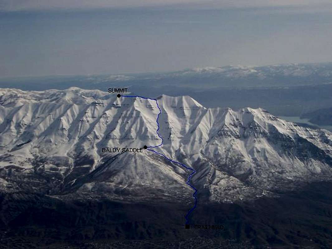
Route Diagram
Approach
From I-15 take the Lindon/1600 North Orem Exit, proceed east and climb gently. As the road begins a gentle turn to the south, look for Skyline Drive and turn north onto Skyline Drive. Continue on Skyline Drive until Dry Canyon Road, a turn to the north again and in a suburb of humongous homes. Follow the paved road to the obvious TH.There is now an asphalt parking area, toilet and trailhead signs.
Route Description
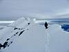
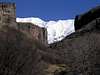
This is one of the best line line on Timpanogos for spring/early summer ascents. In winter it is a suicidal avalanche chute, so don't even think about it. If it is in prime condition, usually May and June, it is a great uninterupted 3500 foot snow climbing chute and one heck of a glassade. Cimb the chute after all the spring avalanches have come down, usually around mid-May in the Wasatch, and before the snow melts in the chute, usually in early or mid July. In early July, some parts of the chute may be melted off detracting from the very long glissade. For winter climbs, see the page for the Spur Variation of this route, and avoide the chute at all cost. Once the snow melts off the SW face, this becomes a hot and dry mountainside, and the east side is more scenic in summer, with the cirques, alpine meadows, and Emerald Lake. Before July this is a spectacular route.From the trailhead, follow the trail up Dry Canyon. The trail should be easy to follow. After a short distance the trail goes through a rock formation sometimes known as the Great Blue Gate. The upper section of the trail is known as the Indian Trail. After three miles you will reach the "Baldy Saddle", at 8332 feet, which is located between Big Baldy and the SW face of Timp. There are good places where you can set up camp for the night, since only the very toughest climbers can ascend this route in a day. Notice the terraces (man-made) contouring the mountain. Contour SE to then along the terrace, crossing the big avalanche chute (aka North Fork Dry Canyon). Climb upp this chute with an ice axe and crampons. This chute is fairly direct up to "Glacier Saddle" and up the SW face of Timp. Follow the steep chute until it fades into the face just below the Glacier Saddle, which is very obvious above. The next section, is the steepest section of the entire route. The summit is reached by following the ridge to the north. Descend the same route, and enjoy the awesome glissade! You will lose 3500 feet of elevation very quickly. Cowabunga!
 |  |