
-
 25326 Hits
-
 81.84% Score
-
 14 Votes
|
|
Mountain/Rock |
|---|---|
|
|
40.46869°N / 112.18363°W |
|
|
Hiking, Mountaineering, Skiing |
|
|
Spring, Summer, Fall, Winter |
|
|
9370 ft / 2856 m |
|
|
The Butterfield Peaks
The Butterfield Peaks are located just west of the Kennecott Mining operation. At about 9,370 feet in elevation, these peaks are around 1,000 feet lower than the surrounding mountains. This lower elevation causes these peaks to have a desert type of topography, much like the Stansburry and House Ranges. These desert characteristics make The Butterfield Peaks unlike any other mountain in the Oquirrh Range. The best time of year for checking out these peaks for yourself is during the summer and fall months. It is during these months that the trail is much easier to find and the wildlife is much more abundent. During the winter and spring all of Butterfield Canyon is closed to vehical traffic and Middle Canyon is only open for the first 2 miles, making the approach much further than it needs to be. The peaks unusual easy access (in the summer), unique desert charateristics, various wildlife critters, and the outstanding views of the Wasatch and Oquirrh Ranges, when all combined, make an excellent excuse to check out The Butterfield Peaks for yourself.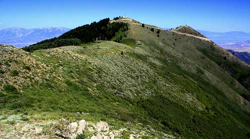 The Butterfield Peaks
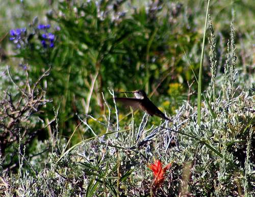 A rare sight...a humming bird on The Butterfield Peaks
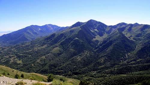 The Butterfield Peaks summit view to the south
 The Butterfield Peaks from Middle Canyon
Getting There
From I-15 get off at the 12300 South Exit. Turn west and follow 12300 South as it becomes 12600 South. Shortly after Bangerter Highway start looking for a street on your left named "Herriman Main Street". Make a left at this intersection. Make a left at this intersection on to Herriman Main Street to reach Butterfield Canyon
After passing some schools and Herriman's version of a main street, continue driving on the same road as it becomes 13100 South. At a 25mph curve in the road look for the unmarked entrance to Butterfield Canyon.
 This is the unmarked entrance to Butterfield Canyon
Much like the Scenic Aspen Grove Loop in American Fork Canyon, this road is very narrow. Although it is paved all the way to the pass, rocks from the side hills cover the road making it appear like a dirt road at times. Watch for mountain bikers, wildlife as well as other vehicals while driving this road. Once at the pass make a left turn into the dirt parking lot. Please respect the slow speed limit on this road way.
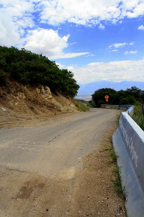 The Butterfield Canyon road
Routes
From the Butterfield Trailhead you will have a choice of three trails. The wide dirt road on the far right is the correct trail. After taking about 10 to 15 steps on this wide road, a trail will appear on your left. Make a left onto this trail. Follow this single track trail as it heads up and across to the north ridge of The Butterfield Peaks. Once at the north ridge the views open up and the trail will continue along side the north ridge in a southerly direction. Just before the main summit of the peaks the trail will bend right into some pine trees. Follow the bend through the pines until you reach the clearing on the other side. From the clearing you should be able to see the main summit to the east. Follow this short west ridge until you reach the top. Troy hiking The Butterfield Peaks
 Troy hiking the final section of the West Ridge
Camping
No camping is allowed in Butterfield Canyon and Tie Fork. These two forks face the Salt Lake Valley. Camping is allowed on the mountain itself, but camping along side the radio towers at the summit is not recommended.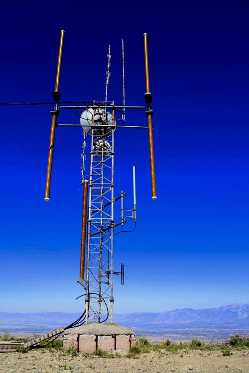 The Butterfield Peak Raido Tower
Red Tape
Approaching this mountain from Yellow Fork Canyon (on the eastern side of the peaks) is considered "Private Property" at about 7,700 feet to the 9,370 summit. Please respect this No Trespassing area and approach these peaks from Butterfield Canyon insted. Troy at the head of Yellow Fork Canyon
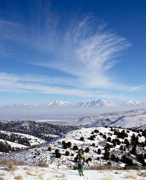 Troy skinning up Yellow Fork Canyon