
|
|
Mountain/Rock |
|---|---|
|
|
40.79520°N / 113.9777°W |
|
|
Tooele |
|
|
Hiking, Scrambling |
|
|
Spring, Fall, Winter |
|
|
6011 ft / 1832 m |
|
|
Overview
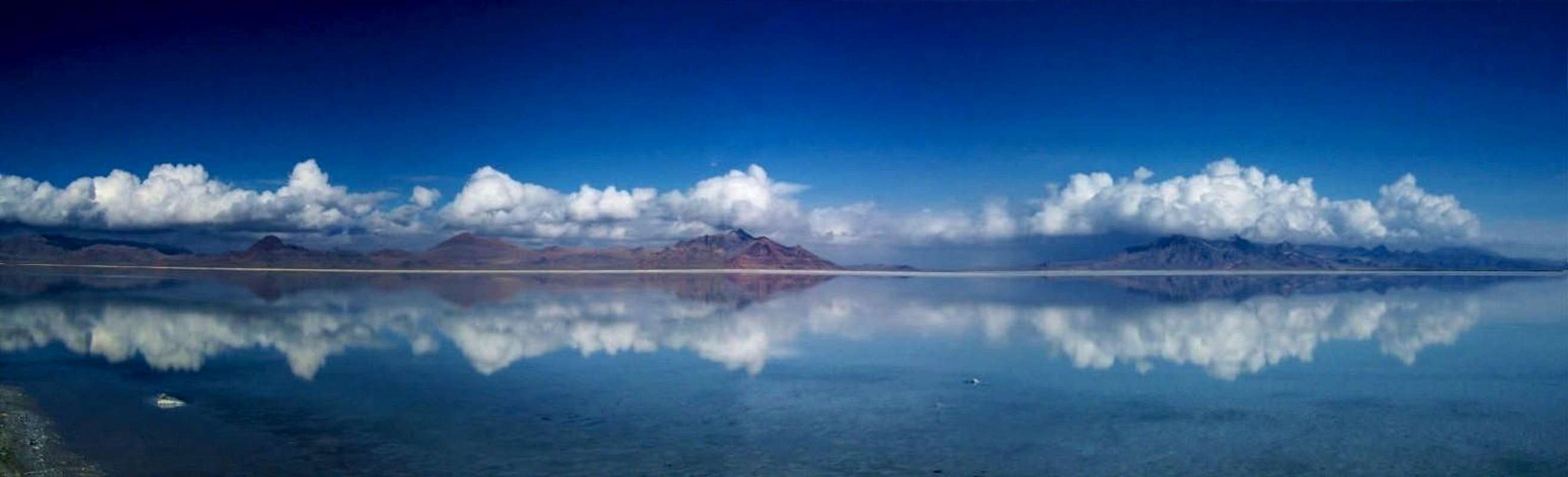
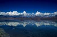
Volcano Peak and the rest of the Silver Island Mountains rise straight out of the Bonneville Salt Flats, one of the flattest places on earth. The peak is easily identified from the interstate as being “volcano” in shape and a dark red color. Volcano Peak is located at the southern tip of the Silver Island Mountains, and 3.5 miles from the Nevada border. At 6011 feet, Volcano is the lowest out of the 8 named summits in the Silver Island Mountain Range. Volcano Peak and the Silver Island Mountains are part of the Silver Island Mountains Wilderness. The Bonneville Speedway, is only a couple miles from the peak and can easily be seen from the top. From near the summit of Volcano Peak, photo by Jeremy Franchow
 View East while going up
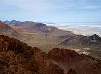 View Northeast from the summit
Feeling lucky and heading to West Wendover? Or perhaps you’re taking a drive on I-80 west towards West Wendover, consider this peak as a nice side objective. With a 10-15 minute excursion from the Interstate, this peak is easily accessed and will take 1-2 hours to hike. Volcano Peak is the easiest out of the 8 summits in the Silver Island Mountain Range. The route to the top is mostly class 2 with one more difficult scrambling section. The route up is also very scenic and interesting with the rugged terrain and small pinnacles on Volcano Peak.
Though Volcano Peak is small, the views from the top are excellent, stretching miles in every direction. Looking north along the Silver Island Mountain range is a geological treat. Rock formations, layers of rock and the different colors of rock are a sharp contrast to the white Bonneville Salt Flats. To the northwest, Pilot Peak, rising over 6000 feet from the flat desert and only 16 miles from the peak.
  The first three are Volcano, Rishel and Tetzlaff Peaks (southern half). The right side of the picture is the northern half is Lamus, Jenkins (first 2 dark spots) and the other named peaks are behind. 3/11/2006 |
Getting There
 Looking East from the Summit
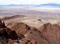 Looking Northwest towards Pilot Peak
From Salt Lake City (122 miles) :
This route does not require 4wd or high clearance to reach the start of the hike.
Head west on I-80 towards West Wendover, NV. Continue for about 117 miles to exit #4, for the Bonneville Speedway. Take a right and continue almost 1.5 miles where the road bends and there is an intersection. Go left, and follow the paved road with eventually turns into dirt. Continue going straight for just over 3 miles where you reach the top of a small hill (Leppy pass) and there is an intersection. Go right and continue ¾ a mile where you will take a right. This road then goes around the small hills then continues upwards. Follow this road for almost 1.5 miles to where it ends and you have a good view of your objective.
When To Climb
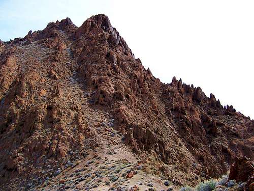 Route up Volcano Peak, surrounded by rugged terrain. Some fun and challenging class 3-4 routes are available
This small peak can be easily hiked year round and is excellent in the winter. Unless there have been recent storms in the area, snow does not stay on this mountain for long. Fall through spring is the best time of the year for this hike. The summer is usually hot with temperatures in the 90’s.
Camping
Throughout the Silver Island Mountain range undeveloped camping is permitted. There are no trees or water in the range, with an exception of a few junipers in the north end.If you’re looking for trees, water and a campground, the closest is Angel Creek campground, near Wells, NV. This campground is 65 miles away and about an hour drive, more information here.
West Wendover, NV has a lot of reasonably prices hotels.
Red Tape & USGS Quads
 Silver Island Mountains from the Interstate
 Fun Scrambling Near the Summit
No permits are required. Please follow wilderness area rules.
USGS Quads
Mountain Conditions
A predicted forecast for the area can be found here.Local weather for West Wendover, NV can be found here.