Many Happy Returns - June 12th
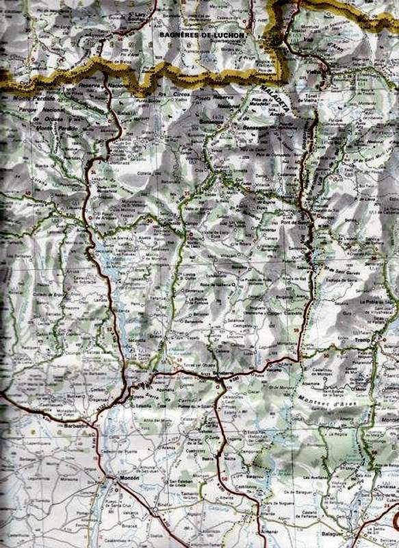
![Map of the trip area]() Map of trip report area from an original by Michelin
Map of trip report area from an original by Michelin
We had arranged to meet on June 12th 2010 at El Prat airport in Barcelona, Ken and his brother Peter were flying in from Liverpool- John Lennon and myself from Stansted.
Miraculously in spite of flight time changes, baggage delays and modifications to the terminals we all arrived within half an hour of each other and met up at the car hire compound.
We probably looked a bit nervous when we were given a Korean Hyundai car and after checking it over we had to get the Hertz guy to fit a radio aerial on the roof. After trying various makes of cars he finally found an aerial to fit the screw threads. Driving down the A2 autopista to
Lleida later that day, we found the missing aerial in the glovebox, so that triggered one of the many laughs we had on our week's vacation. In the event, we found no cause to criticise the car and it adequately contained us and our kit.
![Our hire car waits at La Besurta]() Our hire car waits at La Besurta
Our hire car waits at La Besurta
Although Ken and I are old hands when it comes to visiting
Benasque, it was Peter's first trip to the area, so we chose to take the quicker route through Benabarre and Graus via the A138 and we planned to return via the N260 to Laspaules and El Pont de Suert so that he could see more of the area.
As usual we had big plans regarding the hills we wanted to climb but of course we also needed a good spell of weather to achieve these. Unfortunately the weather proved to be variable so we had to adjust our plans accordingly during the week.
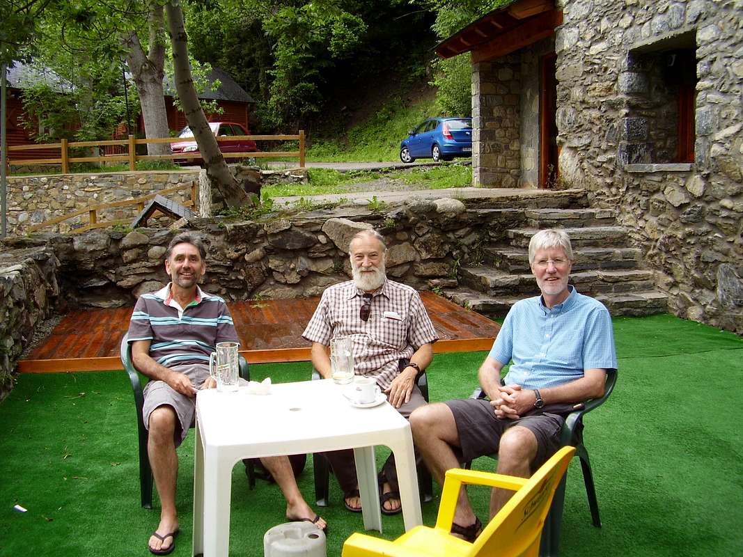
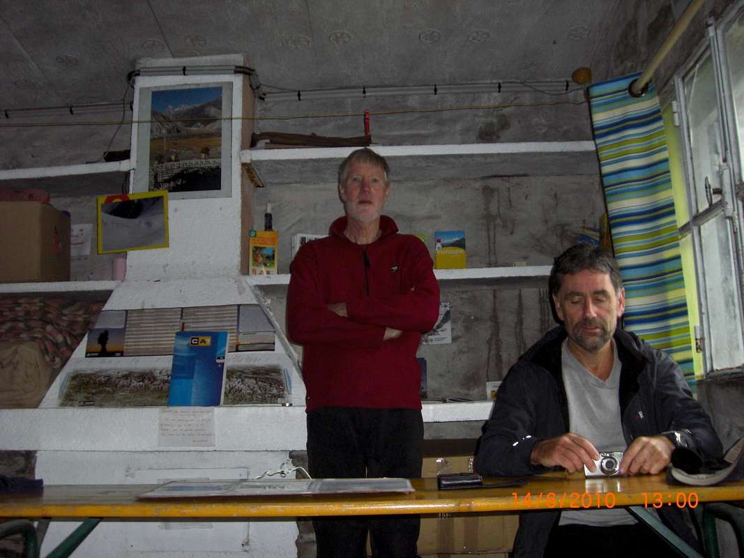
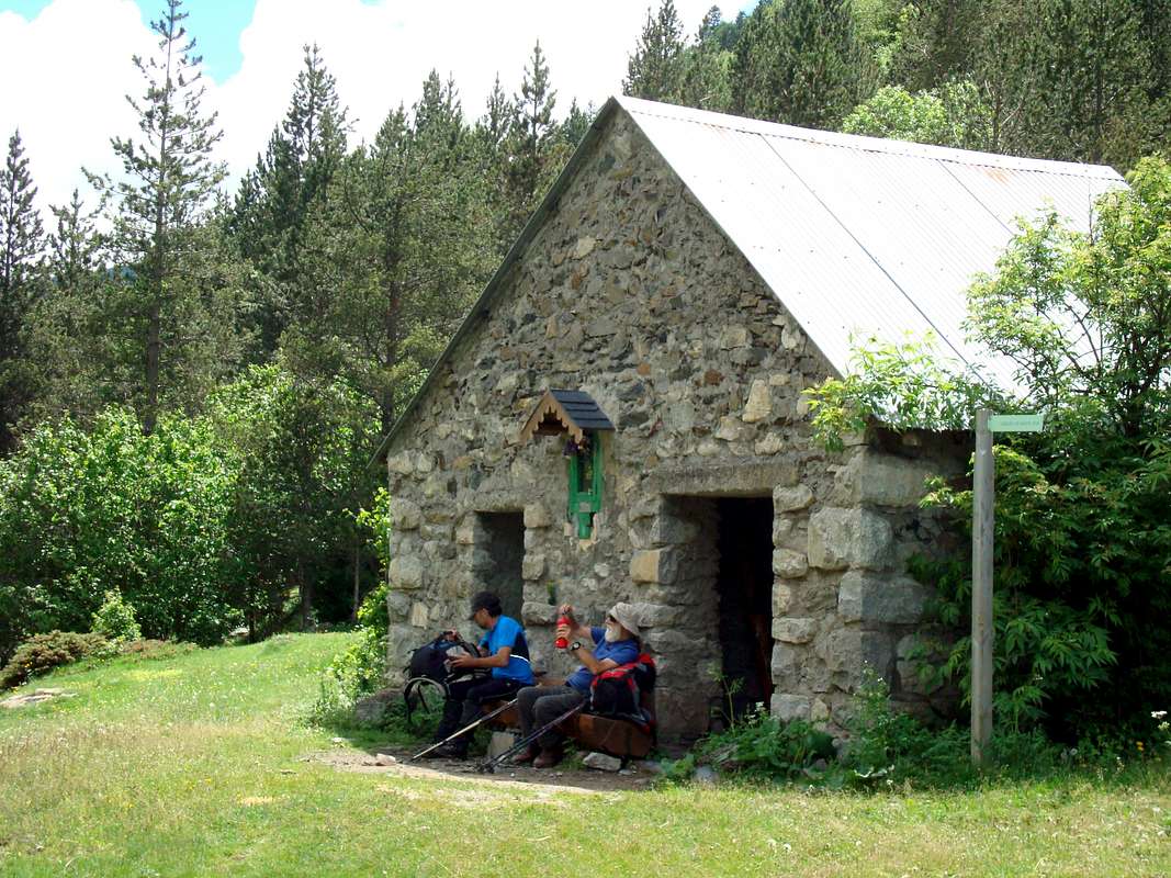
![Relaxing at the refugio]() Arrival at the refugio
Arrival at the refugio
I had 'phoned ahead from the UK and booked our beds in the
refugio of
Camping Aneto in Benasque for the first night. So after arriving, booking in and finding our room we immediately felt at home and a brew of tea was swiftly arranged whilst we sorted out our kit.
Once settled we were off to town to plan our first day over a few
cervezas and a
plato combinado. A quick check on the local weather forecast in the window of the
Benasque mountaineering emporium told us that we should expect rain for the rest of the week. That seemed a bit gloomy but after a few San Miguels we cheered up particularly as we sighted of our familiar
barista in the
Ciria.
-------------------------------------------------------------------------------------------------------------------------------------------------------------
Training day - June 13th
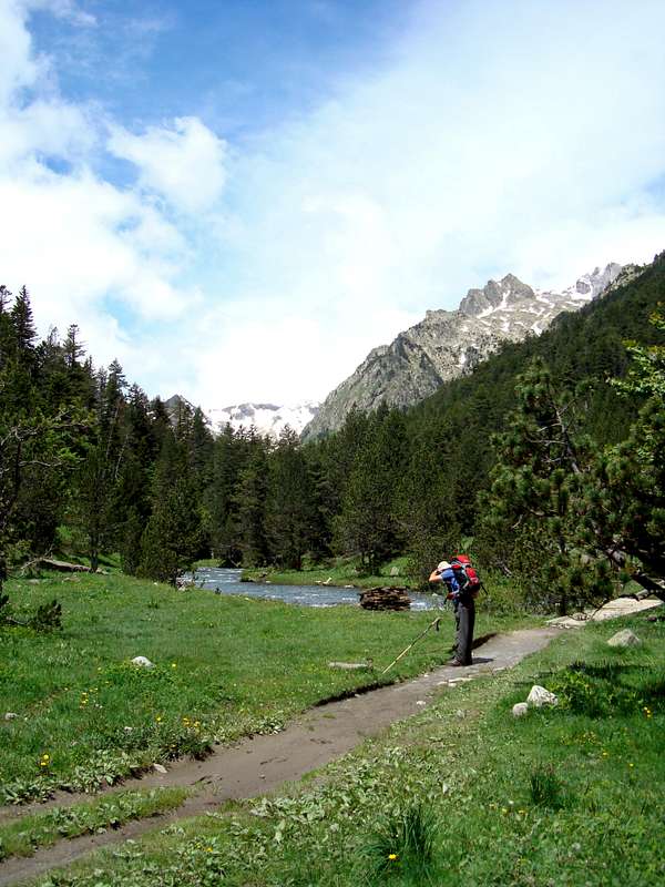
![Johnnie above the Renclusa]() Johnnie heads for the collado
Johnnie heads for the collado
We decided that we should first have a go at a lower altitude climb before we approached any 3000 metre peaks and as Peter had expressed an interest in doing
Aneto we decided to hike up to the
Renclusa refugio and then climb the Pico de Paderna which gives a fine view over to the Portillon ridge, the gateway to Aneto.
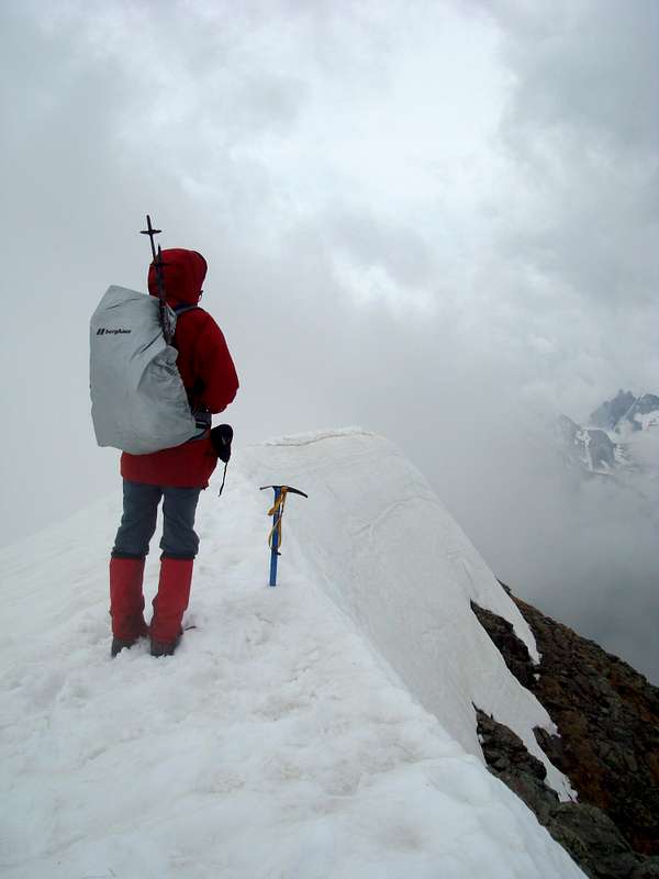
![Pico Paderna 2622m.]() Above the Renclusa refugio is the Pico de Paderna - 2622m.
Above the Renclusa refugio is the Pico de Paderna - 2622m.
The picture on the right shows the impressive lookling pinnacle of the Pico de Paderna on the right hand side with the white coloured Tuca Blanca de Paderna to it's left and further left the black looking tip of
Pico de Alba which is not black at all on closer inspection as Ken and I found out on an
earlier expedition.
The walk up from the
refugio was straight forward, following a well trodden path alongside a small river. We crossed over at one point and were checking out some strange footprints in a waterside snowbank. Although Johnnie suggested they looked like Puma's marks to some sceptical comments from Ken and Peter, it was soon realised that they'd been left by one of the ever present
Marmots. This was confirmed before long when we heard a whistling alarm call and caught sight of a Marmot scuttling under a pile of boulders.
![Spot the Marmot]() Spot the Marmot
Spot the Marmot![Heading for the Collado de Paderna]() Broken rocks below the collado
Broken rocks below the collado
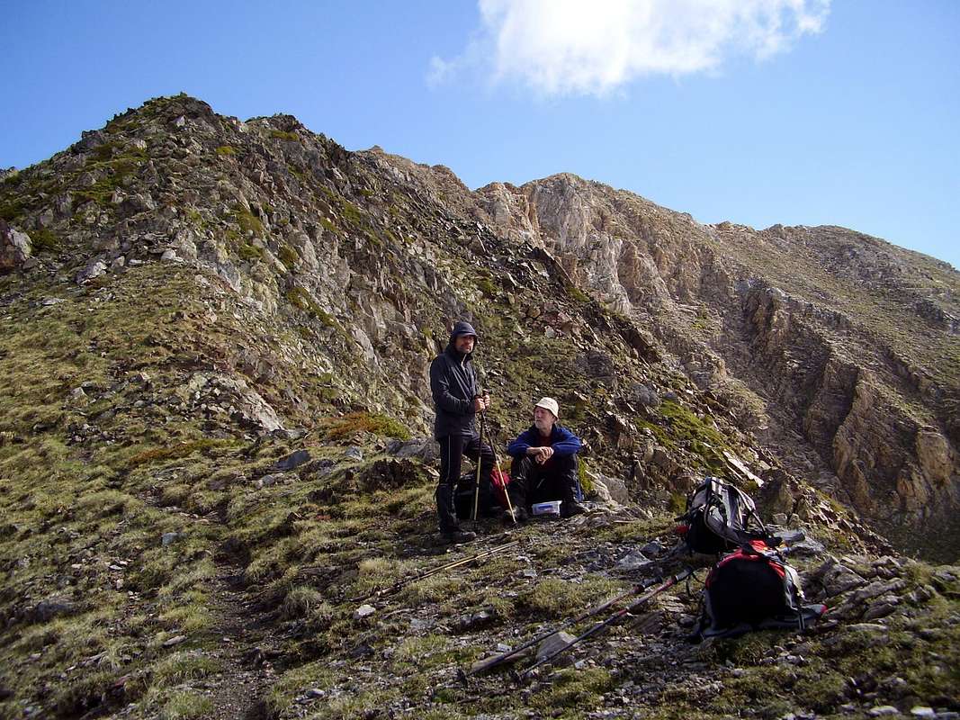
Access to the Paderna is via the Collado de Paderna at 2504m and this is reached over a jumble of boulders and small scree. We (Ken and Johnnie) found it quite energetic on our first day, but Peter being a young man was soon scrambling towards the Collado and anticipating breaking out his lunchpack.
Ken and I eventually reached Peter at the collado
un poco cansado and sat down for a few minutes sucking in oxygen, eating, drinking and admiring in the views.
![Collado de Paderna 2504m.]() Lunch on the Collado de Paderna with the summit of the Pico behind
Lunch on the Collado de Paderna with the summit of the Pico behind
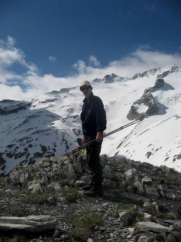
The way forward to the summit of the Paderna was clear, making route finding easy, although in poor visibility it could have been a little more difficult. Luckily for us we were blessed with a fine first day and we had uninterupted views of the Maladeta massive on one side and out across La Besurta in the valley we had ascended from, to the mountains on the French/Spanish border.
![Ken on Paderna]() Ken on Paderna with the Portillon ridge behind him
Ken on Paderna with the Portillon ridge behind him![Pico de Paderna 2622m.]() Johnnie and Peter on the summit of Paderna
Johnnie and Peter on the summit of Paderna
So, after our brief stop on the
collado we made our way up to the top of Paderna and arrived there at 10:20am.
We had had a leisurely start to the day around 6:15am and leaving the car at La Besurta we had walked up to the Renclusa by 7:56, but our anticipated coffee there was not forthcoming unfortunately so we had to be satisfied with water.
As we stood on the summit taking pictures of the splendid scenery and enjoying the experience of being up there, we appreciated the clarity of the air that allowed us a fine view back down to La Besurta and our start point.
![La Besurta from Pico de Paderna]() La besurta from Paderna
La besurta from Paderna
Although reluctant to leave we eventually headed down, arriving back at the Renclusa at 12:28 and after a brief stop at the
refugio we were back down at the car park by 13:40.
Our first day was fairly short, but we had satisfied our need to train our legs for the longer, higher Pyrenean climbs; somewhat more arduous than we are used to in our own home territory.
--------------------------------------------------------------------------------------------------------------------------------------------------------------
Salbaguardia - 2738m. - June 14th
![Border peaks]() Salbaguardia (left) and Pico de la Mina to the right with the gap of the Portillon de Benas between.
Salbaguardia (left) and Pico de la Mina to the right with the gap of the Portillon de Benas between.
As predicted by the local weather forecast, the next day was overcast and threatened with rain so we realised that there was no point in trying for Aneto. Instead we decided to go up to the Portillon de Benas (2445m.) and if the visibility permitted try for the
Salvaguardia.
We parked the car aside the road up to La Besurta (see previous picture) at 8:15am and ascended the flower meadows above until we gained the main trail from the
Hospital de Benasque to the Portillon.
It was a steady trog up the zig zags with occasional flurries of rain so it was 'jackets on' - 'jackets off' for most of the time. As we got higher, we reached a kind of plateau and the rain had turned to sleet and snow. This was driven by a strong breeze and stung our faces as we headed west across the level ground. We were soon back on rising slopes with more zig zags and we eventually reached the snow covered portillon at 10:14am.
![On the zig zags]() Peter and Ken heading up the zig zags from the Plan de Estan
Peter and Ken heading up the zig zags from the Plan de Estan![Portillon de Benas - 2445m.]() At the Portillon
At the Portillon
We rested a while at the Portillon taking on water and food before we decided to try for the summit of Salbaguadia. The visibility was poor and the rain was still falling but we hoped that the weather might improve as we moved higher. The last time Ken and I had tried to reach the summit the visibility was even worse, so this time we had some hopes of a successful outcome.
![Tuca de Salbaguardia 2738m.]() Ken & Peter at the summit
Ken & Peter at the summit
The route to the summit from the Portillon follows a trail until this petered out on sloping slabby ground. It was here that Ken and Johnnie lost their way on the
last visit.
![Tuca de Salbaguardia 2738m.]() Johnnie sees Forcanada
Johnnie sees Forcanada
However with foreknowledge and slightly better visibility we were soon headed up towards the ridge. The ground was loose, snowy, grass covered steps, but after we passed these we arrived at the snow covered ridge. Here the snow was wind-formed into a knife edge with steep drops on either side. After a bit of trepidation we decided which side of the ridge to use and were soon on the summit at 11:43am.
As sometimes happens, as we were looking around us, the clouds cleared occasionally allowing us views of the Maladeta and beyond. Johnnie was particularly pleased to get his first sight of the twin summits of the distant Forcanada (2881m.) which was our target on a
previous expedition. We didn't reach it then due to navigational difficulties in virtual whiteout conditions.
After taking some pictures we returned to the
portillon at 2:45pm and crossed over the border. On the north side of the ridge, the slopes were completely snowed under and after dropping down a short gulley we crossed the snowfield above the frozen
Boms du port towards the refuge of the
CAF below.
![Refuge de Benasque - CAF - 2260m.]() Refuge de Benasque - CAF
Refuge de Benasque - CAF![Crossing into France]() Heading for the refuge
Heading for the refuge
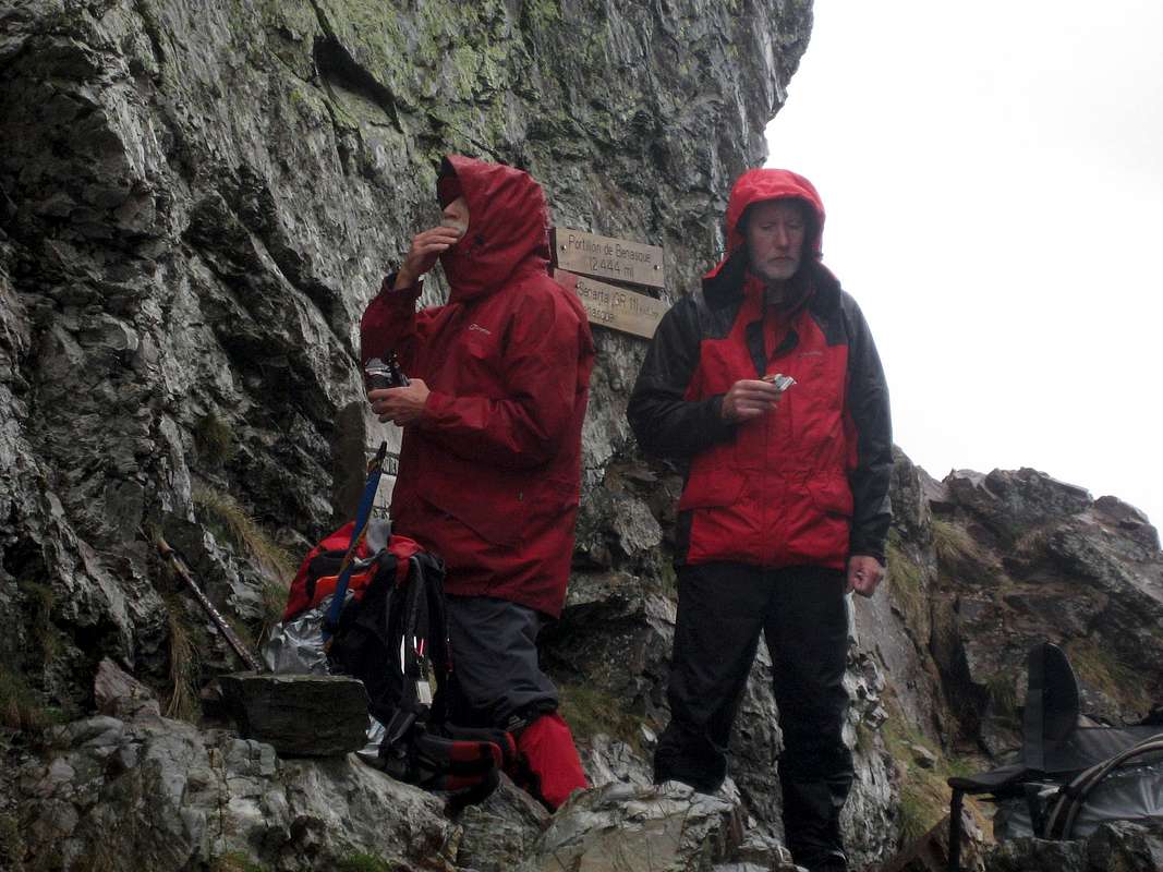
We arrived after about a half hour although the signboard to the refuge (2250m.) at the portillon had predicted 15 minutes. By this time we were saturated by heavy rain and slightly alarmed by rumblings of thunder.
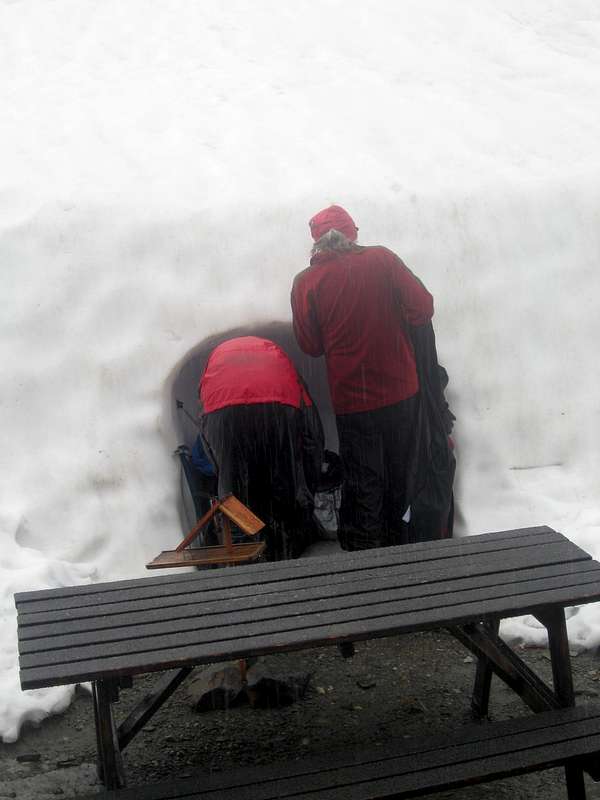
Knocking and opening the door at the refuge we surprised the guardian and his family who were not expecting
visiteurs. Looking at out soggy state he asked us to leave our outer kit in a snow hole outside the door. We duly complied and took shelter in the snug dormitory within.
![CAF cloakroom]() The cloakroom
The cloakroom![Welcome shelter]() Shelter in the refuge
Shelter in the refuge
Unlike the Renclusa we were soon provided with coffee and also omelettes for Peter and Johnnie. The guardians 3 year old daughter was soon introduced to us but in spite of our
bonjours she remained unimpressed.
We had arrived at the refuge at 13:30 and saw no particular rush to go back out in the rain but eventually we realised that we would have to head back to the border. We weren't looking forward to standing in the rain grabbing our gear from the 'cloakroom' and donning the soggy garments.
![Keeping the rain off]() Out of the rain
Out of the rain
Ken and Peter went ahead and lead the change but Johnnie (ever first with native cunning) found a method of keeping dry whilst changing in the rain. Peter of course whilst laughing at the cheek of it managed to record the event.
We soon set off, crossing the border, descending to the Plan d' Estan and driving back to our lodgings at 16:45pm. We had decided to stay on at Camping Aneto as long as the weather stayed unreliable. As we were sorting our gear in the
refugio the rain was still bucketing down.
----------------------------------------------------------------------------------------------------------------------------------------------------------------
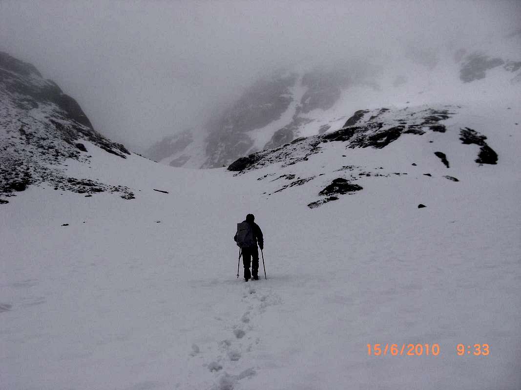
Col de Salenques - 2920m. - June 15th
![Forau des Aigualiuts]() Forau des Aigualiuts
Forau des Aigualiuts
Next day as forecast the weather was still poor so we decided to do a valley 'walk' which in the event turned out to be a hard day. We started at 6:00am, parking in the Besurta at 7:15 and heading through the forests towards the Forau des Aigualiuts.
This is a huge hole in the ground where all the meltwater from the north side of the Maladeta disapperes underground to emerge later several kilometers away in the
Val d'Aran.
Heading past the Forau across the Plan dels Aigualiuts was easy going and we hopped across the rivers feeding the Forau until we arrived in the valley of the Ball de Barrancs.
![New signage]() New signage from the National Park Authorities
New signage from the National Park Authorities
We noticed new signs that we hadn't seen in previous visits although in the case of the one shown there seems to be a conflict in the name shown of the Coll de Toro. On the Alpina map this is shown as Coth deth Horo! perhaps our Spanish friends on Summitpost will clarify this.
As we ascended the steepening valley we encountered some heavy snow in the narrowing defile between the Pic dels Aigualiuts and the slopes of the Maladeta massive.
![Ball de Barancs]() Peter ascends the Ball de Barancs
Peter ascends the Ball de Barancs
We had bit of a debate about navigation during one of our 'breath' breaks, as Ken thought we should have been further north, but looking at the topography and our Alpina map, we were clearly between two substantial tops.
So, we pressed on until we arrived at a kind of snow dome that overlooked a deep snow-filled valley ahead.
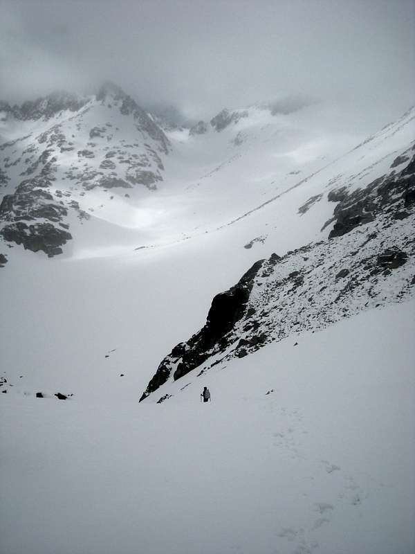
![Below the Coll de les Salenques]() Johnnie descending into the Estany de Barrancs
Johnnie descending into the Estany de Barrancs
We were feeling tired at this point and again we talked about whether we should continue. However the spirit of adventure (and the spirit of peer pressure) overcame the spirit of sloth and we ploughed our way down the slopes into the bottom of the valley where the Estany de Barancs should be in summer.
Although we stepped warily as we thought we were walking over the waters of the Estany under the snow, we crossed the depression without incident. The depth of snow was probably enough for safety and the Estany was in all probability well frozen but it's always well to test with your poles if you feel a drop down is possible.
On the other side of the depression was another steep snow slope, this time leading upwards. Peter led off and was soon in the distance but Ken and I manfully followed his lead.
It was a hard slog up the never-ending slope which seemed to be culminating in a sort of narrow gulley, but this proved to be a 'false summit' and the slope continued forever onwards. Maybe we were now starting to regret deciding to go for our 'easy walk' but on checking my altimeter it showed that the Coll shouldn't be too far above us.
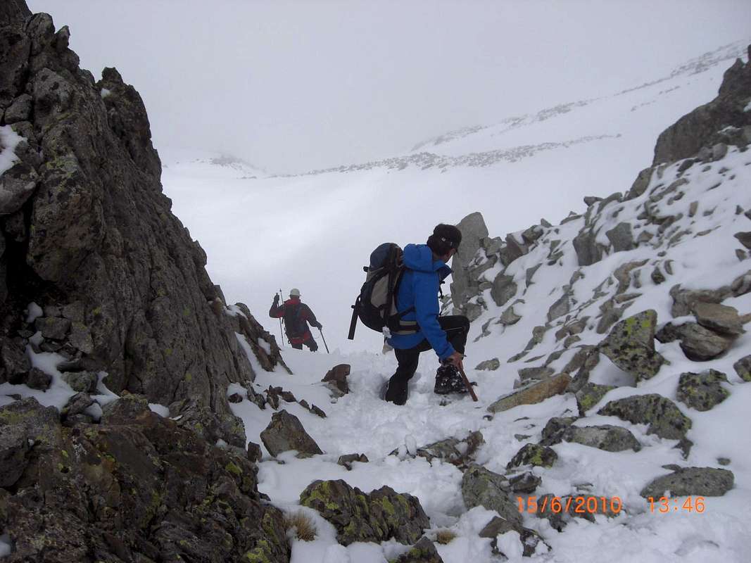
![We made it to the Coll!]() Peter and Johnnie reach the collado
Peter and Johnnie reach the collado
Eventually, led by Peter we arrived at what we supposed was the Collado, at 13:39pm, however, on my Suunto, the altitude was showing 2920m and from experience providing I calibrate it at the start of the day it is always accurate to within 5 metres.
Looking around us, we realised that the actual Collado was some way below us, we had ascended a steeper gulley to it's left. I guess this was perfectly understandable in view of the deep snow covering all traces of trail markings.
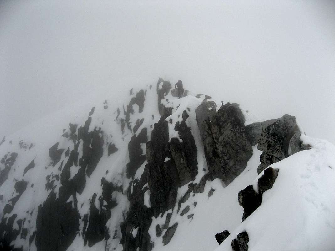
This gulley though had brought us to the foot of the summit rocks of the
Pic de les Salenques only 72 metres higher.
We thought we would have a look at the summit rocks to see if a way up would be possible unroped. So Johnnie and Peter started climbing up a steep wall around the corner from the top of our gulley. Ken was baracking us from below with calls of "it will never go!" and as usual it proved to be the case; he was right.
After about 10 metres of wall climbing we could see the overhanging blocks barring the way to the top so we had to retreat. (looking in
Kev Reynolds guide book back in the valley we found out that the
voie normale was via the col between the Pic de Barrancs and the Salenques, where the ridges coincide into a 'T' shape.
![Johnnie and Peter attempt the Salenques]() Johnnie and Peter attempt a route to the top of the Salenques
Johnnie and Peter attempt a route to the top of the Salenques![Ken and Peter head back down]() Ken and Peter head down
Ken and Peter head down
After the exertions reaching our highest point it seemed shame that we couldn't reach the summit but that gives us an excuse to return in furure years and try it from the conventional direction.
(as if we need an excuse to visit this beautiful area ???)
After a drink and a snack we headed off down the gulley.
By the time we got back to the car at La Besurta we were in sore need of refreshments so we drove down to the Hospital de Benasque arriving at 17:45 pm and we ordered up three pints of Estrella Damm. They hardly touched the sides!
After that we headed back to Camping Aneto where our
refugio welcomed us after a hard 'easy' day.
----------------------------------------------------------------------------------------------------------------------------------------------------------------
Rest day - June 16th
After our 'easy day' trip to Salenques, we decide to do the tourist thing and have a restful drive out to
Ainsa. We stopped in Benasque for a breakfast of our usual
cafe con leche and
bocadillo tortilla and the headed down the road through the impressive gorge towards Ainsa.
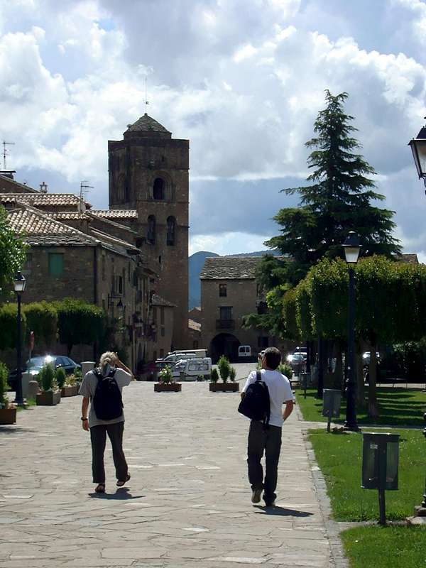
Strangely enough the weather on our rest day was the best so far! isn't that typical?. Anyway we enjoyed our cruise to Ainsa where we strolled around the town and the
Castille renewing acquaintance in Johnnie and Ken's case but it was all new to Peter.
![Ken spots a Red Kite at Ainsa]() Ken spots a Red Kite
Ken spots a Red Kite
On the way there we had seen a few Red Kites soaring high over the foothills and fields around us and we were talking about them with Peter. He said he had never seen one! Strange that, his house is about 35 miles from Gigrin Farm at Rhayader in Wales generally known as 'Red Kite Central'. By strange coincidence I got a text from him shortly after we had returned to the UK. He was on a day out to Aberystwyth and he got his first UK sighting of one.
As we were walking the castle walls of Ainsa, one flew overhead and Ken managed to get a foto of it.
![Ainsa]() Strolling through Ainsa
Strolling through Ainsa
On the way back we stopped at the roadside so that Johnnie could investigate some strange 'balls' he had spotted in pine trees alongside the road. We suspect that they are homes for insects, maybe moths but don't know really. (answers on a postcard please)
![Moth Hostal?]() Unknown Insect abode.
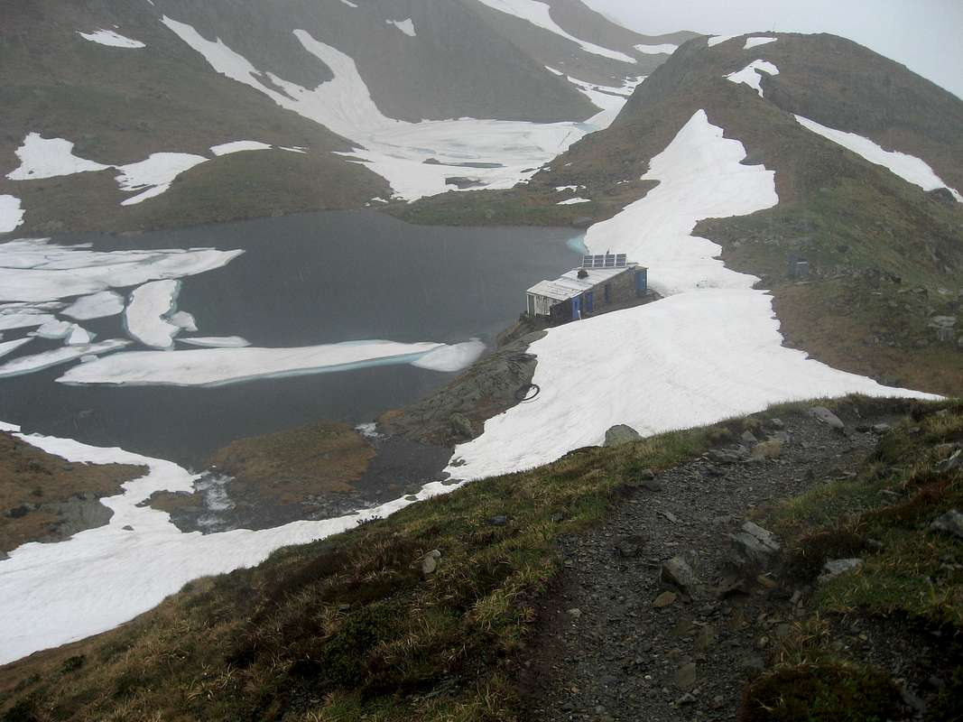
Unknown Insect abode.![Refugio - Camping Aneto - Benasque]() Peter and Ken contemplate the options for tomorrow
Peter and Ken contemplate the options for tomorrow
By the time we got to Benasque we were ready for some
cerveza and
Tapas in the Ciria but we didn't stay there long. We decided to take dinner at the Camping Aneto restaurant as it appeared to be open, unlike it was on previous visits to the site. Ken decided to have a rest before dinner and Johnnie and Peter walked up the Estos valley trail as far at the first
puente and back to build up an appetite. The menu was both
a la carte and
menu del dia so the choices were good. After dinner we watched the World Cup footie on the telly in the bar. Spain were beaten 1 nil by Switzerland so the atmosphere was non-existent and an early night was called for.
---------------------------------------------------------------------------------------------------------------------------------------------------------------
To the Estos refugio - June 17th
The weather forecast the previous night in Benasque said that Thursday was likely to be rainy, so again we stayed where we were and put off our attempt on Aneto to Friday, our last day of the holiday. If we'd had a better prognosis our plan was to go up to the Renclusa
Refugio, stay there overnight and kick off early to head for Aneto.
![Cabana de Santa Anna]() Cabana de Santa Anna
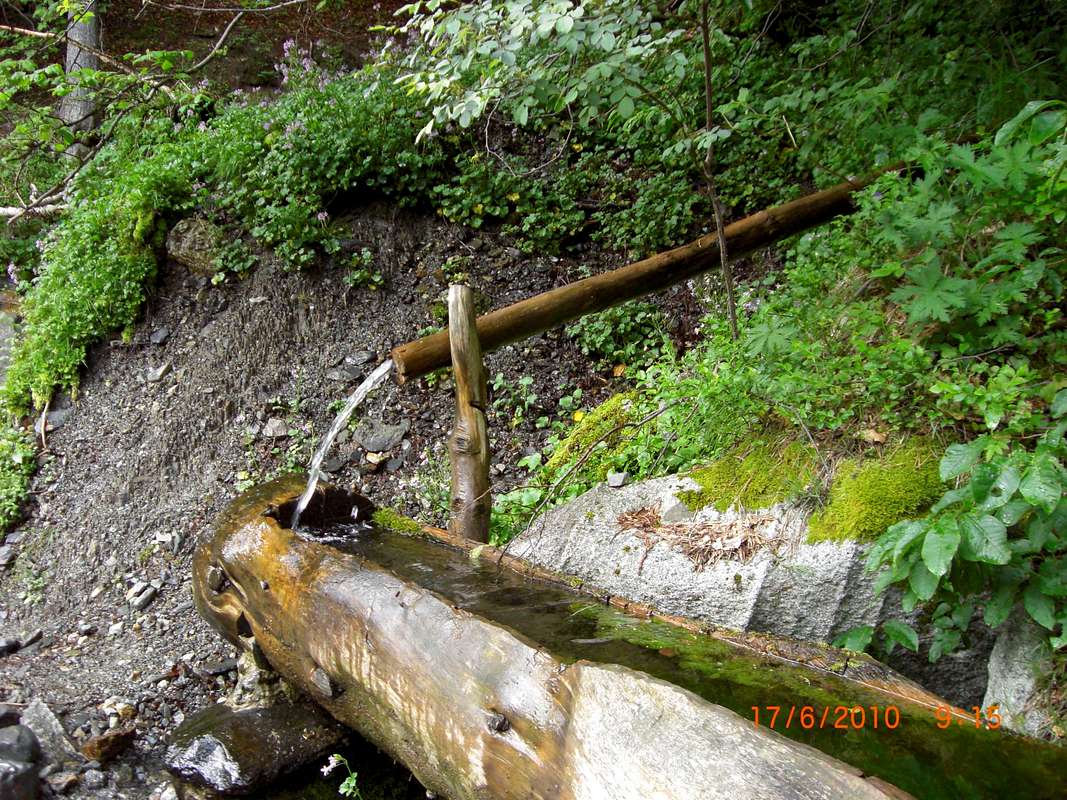
Cabana de Santa Anna![Water for men and horses]() Watering hole on the GR11
Watering hole on the GR11![Cabana del Turmo]() Cabana del Turmo
Cabana del Turmo
So we then decided to stay low and walk up the Estos valley to the Estos
refugio , not a rest day but not too arduous.
We left at 8:38am and strolled up the
GR11 trail. We arrived at the Santa Anna cabin by 9:30 and stayed a while admiring the view.
The next rest stop was at the Cabana del Turmo where we sat on the bench outside getting a sun tan.
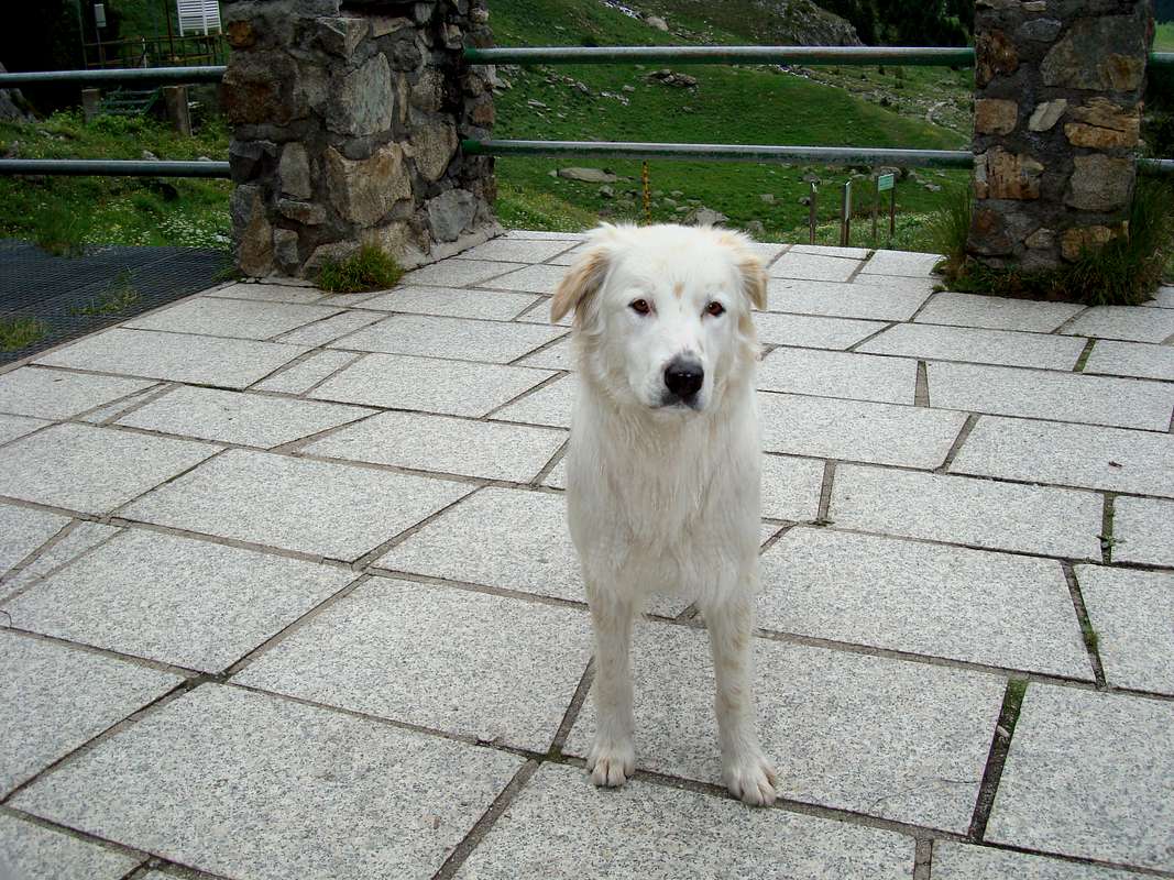
![Hut Dog is friendly]() A doggy welcome
A doggy welcome
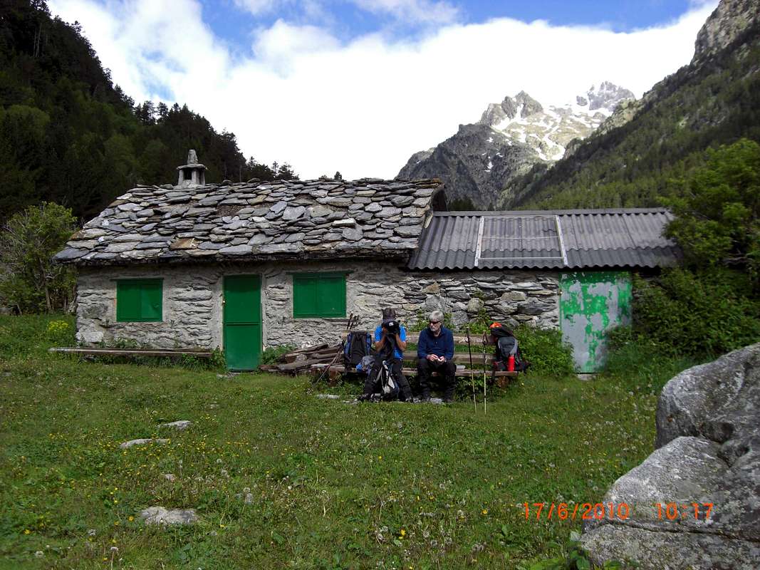
We finally arrived at the
Estos refugio at 11:38, slightly over the nominal time for the trail, but then it was not a race we were just enjoying the hike. The dogs that Johnnie had an argument with last time were not in evidence. Maybe they belonged to Nando who was not there either. Ken seemed particularly taken with the canine attention he was getting.
![Estos Refugio]() Chillin at the Estos refugio
Chillin at the Estos refugio![The Estos Valley]() The Estos Valley
The Estos Valley
We'd packed ourselves a tasty picnic lunch of
bocadillos de jamon y queso and we washed these down with cool drinks from the
refugio.
Lazing there in the sunshine (bad forecast again!!!) for an hour, we were reluctant to move on as it is such a spellbinding spot to be.
Surrounded by forests, flower meadows, mountains and sparkling streams it's pretty close to Nirvana.
But, all good things have to end sometime, so we packed up our kit and headed back down the valley taking our time and just enjoying being there.
We took another 3 hours to get back but as before, why rush?
Arriving back at our hut at 3:20, we tidied ourselves up and headed down to Benasque for some refreshments.
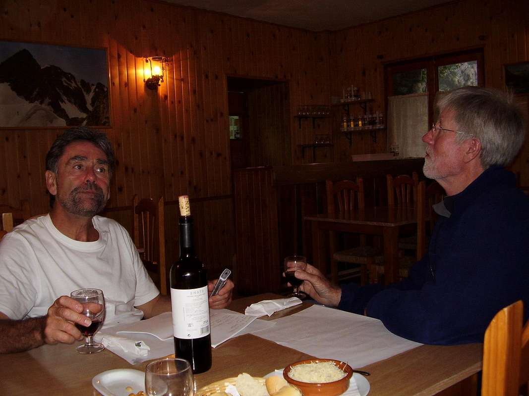
As usual we dined on
platos combinados washed down with draft San Miguels and debated about how we were going to spend our last day. Peter was still keen on doing Aneto although the weather was still a bit unreliable. After a while we all agreed to an alpine start in the morning and to attempt to get up Aneto.
---------------------------------------------------------------------------------------------------------------------------------------------------------------
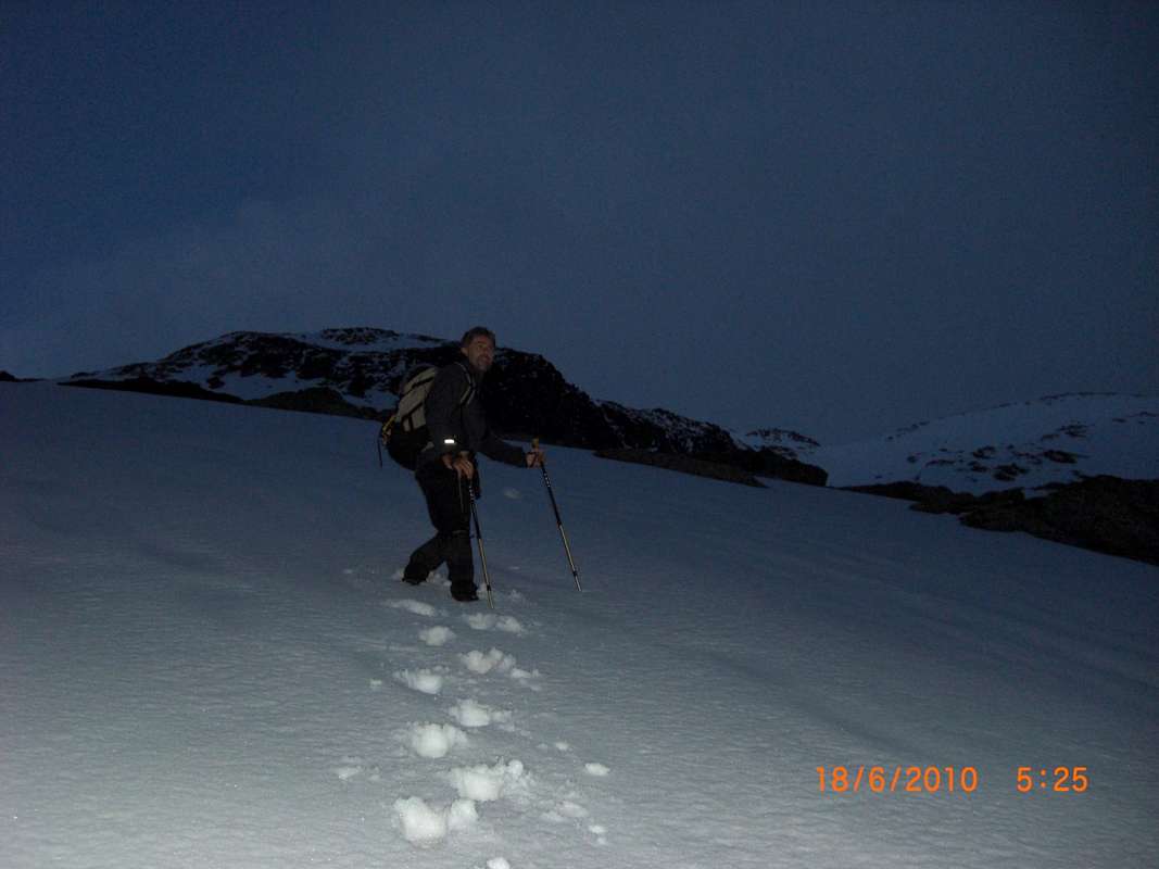
Aneto beckons - June 18th
True to our beery resolutions of the previous evening, we left our refugio at 3:07am and parked the car at La Besurta at 3:42am. By 4:29 we'd reached the Renclusa
refugio and then Ken decided that he wasn't able to go any further. Peter and I did our best to persuade him that he would feel better once he got further up he didn't agree and decided to go back down.
I felt myself in a bit of a dilemma then as Ken and always I tend to stick together. If one goes up so does the other and equally if one decides to leave it, normally we both do. In fact in all the years that I'd been out with Ken I could only remember one other time that we didn't press on together. Also, it was Peter's wish to have a go at
Aneto which Ken and I had done some years before.
In the end I decided to go with Peter and we reluctantly said cheerio, see you later to Ken.
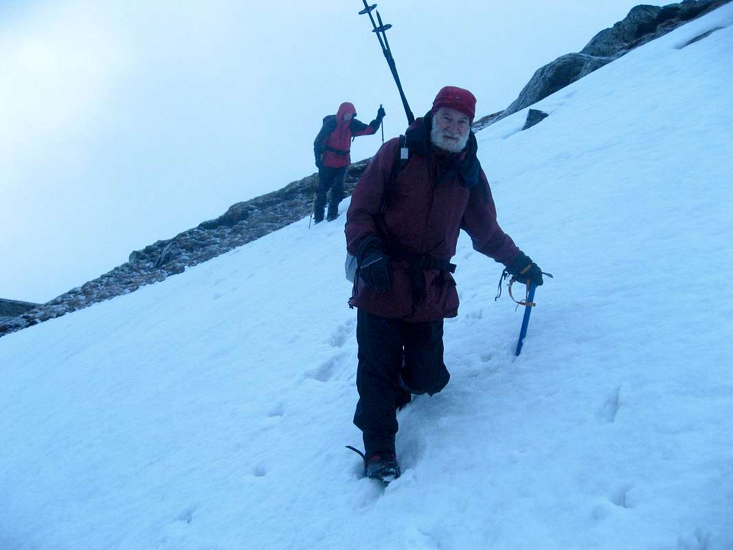
![Peter breaks trail]() Peter breaks trail
Peter breaks trail
We followed the trail past the
refugio keeping left on the opposite side of the slopes to our earlier climb to Paderna. We were soon scrambling over greasy rocks looking for cairns or other signs of the trail. We decided to go straight up the snowfields above and avoid the gulley that Ken and I had previously used and Peter was soon kicking steops up the crisp snow.
We later spotted the green painted weather station over towards the Portillon ridge and so I knew we were just above the Portillon superior. We traversed across some steep snow slopes and arrived at the gap in the ridge at 7:22am.
![Breakfast time at the Portillon]() Taking a break at the Portillon
Taking a break at the Portillon![Peter crosses the glacier]() Peter crosses the glacier towards Aneto
Peter crosses the glacier towards Aneto
We soon set off again and although we seemed to be first up that day, there was that distinct (well remembered) traversing trail leading away from the Portillon towards Aneto, far above.
Initially we just had to cross firm snow and the going was relatively easy but later we encountered a band of rocks that required a bit more care and scrambling skills. Above the rocky band, it was just plodding through snow all the way to the Collado de Coronas. Just before there we were overtaken by another guy, his plodding being slightly faster than ours. Anyway, after the Collado the slopes increased in steepness and I was severely lagging behind. As I've said before, Peter being a young man was much fitter than me and he continued ahead, following the guy who had passed us with me trailing far behind. Eventually we were ascending very close to a steep drop-off which Peter told me later had made him very nervous. I was too knackered to be nervous, I was just planting one foot in front of the other.
![Puente de Mahoma - Aneto]() Puente de Mahoma
Puente de Mahoma
At the top of the scary section we suddenly arrived at the Puente de Mahoma at 10:40 to find it covered with snow. Quite unlike the bare warm rocks that Ken and I found on our earlier ascent.
At this time, a few more guys appeared and they decided to cross the
Puente. Peter who was a bit un-nerved by the exposed last few metres up to the
Puente decided that he was not going to try crossing over and he considered his Aneto ascent complete.
Having done it in fine conditions and knowing how close we were to the summit, I was a bit disappointed but sanity soon asserted itself (retreat and live to fight another day) and we took our summit foto and headed back down.
![On top of Aneto (nearly)]() At the Puente de Mahoma
At the Puente de Mahoma
We crossed the Portillon at 12:36 and got back to join Ken at La Besurta at 14:55. The descent of the snowfields below the Portillon was really hard work. The snow was soft and we kept falling into snow holes and plunging crutch deep mostly elsewhere.
I felt very tired and regretted not sorting out some snow shoes that I had contemplated hiring in Benasque.
I'd strongly recommend their use or alternatively short mountaineering skis
which would make life a lot more pleasant.
Ken had recovered his normal
bonhomie and we were glad to see him in good humour.
Back at the
refugio we felt like celebrating our fun week. On previous nights at the camp restaurant we had been having
Platos Combinados which for us Brits we'd call a 'mixed grill' now for our last night we wanted to push the boat out and have a slap up celebratory dinner. Unfortunately,
El Dueno told us that he had a party of 20 booked in for dinner and could only give us
platos combinados not the full
a la carte. This was a bit depressing at first, but we decided to combine a number of combinado choices into one larger dish, so with an eclectic blend of Cockney/Scouse humour we called this our 'mixed gorilla'. El Dueno checked with the chef and they agreed that we could have our 'special' which comprised of
ternera, lomo, salchichon, huevos fritos, ensalada and patatas fritas for the princely sum of 10 euros. So if you are in that neck of the woods and fancy a big scoff, look out for the Camping Aneto
restaurante special
'mixed gorilla'.
----------------------------------------------------------------------------------------------------------------------------------------------------------------
Heading for home - June 19th
We had reached our last day in Benasque and after a coffee stop at the Ciria and a friendly goodbye from our favourite
barista we sadly drove away, heading back to Barcelona.
![The Maladeta from the south]() Our last view of the Pyrenees for this year
Our last view of the Pyrenees for this year
As planned, we crossed over to the east via the N260 and stopped at Km 376 for a last long lingering view of the Maladeta from the roadside.
Further down the road past Laspaules we felt the need for another boost. Typically the sun was shining down on us and we stopped at a roadside campsite
cafeteria for a
cafe and a
bocadillo.
![A cafe boost]() Ken and Peter get a coffee boost
Ken and Peter get a coffee boost
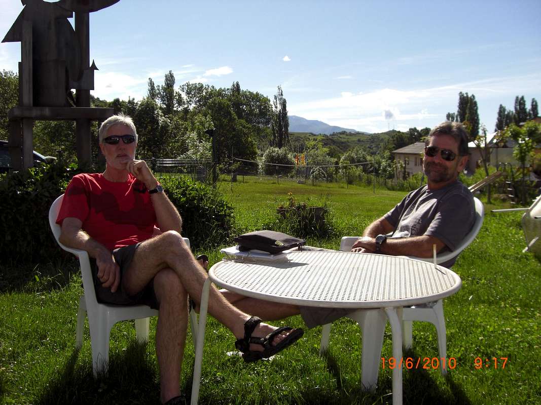
As our flights were both to be in mid-evening we decided to stop in
Sitjes for some Basque
tapas and liquid refreshments before driving the last 20Km to El Prat. We had enough time for a stroll around the town and so we stopped for a
cafe at the
hostal that Ken, Colin and I had stayed in for our last night on our
earlier trip.
We said goodbye at the departure terminal after a few relaxing beers and took our respective flights back home pleased about a very satisfying week in Beautiful Benasque.
Comments
No comments posted yet.