|
|
Mountain/Rock |
|---|---|
|
|
46.16717°N / 11.44861°E |
|
|
Trentino |
|
|
Hiking |
|
|
Spring, Summer, Fall |
|
|
7490 ft / 2283 m |
|
|
Overview
Cima di Valsoléro 2283 m
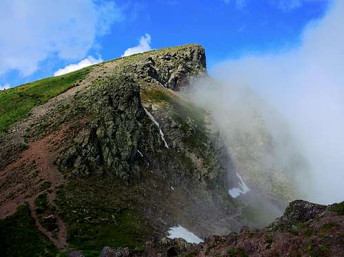
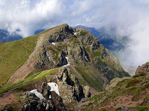
Cima di Valsoléro 2283 m, also named Cima di Valsolaro, is a minor summit situated in the middle of the Lagorai Group, a wide range in the Eastern part of Trentino. Precisely it's situated South-West to Monte Ziolera and overlooking Passo Manghen, a road pass separating the Western Lagorai from the Eastern Lagorai. This road pass connects Val Calamento on the Southern side (Valsugana) with Val Cadino on the Northern side (Val di Fiemme). The road across Passo Manghen is the only high-altitude road crossing the Lagorai chain.
The West and North sides are mainly rocky, while the East slope, along which it rises the Normal route, and the SE ridge are meadows. The summit of Cima di Valsoléro is quickly reached from the Manghen Pass. This ascent, short and with a modest difference in height - about 250 m. if climbed starting from Passo Manghen - can be a valid destination on days with uncertain weather or can be combined with the ascent to the nearby Monte Ziolera, from which Cima Valsolèro is separated by the Forcella del Frate 2230 m. The summit impresses with a beautiful view of the Dolomites. From Cima di Valsoléro there are only about 200 meters up to the summit of Monte Ziolera.
Getting There
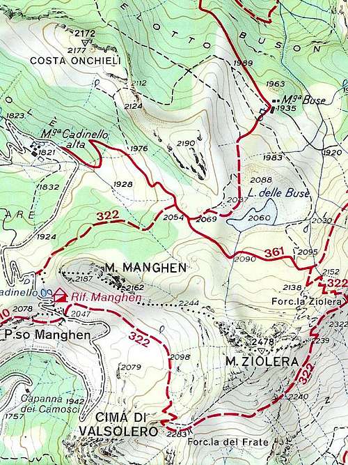
The starting point to climb is Passo Manghen 2047 m
Road access to Passo Manghen
- From Val di Fiemme - From Castello di Fiemme take the SP31 (Passo del Manghen) to the pass (small parking area).
- From Valsugana - From Borgo Valsugana take the SP31 to Passo Manghen.
Normal Route from Passo Manghen
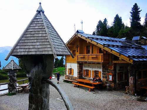
When you reach the Passo Manghen 2047 m leave your car in a small parking area or near the homonymous shelter.
|
|
|
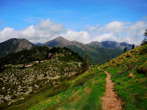
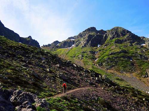
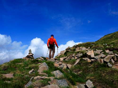
The itinerary starts directly from the pass. The path SAT 322 leaves the asphalt road and heads eastwards slightly uphill. With a wide turn along the right side and some steeper hairpin bends it reachs the Forcella del Frate m. 2228 that divides Monte Ziolera from the small Cima di Valsoléro.
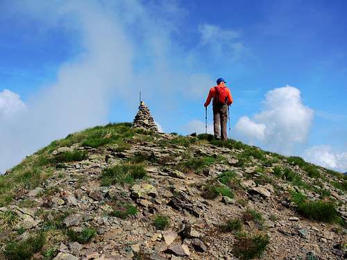
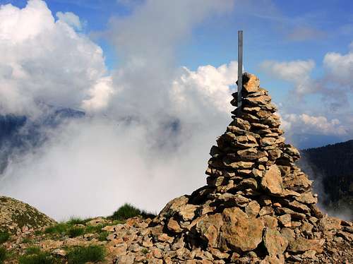
Here you go uphill to the right along the easy slope of pebbles and grass and you will soon reach the small wooden cross of the summit.
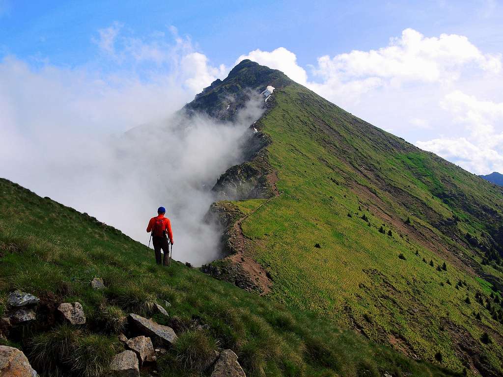
Descent: reversing the same route
Red Tape
No fees no permits required. Anyhow the Lagorai chain is a wild area and require the best care and respect.Please respect the flora and the fauna and do not litter when hiking.
Hiking and scrambling grades of difficulty
T - Turistico (Tourist): Itineraries on wide, clear and well worn paths, sometimes on mule tracks or gravel roads. The routes are never exposed, don't give any orientation problems and don't exceed 2500 meters of altitude. Suitable also for children.
E - Escursionisti (Hikers): Itineraries on marked trails, even narrow and with possible steep and impervious sections. They are never exposed and don't give any orientation problems. They can tread different kinds of ground, such as forests, gravel, meadows, pastures, easy rocks, etc.). They form the majority of the trails that wind up in the mountains and require a certain habit to walk; you need equipment suitable for the altitude and resistant footwear with soles suitable for rough terrain.
EE - Escursionisti Esperti (Experienced Hikers): Itineraries for hikers with experience and good knowledge of the mountain. Some of these paths may have exposed sections, however brief, which require firm foot and no dizziness. They require the ability to adapt to particular terrain, such as steep grassy slopes or stretches of rocks with difficulties that can reach the 1st degree of the UIAA scale. They can also reach high altitudes (3000 m or more). Sometimes they may include unmarked sections, requiring a good sense of orientation. Snow slopes are possible, however which can be overcome without specific mountaineering gear (rope, harness, crampons, ice-axe).
EEA - Escursionisti Esperti con Attrezzatura (Experienced Hikers with equipment - The same as EE, in addition these routes require the use of via ferrata equipment (lanyards, harness, carabiners, heat sink, helmet). This kind of itineraries range from the trails with short easy and not much exposed sections, previously equipped with fixed ropes and iron pegs, to the true and more difficult Via Ferratas climbing on rocky walls or on aerial ridges and ledges, previously equipped with long stretches of iron ropes, iron steps, ladders without which proceeding would constitute a real climbing. It is necessary to know how to use the technical equipment and have a certain habit of exposure and mountaineering terrains.
When to Climb
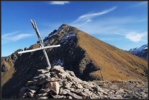
Best season goes from middle May to middle November
Where to stay
Bibliography
Guidebooks
"Lagorai Cima d'Asta" by Mario Corradini - Collana Guide Monti d'Italia, Milano 2006 - a complete and exaustive guide to hiking and climbing paths into the most large wilderness-area of Trentino. Edited by the Touring Club Italiano in collaboration with the Club Alpino Italiano
Maps
Kompass n. 621 - Val Sugana - Cima d'Asta - Val dei Mocheni 1:25000


