
|
|
Mountain/Rock |
|---|---|
|
|
45.83355°N / 11.14992°E |
|
|
6929 ft / 2112 m |
|
|
overview
COL SANTO MOUNTAIN
Col Santo
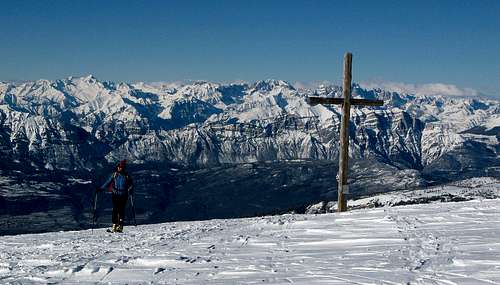
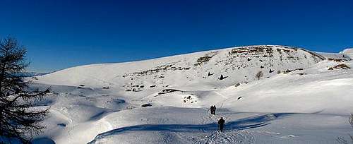
Located north of massive Pasubio, Col Santo rises round over 2,000 metres. From the top, where a big wooden Cross is placed, you can enjoy an excellent view to 360 °.
The summit is easily reachable from Rifugio Lancia, from Malga Valli or from Giazzera through the pazul's prairies with typical huts of rocks.
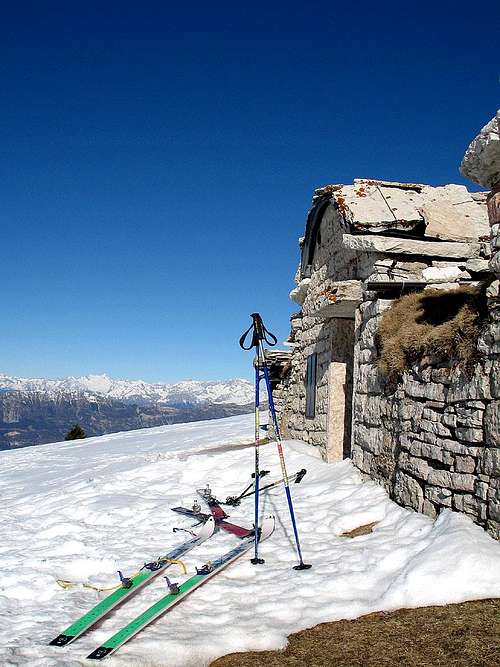
The Col Santo is a particular mountain with its rounded top, it is very popular both in summer and in winter and it's a classic hike and ski tour of this area near Rovereto.
Route
 Col Santo | 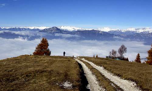 Col Santo | 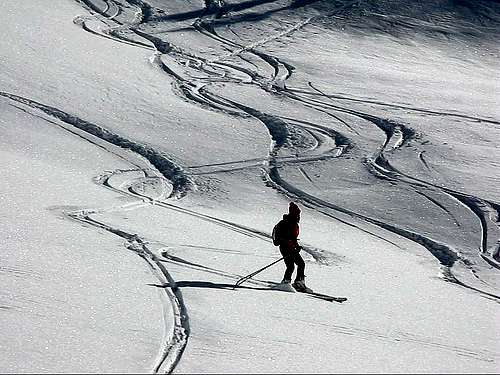 User Profile Image |
The little village of Giazzera is the most important access for the group of Pazul - Col Santo.
Giazzera is reached leaving the SS n° 46 Pasubio after the S. Colombano bridge; 500 meters after the bridge take the road to Trambileno - Boccaldo up to the Giazzera village, park the car and start on foot.
We will walk until path sat Pazul Col Santo 132 found on the left called "trail ull".
At the "baita dei rossi" turn left along the prairie of mount Pazul. , then take the path 131 that leads to the summit of the Col Santo.
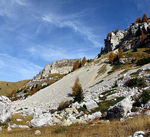
prairies of Alpe Alba
ROUTE 2
The way of huts
Before the Giazzera village take, on the left, the road that leads to Malga Valli. Proceeds to Malga Costoni starting point of a comfortable path 131 that goes along the valley until dos dell'anziana and till the summit of Col Santo.
In 20 minutes you can go to the refuge Lancia.
Red Tape
 Col Santo |  Pasubio- Col Santo Group | 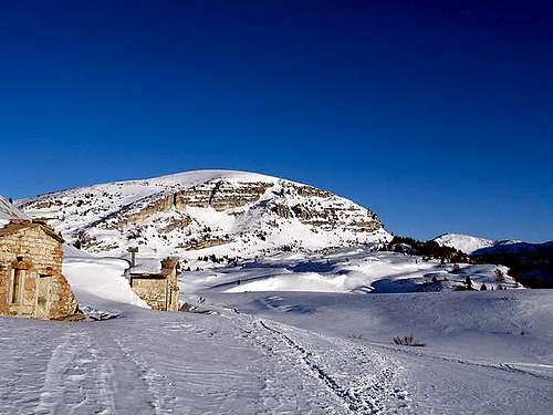 Col Santo 2112m, in the... |
no fees no permits required.
The S.A.T Section of Rovereto from some years, with the support of the Central Organization of the S.A.T., is engaging a battle to have the Pazùl and the Pasubio recognized as a Natural Park. Among its objectives also the closing of the road car to Alpe Pozza
typical hut
Getting There
Car
Vallarsa can easily be reached from north and south on the Brennero state road 12 or the motorway A22, exit at the toll gate of Rovereto Sud, then along the SS46 Pasubio
Train
To the railway station of Rovereto and from there by bus.
Airplane
The nearest airports are Verona Catullo (90 km), Venice Marco Polo (195 km), Milan Linate (245 km) and the new airport in Bolzano (60 km).
Rovereto: from Piazza Podestà drive along the SS. n°46 del Pasubio, this is the natural access to the Vallarsa Valley, then after the S. Colombano bridge go left and take the SP. n° 50 for Trambileno to Giazzera: the start for the excursions.