
|
|
Mountain/Rock |
|---|---|
|
|
46.66667°N / 11.33862°E |
|
|
Bolzano Alto Adige |
|
|
Hiking, Scrambling, Skiing |
|
|
Spring, Summer, Fall, Winter |
|
|
6572 ft / 2003 m |
|
|
Overview
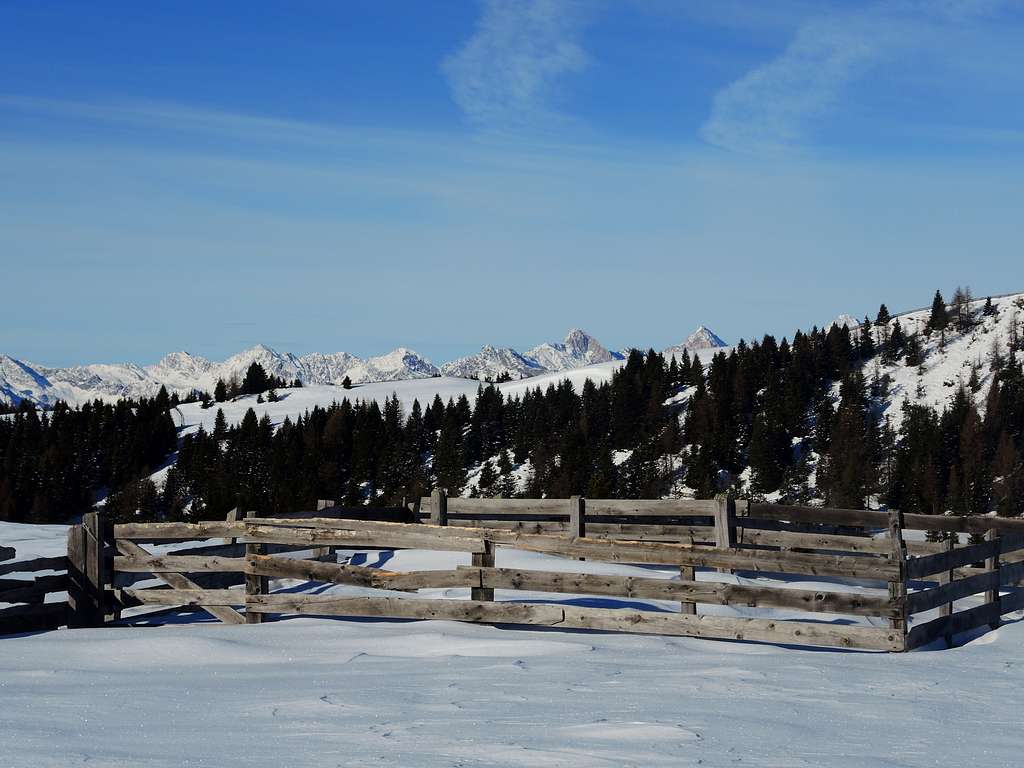
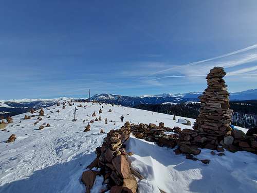
Hohe Reisch / Monte Risco 2003 m
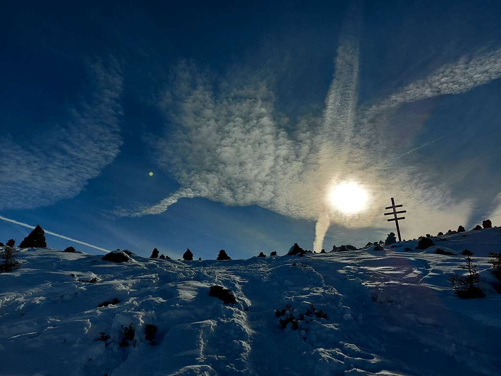
Hohe Reisch is a secluded rocky dome just over 2000 meters high belonging to the Monti Sarentini or Alpi Sarentine group, located on the Western ridge of the Val Sarentino, at a short distance from the large pass between Val Sarentino and Val Passiria called Giogo dei Prati (Auenjoch). This mountain is also called Monte Schöneck. Hohe Reisch upon arrival at the summit surprises you with an indefinite number of conical-shaped figures, big stone cairns which the locals call Stoanerne Manndlin.
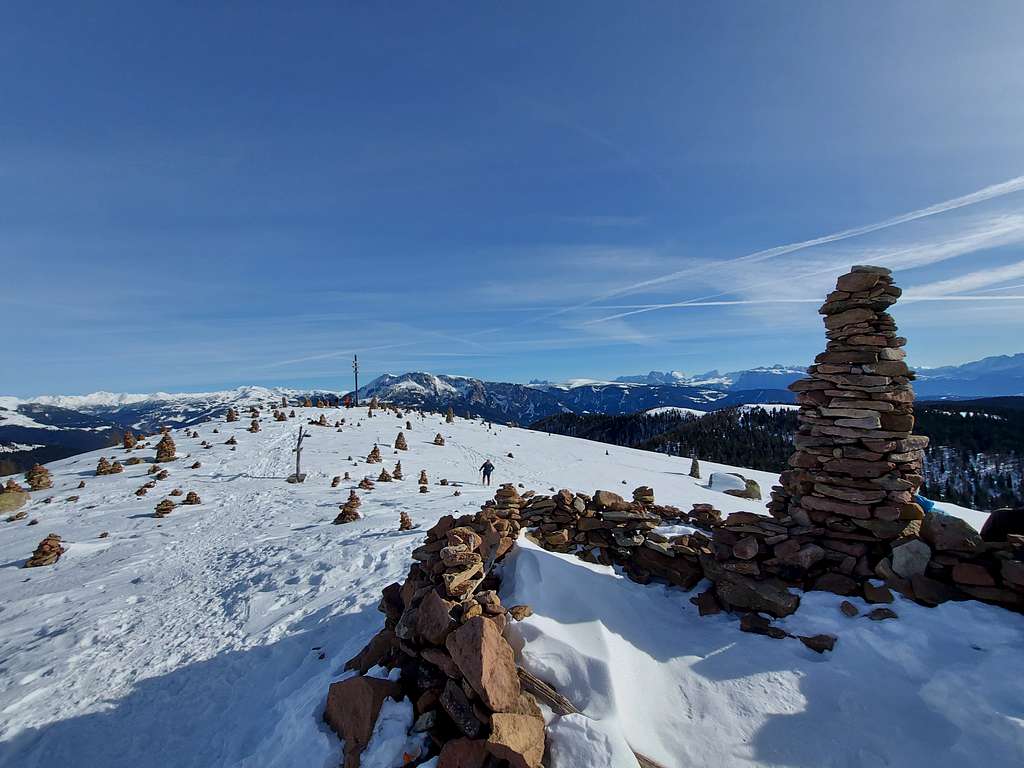
The records of an ancient witchcraft trial attest that these forms have been found here for more than 500 years. The place is incredible and surreal, also because legends of witches and ancient cults hover here. Legend tells of a witch who turned into stones farmers who tried to chase her away with a large cross. According to historical documents dating back to 1540, it was believed that this place was a meeting place for witches and dances and satanic festivals were celebrated here about 500 years ago. Very ancient graffiti in the rocks suggests instead that centuries ago the viewpoint was a place of Celtic worship. In fact other stories say that it was the Celts who made the cairns and made it a place of workship, hundreds of years ago.
This place is truly special and worth a visit. The mystical summit, with hundreds of small pyramids of overlapping stones, can be reached from the Sarner Skihütte refuge (1614 m). The trail is wide and moderately steep, marked with no. 2. Cross the forest up to the Auener Alm 1788 m, then continue slightly uphill through open pastures up to the Giogo dei Prati. From here trail number 4 leads Southward to the magical site with a splendid panoramic view at an altitude of 2,003 m.
Getting There
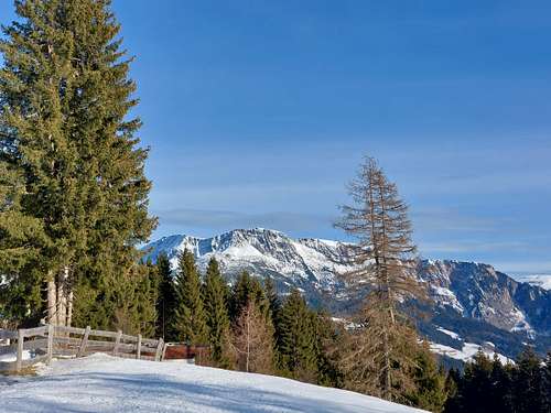
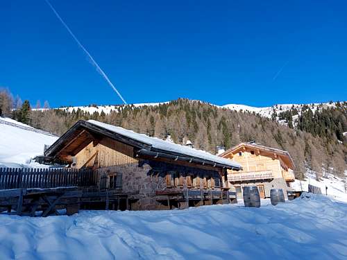
From the A22 highway exit Bolzano Sud and cross the town of Bolzano, following the signposts to Val Sarentino. Once you enter the valley, reach the village of Sarentino and go up by car to the Rifugio Sarentino (Sarner Skihütte), a typical alpine hut located in a magnificent position, immersed in meadows and woods at 1641 m above Sarentino. Wide parking lot. The road is kept open and clear of snow up to the hotel (7 km from Sarentino).
Route
Summit quote: 2003 m
Difficulty: EI
Difference in level: 315 m from Sarner Skihütte
Starting point: Sarner Skihütte 1641 m
On the left of the refuge near a wooden capital it starts a flat forest road which crosses a bridge over the Almbach stream and proceed for about 100 metres. At the end, turn onto a path (n. 2) on the left following the signposts to Auener Alm and ignore the path to Grosser Mittager (Monte Catino) on the right.
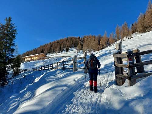
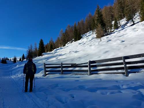
After the first stretch in the woods the trail becomes gradually steeper going up into the woods alongside the stream and reaching the Auener Alm 1798 m.
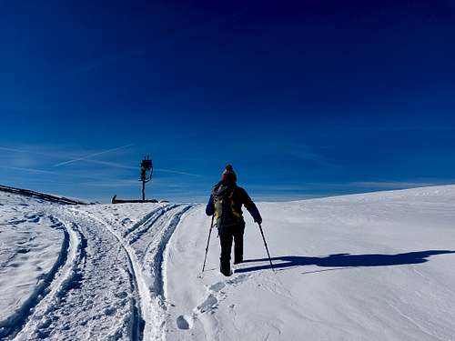
Once past the mountain hut, keep to the right of the stream and continue on more open terrain with a moderate slope in a South-West direction, heading towards the signposts that identify the Auenjoch pass 1924 m.
Having reached the pass at an altitude of 1924 m with a vast and superb panorama, you turn left for an almost flat stretch and start to climb up a hill, finally reaching the summit with a wooden signpost, surrounded by dozens and dozens of cairns!
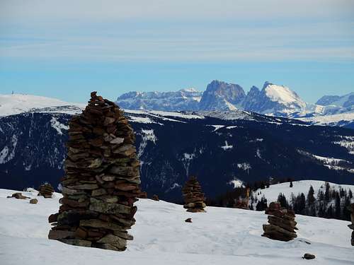
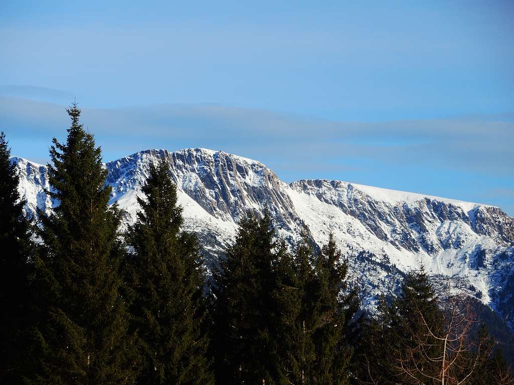
The panorama is broad and in front of us to the East it stands the beautiful Sarner Scharte, the Dolomites with the Sella, Sassolungo and Catinaccio groups.
Descent: reversing the same route
Red Tape
No fees no permits required
When to Climb
All year round
Where to stay
- Sarner Skihutte Rifugio Sarentino is the closer accomodation, otherwise the town of Sarentino offers different other possibilities.
Bibliography
"Zaino in spalla con le racchette da neve" by Fausto Camerini - Ed. Franciacorta
Meteo forecast
The weather conditions could be proofed here: