|
|
Mountain/Rock |
|---|---|
|
|
47.41522°N / 120.9006°W |
|
|
Hiking |
|
|
6510 ft / 1984 m |
|
|
Overview
Iron Peak is another classic Teanaway Region summit. For those not familiar with this region of the Cascades, this section is the dryer eastern side of the Cascades. This region is often where hikers and climbers go when the weather is bad on the other side of the mountains. Whereas the western side of the mountains are home to extremely thick forest, the forest here are much more open and the snow here last for a shorter time than the western counterparts. These peaks are also less crowded than there western counterpart.
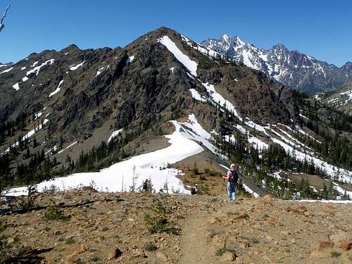
Iron Peak is one of the easier Teanaway Region summit. The peak which has a 2900 foot elevation from either the Beverly Turnpike Trailhead or the De Roux Creek Trailhead and total and completely a YDS Class 1 trip to the summit. The De Roux Creek Side rises up on Trail 1399 and goes all the way to the saddle between Iron peak and Mount Teanaway. The trail gains at a steady moderate pitch until it reaches the saddle. Once in the saddle take the obvious bootpath/trail to the right to the summit of Iron Peak. The Beverly Turnpike side requires you to rise at a gentle to moderate pace up the Beverly Turnpike Trail. About 2 and a quarter miles you will turn left on the Iron Peak Trail. You will follow a number of steeper switchbacks to the saddle where you will turn left on the bootpath to the summit.
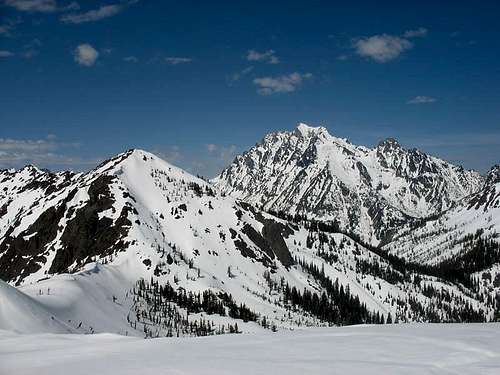
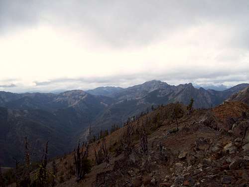
The views here are classic great Teanaway area views. Mt. Stuart and the Enchantment dominate the northern skyline while the to the west lies Emseralda Peak, Koppen, Hawkins, and to the east lies Bean Mountain. If you do hit a clear here you will see Rainier and Adams as well. But even when it is not clear this peak is well worth exploring.
Getting There
FROM THE DE ROUX CREEK CAMPGROUND: Located between the town of Teanaway and Route 97 take Teanaway road north roughly ten miles to just past the 29 Pines camping area on your left. Once just past the 29 Pines camping area merge a left onto National Forest road 9737 and take it up roughly 10 miles all the way to the De Roux Creek Campground. This is officially 4 miles past the Beverly Park Campground. There will be a spur road on your left to the trailhead. It will be in the same area as the campground and very close to the horse stables.FROM VIA THE BEVERLY CREEK TURNPIKE TRAILHEAD: Located between the town of Teanaway and Route 97 take Teanaway road north roughly ten miles to just past the 29 Pines camping area on your left. Once just past the 29 Pines camping area merge a left onto National Forest road 9737 and take it up roughly 4 to just before the Beverly Creek Campground. There will be dirt road on your right just before the creek signed for the Beverly Creek. Take the road roughly one mile to the trailhead: ROad is a little rough but most vehicle can make it to the trailhead.
Red Tape
De Roux Creek Trailhead requires a Northwest Forest Pass. The Beverly Creek Trailhead from what I saw didn't.Camping
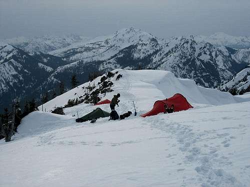
There is a ton of camping in this area. First the De Roux Creek Campground is located at the De Roux Creek trailhead. There is also the Beverly Creek Campground located just 500 yards from the turnoff to the Beverly Creek trail. Also there is a good backcountry camping area close to the junction of Trail 1226 and the Beverly Turnpike Trail.External Links
Check this site for possible trip reports and conditions in the area.Weather Conditions
Here are what the weather conditions would be from nearby Cle Elum. alt="Click for Cle Elum, Washington Forecast" height=60 width=468>


