-
 17016 Hits
-
 81.84% Score
-
 14 Votes
|
|
Mountain/Rock |
|---|---|
|
|
38.68327°N / 119.61178°W |
|
|
Alpine |
|
|
Hiking, Scrambling |
|
|
8980 ft / 2737 m |
|
|
Overview
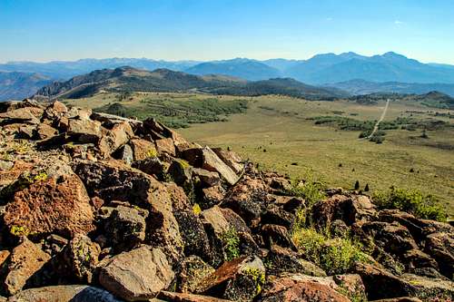
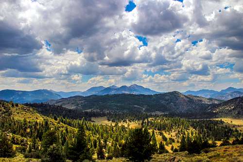
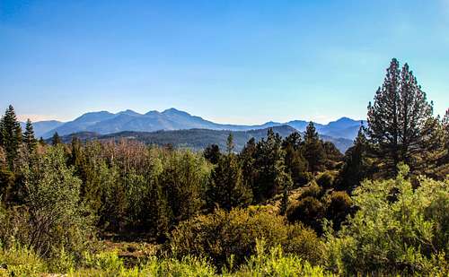
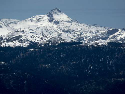
Leviathan Peak is the highest summit directly above Monitor Pass in the northern Sierra Nevada Mountains. The Monitor Pass area is a giant ridge that is really just a foothill of the higher Sierra Crest located about 10 miles to the west. The area is a somewhat vast barren landscape, with some dirt roads leading through the tundra.
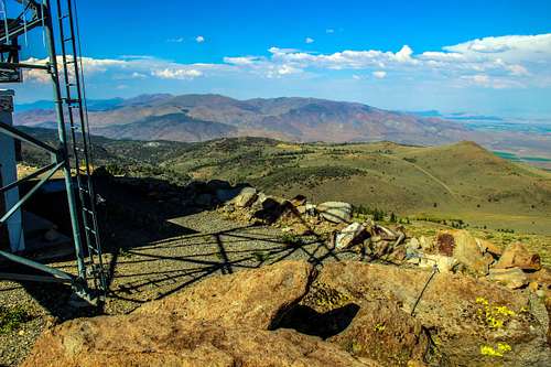
Leviathan Peak itself is a mound of metamorphic rock about a half mile north of Monitor Pass in the northeastern Sierra Nevada Mountains. The summit has transmission facilities and an old abandoned fire lookout.
There is a walk-up road from Highway 89 that leads to the top. This is a quick hike up the road which can be done in a little over an hour round trip. It can easily be combined with nearby summits, particularly Dome 2. For more details on these summits, see the broader Monitor Pass page.
Appreciation is owed to Windsor Riley (aka Noondueler) who created this page, and who passed away in 2016.
Getting There
From the west: From the junction of Hwy. 4 with Hwy. 89, continue east on Hwy. 89 for 8 miles to Monitor Pass.
From the east: From the junction with Hwy. 395 a few miles north of Topaz take Hwy 89 west for 9 miles as it winds up to Monitor Pass.
The road to Leviathan Peak starts about a third of a mile east of Monitor Pass. Locating the road is pretty obvious.
The road to Leviathan Peak is locked and only accessible to service vehicles, but hikers are welcome. It is 1.5 miles to the summit with an elevation gain of 730'. It is pretty straight-forward.
Red Tape
Leviathan Peak is located in Toiyabe National Forest. No permits are required for day hikes. The road is closed in winter, and usually opens by early April.
Weather forecast
For Monitor Pass weather, click here.


