
|
|
Mountain/Rock |
|---|---|
|
|
Hiking |
|
|
Overview
If your looking for one of those out of the way winter trips where the weather might not be too promising or just looking for something new, Mineral Butte might be what you want. Most of the long route up is lacking excitement but a few views and the forest is nice once you reach the loggers highpoint. The summit does have excellent views though and you'll have summated a mountain in a area where few winter hikers explore. If you have climbed this mountain more recently and would like to be the owner of this page, please contact me!
Getting There
Take Highway 2 to Index. Go north on the Index-Galena road. At Galena, turn off and cross the Skykomish River. After the crossing a bit, road 6334 goes left and Galena is right. Go left as far as possible.
 Mineral Butte Map
Temporary Access Problem
Index-Galena Road (FS Road #63) Flood damage waiting for repair keeps this road closed to the general public in motorized vehicles, however, the road is easily traveled on mountain bike. The road is gated just east from Index (elevation 850 feet) where FS #63 is washed out. The best approach to FS #63 is over Jack Pass via Beckler Road (FS #65) to Garlard Mineral Springs, elevation 1650 feet. Garland Mineral Springs is on private property. The near-seven mile stretch between gates on FS #63 is paved, in various states of disrepair. Directions: Drive US Highway 2 to just west of milepost 50 and turn north on Beckler Road (FS #65). Proceed to the junction of FS #65 and FS #63. Go straight on FS #63 and continue 0.7 miles to the gate. Park here, taking care to not block the flow of local residents permitted to enter the area. Skykomish Ranger DistrictLocation: 74920 NE Stevens Pass Hwy. PO Box 305 Skykomish, WA 98288 Phone Number: (360) 677-2414 Driving Directions: US Highway 2 to milepost 50, one mile east of the town of Skykomish.
Camping
There are several forest service campgrounds off the index-galena road beyond the turn-off. Others just find primitive spots around the area.
Route
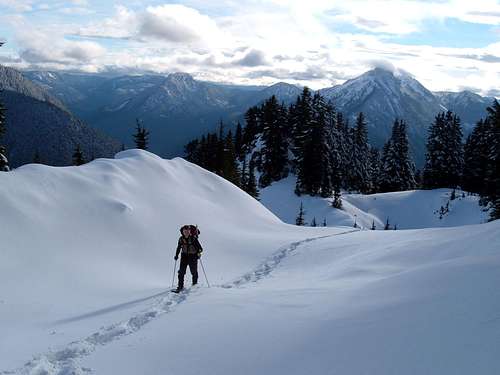
This is the only route people take for Mineral Butte. Depending on the snow level, drive up the road as far as you can. The road does many switchbacks, cut if you can or just go the nice incline. Eventually the road will disappear and so will the clear cuts. Just keep climbing through old growth and natural openings on a broad forested ridge. The last few hundred feet are open slopes that would be risky in bad avalanche conditions.
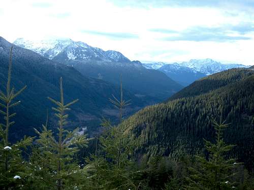
North Fork Skykomish River
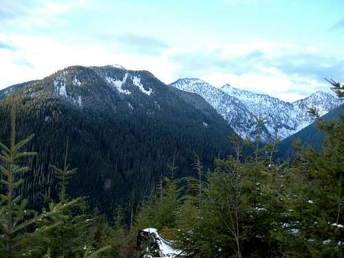
Peak 4040+, 4880+
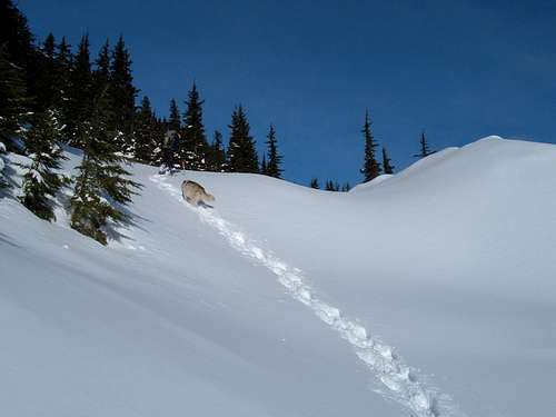
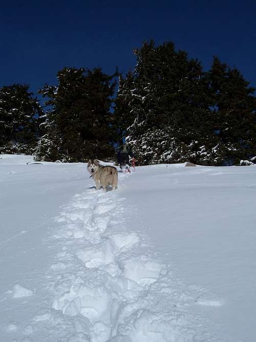
Dog Route
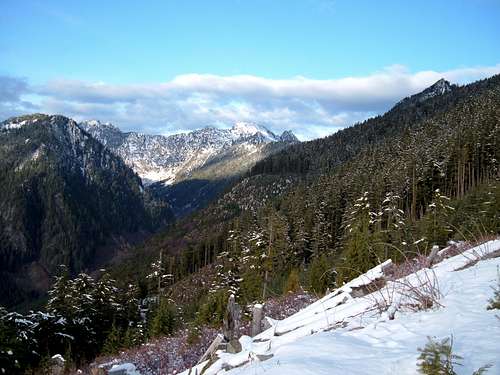
Ragged Ridge
Going Up
Snowshoeing
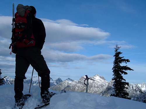
Mineral Butte Summit
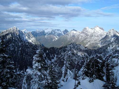
Mineral Butte Summit View North
External Links
Redwic - Aug 19, 2010 11:51 pm - Voted 10/10
One glaring omission from this page!You might want to mention where the Index-Galena Road (Forest Road 63) is currently closed due to a *major* washout, and will be for at least a few more years. Getting to the old Galena site would currently require a lot of hiking/road-walking and/or biking. You might want to mention how much of that.
ridgeguy - Aug 20, 2010 12:33 am - Hasn't voted
Re: One glaring omission from this page!Thanks