
|
|
Mountain/Rock |
|---|---|
|
|
33.50954°N / 111.60406°W |
|
|
Maricopa |
|
|
Hiking |
|
|
Spring, Fall, Winter |
|
|
2809 ft / 856 m |
|
|
Overview
EJ Peak is one of the most accessible summits on the east side of Phoenix. It is located less than 30 miles from downtown Phoenix and it is closest to the city of Mesa. It is located in the popular Usery Pass area.
 EJ Peak seen from the descent of the trail to Usery Pass Benchmark
While overshadowed by its neighbor, Pass Mountain 3,312’, EJ Peak is actually quite a nice hike. It’s short and steep; and provides adequate time should you wish to also hike Pass Mountain, or nearby Usery Pass Benchmark 2,972'.
On topographic maps, EJ Peak is referred to as Lone Mountain. Yet, locals call it EJ Peak, and there is a bench on the summit that says it is EJ Peak. The summit bench also claims the mountain is 2,787’, while topographic maps put it at 2,809’. Regardless of which is right, this is a worthwhile destination. The views are excellent, with the Goldfield Mountains in the background, and desert peaks as far as the eye can see. There are also views to the valleys and all the surrounding population.
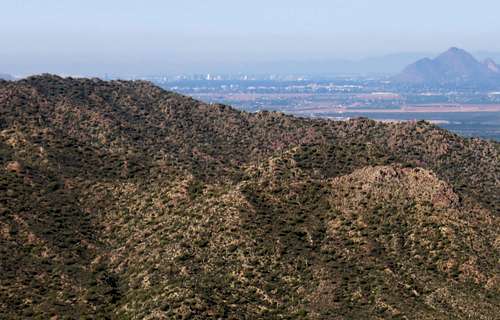 Phoenix from EJ Peak
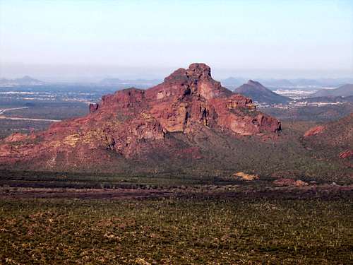 McDowell Peak (aka Red Mountain) seen from EJ Peak
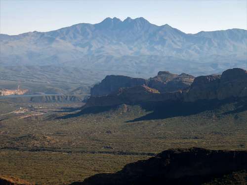 Brown's Peaks from EJ Peak
As with most lower elevation Arizona mountains, the best time to hike here is between November and March; in order to avoid the heat and the critters.
Getting There
From Phoenix take Hwy 60 to Ellsworth Road. Turn north on Ellsworth Road which turns into Usery Pass Road. From further north you can take the 202 to McKellips Road. From North Scottsdale, take Shea to 87 and then take the Bush Highway.
Once on Usery Pass Road, the trailhead is about 3 miles north of the junction with McDowell Road. Park at the Bulldog Canyon Off Highway Area parking. There is space for about 20-25 cars.
Route
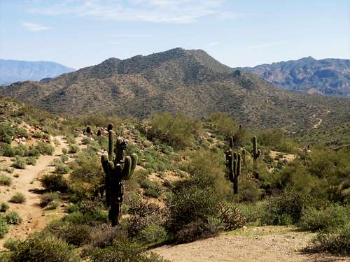
The summit trail starts about 250 yards from the parking area. There is no trail sign. Get off the main road, which juts off to the right. The trail goes up the hill. The summit is reached after about 1.2 miles from the parking area, gaining about 770’.
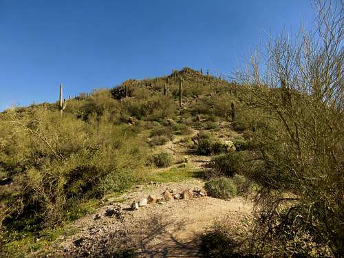 Looking up the trail among all the cactus
Red Tape
There is no red tape and no fees to hike EJ Peak. Just park at the trailhead and start walking.