
-
 393 Hits
-
 77.48% Score
-
 8 Votes
|
|
Mountain/Rock |
|---|---|
|
|
46.92471°N / 13.88308°E |
|
|
6243 ft / 1903 m |
|
|
Topographic isolation: 600 m
Nearest higher peak: Schoberriegel (2208 m)
Prominence: 58 m
Overview
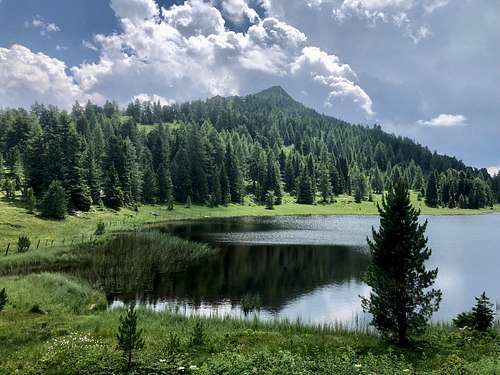
Turracher Höhe is a popular road pass in the Gurktal Alps, with its beautiful lake called Turrachsee, and with the ski resort around. The lake is surrounded with three popular mountains: Kornock to the west, Schoberriegel to the southeast and Sölleneck to the northeast. Thanks for Vid, Kornock and Schoberriegel already have their pages on Summitpost. This page that you see here is about the third mountain: Sölleneck.
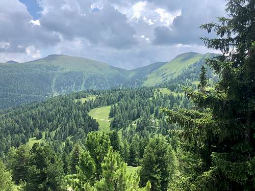
The peak of the mountain is 140 meter above the surface level of Turrachsee. Sölleneck is an integral part of the Turracher Höhe Ski resort, with ski runs criss-crossing the slopes, and with ski lifts coming from the valleys. This 140 meter altitude difference wouldn’t explain how the mountain can be suitable for skiing. But the slopes down to the valleys in the north are much longer. The hut Georg’s Einkehr – at the confluence of Vorderer Seebach and Hinterer Seebach – is at 1400 meter above see level. The hut is the lower station of a ski lift that spans 500 meter altitude difference.
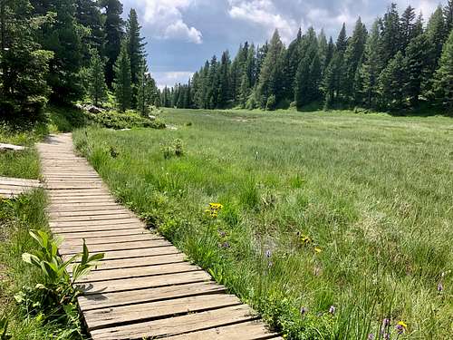
Sölleneck is popular not only for skiing but also for hiking. Its most important hiking trail is the „Turracher 3-See-Weg”. The trail links the three lakes of Turracher Höhe: the already mentioned Turrachsee, Grünsee (’Green Lake’) to its south, and Schwarzsee (’Black Lake’). Schwarzsee can be found in the saddle that separates Sölleneck from its higher neighbour Schoberriegel. The trail of the 3 lakes is a 7.5 km long family-friendly trail. The most attractive section of the trail is a woodboard walkway above the moor near the peak of Sölleneck.
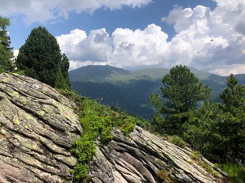
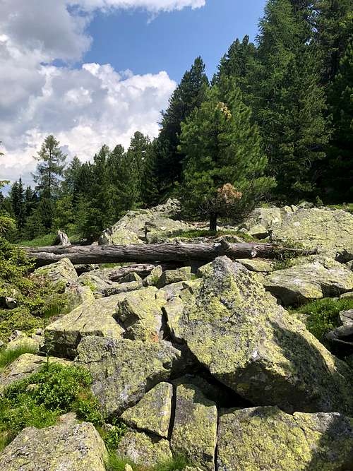
The peak itself is not particularly interesting. Though there is a nice rock outcrop there, and view to the peaks of Eisenhut (2441 m) and Kaserhöhe (2318 m), no marked trail leads to the peak itself, and so most hikers bypass it by a mere 100 meter distance.
Getting There
The most evident approach is from Turracher Höhe, from one of the several parking places near Turrachsee. How to get to Turracher Höhe – you can find it easily on any online map or navigator.
Flora
The mountain has the tipical flora of the Eastern Alps. Here are some species that I found there in July:
- Ragged-robin (Lychnis flos-cuculi)
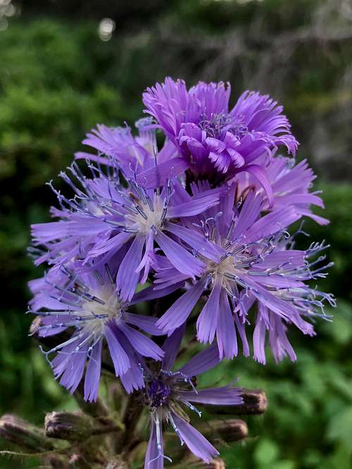
- Alpine blue-sow-thistle (Cicerbita alpina)
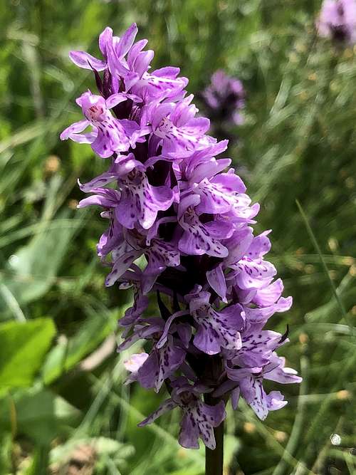
- Heath spotted-orchid (Dactylorhiza maculata)
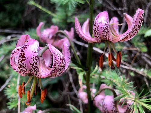
- Martagon lily (Lilium martagon)
- Large-leaved lupine (Lupinus polyphyllus)
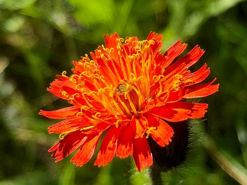
- Fox-and-cubs (Hieracium aurantiacum)
- European columbine (Aquilegia vulgaris)
Red Tape
There are fences for cattles here and there
When to Climb
In any season
Map
For a good online map of the area you can click here