
|
|
Route |
|---|---|
|
|
37.17055°N / 113.08138°W |
|
|
Hiking |
|
|
Spring, Fall, Winter |
|
|
Most of a day |
|
|
Hike |
|
|
Overview
 Map Map |
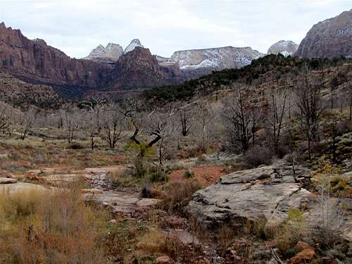
Coalpits Wash is a small stream that originates in the highlands of Zion National Park near the 7300 ft mountain known as The Bishopric. It then heads south and eventually empties into the Virgin River at a spot a few miles to the west of the town of Rockville. The lower parts of Coalpits Wash Canyon have been traditionally used for an 11.2 mile roundtrip day hike. The hike starts at an elevation of 3650 ft in a desert environment. As you hike north along the banks of the stream, you will go through a small canyon and eventually find yourself in a mixed forest of deciduous and coniferous trees among the rugged slick rock mountains of Zion National Park. The usual end point for the day hike is a spot at an elevation of 4320 ft where you will find the decaying ruins of an old oil well (the wash continues many more miles into the mountains to end on the slopes of the Bishopric).
Getting There
From the south entrance of Zion National Park (in Springdale, Utah), drive 7.3 miles west on Route 9 to a dirt pullout on Route 9. You will likely see a sign for Coalpits Wash on the road. Park in the dirt area by the road.
Route Description
Trailhead Coordinates: 37 Deg 10.233 Min North
……………………………….......113.Deg 04.883 Min West
Round Trip Distance: 11.2 miles
All distances are per my GPS
You will start your hike on the east side of the Coalpits Wash. From the parking area, follow a dirt road a very short distance north. Find the gate that goes through the barbed wire marking the park boundary, go through the gate and enter the park. You will find yourself in a wide valley covered by desert bushes. A few cottonwood trees can be seen on the banks of the wash and the Smithsonian Butte can be seen behind to the south.
 Smithsonian Butte Smithsonian Butte |
|
 Wide Valley Wide Valley |
 Wide Valley Wide Valley |
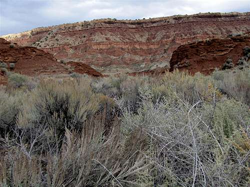
You will find a trail on the east side of the wash. Follow it north among the desert shrubs. You will note many colorful slopes around you that give the area the nickname: “The Painted Desert”.
 Painted Desert Painted Desert |
 Painted Desert Painted Desert |
 Painted Desert Painted Desert |
 Painted Desert Painted Desert |
||
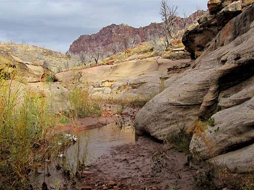
After 1.9 miles of easy hiking, you will reach a major split in the valley. Right goes to Scoggins Wash. Take the left fork and enter a small canyon. You will not find an established trail here and will have to bushwhack your way up the canyon. The bushwhacking is not hard but will slow you down.
 |
 |
 |
 |
||
 |
 |
 |
 |
||
 |
 |
 |
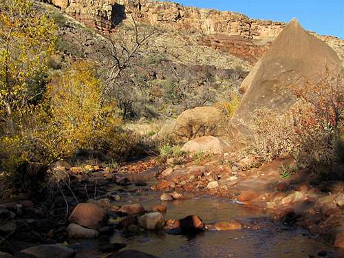
You will eventually reach an area of “Narrows” where you will have to walk in the shallow stream (In the warmer months, the streambed might be dry). To avoid the mud, in one spot, we chose to climb out of the narrows onto the slopes above.
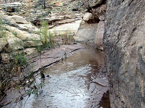 The Narrows The Narrows |
||
 The Narrows The Narrows |
 The Narrows The Narrows |
 The Narrows The Narrows |
 The Narrows The Narrows |
||
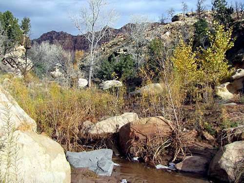
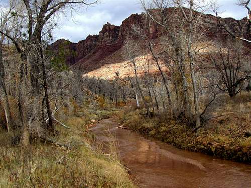
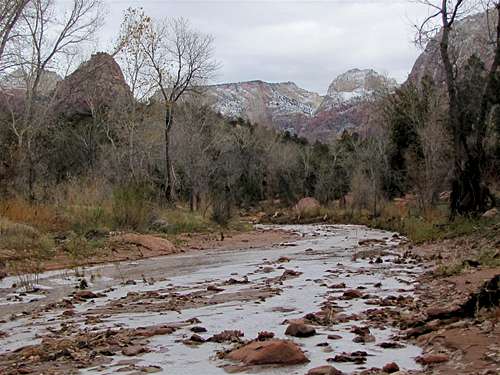
After the narrows, you will reach the junction of Chinle Trail. The valley will open up and you will find yourself in a much greener environment in a beautiful forest. Spectacular slick rock peaks can be seen all around. Follow the stream another 2 miles to reach the oil well ruins.
 |
||
 Altar of Sacrifice Altar of Sacrifice |
 |
 |
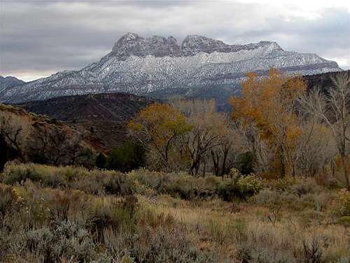
 The Bishopric The Bishopric |
||
 |
 |
 |
 |
||
 |
 |
 Cougar Mountain Cougar Mountain |
Red Tape
Check out http://www.nps.gov/zion/index.htm for all fees and regulations.
Weather and When to Climb
See the forecast for Springdale, UT
Due to very hot summers, October through May is the best hiking season.