
|
|
Mountain/Rock |
|---|---|
|
|
39.94062°N / 111.7308°W |
|
|
Utah |
|
|
Hiking |
|
|
Spring, Summer, Fall |
|
|
9865 ft / 3007 m |
|
|
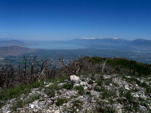
Summit view looking north to Utah Lake
Overview
Santaquin and Loafer Peaks
Hovering over and near the town of Santaquin, this mountain is a great backdrop although few people would know its name (unless you are from the area).The views from the summit of this peak are outstanding but you have to earn them. The access is relatively easy once the snow melts on the roads below it and late spring is about as early as one can expect to get up there.
Dry Mountain comes in at #97 on the top 100 prominence peak list of Utah with a prominence of 1845 feet. More info on this peak can be found HERE.
Oddly enough, the only person I knew that had climbed this one was a friend from Washington State who happened to go up one day when he was waiting for delivery of an auto part.
Getting There
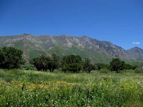
As seen from the west side
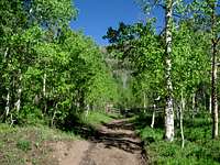
This mountain can be approached from two directions, via I-15 or from the Nebo Loop Scenic Byway road. The easiest access is from I-15 however and this is the information that will be provided here. Take exit #244 in Santaquin and go east under the interstate if coming from the north and take the road that parallels the interstate for about a mile. At a stop sign, you will come to Canyon Road and that is the road you are looking for. Turn left and follow this road (paved) for around 7 miles to Tinney Flat Campground. Just beyond the campground, the road turns to a nice graded dirt road and at the time I drove it, it wouldn't have been a problem for normal passenger type vehicles,as 4WD and high clearance not required.
Stay on this road for about 1.5 to 2 miles and watch for a a rougher dirt road that goes left off the main track at Santaquin Meadows. From there, the trailhead is less than a half mile in and if the road gets a bit too rough, you can park and walk it from near the road. All in all, the driving shouldn't take you much past ten miles from the interstate. I'm sorry not to be exact but a good Benchmark Map will be about all the help you really need. FWIW, the main dirt road continues on and eventually connects with the Nebo Loop Scenic highway.
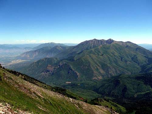
Looking back toward Mount Nebo
Red Tape
None that I am aware of.
Parked near here
Camping

Tinney Flat Campground at 7000 feet has 11 sites and is a very nice campground. I noticed a campground host when we drove through it as well as nice tables and a couple restrooms. The campground is in a beautiful shaded location with a stream running nearby.
You could also camp near the trailhead as there are a few spots that have fire rings and are flat enough for a tent.
Weather
 The Route
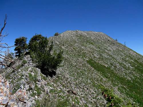
As I studied the National Geographic Topo map, I noticed that there was a trail that went all the way to very close to the summit and beyond. Well, it turned out that the trail ends at a saddle and from there, you just head up the ridge as it gains elevation and then undulates its way to 9865'. By staying as close to the ridgeline as possible, you can avoid a lot of brush although there are many animal use paths that work their way through that brush. Overall, it is about two miles from the start of the trail and a gain of 2000 feet. Plan on two to three hours up, and about half that time back down. The slope gets very steep near the summit so if you encounter snow earlier in the spring, an ice axe and crampons might be necessary.


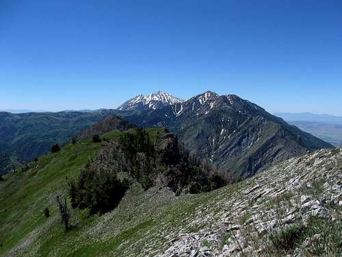
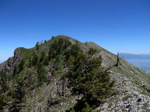
Ridge pics
On the way up to the saddle, I noticed a nice sub peak that you might call the "south summit" of Dry Mountain. It is noted as Peak 9596 and you can find a link to it HERE. Another nearby mountain with prominence that has some future potential is Bald MountainPIC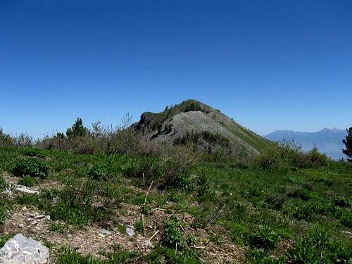

The register
I had left a register when I climbed this and then John Vitz improved on mine and left one of his. Sadly, it has been reported that that register can no longer be found. You can get an idea of visitors by going to:peakbagger.com (link below) and lists of John
ChrisH
DeanMolen
GrantMyers
jhardink
johnvitz
Mike Garratt
scgrant
sniggif
Victor Zhou
willhiteweb
ZeeJay
Peakbagger.com