-
 2388 Hits
-
 73.06% Score
-
 3 Votes
|
|
Mountain/Rock |
|---|---|
|
|
Mountaineering, Trad Climbing, Via Ferrata |
|
|
Summer, Fall |
|
|
7313 ft / 2229 m |
|
|
Overview
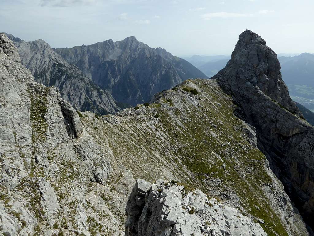
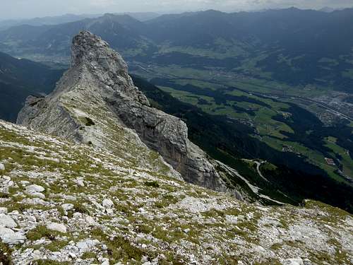
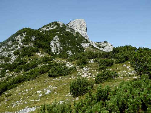
The Gleirsch – Halltal range of Karwendel mountains has a nice and entertaining rock outcrop at its very eastern end: a summit called Hundskopf (on some maps also Walder Zunterkopf). Far from having the shape of a dogs head or from barking at you while ascending, Hundskopf is, due to its easy accessibility and due to a short but nice via ferrata, the Erich-Kuen-Klettersteig, a rather frequented mountain. Many people do Hundskopf as a half days trip into Karwendel.
The ridge Walderjoch – Hundsjoch – Hohe Fürleg separates the Inntal valley in the south from Vomper Loch in the north, one of the most remote and wild parts of Karwendel mountains. A toll road goes up from the village of Gnadenwald above Inntal valley to Hinterhorn Alm at about 1550 m height. This is the trailhead for Hundskopf and also for some adjacent peaks: Tratenspitze, Walderkampspitze and Hohe Fürleg. All these peaks can be combined together to a long day. Hundskopf is, as you like it, the antipasto or the sweet dish of this traverse.
Getting There
You reach the trailhead at Hinterhornalm by car:
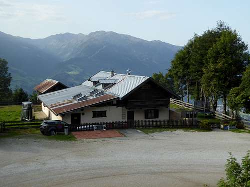
From Innsbruck, Salzburg or Munich by using highway number A 12 (toll road) to the exit “Wattens”. Follow the signposts to Fritzens and to “Gnadenwald”, crossing the river Inn. After Gnadenwald take the toll road (toll machine, you need coins!) to the right which goes up to Hinterhornalm with a huge parking area.
Good food and excellent views!
The next railway station is “Fritzens-Wattens”. There is as far as I know no bus connection to Gnadenwald or to Hinterhornalm.
Routes Overview
Routes to Hundskopf:
Take the trail from Hinterhornalm to the northeast (signpost Hundskopf, Erich-Kuen-Klettersteig). After reaching the main ridge turn left / west and follow the trail up the ridge (some scrambling) to a trail junction:
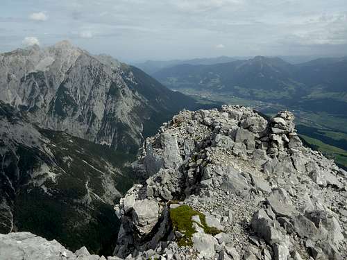
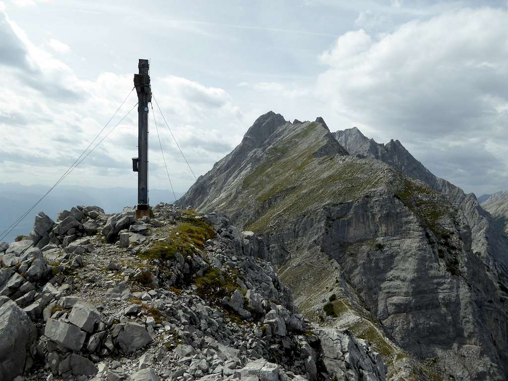
The direct normal route follows the east ridge, which immediately gets steeper and more exposed. It is an easy via ferrata route which is rated A/B, and is perfectly secured with steel ropes. Soon you reach the roomy summit with its huge summit cross.
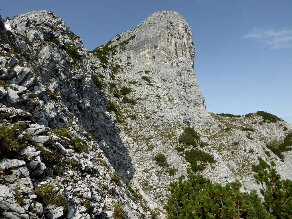
For Erich-Kuen-Klettersteig use the trail to the right at the trail junction. The trail traverses the steep northern rock faces of Hundskopf and reaches steadily ascending the broad col of Manndl und Weibele Scharte. Turn left on a steep and narrow trail which leads up to the first steel rope of the short and exposed via ferrata. Excellently secured and rated B/C, the route uses the impressive west face of Hundskopf; after only 20 minutes of via ferrata the fun ends at the summit cross.
Nice and short loop route.
Climbing:
The impressive southern rock face hosts a direct south face route (UIAA grade V) and the south face chute (UIAA grade III – IV). Due to partly bad rock quality these routes are not very frequented. Trailhead is Hinterhornalm.
Traverse route:
Last switchback on the road to Hinterhornalm (parking there for the traverse!) – Hinterhornalm – Hundskopf normal route – Erich-Kuen-Klettersteig – Manndl und Weibele col – Tratenspitze – Walderkampspitze – Hohe Fürleg – Fallbachkar – Kleine Wechselspitze – Wechselscharte - Hüttenspitze – Alpensöhne hut – traverse trail back to the last switchback; a rather long and epic da.
Red Tape & Accommodation
Hundskopf is part of the “Alpenpark Karwendel”, an important and strictly protected national park.
There is no entrance fee for the park but many regulations to follow.
Camping is not allowed within Alpenpark Karwendel.

Accommodation
Food and lodging can be found at:
Mountain huts
Hinterhornalm (only food and drinks)
Gear & Mountain Condition
Hundskopf is a summer and autumn mountain.
- Erich-Kuen-Klettersteig is rated B/C and very entertaining but short.
- The secured part of the normal route is rated A/B.
You need full Via Ferrata gear like self belay, helmet, gloves.
Weather:
Maps
Best maps are:
Alpenvereinskarte, scale 1 : 25000,
- number 5/2, Karwendelgebirge, Mittleres Blatt, edition 2015 and
- number 5/3, Karwendelgebirge, Östliches Blatt, edition 2015
both with trails and UTM grid


