-
 1428 Hits
-
 76.66% Score
-
 7 Votes
|
|
Mountain/Rock |
|---|---|
|
|
Hiking, Skiing |
|
|
Spring, Summer, Fall, Winter |
|
|
6106 ft / 1861 m |
|
|
Overview
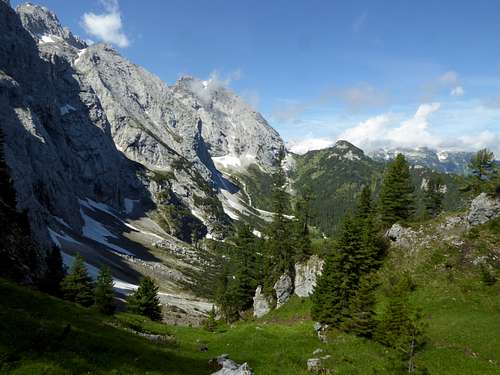
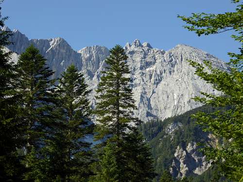
The Wetterstein range is a wellknown and frequented area near Munich and above the famous town of Garmisch-Partenkirchen. Many cablecars and ski areas give access to these mountains. Hiking trails, canyons, via ferratas and the highest mountain of Germany, the Zugspitze, will guarantee many people around you.
Nevertheless, there is a calm, wild, unknown and remote part within Wetterstein range. I explored it during the corona pandemic in 2021, when it was difficult to cross the border to Austria. As I skimmed through my maps to find some new mountain for me and for a beautiful summer day without driving too long, my eyes fell upon the region between Garmisch-Partenkirchen and the main range of Wetterstein. South of the village and north of the gigantic Wetterstein limestone walls there are some minor summits which can be linked together to a traverse and where trails are no longer maintained – a guarantee for a lonely hike.
These summits are called Oberer Kämikopf and Kämitorkopf to the west and Zirbelkopf, a summit I describe in another article, to the east.
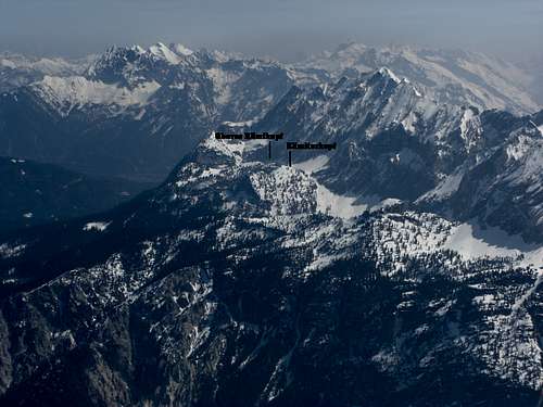
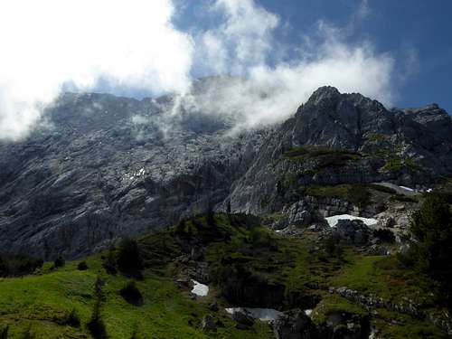
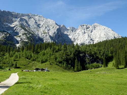
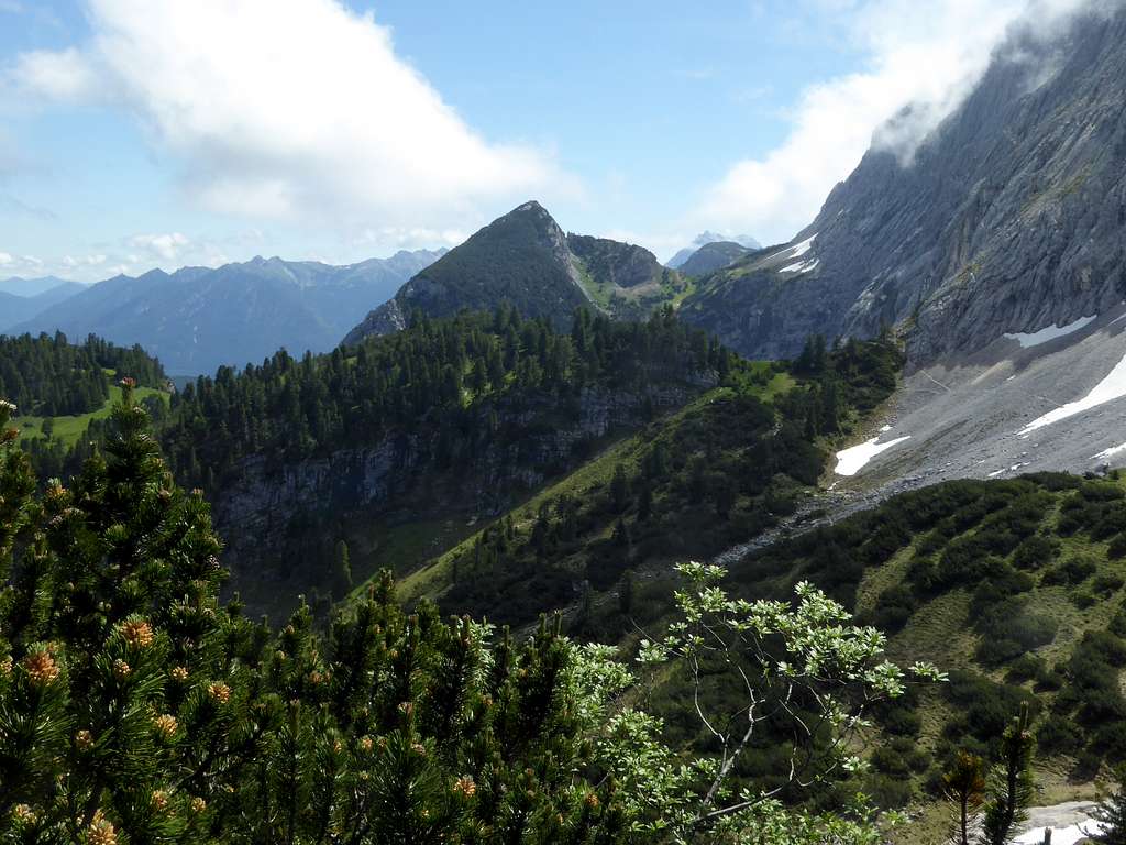
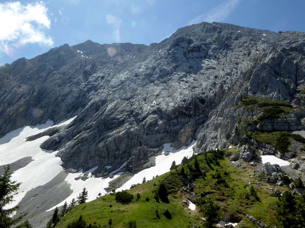
Oberer Kämikopf and Kämitorkopf are the culmination points of two ridges north of mighty Wettersteinwand. These ridges start at two adjacent cols at the lower end of the rock faces of Wettersteinwand, one of them is called Kämitor, lying east above Wetterstein Alm hut. Oberer Kämikopf is located south of Kämi Alm hut, a remote and beautiful Alm meadow with a small wooden shack and east of Kämitor and Kämitorkopf.
To the west is located Schachentor, Schachentorkopf and the famous Schachenhaus with the royal tea house of Bavarian king Ludwig II. Despite of this nearby touristic highlight, the Kämi region is calm and lonely.
To the east follows Zierbelkopf, another second row summit, which can be linked together with Kämitorkopf and Oberer Kämikopf to a real great loop route.
Getting There
Main trailhead for Kämitorkopf / Oberer Kämikopf – is
Hiker parking area Schloss Elmau (toll fee required)
You arrive Schloß Elmau parking area by car:
From Munich directions on highway A95 to its end and on road number B2 to Garmisch-Partenkirchen and Klais. Leave B 2 at Klais in the direction to Schloß Elmau (toll road) and follow this road to its end (huge parking area).
Coming from Innsbruck, Kufstein or Landeck direction use highway A12 to exit Zirl. Turn on road number 177 to Scharnitz and B2 to Mittenwald and Klais. Leave road number B2 at Klais to the right in the direction to Schloß Elmau (toll road) and follow this road to its end.
Public transportation:
Next railroad station is Klais, coming from Munich or Innsbruck. There is no public transportation to the trailhead at Schloß Elmau.
Routes Overview
From Elmau parking area:
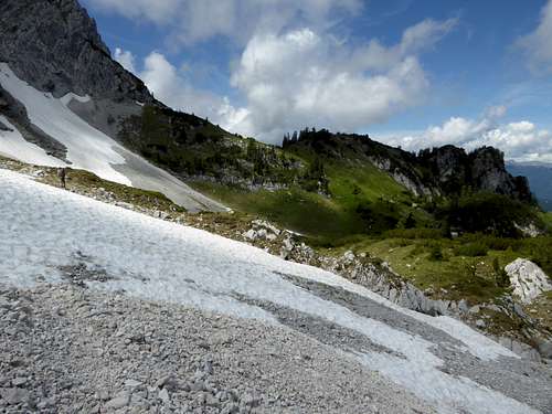
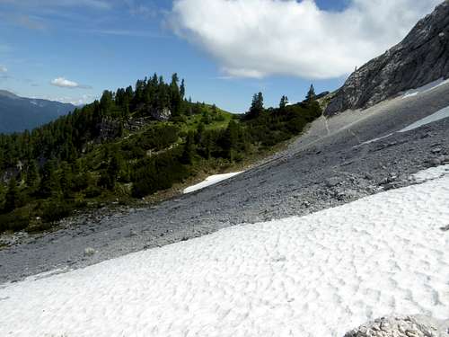
Follow the forest road “Königsweg” to the west until you reach Wettersteinalm. Leave the forest road at the Alm huts and ascend the slopes lefthand and off trail until you reach a trail some 50 m above the Alm huts. Follow this unmarked trail to Kämitor. Kämitorkopf is the dwarf pine overgrown bump north of the col.
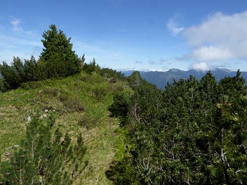
For Oberer Kämikopf traverse the cirque east of Kämitor on narrow foot tracks. Go first in southeast direction on broad meadow ledges until you can climb down into the cirque (some steep foot tracks). Traverse the cirque and ascend shortly to the col south of Oberer Kämikopf. Oberer Kämikopf is another dwarf pine overgrown bump north of the col.
For the descend choose the foot track in northeastern direction and follow the northeast ridge of Oberer Kämikopf or better east and below of it until you can gain the upper end of the vast Alm meadow of Kämialm. Descend the meadows to Kämi Alm hut (some foot tracks visible). From the Alm hut follow the meadows downhill until a small and steep valley starts and bends to the west. A trail starts here and leads down to a trail junction and a meadow. Follow this trail until you reach the crossing of Schützensteig trail between Mittenwald and Wettersteinalm.
You can go left and back to Wettersteinalm or more shortly you go straight on until you reach a forest road. Go left there until you reach Königsweg forest road. Turn right and walk back to Elmau parking area.
In winter and early spring Kämitor and Schachentor are ski tour aims.
Full traverse Kämitorkopf – Oberer Kämikopf and Zirbelkopf
This is a great outing and requires much of a day. Combine the routes to Kämitorkopf, Oberer Kämikopf and Zirbelkopf to a loop route, coming from Elmau parking area (recommended) or Mittenwald.
Red Tape & Accommodation
Red Tape
The summit area of Kämitorkopf, Oberer Kämikopf and Zorbelkopf is a nature protection area. The hiking trails within the protected area are no longer maintained. It is not forbidden to enter the area. Please respect the common rules for those areas and keep your impact as small as possible.

Accommodation
The hotels "Schloß Elmau" and "Das Kranzbach", lying near the trailhead are luxury resorts.
Mountain huts
Wettersteinalm (only food and drinks, no overnight stay)
Gear & Mountain Condition
Kämitorkopf / Oberer Kämikopf is mainly a late spring, summer and autumn hike. As this hike is partly on unmarked, narrow and steep trails, partly off-trail, you need hiking gear, good shoes and orientation abilities.
With fog the orientation may be in parts very difficult.
In winter and early spring Kämitorkopf, mostly together with Schachentor and Schachenkopf, is a nice ski tour even for beginners.
You need ski tour gear and full avalanche gear.
See the Bavarian avalanche bulletin here.
Weather condition
Weather valley, Klais village
Mountain weather Zirbelkopf
Maps
As the orientation may be in parts difficult I recommend for this hike only the use of:
Alpenvereinskarte, scale 1 : 25.000
Wetterstein / Mieminger Gebirge Ost, number 4/3
with trails or with ski routes or with trails and ski routes, all have UTM grid
edition 2011
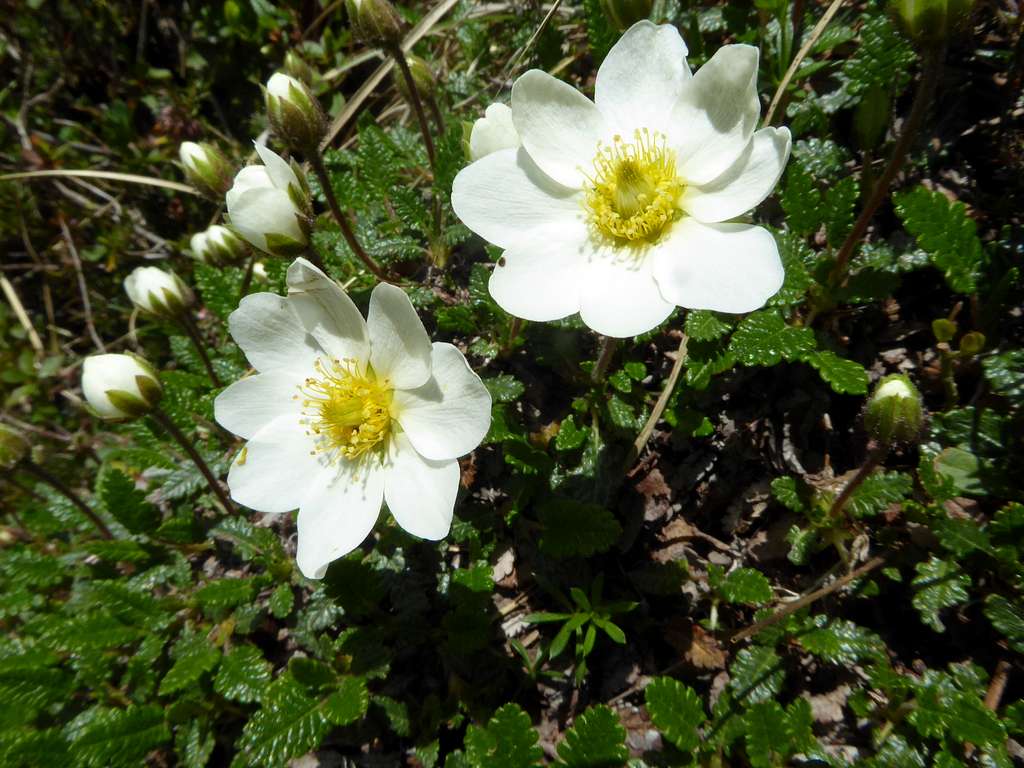
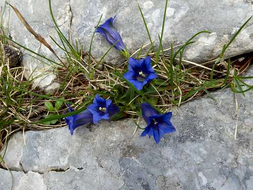
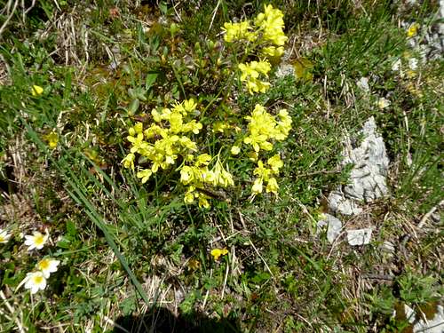
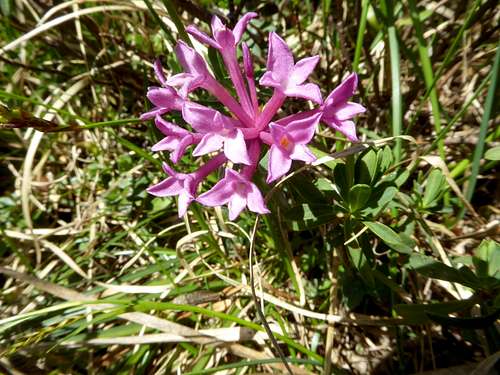
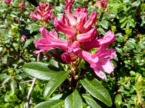
Kämitor Wildflowers
