-
 1520 Hits
-
 76.66% Score
-
 7 Votes
|
|
Mountain/Rock |
|---|---|
|
|
Hiking |
|
|
Summer, Fall |
|
|
6499 ft / 1981 m |
|
|
Overview
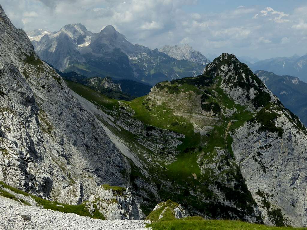
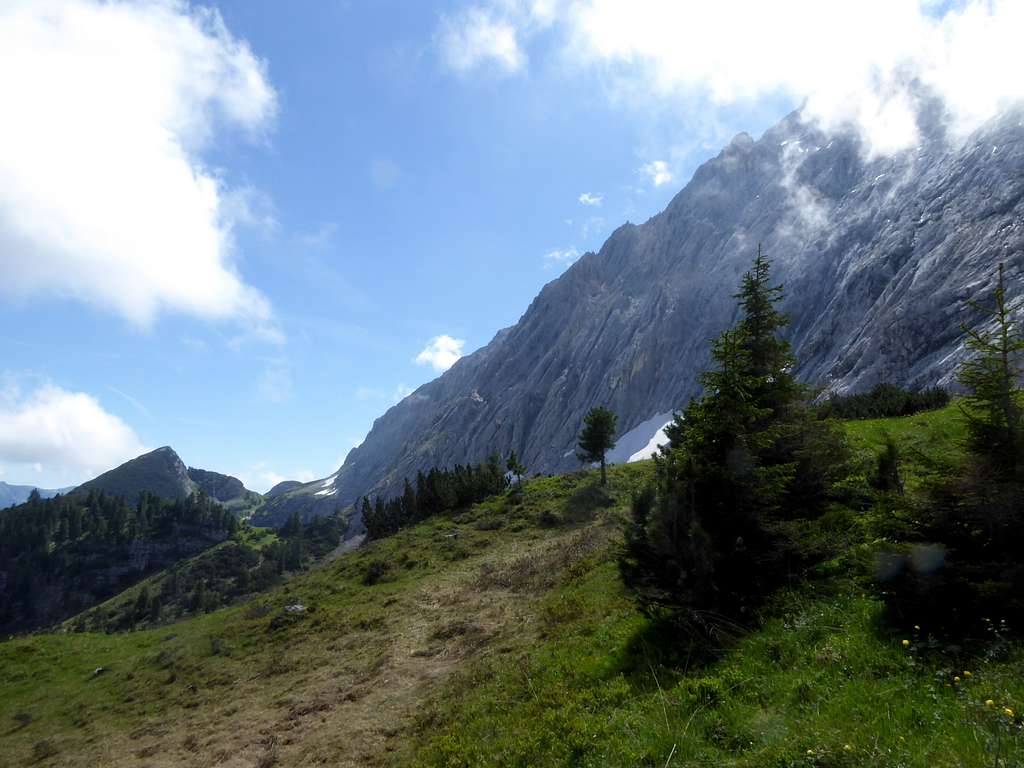
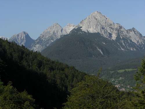
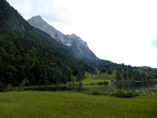
North of the mighty rock faces of Wettersteinwand, Rotplattenspitze and Obere Wettersteinspitze lies a lonely and remote and yet unknown part of Wetterstein range. It is the area between the main Wetterstein ridge to the south and the area of the village of Klais and the wellknown luxury resort of Elmau, a rather forgotten small area where trail are no longer maintained and hikers are rarely to be seen.
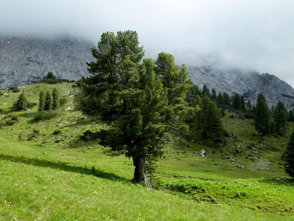
It is a geological rare site, too. Below the mighty rock walls built of Wetterstein limestone, the tectonic and erosion forces created a vast outcrop of sandy “Raibler Schichten” which provide much silicium. This mixture of limestones and silica stones create an abundant plant live with many rare wildflowers and a rare conifer species, the Pinus cembra, called Arve or Zirbe in our alpine regions. The denomination Zirbelkopf is derived from this grove of Pinus cembra located west of our summit. It is as far as I know the only appearance of this conifer in Bavaria. Pinus cembra is more frequently seen in Austria and Switzerland.
Pinus cembra is a beautiful tree which grows slowly, often gets older than 200 years and provides a healthy natural resin and a searched after wood for furniture or interior fitting of rural living rooms. Even the wooden chips of carpenter works are used for cushion filling. As I know personally these cushion filling foster a better and deeper sleep.
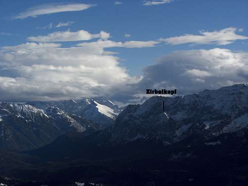
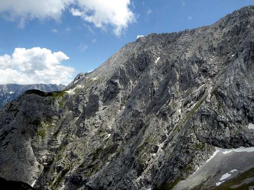
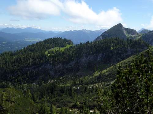
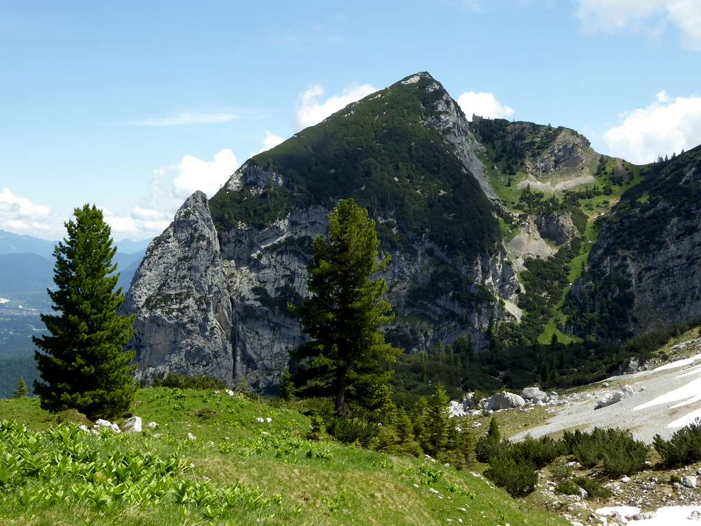
Back to our summit. Zirbelkopf stands 400 meters below the much higher Rotplattenspitze and Obere Wettersteinspitze. Located east of Oberer Kämikopf and west of Gamsanger, a meadow below Obere Wettersteinspitze, Zirbelkopf is separated from the Wetterstein main range by a deep cut in and nameless notch. To the north Zirbelkopf drops down to the woods of Klais and Ellmau with a steep, 500 meters high rock wall.
It is a wild, lonely and remote summit despite of the nearby located Elmau resort and the touristic highlight of Schachen and the royal tea house of king Ludwig II.
Getting There
Main trailheads for Zirbelkopf are
- Hiker parking area Schloss Elmau (toll fee required)
- Parking area for Lautersee / Ferchensee near Mittenwald
You arrive Schloß Elmau parking area by car:
From Munich direction on highway A95 to its end and on road number B2 to Garmisch-Partenkirchen and Klais. Leave B 2 at Klais in the direction to Schloß Elmau (toll road) and follow this road to its end (huge parking area).
Coming from Innsbruck, Kufstein or Landeck direction use highway A12 to exit Zirl. Turn on road number 177 to Scharnitz and B2 to Mittenwald and Klais. Leave road number B2 at Klais to the right in the direction to Schloß Elmau (toll road) and follow this road to its end.
Public transportation:
Next railroad station is Klais, coming from Munich or Innsbruck. There is no public transportation to the trailhead at Schloß Elmau.
You arrive Mittenwald trailhead by car:
From Munich direction on highway A95 to its end and on road number B2 to Garmisch-Partenkirchen and Klais. Leave B 2 to Mittenwald, pass through the village until road St2042 to Leutasch braches off to the right. Park your car immediately after the first switchback of that road.
Coming from Innsbruck, Kufstein or Landeck direction use highway A12 to exit Zirl. Turn on road number 177 to Scharnitz and B2 to Mittenwald. Leave road number B2 for Mittenwald and turn left on road number St2042 to the parking area.
Public transportation:
Next railroad station is Mittenwald, coming from Munich or Innsbruck.
There is a bus service to Lautersee.
Routes Overview
From Elmau parking area:
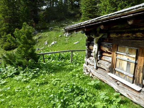
Follow the forest road “Königsweg” to the west until you reach a forest road junction with signposts for “Wettersteinalm” to the right and “Schützensteig / Mittenwald” to the left. Go left there and right at the next forest road junction. Ascend this bad forest road to Schützensteig, go straight on and left at a trail junction above a huge clearing. Ascend steeply to the meadows of Kämi Alm, follow these meadows up, passing Kämi Alm hut and regain some foot tracks above the Alm hut.
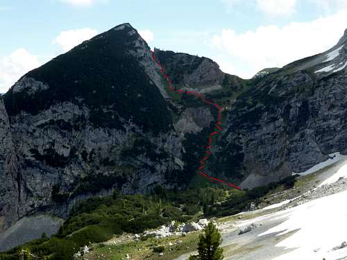
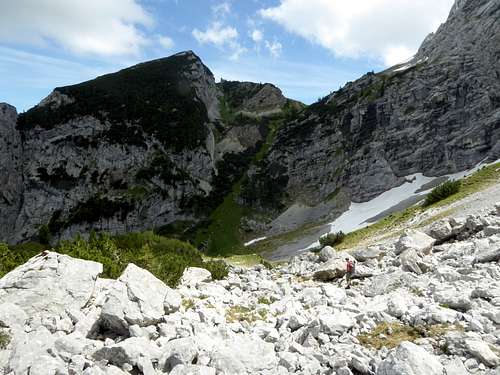
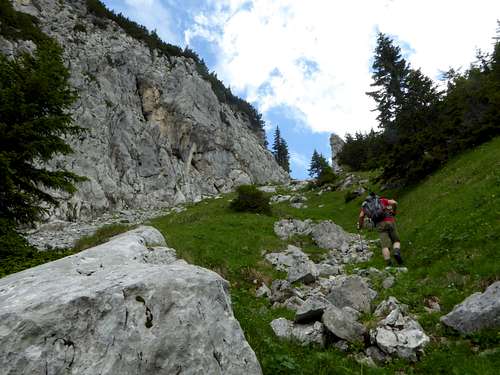
Leave these meadows to the left and descend into the valley between Oberer Kämikopf to the west and Zirbelkopf to the east (no trail or track), the so called Windgfällkar. Traverse the valley and aim for the meadow chute which leads up to the notch between Zirbelkopf to the north and the rock walls of Rotplattenspitze to the south. At the beginning of the chute you will find an unmarked, narrow foot track. Follow it up in some zigzags and then left. Climb steeply to a higher notch north of the main notch.
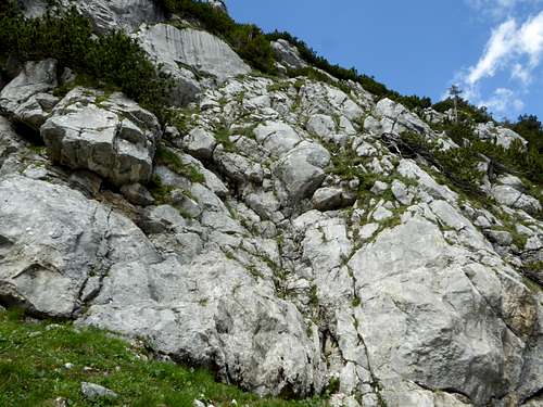
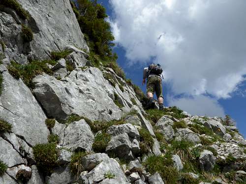
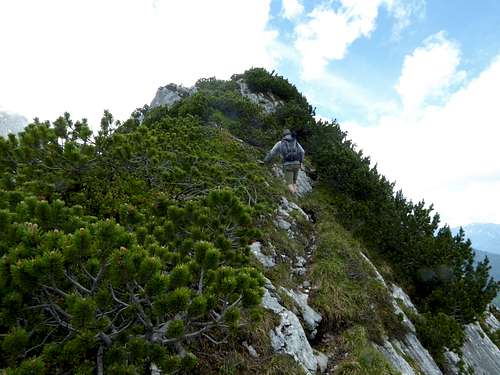
Turn north and climb off trail some easy rocks (UIAA grade I) first straight up and then to the right, where some ledges lead up to the east ridge of Zirbelkopf. Follow the east / summit ridge on a foot track to the summit.
Descend like ascend.
From Mittenwald:
Follow the road in Lautersee direction. At the signpost turn left on Schützenstein. This trail traverses the lower ends of Untere and Obere Wettersteinspitze north slope, first above Lautersee and Ferchensee. Ignore the trails to Leutasch and to Obere Wettersteinspitze, branching off to the left. Stay on the trail until you reach the trail junction with the trail to Kämi Alm. Do the ascend / descend as described above and return on Schützenstein to Mittenwald.
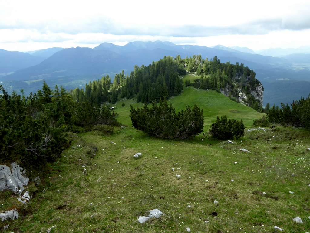
Full traverse Kämitorkopf – Oberer Kämikopf and Zirbelkopf
This is a great outing and requires much of a day. Combine the routes to Kämitorkopf, Oberer Kämikopf and Zirbelkopf to a loop route, coming from Elmau parking area (recommended) or Mittenwald.
Red Tape & Accommodation
Red Tape
The summit area of Kämitorkopf, Oberer Kämikopf and Zirbelkopf is a nature protection area. The hiking trails within the protected area are no longer maintained. It is not forbidden to enter the area. Please respect the common rules for those areas and keep your impact as small as possible.

Accommodation
The hotels "Schloß Elmau" and "Das Kranzbach", lying near the trailhead are luxury resorts.
Mountain huts
Wettersteinalm (only food and drinks, no overnight stay)
Gear & Mountain Condition
Zirbelkopf is mainly a late spring, summer and autumn hike. As this hike is partly on unmarked, narrow and steep trails, partly off-trail, you need hiking gear, good shoes and orientation abilities. Zirbelkopf summit block requires a bit of grade I climbing. All more difficult when wet.
With fog the orientation may be in parts very difficult.
Weather condition:
Weather valley, Klais village
Mountain weather Zirbelkopf
Map
As the orientation may be in parts difficult I recommend for this hike only the use of:
Alpenvereinskarte, scale 1 : 25.000
Wetterstein / Mieminger Gebirge Ost, number 4/3
with trails or with ski routes or with trails and ski routes, all have UTM grid
edition 2011
