Mount Whitney 8-29-2013
Mount Whitney wasn't even on my radar until Joel suggested we apply for the lottery back in February. I hadn't researched the climb until I found out we won a spot, and I was surprised to learn that although it is the highest piece of earth in the lower 48 States, nothing technical would be required to reach the top. The length and elevation of the climb was nothing new to us, and there is a well-constructed trail all the way up which made altitude adjustment our biggest concern.
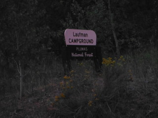
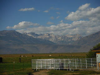
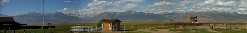
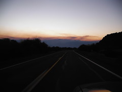
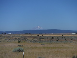
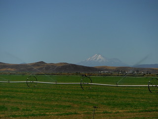
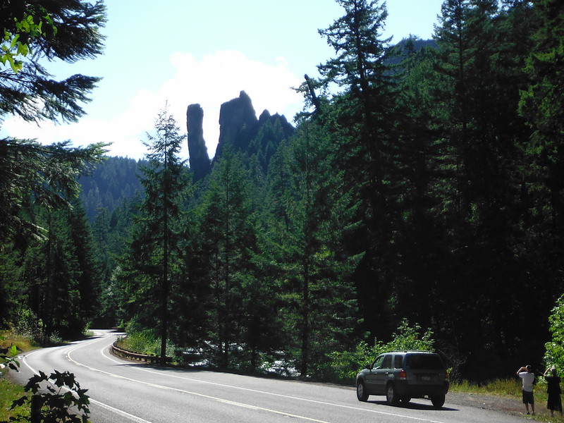
We reserved a site at the Whitney Portal Campground for the day before the climb and started the long drive from Seattle late Tuesday morning. 3 of our buddies dropped out on the trip which allowed Joel, his brother Johnny and me to fit comfortably in one vehicle with all our gear. Leaving I-5 and crossing to the East side of the Cascades just south of Eugene Oregon cut over 200 miles off of the trip and improved the scenery. After about 12 hours of driving we pulled into the Laufman campground near Honey Lake and slept in the truck for a few hours. We were back on the road before sunrise and arrived in Lone Pine with plenty of time to pick up our Whitney Zone permit and to get quality meal in town. I hear the Mount Whitney Restaurant serves a damn good buffalo burger,and the elk isn't bad either.
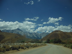
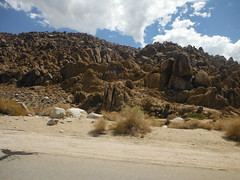

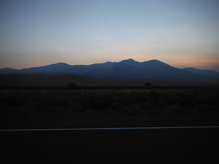
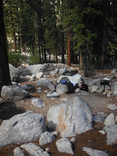
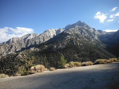
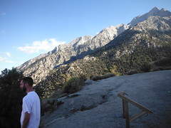
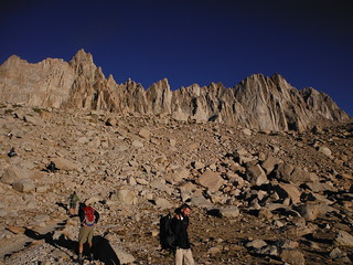
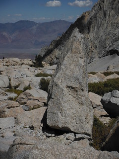
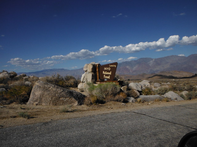
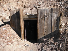
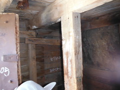
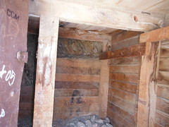
On the way up the Whitney Portal Road we noticed a small open door in the side of the rock that resembled a mine entrance and promised to stop and explore on the way out. Four thousand feet of elevation is gained in about 11 miles between the high desert floor and the Whitney Portal campground. Once past the two long switchbacks and into Lone Pine Creek Valley the skies became crowded by endless masses of granite. The campground itself is very pleasant. Huge redwoods and rock piles separate the sites with the creek running through the center, and a picture frame view of Whitney pokes through the trees. We crawled into our sleeping bags before the sun set, hoping to get a few hours of shut eye before our planned 2 a.m. wakeup call.
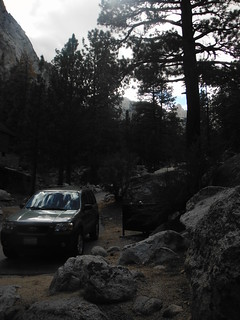
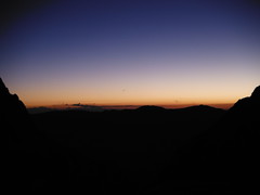
We broke down camp halfway, then drove to the trailhead where we stashed all the food and anything smelly in a bear vault. We hit the trail at 3:40 under a less-then-half-full Moon that was bright enough to allow for travel without headlamps. About a mile from the trailhead we found ourselves on the Mountaineers route at a sign warning us that we had left the Mount Whitney trail. We corrected our route, and just past the junction the trail crossed Lone Pine Creek twice and provided several viewpoints into the dark valley below. As we gained elevation the temperature dropped and the wind picked up. Just below 11,000' Johnny learned first hand why cotton clothing is no good in an alpine environment. The sweat on his only t-shirt have the wind an extra effect and with only a goody for warmth he wouldn't last long. The sun had just began to cast a pink hue on the horizon and the wind was likely to hold steady or increase for the remainder of the climb, so he made the safe choice to turn back.
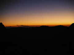
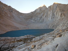
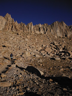
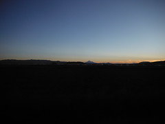
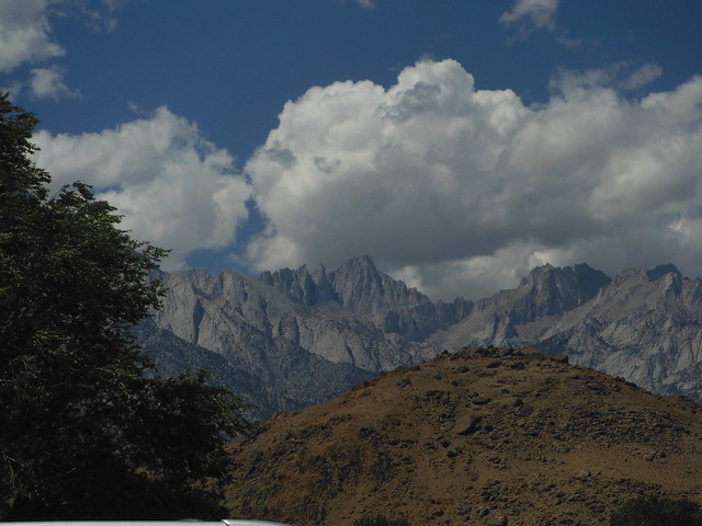
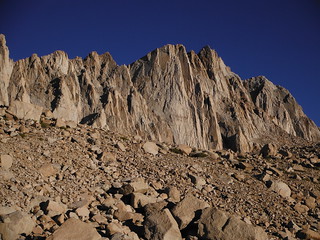
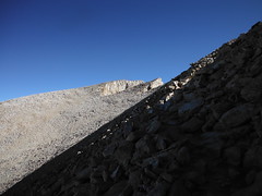
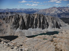
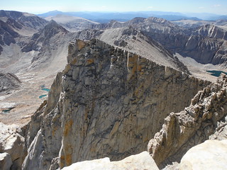
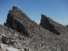
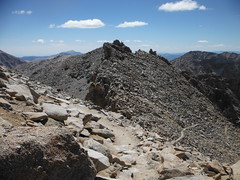
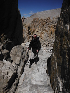
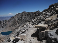
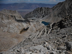
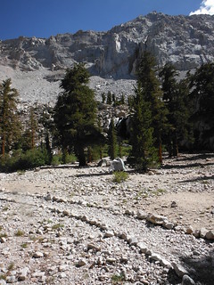
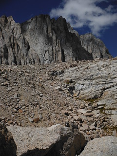
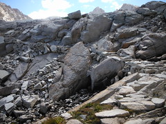
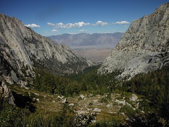
As we arrived at Consultation Lake the east face of Mount Whitney lit up in alpenglow. the only snow field left was caked in dirt, blending in to the talus bank East of Discovery Pinnacle. The trail Camp was less crowded than we expected, as was the trail itself with only about 30 people in view as we started up the "97 switchbacks". As we moved more in-line with the ridge to Mount Whitney it became harder to tell which point was the true summit.
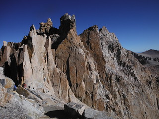
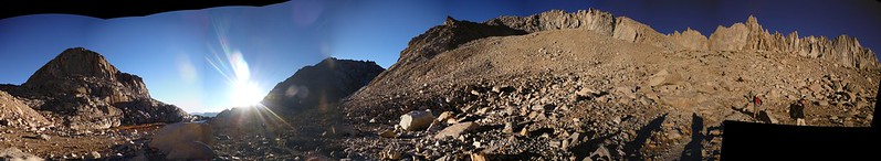
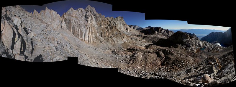
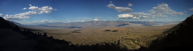
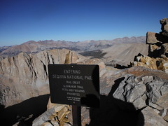
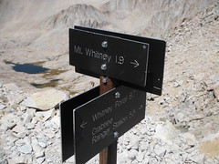
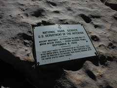
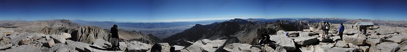
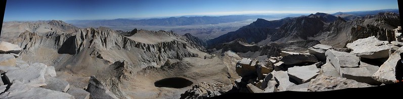
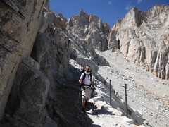
On the other side of the trail crest is Sequoia National Park and beautiful Kings Canyon Wilderness. I was surprised to learn that dogs are actually allowed in the Whitney Zone up to this point. We lost a few hundred feet to the junction for the John Muir Trail, where we found about a dozen overnight packs from a group on a multi-night trip who were exiting through the portal after their summit. This was the windy side - as we expected, the ridge had been providing shelter up until we crested it. From here the soft Western slope to the top and the summit shack lie across a mile or so of traversing trail. The last 2 miles do not feel like they will lead you to the highest point in the contiguous United States. Once on the final slope, the 10'x30' building remained hidden beyond the upward horizon until we were within one hundred feet of it.
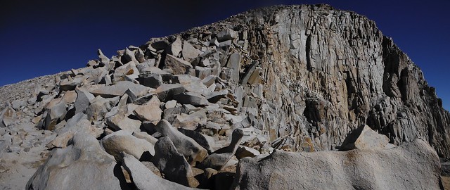

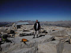
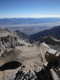
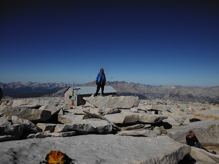
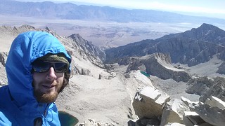
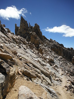
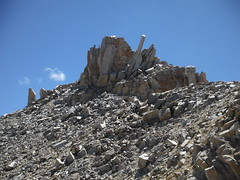
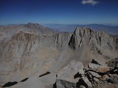
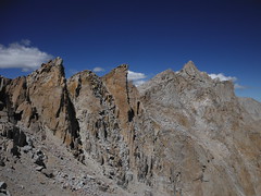
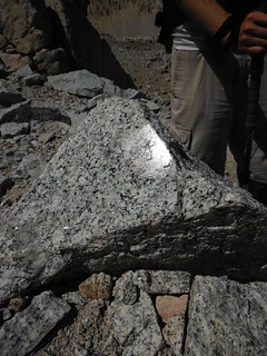
The summit is a broad pile of massive boulders. The Mountain's stature is no more obvious from its top than from any other perspective. Dozens of surrounding peaks appear to the naked eye as if they may be taller. The wind had died down considerably although one of many stacked rock walls still provided much appreciated shelter as we rested. At one point I felt that I was getting slightly less oxygen than normal with each breath, but this could easily have been all in my head. Neither of us felt much effect from the altitude at the top so we shared a fatty blunt to celebrate.
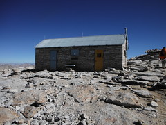
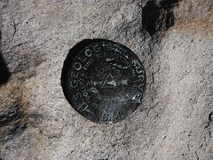
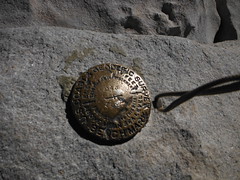
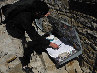
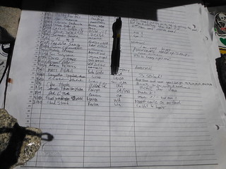
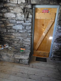


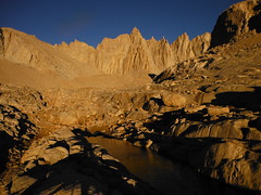
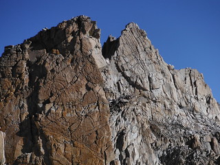
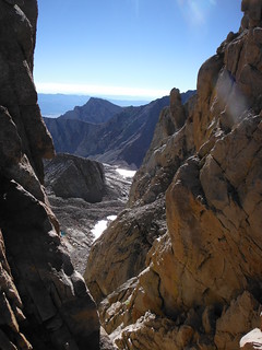
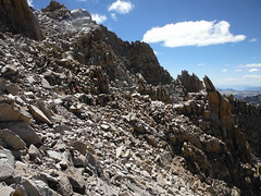
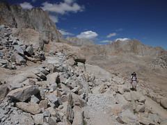
After a leisurely summit stay we stopped to sign the register and explore the tiny climbers shelter before heading down. The floor is engineered to insulate from the ground, providing refuge from lightning. The Keeler needle looks dramatic from the trail to the Northwest. I really enjoyed how the trail winded through crumbly rocky terrain on the West face.
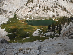
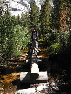
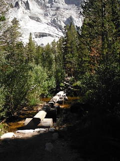
The descent went quickly as expected. The Mount Whitney Trail is a pleasure to hike, as it allows one to lift their eyes from the ground and fully take in the epic scenery. We took our time from Mirror Lake on since we hadn't seen much on our way up in the dark. The Outpost Camp looked very inviting. We returned to the truck exhausted but antsy to get as much of the return drive as possible behind us before crashing out for the night. We stayed again in the Laufman Campground Thursday night. We set up camp this time and I slept better than I had in weeks.
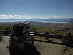
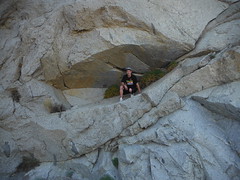
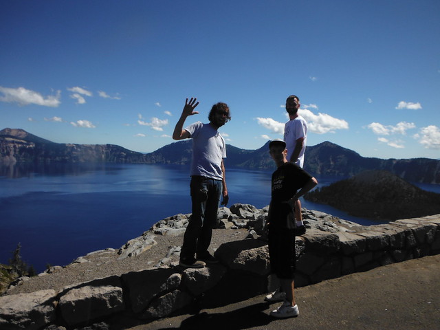
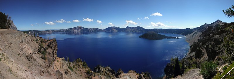
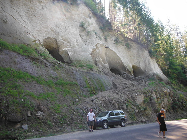
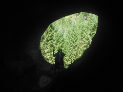
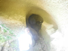
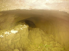
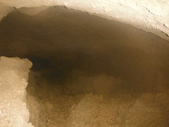
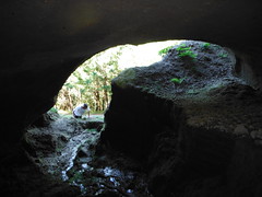
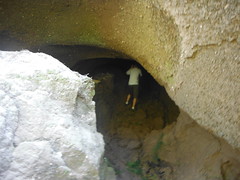
The next morning we hit an endless line of stopped traffic on Highway 97 a few miles before our junction with Highway 58. After 20 minutes without moving an inch we chose to backtrack to highway 138, adding about 100 miles to our return trip. Since we were right there I convinced Joel and Johnny to take the side trip up to have a look at Crater Lake. We were also lucky enough to happen upon a set of 4 small caves above an embankment just off the highway. They were all dead ends, the longest one being about 40 feet back. While exploring we spoke to a local who was certain the caves were not present the summer before. The rest of the return trip was mostly boring other than a stop at Voodoo Donuts in Portland.
The numbers:
2100+ miles in the truck
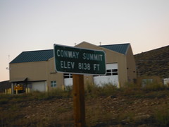
8138' peak Highway elevation
7 tanks of gas
4 days
3 nights
22 miles hiked
7000'+ elevation gained
1 more summit
My Blog
Comments
No comments posted yet.
