
|
|
Mountain/Rock |
|---|---|
|
|
45.33470°N / 116.5466°W |
|
|
Download GPX » View Route on Map |
|
|
Mountaineering |
|
|
Summer |
|
|
8740 ft / 2664 m |
|
|
Overview
Rank: Peak 8740 ft is Idaho’s 1467th highest ranked peak
Prominence: 440 ft
Unnamed Peak 8740 ft rises 858 ft above the western shores of Sheep Lake in the Seven Devils Mountains of Idaho near Hells Canyon. Its summit provides you with great views of the many local alpine lakes and the jagged peaks that rise above them. No trail goes to the summit of Peak 8740 ft, but its top can be reached via a walk up a forested slope starting at a 8300 ft saddle to the north of the peak where a trail runs.
Starting at Windy Saddle Trailhead, Two different trails can be followed to the 8300 ft saddle. The official trail is 8.5 miles long one way and has a lot of ups and downs. The second is an unmaintained beaten path that takes you 940 vertical feet up rugged slopes to a 8540 ft saddle and then 650 vertical feet down more rugged slopes to the eastern shores of Sheep Lake where you could skirt the southern end of the lake to reach the trail that will take you to the 8300 ft saddle. On the internet, I had read that the path had much exposure and was scary so on the day of my hike, I was ready to turn around if it became too difficult. In the end, it turned out to be not bad at all. I would say that with no ice present, any experienced mountain hiker should have no problem hiking that path.
Getting There
From Riggins, Idaho, drive 1.3 miles south on Route 95 and turn right (west) onto Seven Devils Road (Forest Road 517). Go 17 miles to Windy Saddle Trailhead. Road 517 is unpaved. When I drove it, I found its surface to be not too rough and felt that any vehicle with reasonable clearance and strength should be able to make it.
Seven Devils Campground is closer to the start of the path to Sheep Lake than the trailhead but unless you camp, you will not find parking at the Campground.
Route & Trip Report
My hike turned out to be 7.9 miles roundtrip with 2715 ft of ascent.
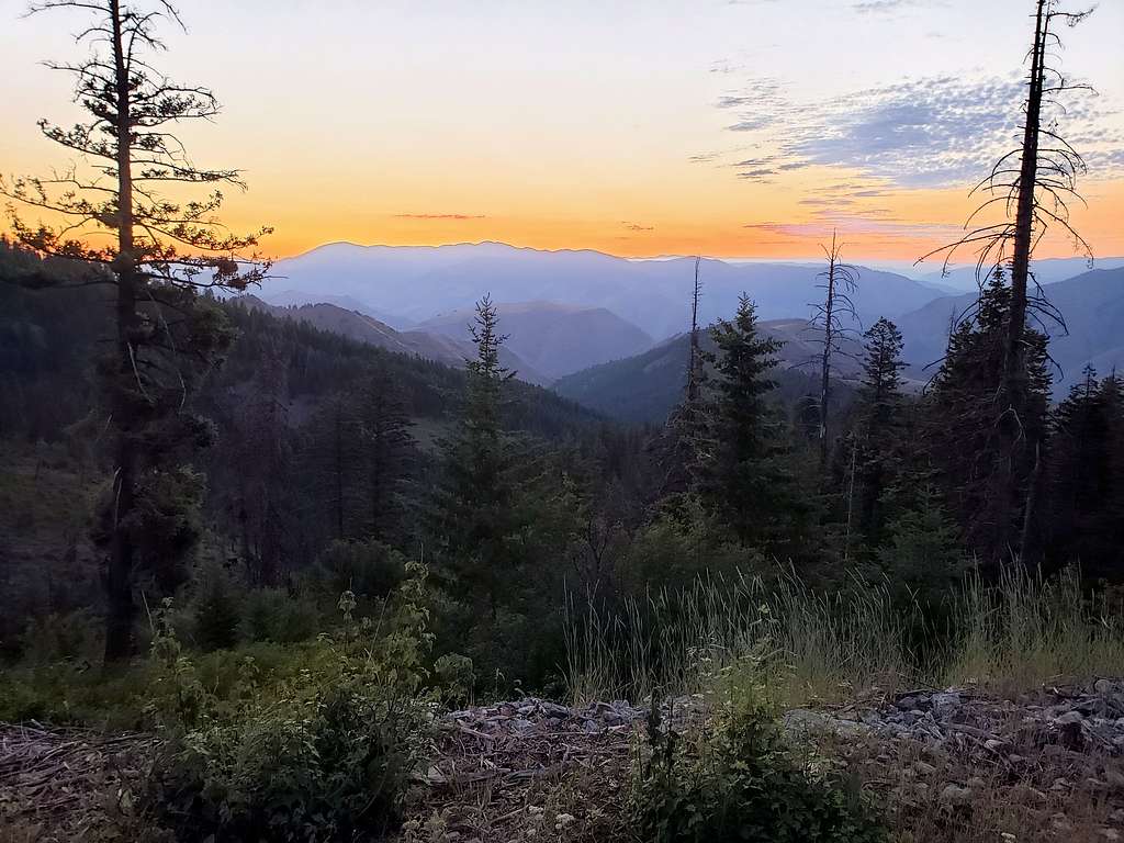
Left the vacation rental house one mile north of Riggins, Idaho at 5:10 AM (Sunrise around 6:10) and drove a short distance on Highway 95 to Forest Road 517. In 17 miles, that road went from an elevation of 1800 ft at Highway 95 to 7600 ft at Windy Saddle. As the road went up in elevation, it went into a forest and it was at first fairly dark. At a clearing in the forest, I stopped to take a picture of the orange colored sky to the east.
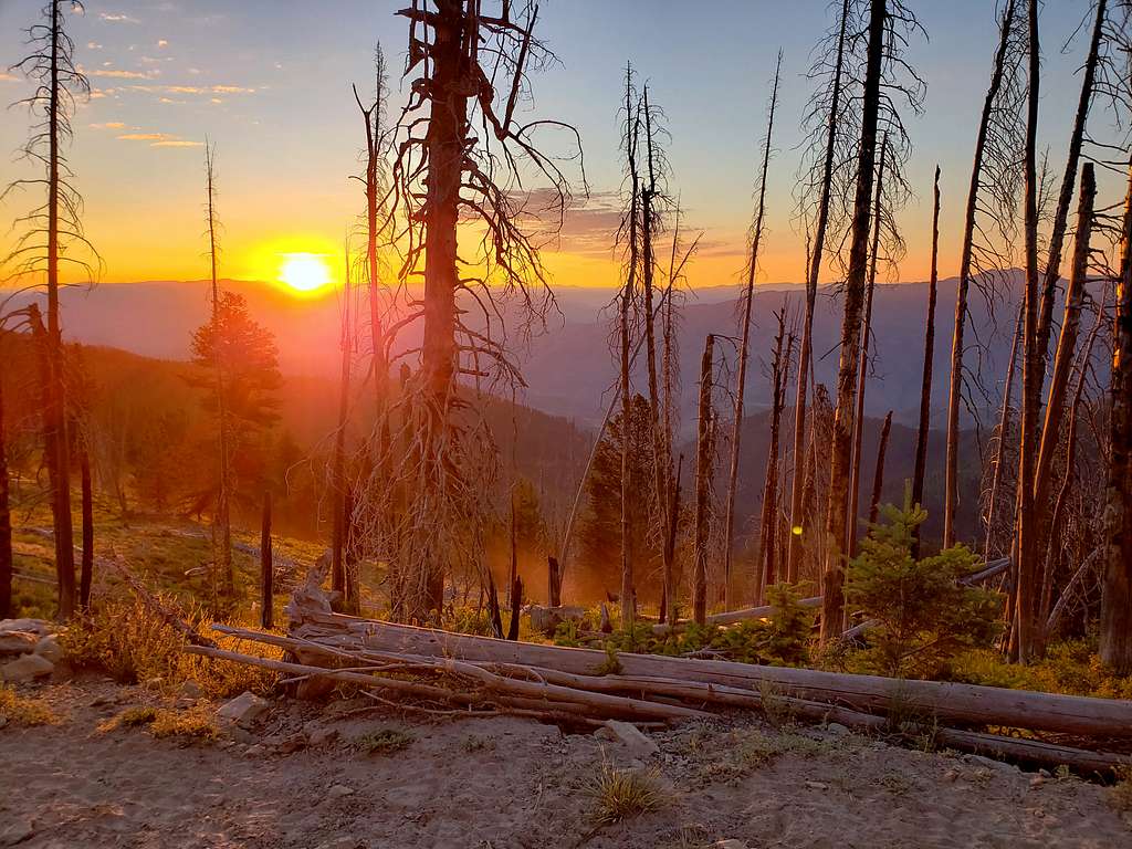
Near Windy Saddle, stopped to see the sunrise.
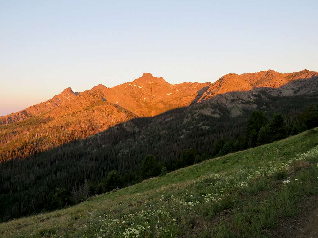
Tower of Babel was glowing in the orange light of the early morning sun.
Reached Windy Saddle Trailhead. A couple of vehicles were at the parking but no one was there. I assumed the vehicles belonged to people camping deep in the mountains. Started my hike at 6:30 AM. It was 58 degrees F and elevation was 7600 ft. Some pesky mosquitos kept bothering me. Began to hike the road that went to Seven Devils Campground. Tower of Babel was no longer in view.
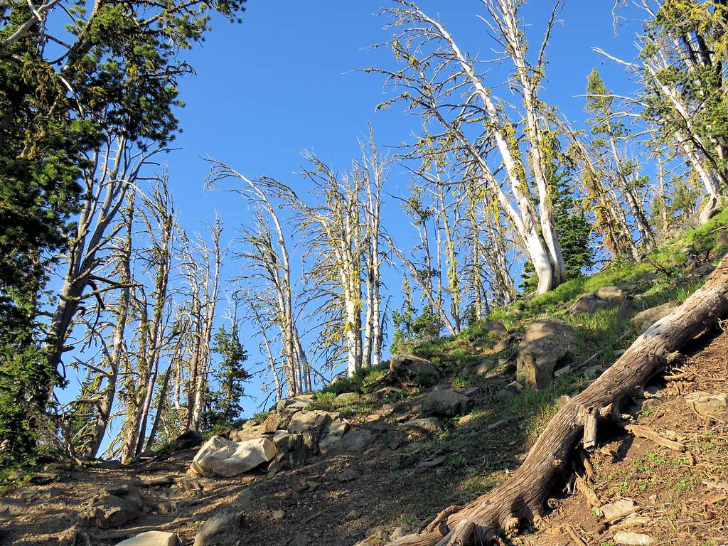
Reached the camp in 0.45 miles. Many vehicles were there, however, I did not see any people. The path to Sheep Lake was unmarked but I had entered it into my GPS. It started at the farthest campsite and went into a forest. I was attacked by a cloud of annoying mosquitos. Had to keep going to minimize their sting. Stopping to take a picture was difficult. That situation lasted for the next half hour or so but then it became much better.
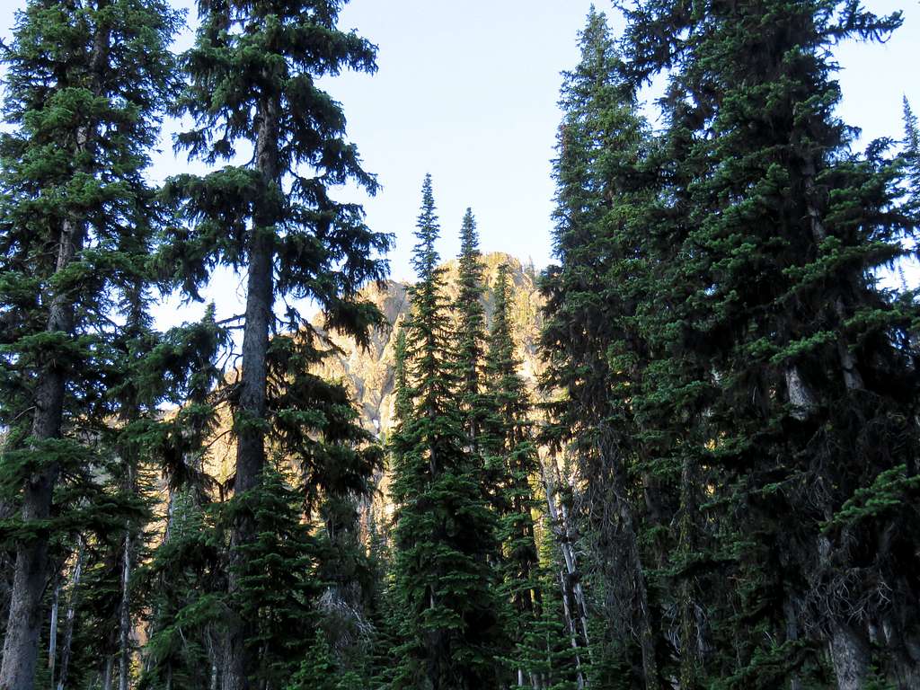
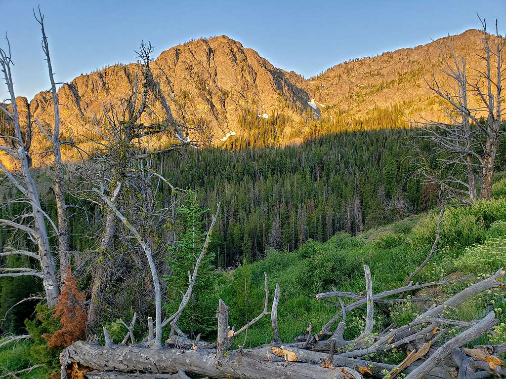
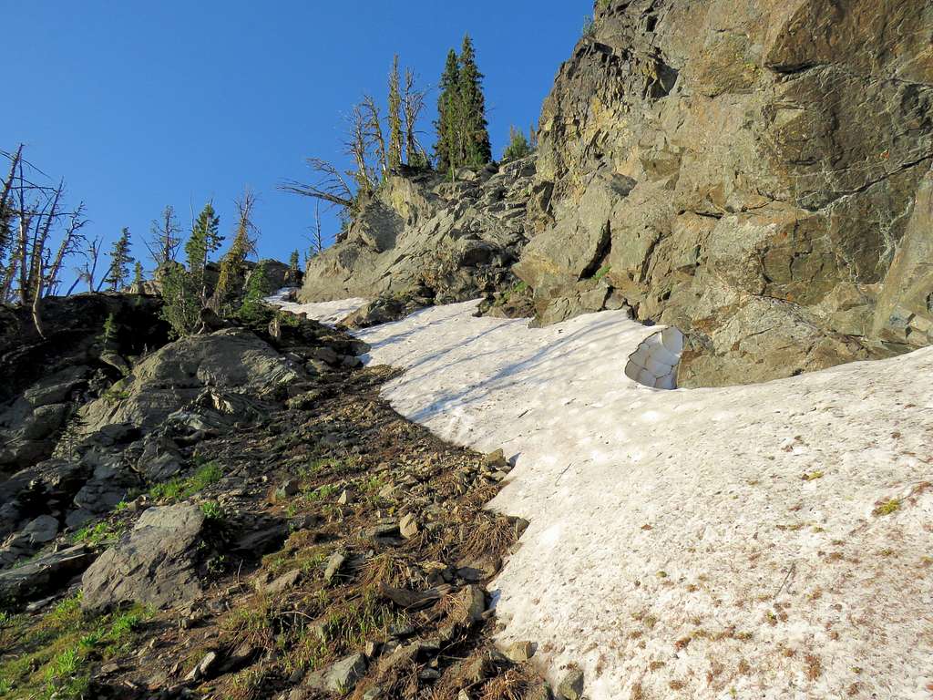
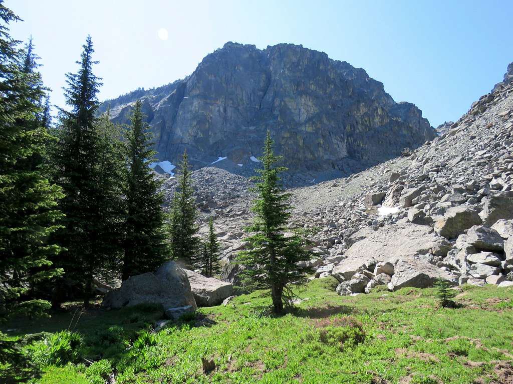
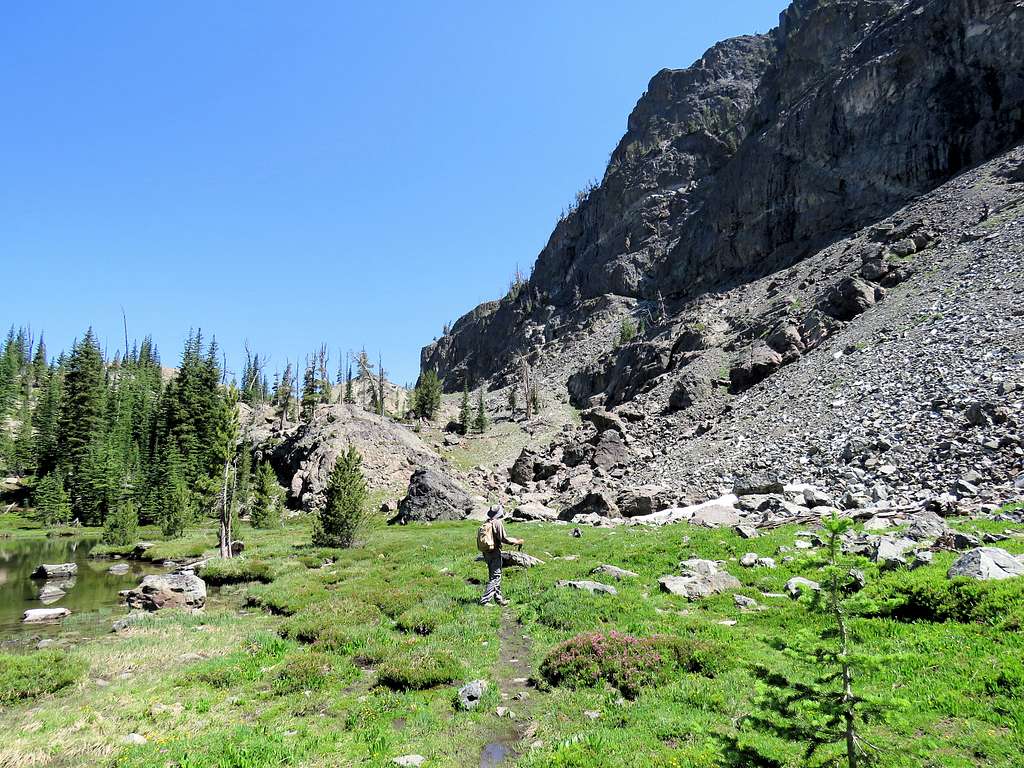
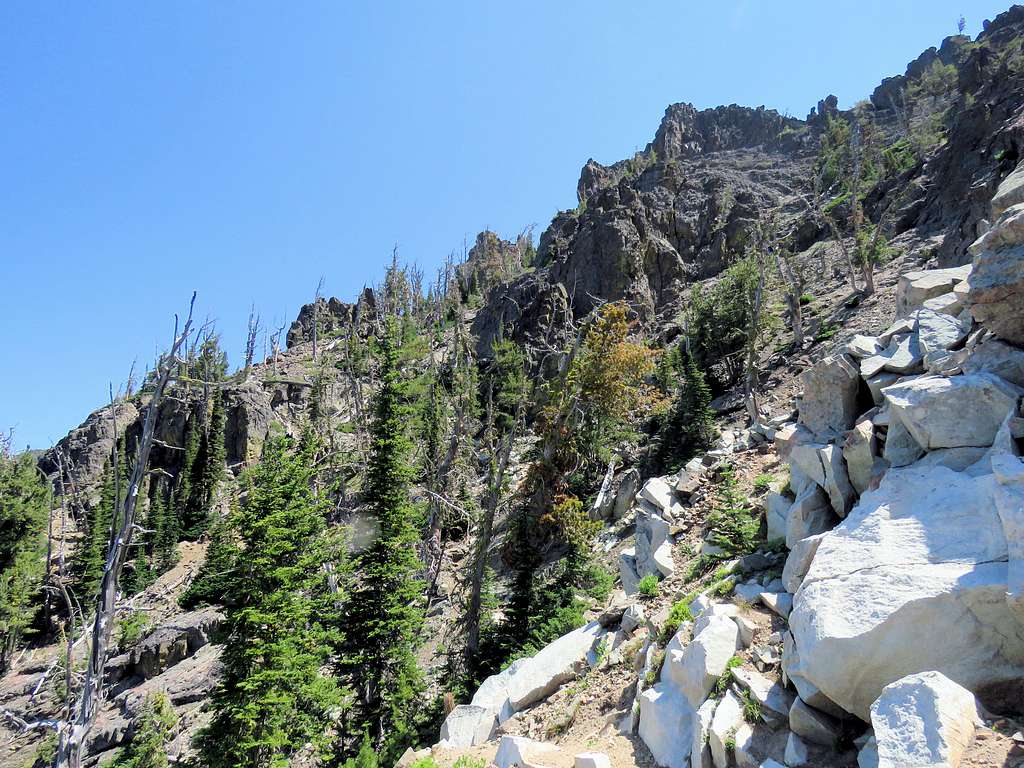
The forest thinned out and the trail went up steeply toward a rocky slope. It was nice to see snow. My hikes in the area during the last 2 days at lower elevations had felt very hot.
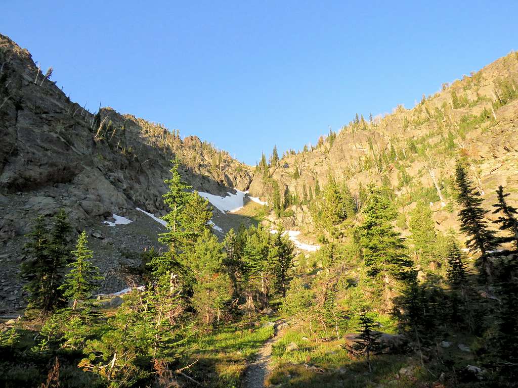
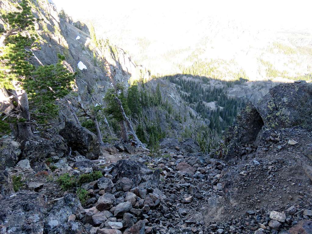
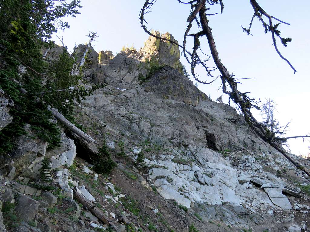
The trail made twists and turns going up a rocky slope.
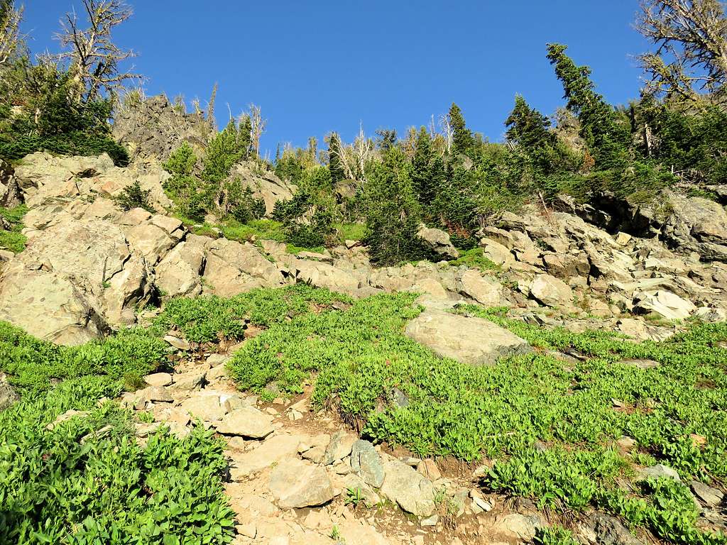
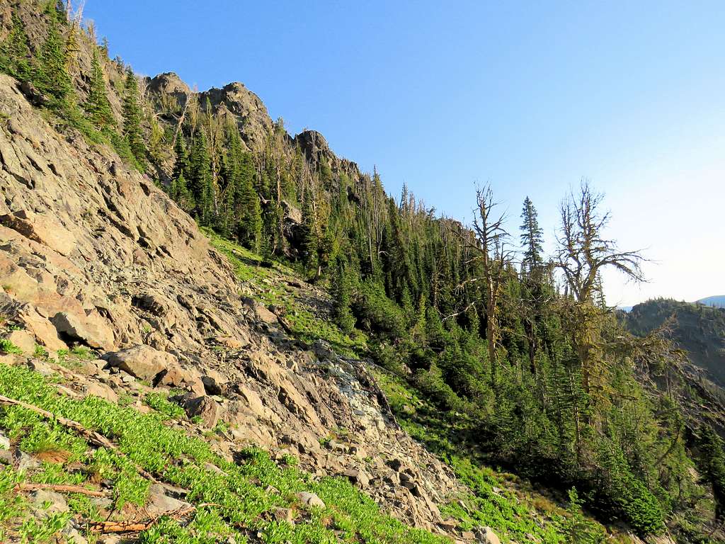
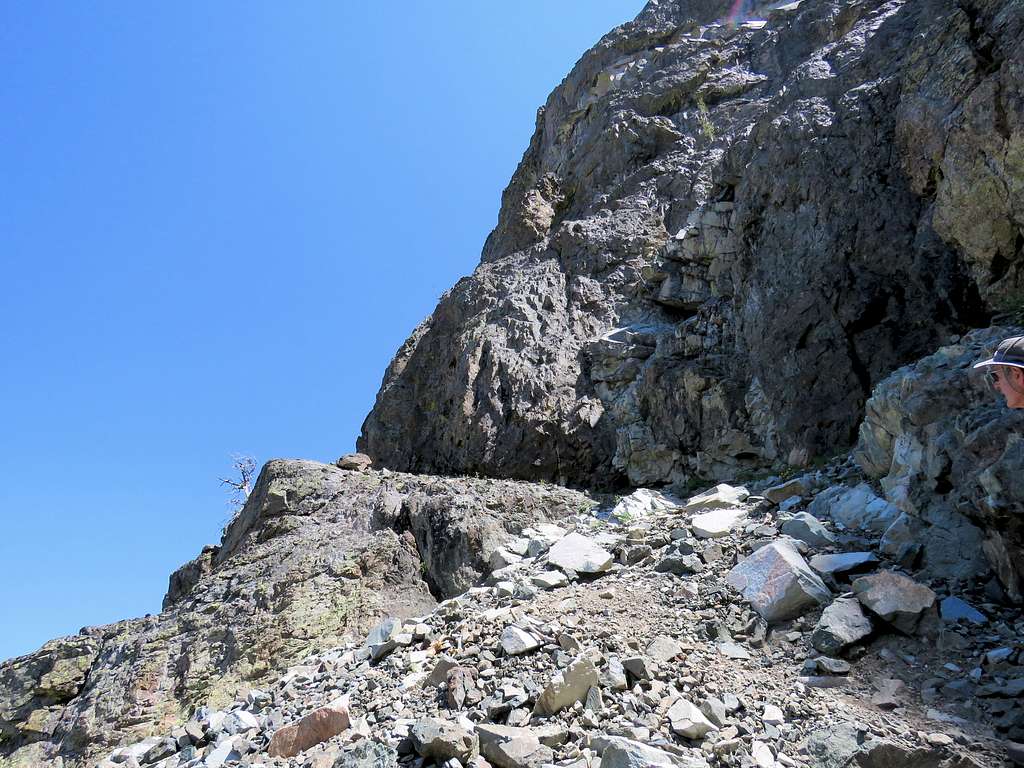
And then this corridor.
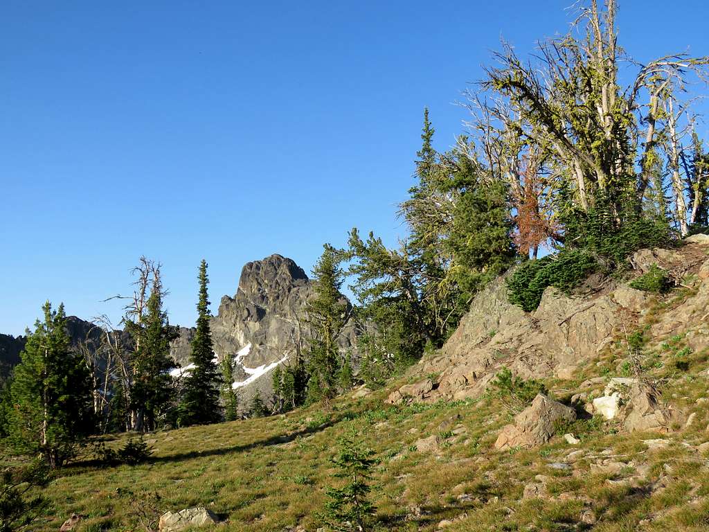
At 8460 ft reached a fairly wide flat saddle. The tip of Tower of Babel soon came to view.
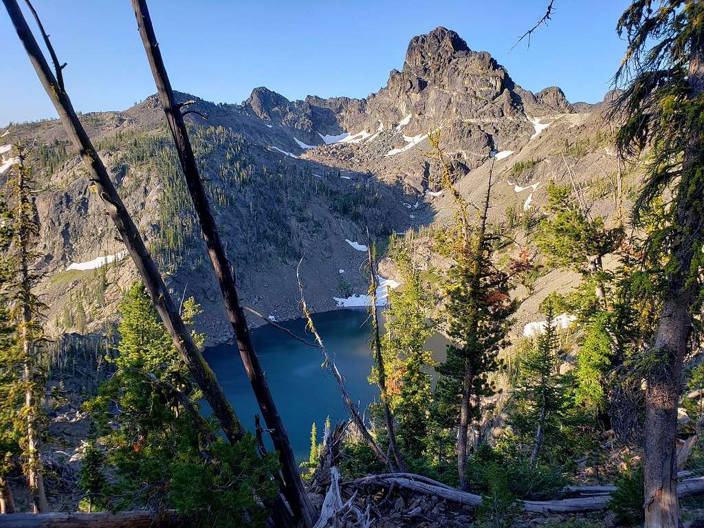
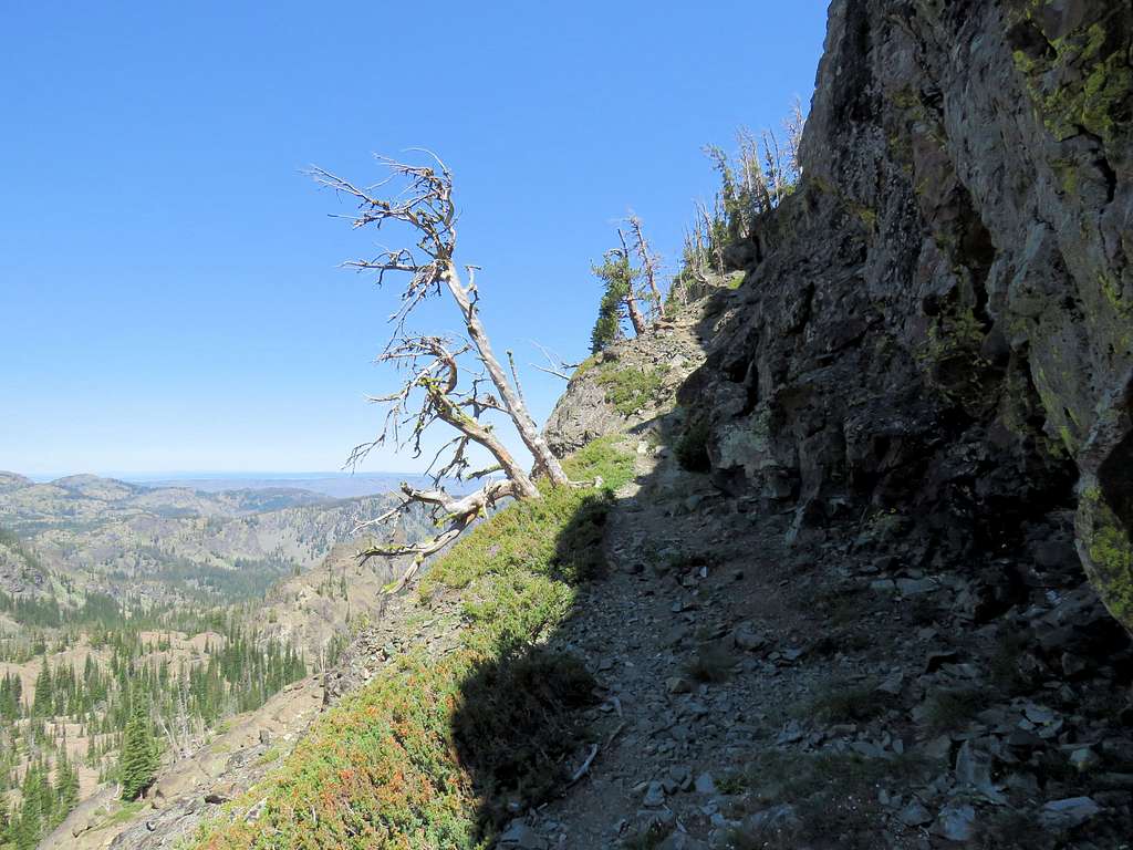
Mirror Lake could then be seen more than 400 feet below at the base of Tower of Babel creating a spectacular scene.
The trail was then traversing the slope above Mirror Lake in a sparsely forested area. In places the trail was not well defined. I reached a lone hiker that seemed to be my age. He said the big saddle was very close. He had been there and said it looked like the trail “dropped down to hell” beyond the saddle. I had read on the internet that the trail was scary so that guy’s talk made me think that I would probably not go beyond the saddle. We went a short distance together to reach the 8540 ft saddle at 8:00 AM and 1.65 miles of hiking. It sure looked like it went down nasty slopes very steeply.
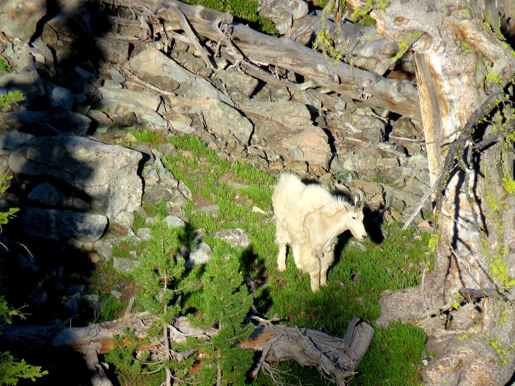
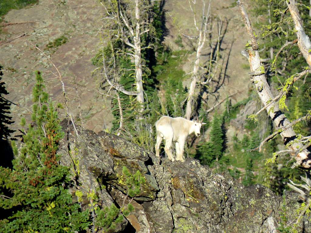
A couple of mountain goats were down the slopes. I took zoomed pictures of them.
I said I would just go to a high point on the ridgeline to Tower of Babel and started to go that way but then thought why should I do that and not stick to my original plan so I returned to the saddle. The guy asked where my original destination was. I told him unnamed Peak 8740 ft and showed it to him on the map. The peak was visible from the saddle.
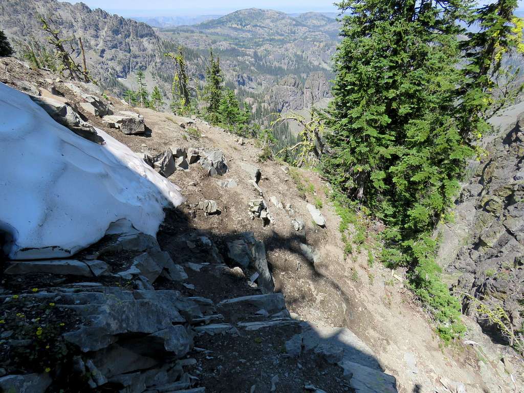
The guy became interested and asked if he could accompany me. I thought it would be good for me too in case the path became too difficult. I never asked his name so I will refer to him as my partner. He had mistaken a much farther and lower lake for Sheep Lake so that is why he had said that the trail went down to hell. I showed him on the map that Sheep Lake was not visible from that spot. We then followed the trail down scree slopes but did not see anything “scary”. In one spot, there was a steep slope with a patch of snow on it and we had to traverse the slope under the snow where there was some exposure but that was only 3 steps.
He said he was retired and was travelling the country hiking all over the place. He had camped at Seven devils Campground so he had started just a little before me.
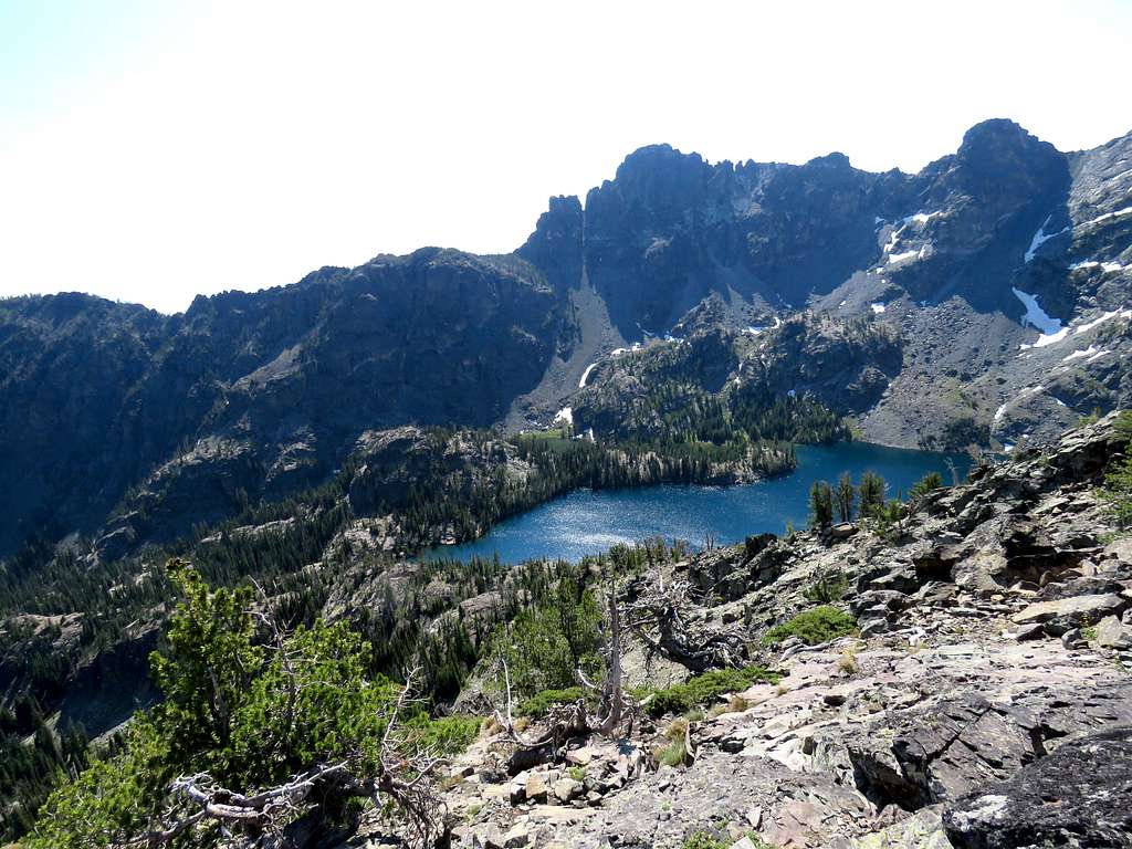
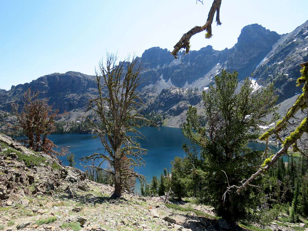
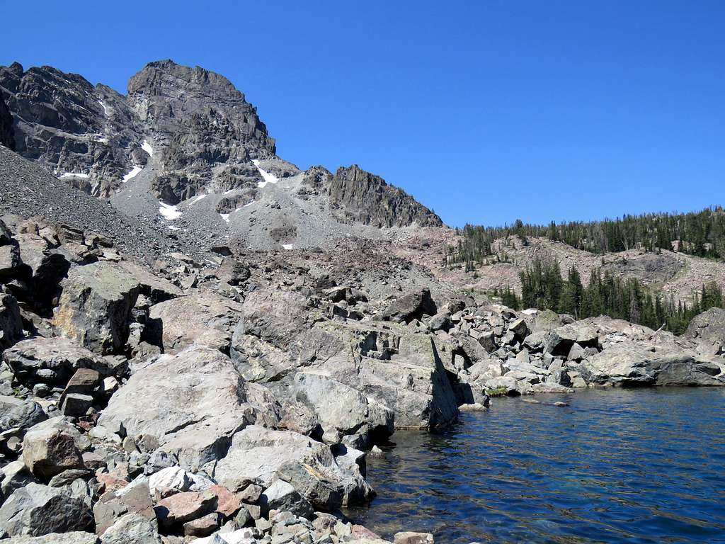
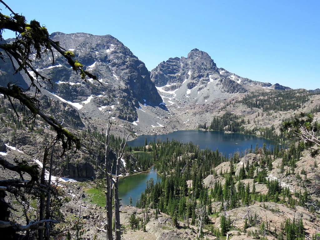
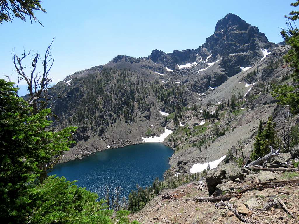
After a turn, Sheep Lake came to view with the jagged She Devil and He Devil rising above it. The trail went down a narrow pathway at the base of a wall. I was expecting to reach more nasty spots but fortunately we never ran into difficulties.
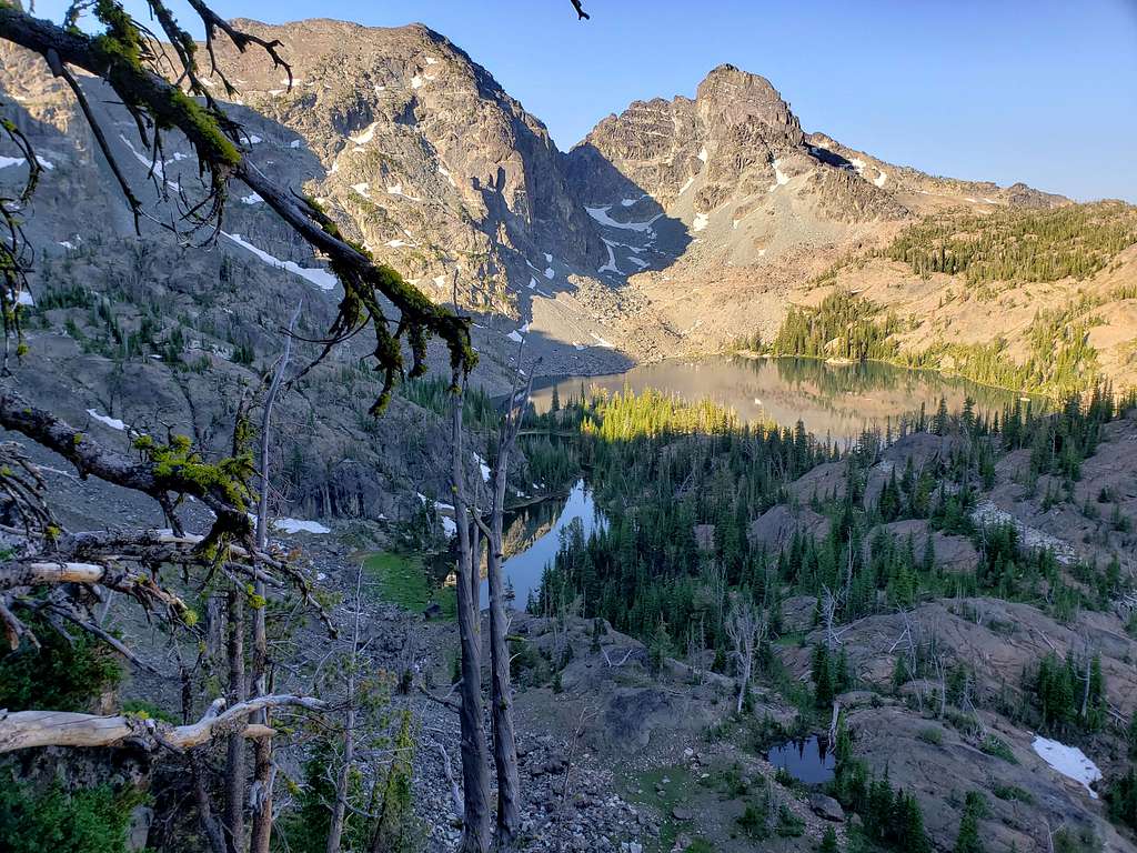
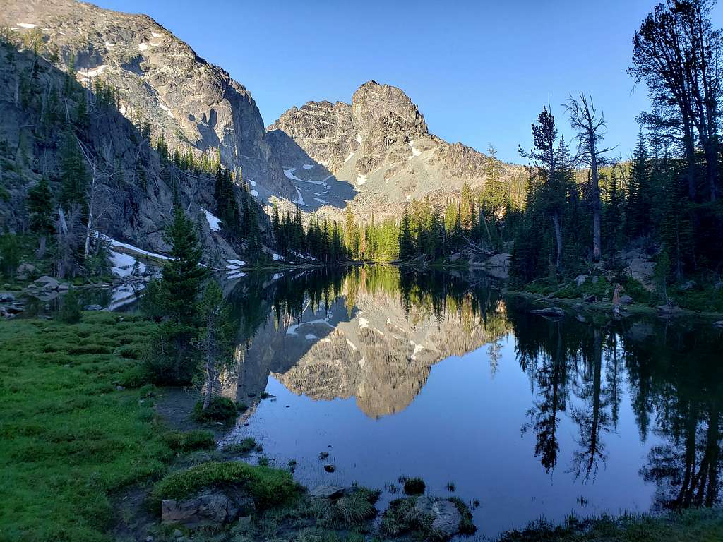
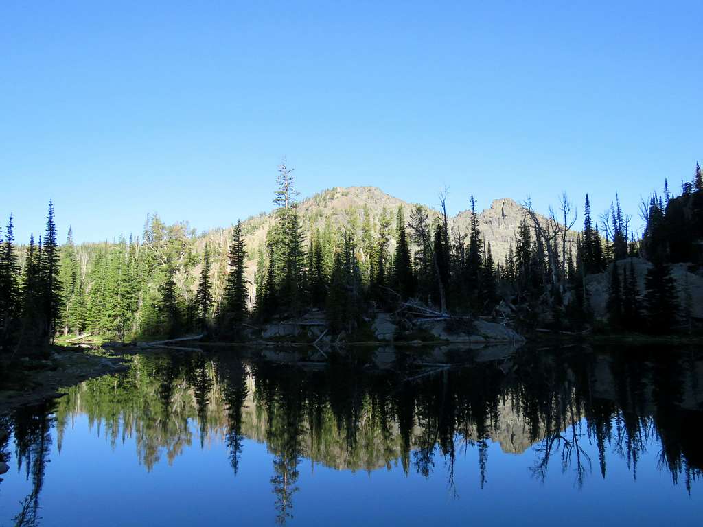
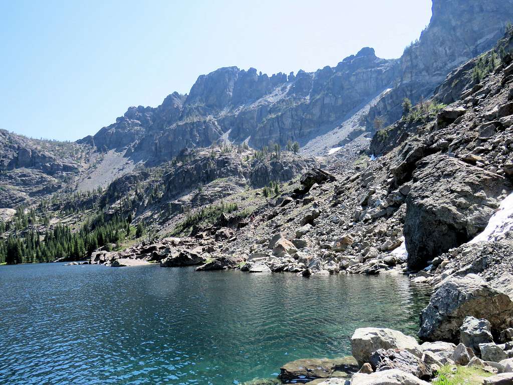
Down a steep scree slope, we finally reached a pond before Sheep Lake. It was a spectacular place. I was pleasantly surprised to see nobody camping there. Elevation was 7880 ft.
We were on the east shores of Sheep Lake. Peak 8740 ft was on the west side.
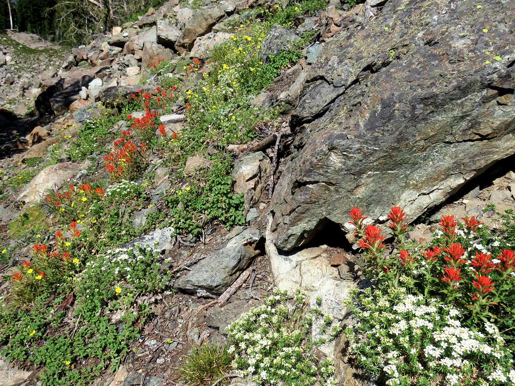
Followed the shore to the south end of the lake where a big boulder field dropped directly into the lake. At the southwestern corner of the lake, the shores became grassy again and a trail began to zigzag up the slopes. Flowers on the trail and He Devil.
Went the wrong way in one spot and I soon noted that on my GPS so we returned to the trail. At 3.72 miles, we reached the 8300 ft saddle. Left the trail and began to walk up a forested slope toward the summit of Peak 8740 ft. Fortunately, there was not much bushwhacking to be done.
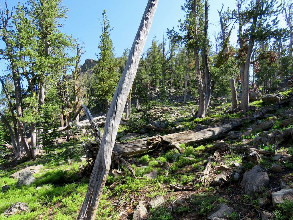
Reached the summit after 4.07 miles of hiking. The views were breath taking. My partner thanked me a lot saying without me, he would have gone back at the saddle and he would have never thought of climbing a nameless and trail-less peak to get that kind of a view. We sat there to eat, rest and take pictures.
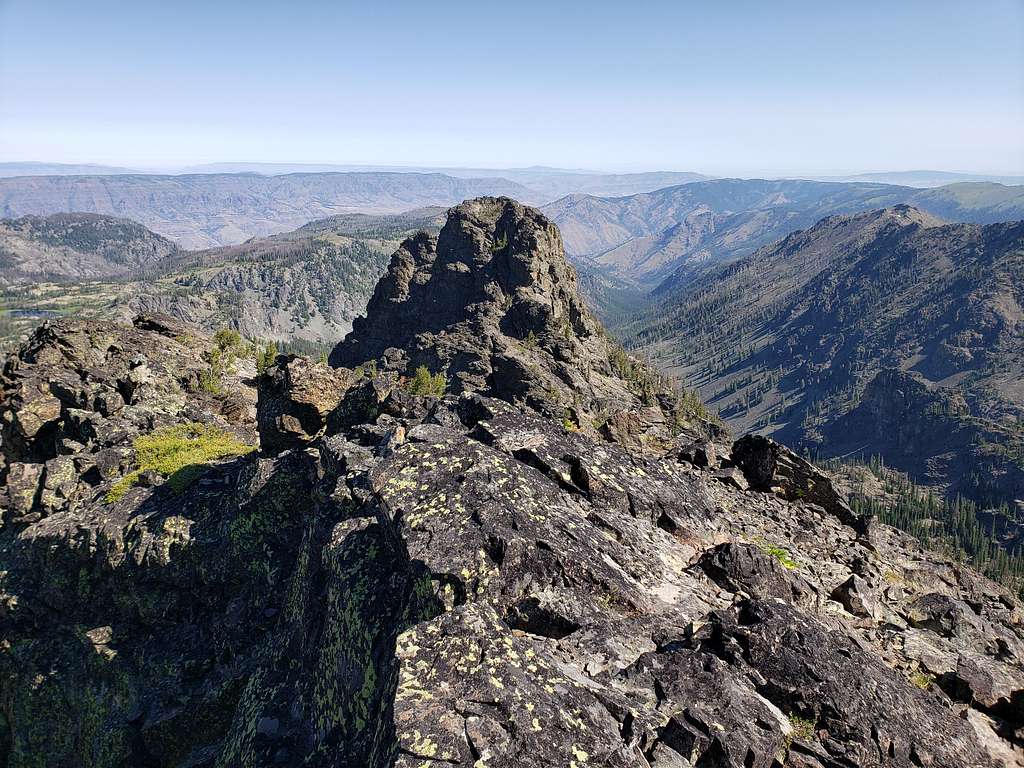
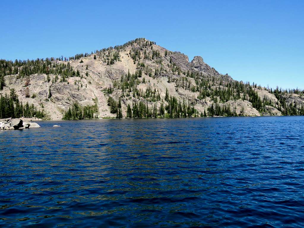
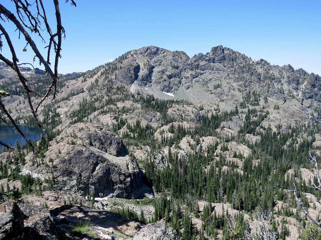
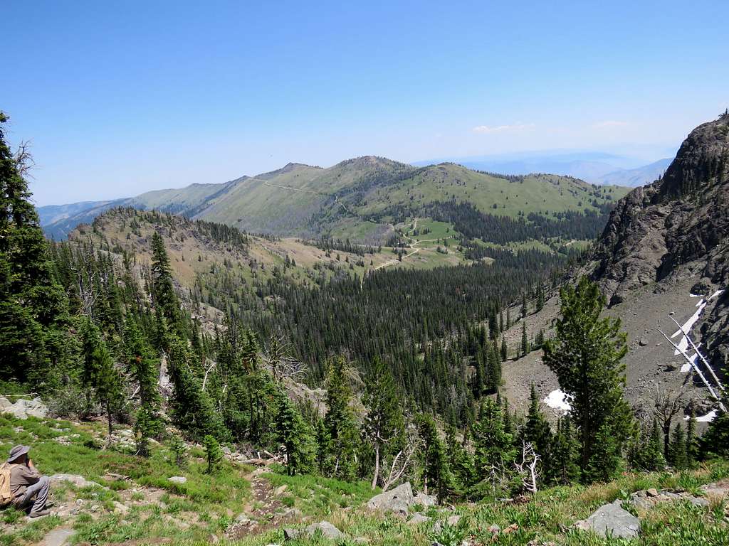
Looking north at Point 8660 ft.
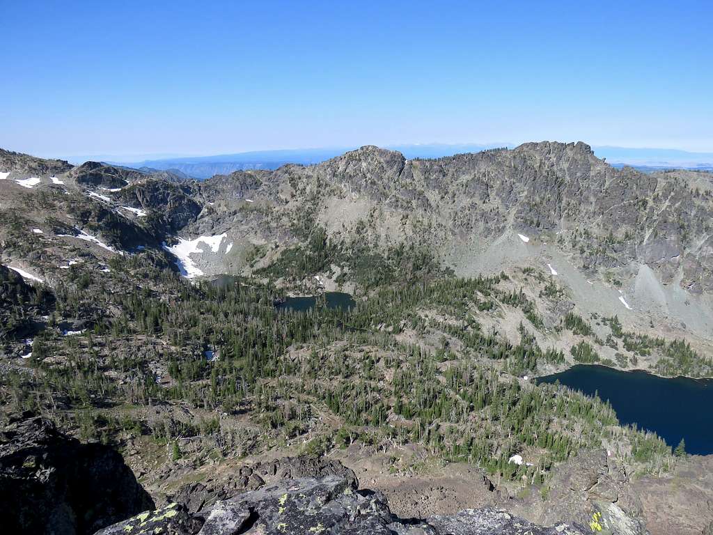
Gem, Rock Island and Appendix Lakes to the west.
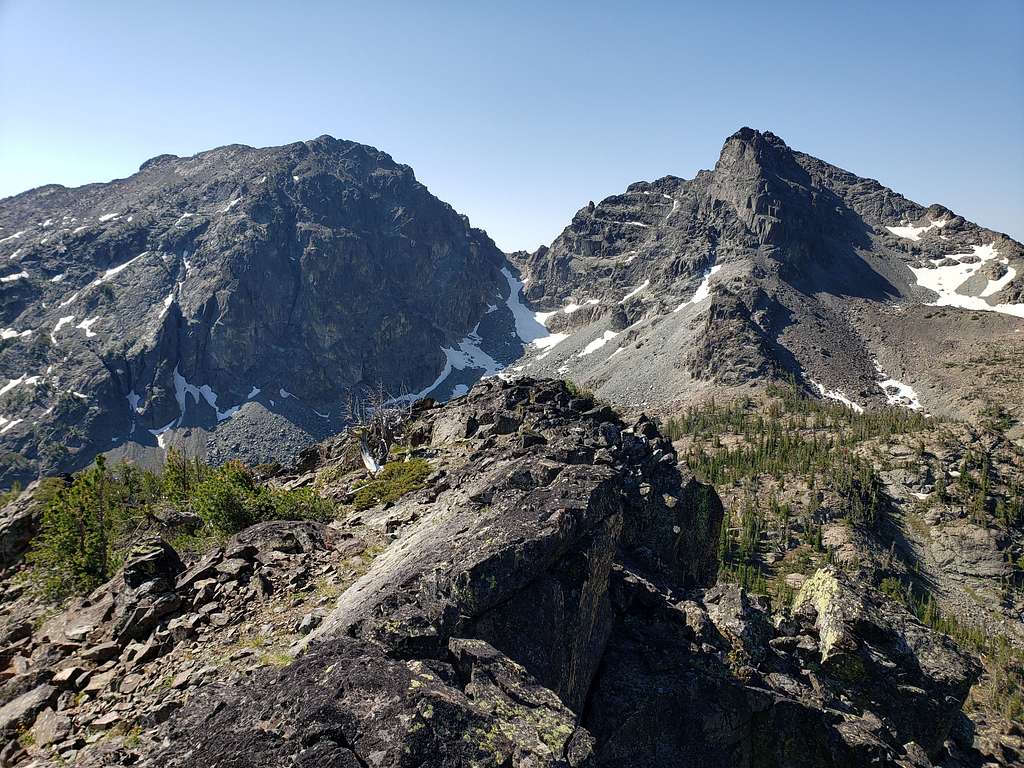
He Devil and She Devil to the south.
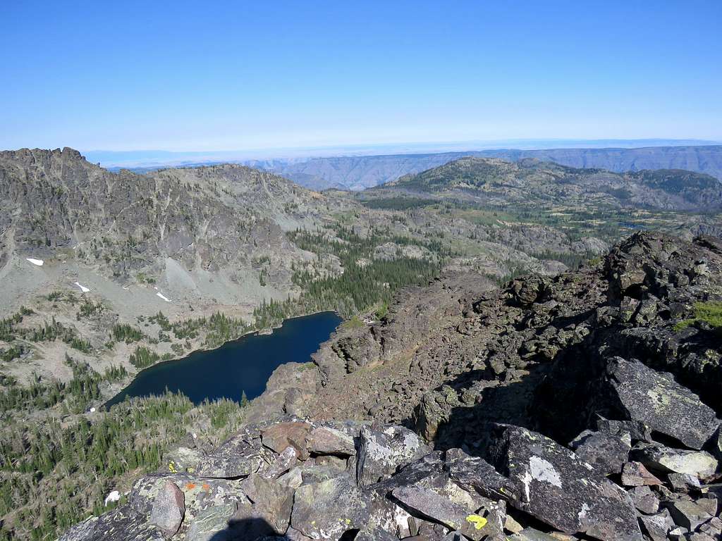
Sheep Lake with Tower of Babel and Mt. Baal to the east.
Zoomed view of the 8540 ft saddle.
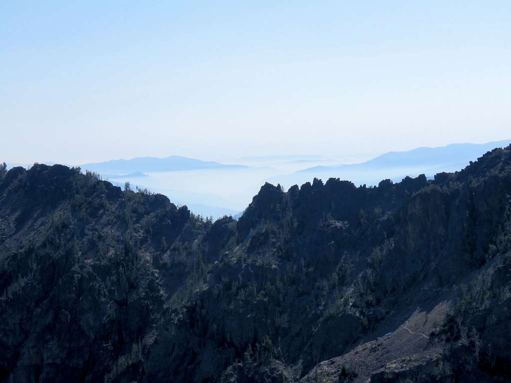
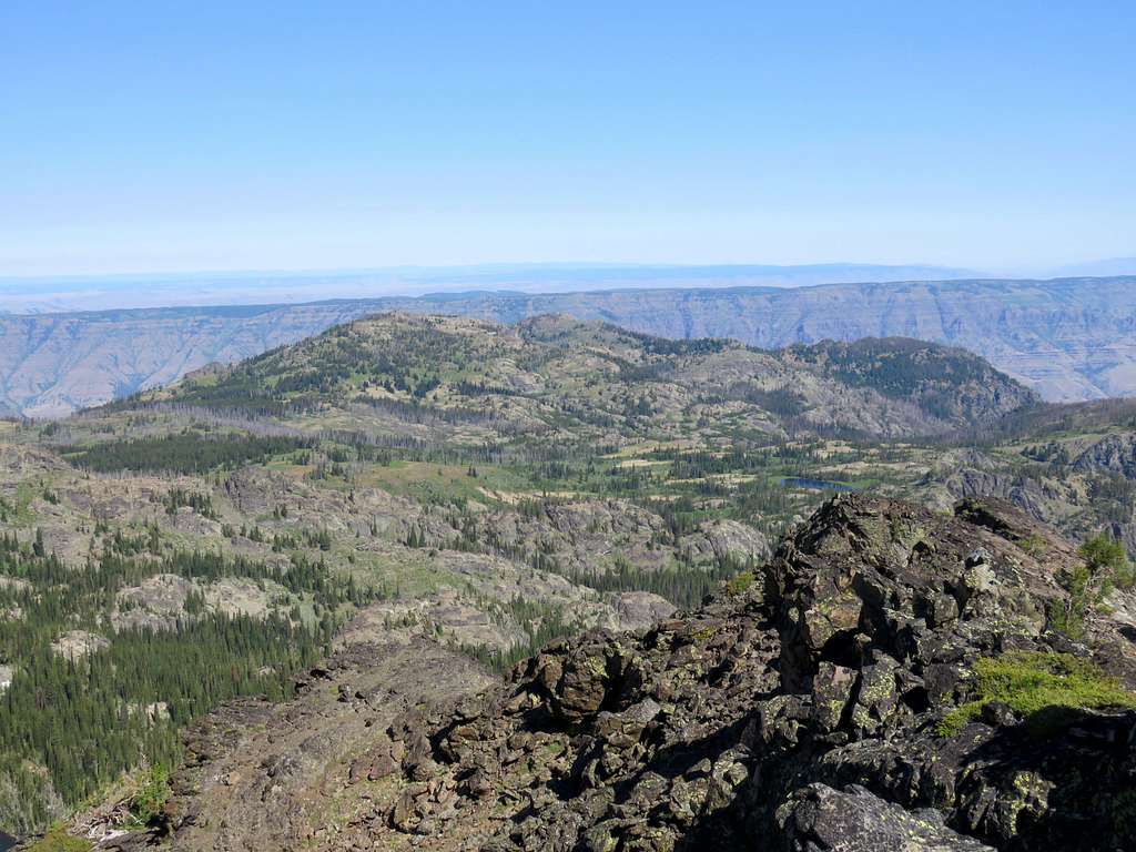
Dry Diggins Lookout and the upper parts of the western (Oregon) side of the walls of Hells Canyon.
Left after 20 minutes and went down the slope to reach the trail, then went down to Sheep Lake again.
On the boulder field, we ran into a couple, later saw 3 other sets of hikers.
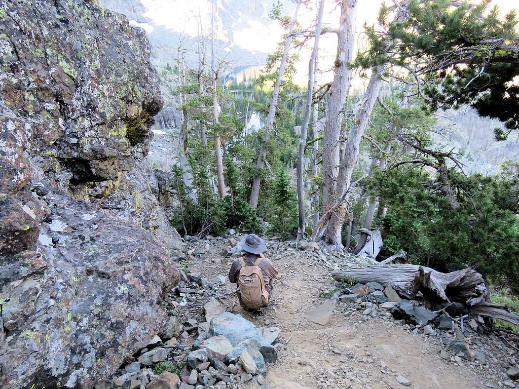
Just before the big uphill to the 8540 ft saddle.
Up the pathway.
A look back at He Devil and She Devil.
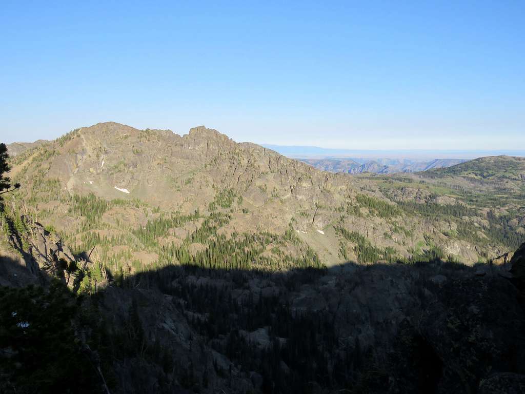
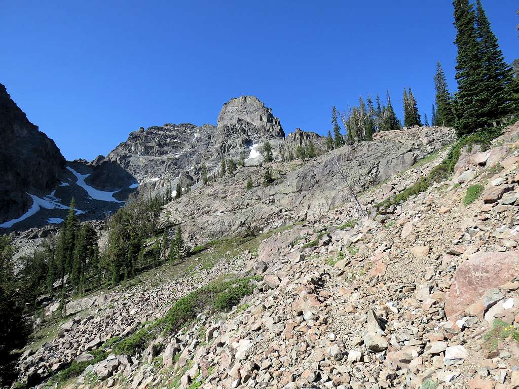
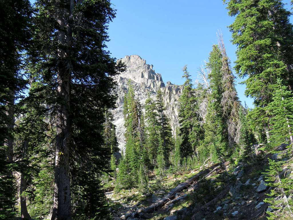
Peak 8740 ft.
Toward the 8540 ft saddle.
Under the patch of snow with exposure.
Reached the 8540 ft saddle after 6.37 miles of hiking. Sat there to drink and rest a little.
Another view of Tower of Babel and Mirror Lake.
Windy saddle Trailhead with Heavens Gate Peak.
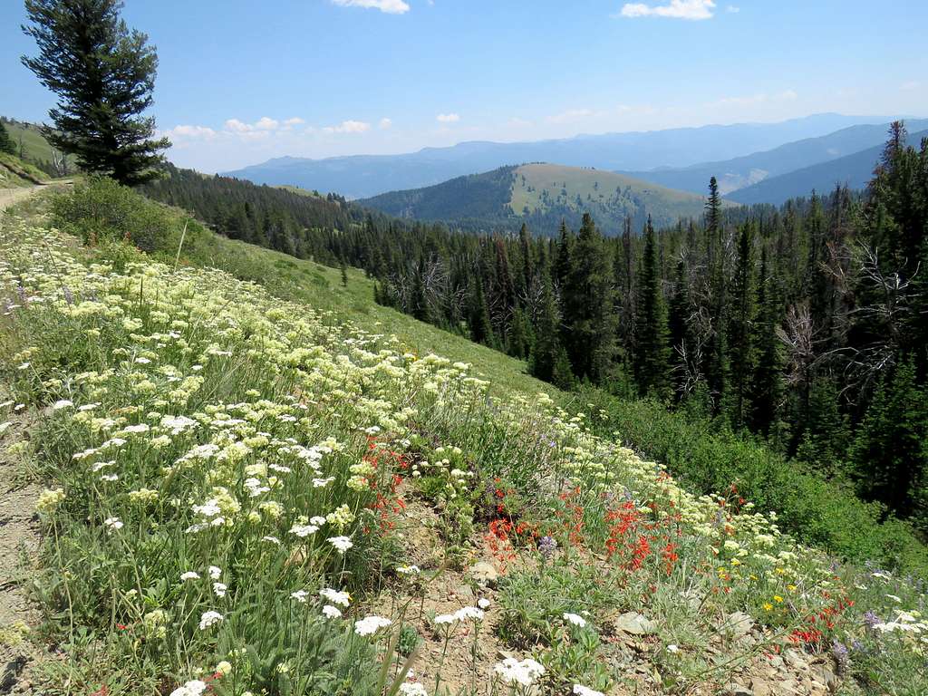
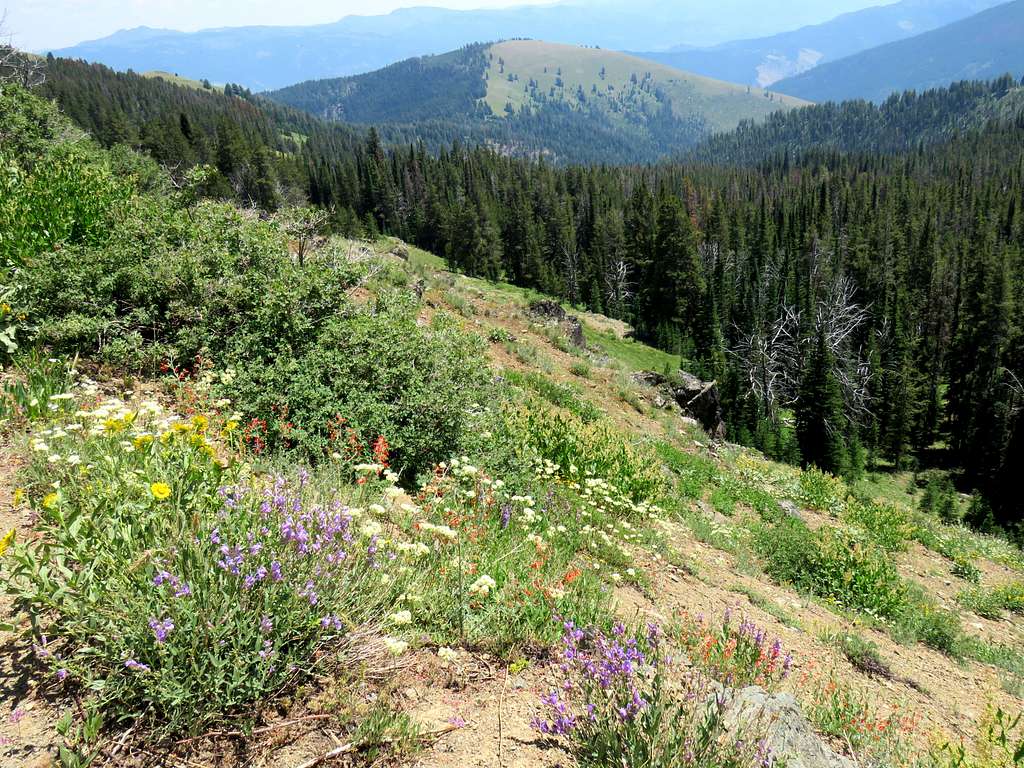
Reached the campground and said goodbye to my partner, then walked the road back to trailhead. Views of Cannon Ball Mountain and the flowers by the road.
Was at the Jeep at 12:55 PM and 7.90 miles of hiking.
Red Tape
No fees or permits for day hikes
When to Climb
Summer