
|
|
Mountain/Rock |
|---|---|
|
|
37.67241°N / 107.76648°W |
|
|
San Juan |
|
|
Mountaineering |
|
|
Summer |
|
|
11871 ft / 3618 m |
|
|
Overview
Rank: Potato Hill is Colorado’s 1368th highest peak
Prominence: 1251 ft
More like “Potato Impressive Peak” than “Potato Hill”!
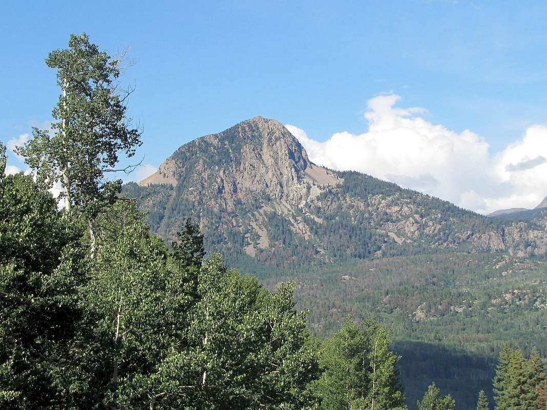
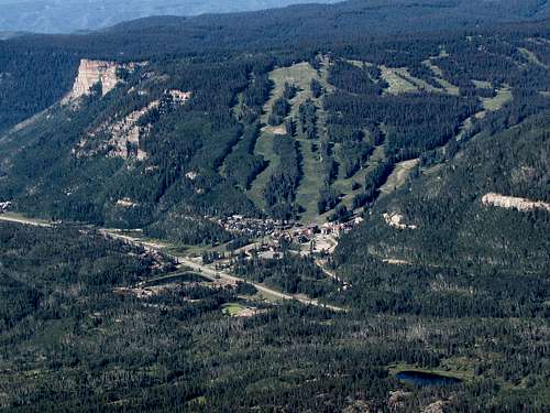
Potato Hill is a prominent peak that rises to the east of Route 550 in the San Juan Mountains of Southwestern Colorado to the north of Durango Mountain Resort (Purgatory Ski Area). To the east and west, Lime Creek and Mill Creek carve canyons that go thousands of feet below the summit of Potato Hill. The south face of Potato Hill creates an impressive wall that is well visible from Purgatory Ski Slopes. The only connection that Potato Hill makes with its nearby mountains happens at the 10620 ft Coal Bank Pass to the north on Route 550.
No trails go to or near the summit of Potato Hill. Reaching its summit requires you to find your own route. This is usually done from the north via Coal Bank Pass or from the west via a nonspecific spot on Route 550. A challenging route from the south via Potato Lake has also been described (reaching Potato Lake requires a four wheel drive vehicle).
This info per SP member Kiefer: Potato Hill or "The Spud", was named after "Potato" John Raymond, a well-known camp cook on many of the early geological surveys in the area of the San Juan's.

Getting There
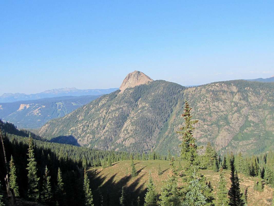
Coal bank pass is 33 miles north of Durango (or 14 miles south of Silverton) on Route 550. Parking is available at the pass. Potato Hill on the left
Route, from Coal Bank Pass, no trail
 Map Map |
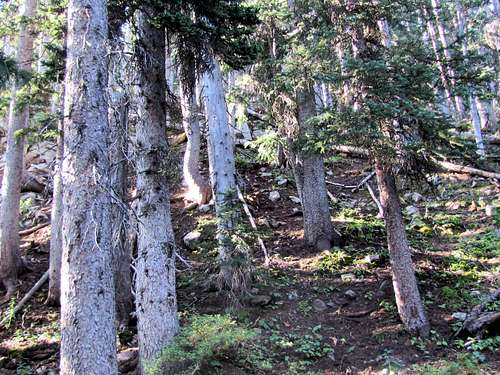
The biggest obstacle in the forest was the endless number of dead fallen pine trees. It took me 3 hours to hike the 2 mile distance.
Elevation at start of Hike: 10620 ft
Potato Hill Summit: 11871 ft
One Way Hiking Distance per my GPS: 2.05 miles
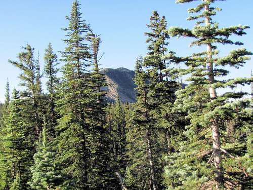
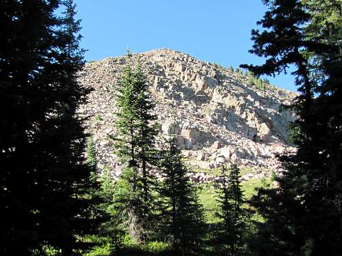
One Way Hiking Time: 3 hoursAt Coal Bank Pass, the tip of Potato Hill was visible to the south.
I headed south into the forest. As soon as I entered the forest, this view went away and I did not see potato Hill until an hour later.
 |  |
 |  |
Dead fallen trees made my progress extremely slow.
 |  |
 |  |
After an hour, the summit of Potato Hill came to view but as I went further south, it hid behind the trees again.
 First view of the summit First view of the summit |
After a lot of ups and downs, at an elevation of 11150 ft, I reached a steep tree covered slope that I knew was the base of the summit of Potato Hill. Went directly up this slope.
 |
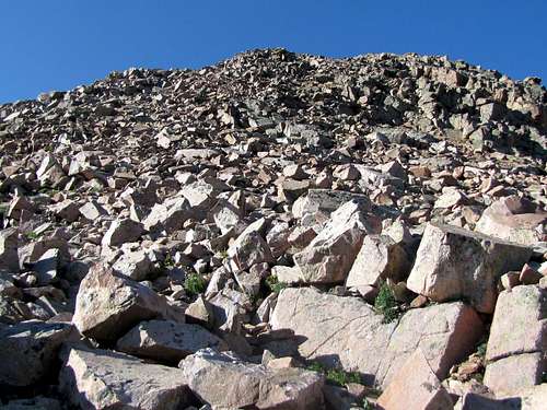
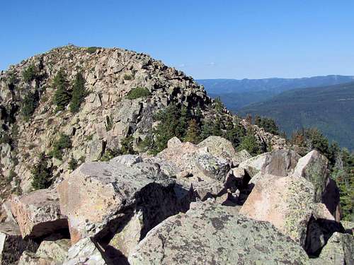
The forest finally ended at around 11450 ft. A big pile of boulders came to view.
 End of forest End of forest |
Going up the boulder field.
 |
I then reached a high point. What I thought was the summit of Potato Hill appeared. This turned out to be a false summit.
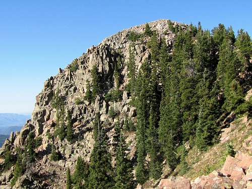 False summit False summit |
A somewhat narrow boulder covered ridge-top went toward the false summit. Nothing technical here but some scrambling and boulder hopping was required. Looking back from the false summit.
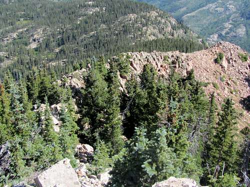 Looking back at ridgetop Looking back at ridgetop |
True summit from false summit.
 True summit from false summit True summit from false summit |
A little more scrambling below a ridge-top took me to the true summit.
 |  |
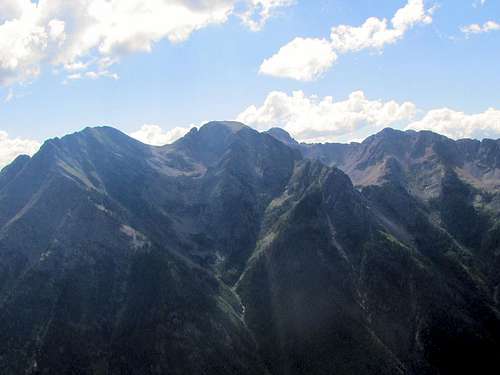
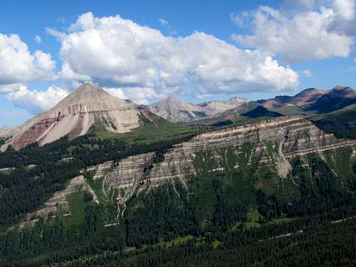
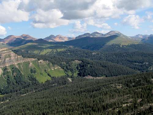
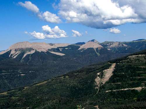
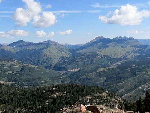
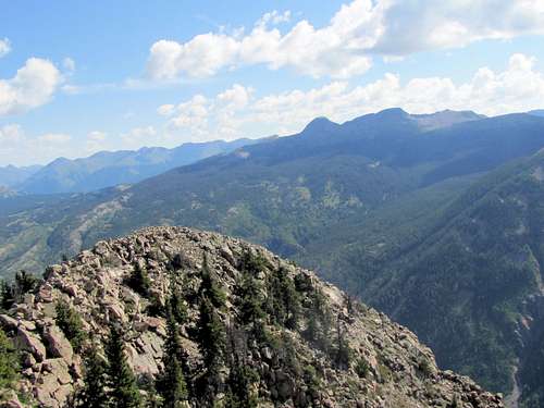
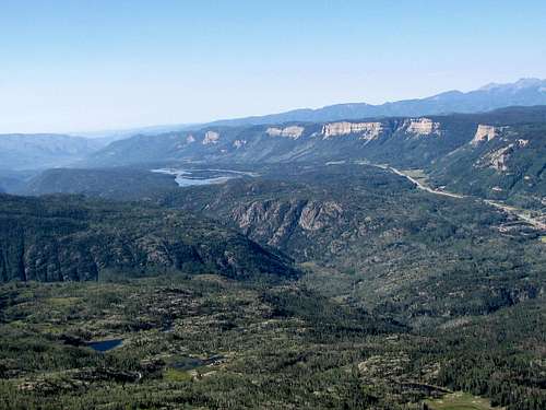
Views from the summit of Potato Hill:
Kiefer - Jul 20, 2022 6:13 am - Voted 10/10
HistoryI came across this a few days ago and I noticed it's not listed on your page, thought I's share. Potato Hill or what some of us locals (I live at Purg) call, The Spud, was named after "Potato" John Raymond, a well-known camp cook on many of the early geological surveys in the area of the San Juan's.
nader - Jul 20, 2022 10:15 am - Hasn't voted
Re: HistoryThank for the info, I put it in the main text and of course the whole format of the page got messed up (new editor, old editor, ancient editor etc...) and adds popping up all over the place. Sorry about the whining. Living in purgatory? Nice place.