-
 4287 Hits
-
 76.66% Score
-
 7 Votes
|
|
Mountain/Rock |
|---|---|
|
|
47.31249°N / 11.37489°E |
|
|
Trad Climbing, Via Ferrata |
|
|
Summer, Fall |
|
|
8022 ft / 2445 m |
|
|
Overview
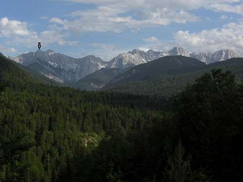
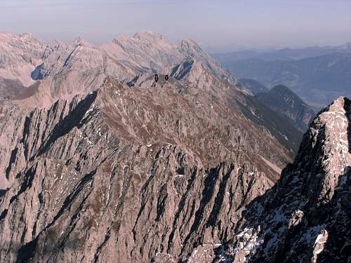
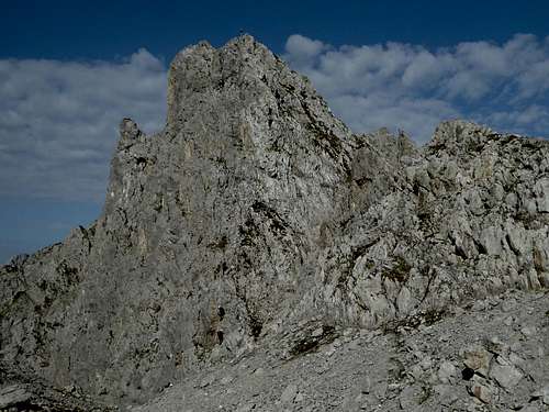
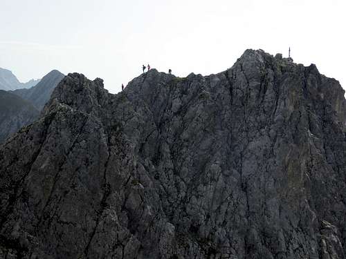
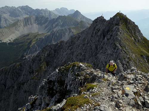
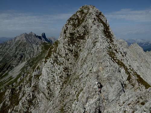
High above the town of Innsbruck but not very prominent are located some peaks, which are named Kaminspitzen (Chimney Peaks). There is a Westliche Kaminspitze (2445 m) close to the summit of Kemacher to the west, Östliche Kaminspitze (2379 m) near the minor peak of Seegrubenspitze and the mountain station of Hafelekar cablecar to the east and Mittlere Kaminspitze (2435 m) located in the middle of the two other chimneys, as the denomination indicates clearly enough.
Peak baggers will love that!
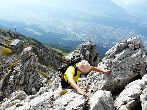
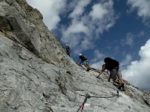
Belonging as minor summits to the Inntal group and the southernmost range of Karwendel, often called “Nordkette” (confusing, but it is the Karwendel range north of Innsbruck), few people would care about Kaminspitzen if … yes if there was not an idea many years ago to create a Via Ferrata. It is the Innsbrucker Klettersteig between Frau Hit col and the Hafelekar cablecar thus lacing up these peaks with iron cables and tying them together for thousands and thousands of more or less skilled Via Ferrata lovers. Most times less skilled ones :-)))
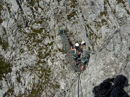
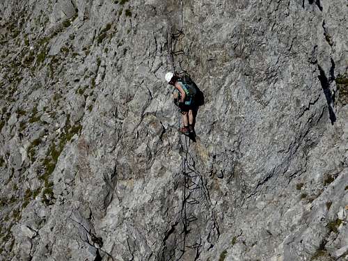
Now these peaks have to endure the dull and constant “clack – clack" of the self-belaying mountaineers and the also constant posing for selfies and fotos on the famous (but nonetheless not very spectacular) suspension bridge somewhere between Kaminspitzen and Kemacher. I did that, too. Few clack - clacks and some posing ....
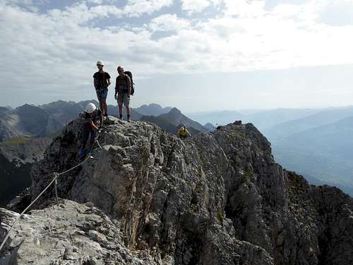
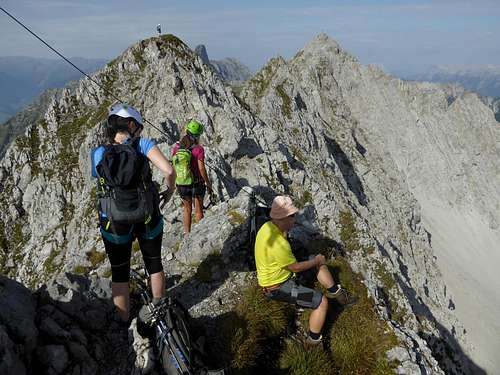
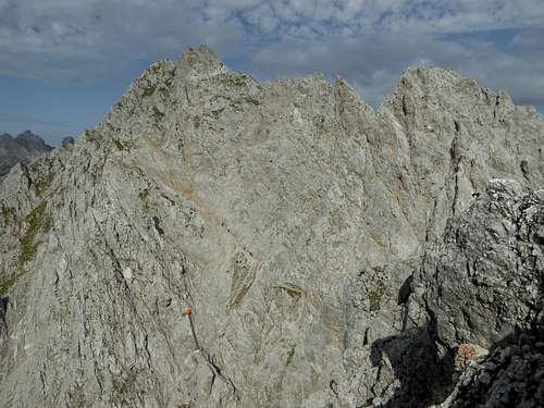
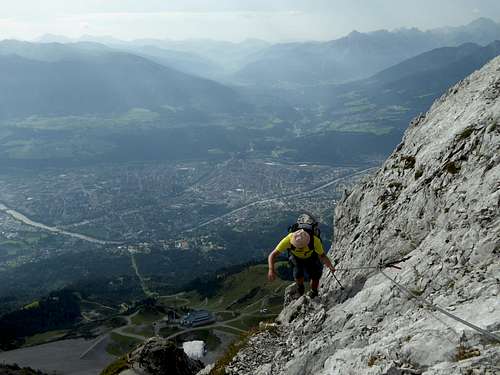
Nevertheless it can be fun scrambling up and down the many peaks, notches, subridges, short aretes, slabs and rock faces, using or not using the abundant cables and iron pegs and savouring the great views to all sides.It was fun and I found it not amusing to bail out of the Innsbrucker Klettersteig at Langer Sattel due to threatening thunderstorms. Nevertheless a wise decision. One hour later while running down the mountain in a real downpour a lightning slammed into ground some 20 meters away from me ...
Getting There
Best trailheads are at the mountain stations of the Innsbruck cableway Nordkettenbahn:
- Station Seegrube (2nd section) or
- Station Hafelekar (3d section)
You reach Innsbruck via highway A 8, A 93 (Germany) and A 12 (Austria, toll road) from Salzburg or Munich direction or on A 12 coming from Landeck direction.
Leave the highway at exit Innsbruck Mitte and proceed to Rennweg road for the first section of the Nordkettenbahn (the so called Hungerburgbahn) or follow the signs to Hungerburg, north of and about 200 m above Innsbruck center. Höhenstraße road leads you there.
Check in to the second section to Seegrube and third section to Hafelekar.
If you don´t want to use the cablecar, park at the second section valley station at Innsbruck Hungerburg. Long ascents / descents!
Best railway station is for shure Innsbruck main station. Busses are available for Hungerburg and Rennweg trailheads.
Route
Trailhead Hafelekar mountain station
Follow the signposts to Innsbrucker Klettersteig to the east. There is a sort of a crux at the beginning of the via ferrata (rated “C”), 10 minutes from the cable car, be quick or queue up …
Follow the Innsbrucker Klettersteig to the summits of Kaminspitzen. In most cases mountaineers proceed to the summit of Kemacher, Langer Sattel and up to Östliche Sattelspitze where the second part of Innsbrucker Klettersteig starts.
Trailhead Seegrube cablecar station
Take trail number 216 up to Hafelekar cable car station and proceed as described above.
Alternatively take Schmiedhuber trail east, at the first trail junction take the right hand trail up to Langer Sattel. Turn right there and follow the Innsbrucker Klettersteig up to Kemacher, using its rocky east ridge. Proceed on the Innbrucker Klettersteig to Kaminspitzen.
Trailhead Hungerburg
Follow the forest road to Umbrüggler Alm and take trail number 215 (Nisslsteig) up to Höttinger Alm (drinks, food, lodging). A sparsely marked, steep trail takes you up to Langer Sattel. Follow the east ridge to Kemacher and the Innsbrucker Klettersteig to Kaminspitzen. Huge altitude difference: about 1.700 m.
I recommend a start at Hafelekar, the whole Innsbrucker Klettersteig to Frau Hitt Sattel and a descent to Hungerburg. Strong mountaineers include Vorderes Brandjoch from Frau Hitt Sattel.
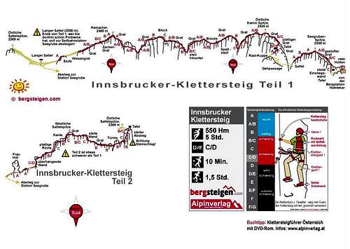
Innsbrucker Klettersteig Topo:
Red Tape & Accommodation
Red Tape
The ridge Kaminspitzen to Kemacher and the whole western part of Kemacher belong to the Alpenpark Karwendel, an important and strictly protected national park.
There is no entrance fee for the park but many regulations to follow.
Please respect the following rules in the National Park:

Accommodation
Innsbruck and surrounding
Gear & Mountain Condition
Kaminspitzen require a via ferrata kit with self belay and helmet. As Innsbrucker Klettersteig is very frequented on sunny days a helmet is a must!
The traverse of Kaminspitzen / Kemacher is rated A – C. You should have some experience with rock and via ferrata.
The summits are a summer and autumn undertaking.
Map & Guide Book
Alpenvereinskarte scale 1 : 25.000, number 5/1, Karwendelgebirge westliches Blatt, 2013, with UTM-grid
Klettersteige Bayern - Vorarlberg - Tirol, Rother Klettersteigführer, 11th edition, 2016


