-
 7385 Hits
-
 84.82% Score
-
 19 Votes
|
|
Mountain/Rock |
|---|---|
|
|
46.66000°N / 12.73000°E |
|
|
8503 ft / 2592 m |
|
|
Overview
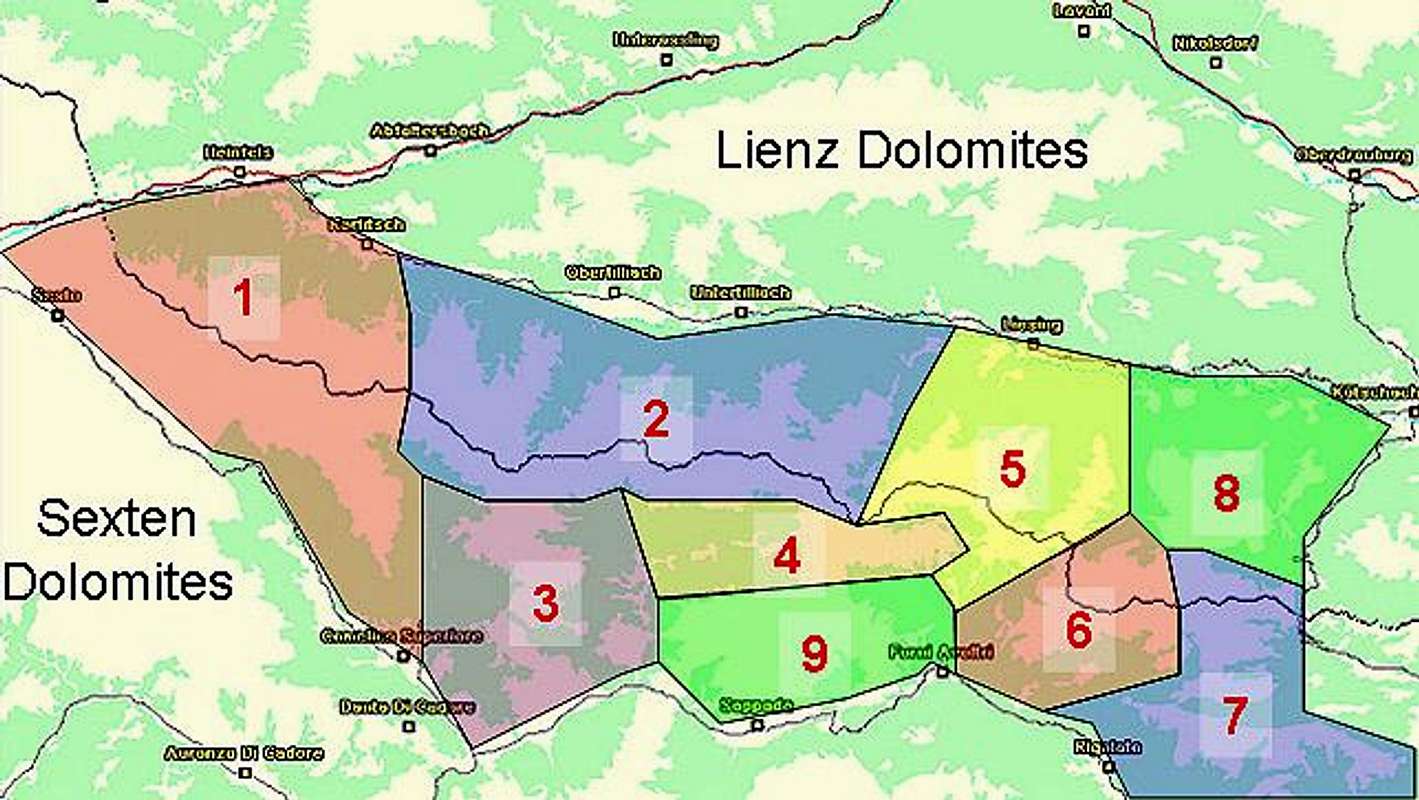
Geographical Classification : Eastern Alps > Carnic Alps > Carnic Alps Main Ridge (West) > Zwölferspitz
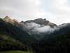
Zwoelferspitz (rather Zwölferspitz in its original German spelling) is one of the most important mountains of the Carnic Alps Main Ridge. Located in the western part - west of Plöcken Pass that is - it is not even part of the ridge itself. If you compare the map you can see that the ridge takes a bend to the south to reach Peralba, one of the highest mountains of the whole Carnic Alps. Zwölferspitz is located on a side ridge almost exactly north of Peralba, which in itself isn't impressive either. But due to its height (2592m), form and position it is the most visible mountain of the Carnic Alps as seen from the north.
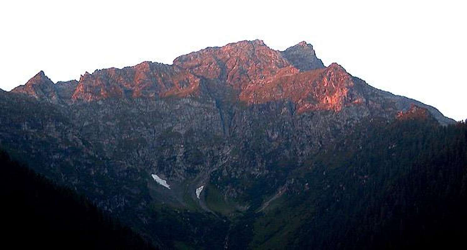
The summit actually is composed by three pyramid-shaped peaks which reach very similar altitudes. The summit cross is placed on the southern-most peak and can be reached by a very steep scramble from the southern side, an ascent which gets very tricky in wet conditions. The grass slopes to the summit just get far too slippery.
The name of the mountain is derived from its location with respect to the village of Maria Luggau, a well known place of pilgrimage in Lesachtal Valley. Zwölferspitz is located directly to the south of the village so that the sun hovers over it at twelve o'clock each day. The practice of naming mountains by the location of the sun with respect to some village is very common in the Alps, just look at these random SP-pages: "Mittag", by the way stands for noon as does the French "Midi" (for those of you who understand German a good page on mountain names is this page).
The access to Spitzkofel goes through Luggauer Törl, a pass that separates the northern side ridge, in which Zwölferspitz is located from the Carnic Alps Main Ridge. Through this pass leads the "Karnischer Höhenweg" trekking trail, a 140km (90 miles) long trail which follows old World War I supply trails along the whole Main Ridge. The most common ascent to Luggauer Thörl (when not hiking the trekking trail) is from Maria Luggau along the Luggauer Bach Valley with a steep ascent at the end. From Luggauer Thörl the going gets even steeper with the above mentioned grassy slopes directly below the southernmost of the three peaks.
In 1932 there has been a successful attempt on the north face of the northernmost summit . There is only scarce information, the route is supposed to be UIAA III and was first climbed by E. Schmid.
 |  |  |  |
Getting There