|
|
Mountain/Rock |
|---|---|
|
|
53.23000°N / 158.80000°E |
|
|
8992 ft / 2741 m |
|
|
Overview
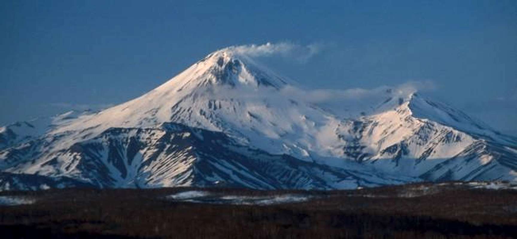
Avachinskaja (2741 m/8992 feet) is a symbol of the Kamchatka peninsula as it is the nearest active volcano to the capital Petropavlovsk-Kamchatskij. It is situated about 25-30 km north-east from P-K.
Constant fumarole activity is complemented by small or huge eruptions from time to time. The last significant eruption was in 2001, however, the last big eruption was in 1991, when lava almost reached the north road going from P-K to Elizovo. Landing at Elizovo airport you will be fascinated with the range of volcanos that are situated north of P-K. From the west, the smaller peaks starting at Pinachevo pass are the volcanos Aag, Arik, Koryakskij (3462 m/11352 feet), Avachinskij pass, Avachinskaja sopka, Uglovaja (2390 m), and Kozelskij (2250 m). The slopes end up near the coastline of Pacific ocean.
Getting There
Flights to Kamchatka are described at the pages for Viljuchinskij volcano and at Klyuchevskaja sopka page. From Elizovo airport you can take the bus 106 to the junction at the beginning of "Suchaja recka", then about five km on dirty stone road, and about 16-17 km through the riverbed of "Suchaja recka" to the hut base. Another possibility is taking a taxi from Elizovo to the end of dirty road, so that only 16-17 km remains for you. The last possibility for lazy people is ordering an off-road 4WD car that take you directly to the hut base. Also, if there is a lot of snow in spring and winter, the second half of the route can be done on snowmobiles.Red Tape
Similar to Viljuchinskij volcano and Klyuchevskaja sopka. You need valid tourist Russian visa, registration at OVIR for all foreigners within three days after you fly in Kamchatka. Moreover, a special permit for Avacha national park (also called National park of three volcanos) including permit for border zone is necessary. All of it can be managed through several Kamchatka's travel agencies.When To Climb
Avachinskaja is accessible over the whole year.Camping
You can sleep in huts "domiki" for USD 10-15 per person. You can set up a tent somewhere around.Mountain Conditions
Avachinskaja was very popular until 1991, and three hut bases were built up under the Avachinskij pass. One of them is a ski base, and skiers install a lift during the winter through one valley. Many of huts (called in Russian "domiki") are partly destroyed; some of them are repaired, and new are built. In 2004 late spring office hut burned away.The area is quite crowded in summer, when the weather is beautiful, because a lot of tourists from foreign countries (obviously a lot of inhabitans of P-K and Elizovo too) would like to reach the summit. The majority, about 99% of them, used the classic route, which is designed by poles with small iron tables from hut base. In the middle section, the route leads around the cone from the left to approximately 2200-2300 m. Then, a steep part with switchbacking route continues to the summit.
Be careful about direction of the wind, because sulfur gas on the summit are quite strong. Fumaroles start from south/south-west at about 2500 m; from other sides they are higher.
Several maps of Kamchatka are accessible at: Map server
Info about ski-alpinism at Kamchatka's volcanos is at:
Kamchatka's skiing 2002
BOOKS
Spravocnik turista, published by RIO-KOT, Petropavlovsk-Kamchatskij 1994, ISBN 5-85857-013-5


