-
 15299 Hits
-
 81.18% Score
-
 13 Votes
|
|
Mountain/Rock |
|---|---|
|
|
43.65505°N / 88.16448°W |
|
|
1230 ft / 375 m |
|
|
Come for the Kames...
It is named Dundee Mountain. It is more like a hill, a small hill at that - but it has a special distinction. It is a kame, the product of the melting of the massive glaciers that parked themselves in this part of Wisconsin 15,000 years ago.
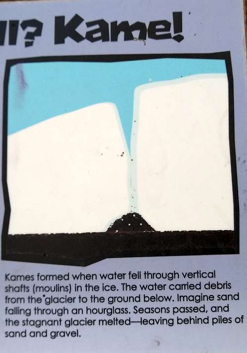
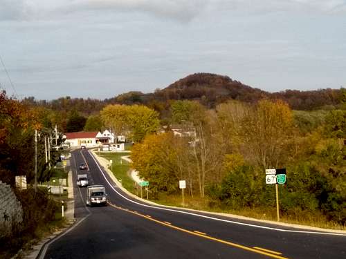
This kame is 1230 feet above sea level, and the one mile round trip loop trail has an altitude gain of less than 200 feet. While small, it nevertheless seems to loom over the surrounding area. It will take most people reading this less than a half hour or so, but if you are in the area you will want to enjoy this kame. It is one of the largest in the Kettle Moraine State Forest. Is it worth a half hour? Yes, especially in Fall.
...Stay for the Moraine
Dundee Mountain is part of the wonderful Kettle Moraine State Forest - North area, an hour or so northwest of Milwaukee in Wisconsin. The long thick ribbon of hills, dense forest and lakes that mark the furthest extent of the last period of glaciation is a wonderfully varied landscape that provides unexpectedly long and rugged hiking, biking, snowshoeing and cross country skiing possibilities. The area is named for the glacially formed ‘kettles’, small to huge potholes – sometimes filled with water, sometimes not - that make the topography much more varied than you find elsewhere in southeast Wisconsin. Large blocks of buried ice melted after the ice lobes receded, forming these kettles. Farsighted citizens preserved the area from development.
Getting There
The trailhead to Dundee Mountain is tucked within the Long Lake Recreation Area campground, opposite site number 945. Take Highway F east from Dundee Wisconsin and then turn north on Division road (aka Kettle Moraine Scenic Drive) until you get to the Recreation area entrance on the left. Drive in and go to the 900 loop of the campground. I was able to park at the campsite at the nearly empty campgound twice during the covid months - in normal times park in a parking area at the beginning of the 800 loop and walk to site 945.
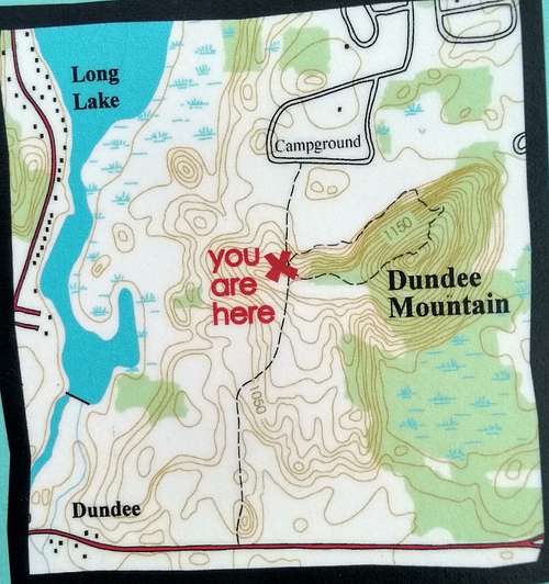
Or alternatively, there is a small parking area on the south side of Highway F half a mile east of Dundee that allows you to approach the trail loop from the south, avoiding the campground. It was shown on the trail map at the start of the loop, but in Fall 2022 the southern trail head (on the north side of the road just east of the parking area) was marked with 'area closed' signs.
Route
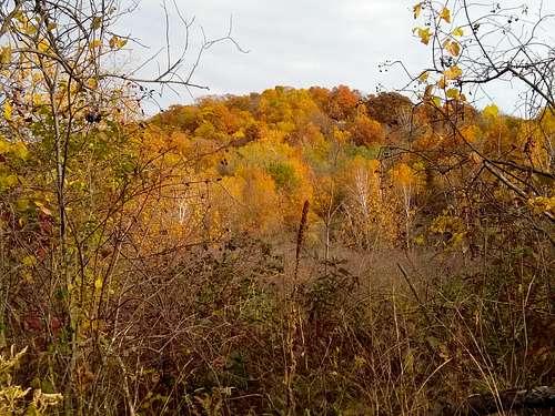
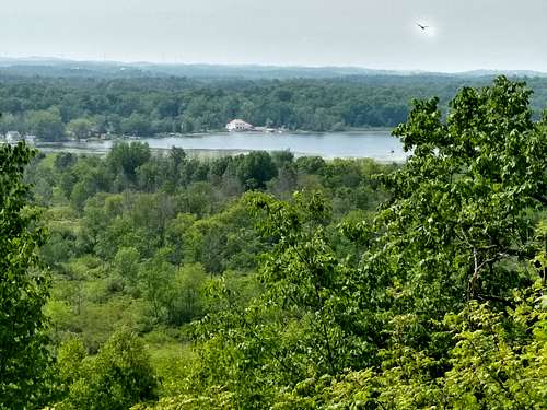
The route is straightforward and easy, and it quickly guides you through the forest and up west ridgeline of the kame, with several nice view points along the way. The summit itself is wooded.
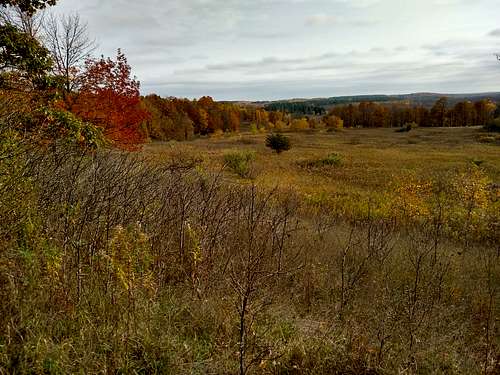
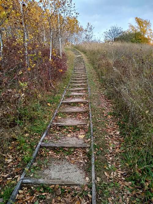
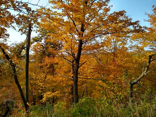
If you are fortunate enough to be here in fall, you will have a treat.
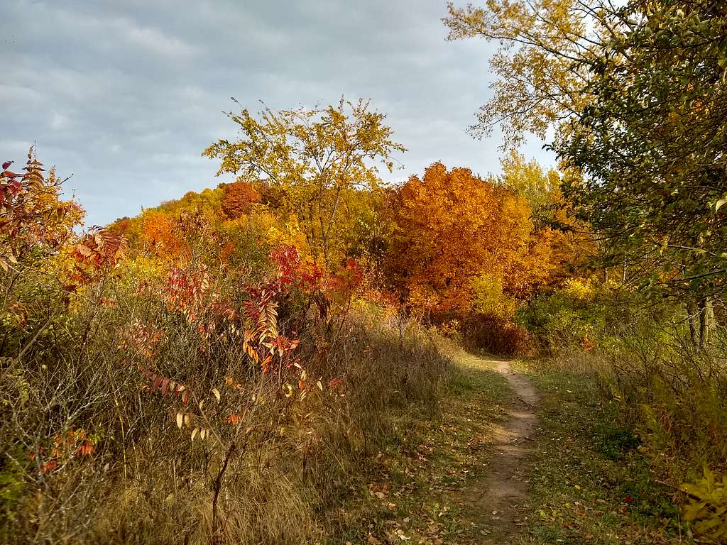
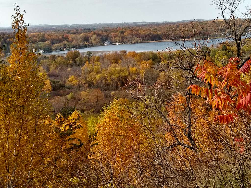
At the summit continue down the trail, which will bring you to a long esker that will descend down the north side of the kame.
Red Tape
You will have to pay a $5 fee at the recreation area entrance (in 2020) unless you happen to have a Wisconsin State Park sticker.
When to Climb
Anytime. But summers can be buggy and humid...
Camping
Right in the 200 site campground.
Nearby:
Ice Age Visitor Center is a half a mile southwest of Dundee on route 67.

