|
|
Route |
|---|---|
|
|
34.85250°N / 111.8315°W |
|
|
Hiking |
|
|
Spring, Summer, Fall, Winter |
|
|
Half a day |
|
|
Hike |
|
|
Overview
Girdner is a 4.7 mile long trail that connects Boynton Pass Road to Cultural Park on Route 89A in western Sedona. Except for short distances in its start and end, the trail travels in the canyon of Dry Creek providing little view of the surrounding red rock mountains. Anaconda is a short side trail that goes to the top of a hill 150 feet above the surroundings providing good views before dropping into the canyon of Dry Creek to join Girdner trail.
I did these trails as part of a 14 mile one way hike from Vultee Arch Road to Crescent Moon Park and then Shelby Drive where we were staying.
Getting There
One end of the trail is at Cultural Park on Route 89A 4.2 miles west of the intersection of Routes 89A and 179. The other end is at the intersection of Vultee Arch Road and Boynton Pass Road as shown on the map.
Route Description
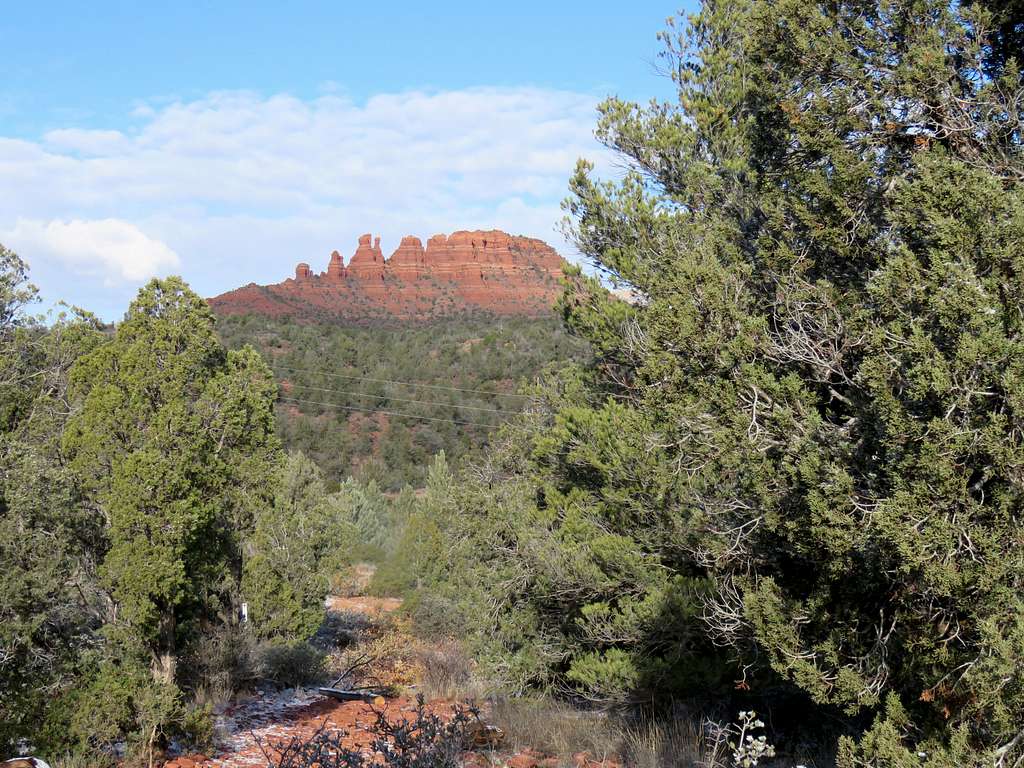
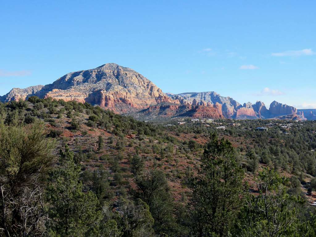
At the north end of Girdner Trail on Boynton Pass Road, you will have good views of Capitol Butte to the east.
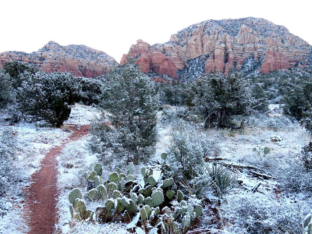
After less than half a mile, you will reach the junction with Anaconda Trail. I chose to Leave Girdner and follow Anaconda which took me to the top of a hill with good views.
Capitol Butte and Chimney Rock.
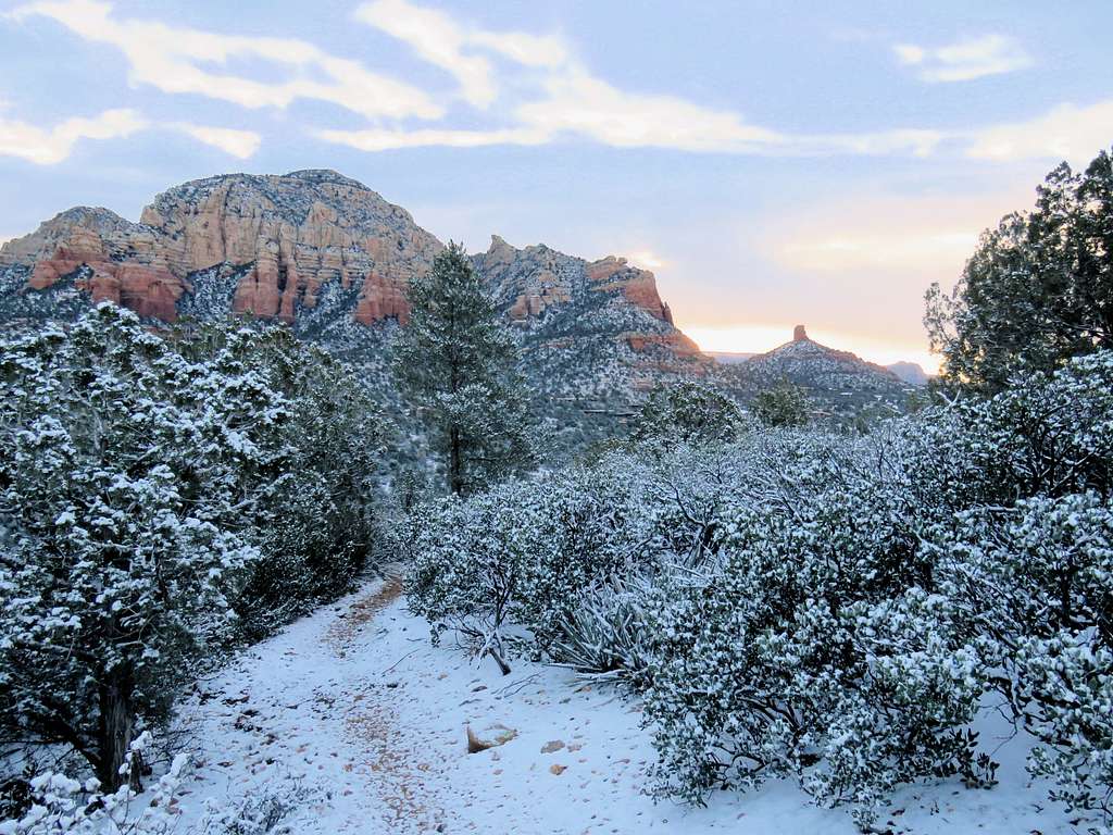
Courthouse Butte and Chimney Rock.
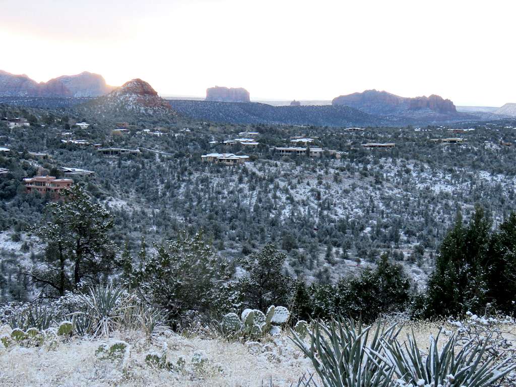
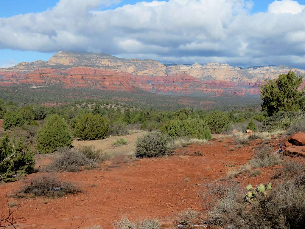
Looking toward Boynton and Long Canyons.
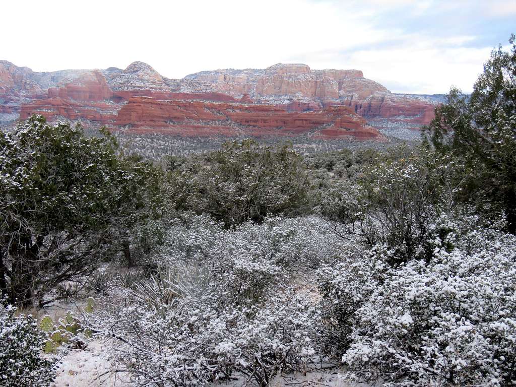
Anaconda Trail soon drops down into the bottom of Dry Creek Canyon to join AZ Cypress Trail. Heading south at the bottom of the canyon, will bring you to Girdner Trail which will continue to travel south in the canyon.
View of Cockscomb.
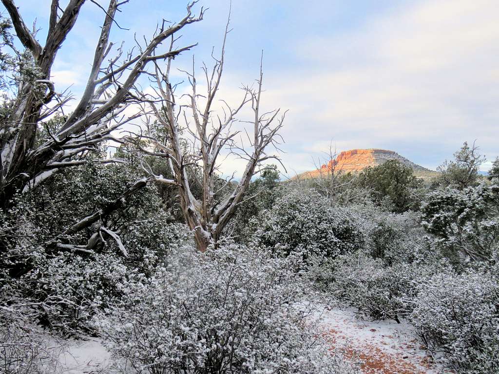
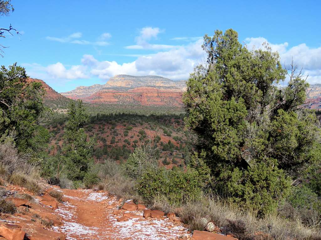
In the canyon.
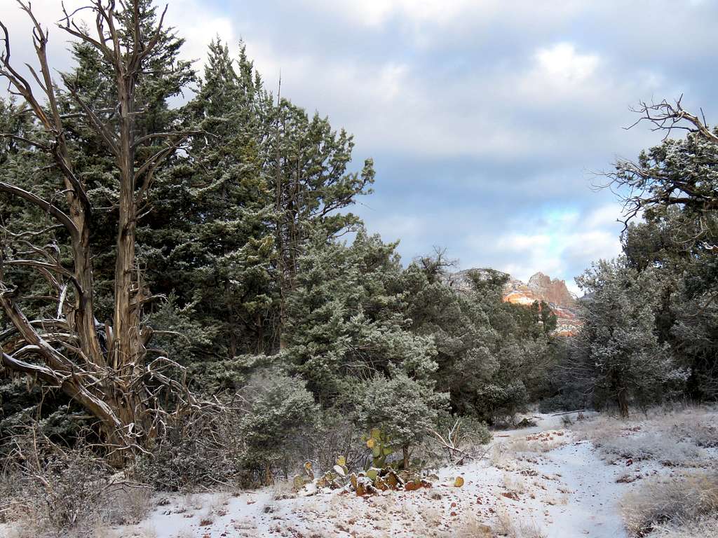
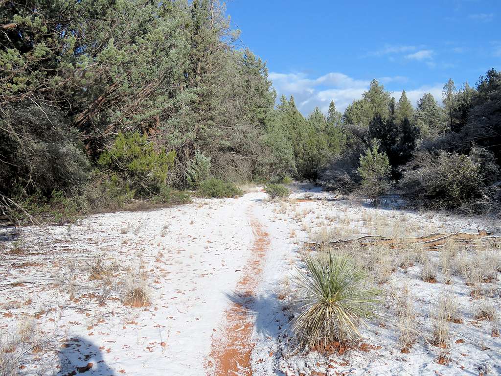
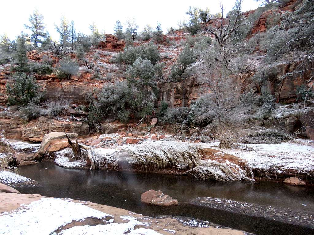
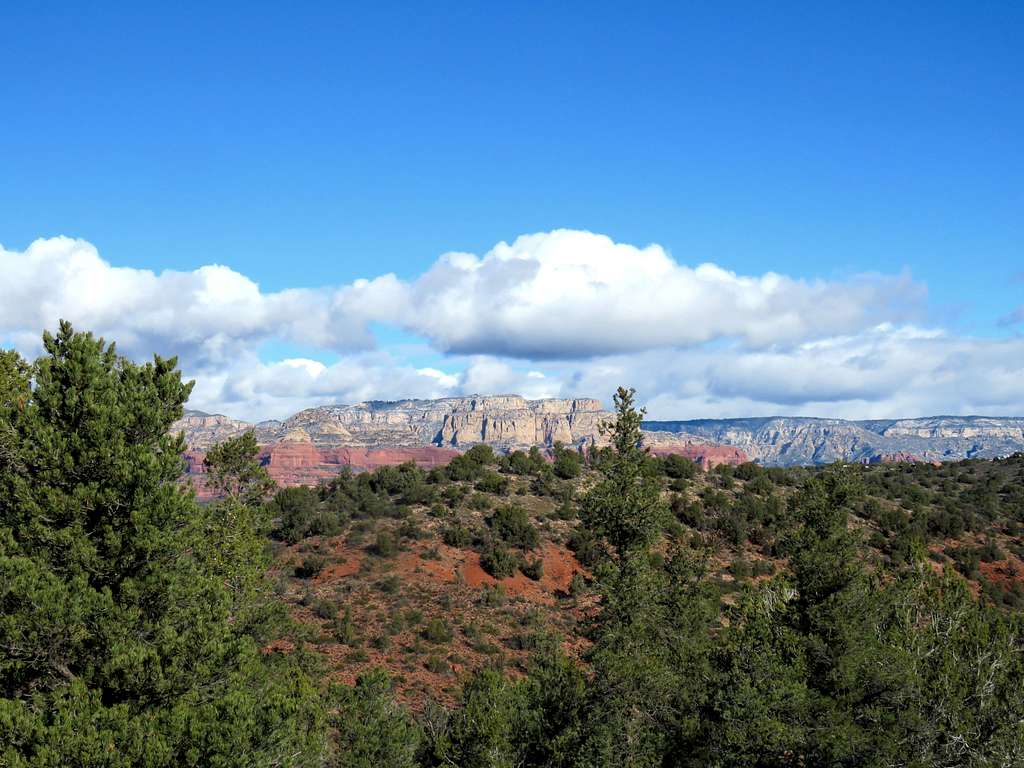
For its last mile, the trail exits the canyon giving you good views of the surrounding red rock mountains
Essential Gear
Hiking equipment.

