
-
 22165 Hits
-
 84.55% Score
-
 19 Votes
|
|
Canyon |
|---|---|
|
|
38.01838°N / 110.53685°W |
|
|
Hiking, Scrambling, Canyoneering |
|
|
Spring, Summer, Fall, Winter |
|
|
Overview
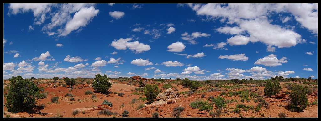
Leprechaun Canyon is a short and sweet technical canyon located just to the northeast of Utah Highway 95. The canyon has two forks; the west and east fork both of which have their perks. The West fork is a narrow squeeze pretty much the whole way where the east fork is a little wider and has more opportunity for some interesting canyoneering moves and down climbs. The east fork also has better opportunities for some very nice slot canyon photography. Most of the photos on this page were taken in the east fork.
Both of these forks can be done in a couple hours each plus approach time. They are also very close to a highway which makes them great canyons to do on the go. Great camping spots can be found at the mouth of Leprechaun Canyon just off the highway but they can fill up in the peak spring and fall seasons.
Getting There

Main fork of Leprechaun Canyon

Main fork of Leprechaun Canyon

Leprechaun Canyon

Leprechaun Canyon

Leprechaun Canyon

Leprechaun Canyon
Leprechaun Canyon can be done two ways. The easy way is to park just off the highway and walk up the canyon until you can't go any further. The Main fork is a wide open easy walk but the slightly more adventurous can get about halfway up the west fork from the bottom before getting to a wall that can't be up climbed. The east fork can't be climbed up at all from the bottom as a rappel at the end guards it.
To complete one of the forks drive north in highway 95 and turn right (east) onto the Cedar Point Road about .8 miles north of the Highway 276 junction. This road has been degrading and is difficult for low clearance vehicles but doable. Drive 3.5 miles on this road and park. From where you park generally head south until you see Leprechaun Canyon. It's easy to spot each fork and you can rim walk around one or the other depending on which you choose to do. To do the west fork, drop onto the Navajo Sandstone and you will enter the canyon with a short rappel or down climb depending on your comfort level.
East Fork Leprechaun Canyon
To do the east fork, drop onto the Navajo Sandstone on the east side and you will enter the canyon with a short rappel or down climb depending on your comfort level. Once in the canyon continue down working your way around some obstacles and drops that are all pretty easy. Another short rappel is passed but this one can also be down climbed. You'll pass through a small open area in the canyon before coming to the last rappel that drops into the Main Fork. This rappel is also down climbable but it's best to rappel. Once in the Main Fork walk down and pass the tiny slot that you can choose to walk around if you wish. Just past that start climbing up the steep Navajo Sandstone on the right (west) side of the canyon and continue climbing up at the path of least resistance until you top out at the rim. From the rim you can walk north along it back to the road where your car is.
 |  |  |  |  |
Liba Kopeckova - Apr 27, 2016 6:46 pm - Voted 10/10
co-ordinatesI think the co-ordinates are wrong. Maybe try: 38.01838, -110.53685
Matt Lemke - Apr 29, 2016 9:56 pm - Hasn't voted
Re: co-ordinatesThanks! Fixed it