

-
 63713 Hits
-
 89.97% Score
-
 31 Votes
|
|
Mountain/Rock |
|---|---|
|
|
42.26800°N / 105.441°W |
|
|
Albany |
|
|
10272 ft / 3131 m |
|
|
Overview
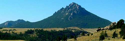
Laramie Peak is the highest Wyoming peak in the Laramie Range, which is located in the northern part of Medicine Bow National Forest and considered part of the Rocky Mountains. Long ago, it was a landmark for pioneers on the old Oregon and Mormon Trails. Laramie Peak is also the second highest peak overall in the range behind Colorado's South Bald Peak at 11,003 feet, and it is ranked the 7th most prominent peak in Wyoming by Lists of John at 3,310 feet. Lists of John puts the summit altitude at 10,260, while other sources list it at heights up to 10,275. The National Forest Service lists the summit at 10,272 feet. When viewing topo maps, it becomes quickly apparent Laramie Peak totally dominates the region. The mountain does not rise above treeline though, making it great for winter snowshoeing and an easy summer hike-up. The switchback trail leading to the top begins around 7,500 feet, making the days elevation gain about 2,800 feet. The distance to the summit from the trailhead is around 5 miles. Though I did not see it myself, one hiker points out a trailhead sign says 4.8 miles to the summit. However, one forest service site says 9.9 miles to the summit and back. Though the figures may not all be in unison, it does give hikers a "ballpark" idea of what to expect. The degree of incline remains moderate for most of the journey, making biking up the mountain possible, and riding down the mountain highly recommended!
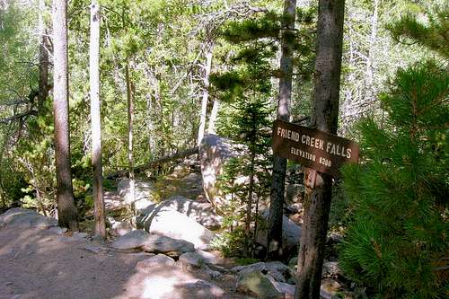 Friend Creek Falls
The trail is overall well maintained and smooth, and 4-wheelers regularly drive to just below the summit, in which a short scramble is necessary. I must point out that the true summit is not the wood helicopter pad with the names carved in it. In order to "truly" summit the mountain, you must climb the relatively small rock chimney. Unfortunately, the summit is decorated with an array of towers, receivers, and even a building, all of which are used for communication and/or emergency purposes. Laramie Peak is maintained by the Douglas Ranger District.
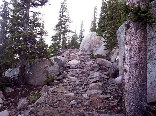
 Trail Narrows here
Note: This page was originally created by Trevor Simmons, who has moved on to other interests.
Getting There
 Here's a picture of where the...
The best way to reach Friend Park and the Laramie Peak Trailhead is to turn west at Glendo, Wyoming and drive the Esterbrook Road. This road turns to gravel and dirt for most of the journey. Drive through the town of Esterbrook and follow the signs to Friend Park.
The National Forest Service provides these directions:
From Douglas, take WY 94 17 miles south continuing onto Esterbrook Road (County Road 5) 11 miles south to Esterbrook. Turn right on Esterbrook Road (County Road 5) southwest for another 15 miles. Turn left on Forest Road 671 for 2 miles and then left onto Forest Road 661 for 1 mile to the campground. Transit time 1 1/2+ hours.
From Rock River, take US 30 / US 287 north 3 miles, turn right on Fetterman Road (County Road 61) for 33.6 miles. Turn right on Garrett Road (County Road 713) for 6.7 miles and then left on Bear Creek Road (County Road 77) for 7.8 miles. Continue on Forest Road 671 for 6 miles and then turn right on Friend Park Road 1 mile to the campground. Transit time 2+ hours.
This site is usually not accessible by vehicle from mid-October to mid-May. Converse and Albany Counties normally do not maintain County Roads in the Friend Park Area from 1 Nov to 1 May. Bear Creek road is single lane and rough when it is open.
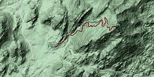 Laramie Peak Trail
NOTE: County Rt. 5 becomes rather rough and rocky. At 3.6 miles on Rt. 5, an unmarked "Y" intersection appears. Bearing either left or right takes the driver to the same place for continuing on Rt. 5.
Red Tape
Small fees are in effect for parking at the Laramie Peak trailhead. You can access the latest Laramie Peak information at this USDA site:
Laramie Peak Trailhead & Parking
Hunting seasons might affect your choice of when to hike there. You can learn the latest information at this USDA link, which also provides fishing information:
Wyoming Fish & Game Laramie Peak Wildlife Habitat Management Area
When To Climb
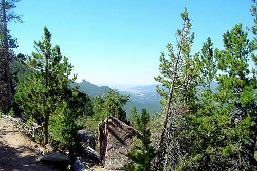
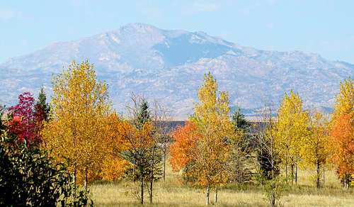 Laramie Peak autumn view from the southeast
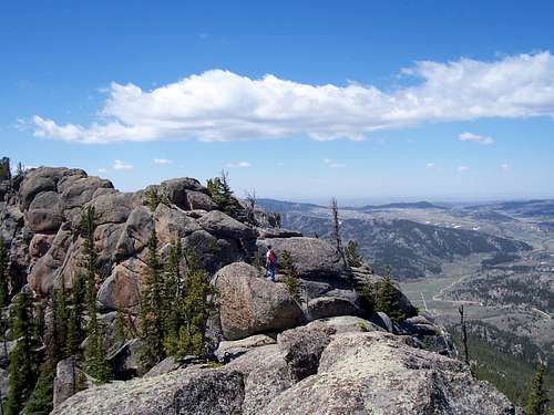 A precarious edge...
Theoretically, Laramie Peak could be great to climb all year long, with the peak most commonly summited in July after the snow has melted. Just like any mountain, be prepared for snow during the spring and early summer months. However, as the National Forest Service points out, roads in the area are not maintained from mid-October to mid-May. In a dry winter, you might get through, and then again, maybe not. Please check with the area forest service office before making any assumptions that could cause you problems. Their number is:
(307) 745-2300
Camping
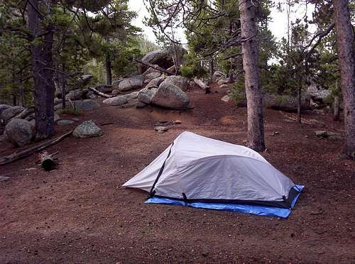 Great camping spots abound!
The Friend Park campground is at the trailhead of Laramie Peak. During weekend in the summer months, the campground is very busy, but weekdays should give you relative solitude. If you want complete privacy, haul your backpacking gear up the mountain. There are a number of great spots to pitch a tent near the trail. Beware of weekend traffic, though. Dozens of day hikers and even 4-wheelers will pass you on certain days. This link will give you more information on dispersed camping on Laramie Peak:
Dispersed Camping on Laramie Peak
The following link pertains to Friend Park Campground:
The nearest city is Douglas, Wyoming. To make reservations to camp at Friend Park Campground, call 1-307-745-2300. The elevation at Friend Park Campground is 7,400 feet. The campground is located above Friend Creek at the base of Laramie and Friend Peaks.
The campground is delightful for tents and small RVs (pop-up and slide-in styles). There are several nice rock climbing formations nearby. Sites are fairly close together and shaded by firs and pines. The campground is a good location for wildlife viewing as well. The campground is open seasonally, but there are no regulations prohibiting camping within the National Forest during the winter months. The Friend Park Campground is open seasonally from June 1 through October 31, with a maximum stay of 14 days permitted.
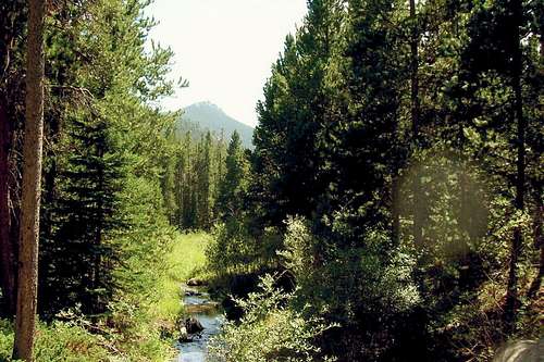 Friend Creek, near trailhead
There are no RV sites, 8 tent sites, and 3 "combined sites" intended for tents and/or RVs. The total number of camping sites is 11. The Park contains tent pads, group tent sites, open sites, and wooded sites. There are 11 tables and grilles at Friend Park, one for each site. If you are RV camping, there are no hookups, no group RV sites, only one RV pull-through, and no waste station. The average parking apron size is 14' X 33' and the parking aprons are gravel. Travel trailers are not recommended because there is no turn-around.
Friend Park contains vaults and wheel-chair friendly toilets, but there are no flush toilets or hot showers. There is no public phone, no playground and only one hand-pump water spigot. All surrounding hiking trails are multi-use, so be prepared to encounter cyclists, 4-wheelers and even horseback riders. Horse Shoe Creek also runs near Friend Park, making brook trout fishing a realistic option.
Mountain Conditions
For the latest weather information on the Laramie Peak area, click here:
Laramie Peak Area Weather Conditions & Forecast
 Eagle Peak
Gallery of Laramie Peak Climbers
 Hikers from the Ukraine Hikers from the Ukraine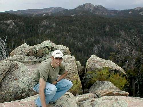 This picture looks to the... This picture looks to the...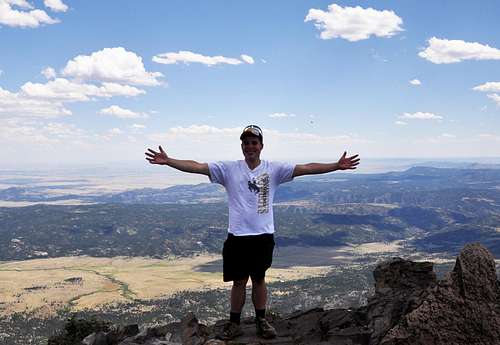 Me after a long, painful hike! Me after a long, painful hike!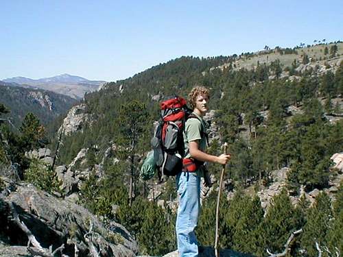 The Laramie Mountain Range... The Laramie Mountain Range...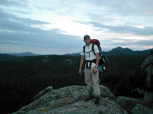 Ty Simmons stands with... Ty Simmons stands with...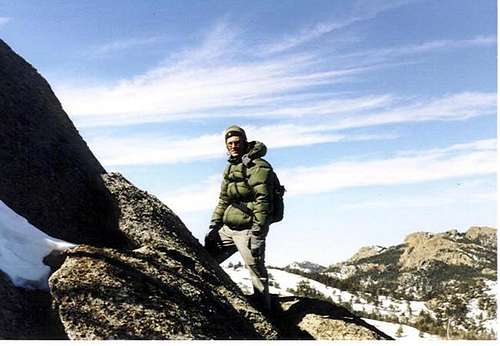 Dylan Wann stops for a quick... Dylan Wann stops for a quick... | ||
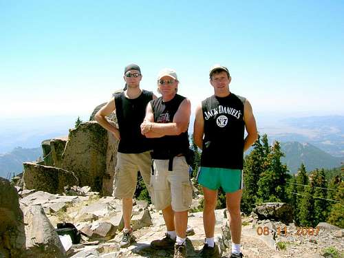 International Hikers International Hikers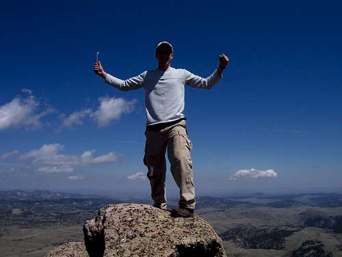 Ah, victory... Ah, victory... | ||
geosean - Oct 17, 2011 1:05 pm - Voted 10/10
FYIFYI according to the trailhead sign it is 4.8 miles to the top.
technicolorNH - Aug 10, 2017 12:23 am - Hasn't voted
Just a quick heads upThe owners of the Friend Park TH have raised the non camper fee for trailhead parking to $5.