
|
|
Mountain/Rock |
|---|---|
|
|
18.33031°N / 64.91169°W |
|
|
Hiking |
|
|
968 ft / 295 m |
|
|
Overview
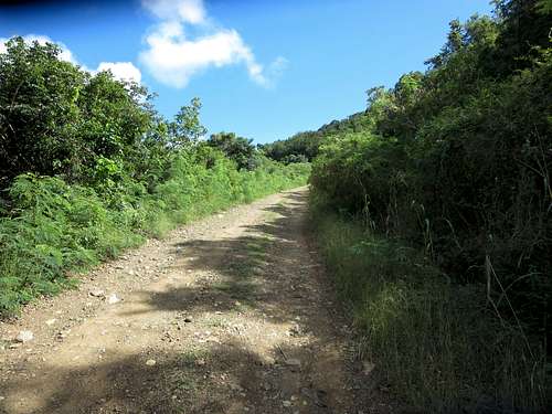
Road leading to summit
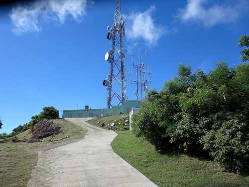
Communication towers on summit
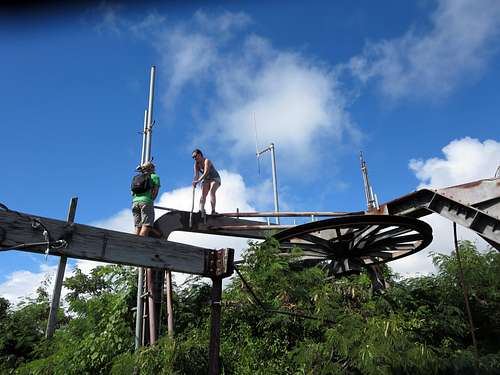
chairlift wheel
Getting There
There are many ways to reach Charlotte Amalie, Saint Thomas including air and sea. It is a popular cruise stop in the eastern Caribbean.Route
If you arrive aboard a cruise ship that docks at the Havensight area, it is a simple walk past the West Indian Company dock to Rumer Drive which goes past K Mart. Near the intersection with Weymouth Rhymer Hwy, there is a McDonalds on your left. From Rumer Drive take the right turn onto Weymouth Rhymer Hwy (I recommend the right side of the road, facing traffic due to the lack of a sidewalk) and hike up the hill until you see the Paint Depot on your right. Take the road on your right before you reach the Paint Depot. This road continues up the mountain to the summit. At the summit, walk around the buildings on their right side to reach the old chairlift remains. Route trace on Google