
-
 8310 Hits
-
 83.41% Score
-
 17 Votes
|
|
Mountain/Rock |
|---|---|
|
|
38.71831°N / 78.26521°W |
|
|
Rappahannock |
|
|
Hiking, Scrambling |
|
|
Spring, Summer, Fall, Winter |
|
|
2531 ft / 771 m |
|
|
Overview
Who could resist the siren (sty-ren?) call of a peak with such a glamorous, classy name? Well, I couldn't.
Pignut Mountain is part of the Blue Ridge. It is in the North District of Shenandoah National Pork, er, Park. This means it lies between Thornton Gap and the park entrance in Grunt, er, Front Royal, Virginia. It is on the eastern shank, er, flank of the park.
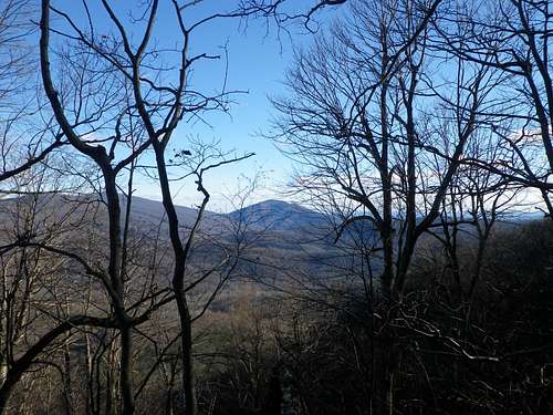
View northeast from Pignut Mountain
There are many trails in the vicinity, but none to the summit of Pignut. Taking the Keyser Run Fire Road can get one to a saddle that is within about 0.6 miles of the summit, however. Another attraction of this saddle is the presence of the old Bolen Cemetery, whose reposing residents were among the hardy people who occupied this rugged terrain before Shenandoah National Park existed.
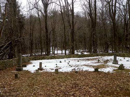
Pignut Mountain with Bolen Cemetery in foreground.
Getting There
From Washington, DC:
Take 66 west.
Get off at Exit 43A and take 29 south to Warrenton.
In Warrenton, turn right onto 211 and head west.
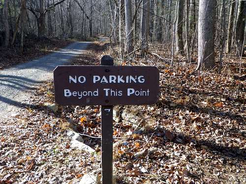
Turn right onto 622 / Gidbrown Hollow Road, then left onto 614 / Keyser Run Road till you can't drive any farther.
Route
Route:
The trailhead is at an elevation of about 1,200 feet. Take the Keyser Run Fire Road southwest about 1.2 miles to its junction with the Hull School Road Trail, gaining about 700 feet.
Start Here
Simply turn left and bushwhack about 0.6 miles southeast to the summit of Pignut Mountain, gaining another 600+ feet along the way.
Pignut Approach
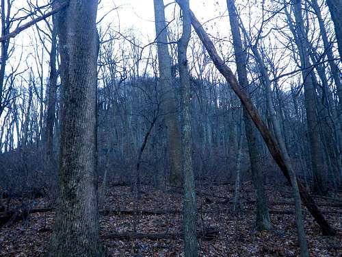
The terrain is reasonably open and pleasant - at least in the winter.
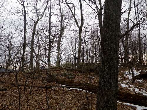
Pignut Mountain
There is a steep section with a rock band that can be easily navigated through.
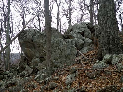
Pignut Mountain
Above that, the summit area lies at a gentle angle. It's a fun scramble to an obscure peak in Shenandoah National Park.
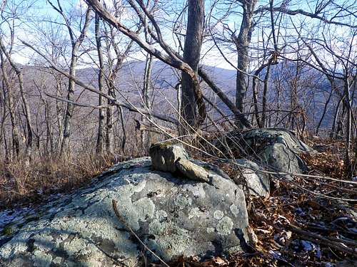
Pignut Mountain
Done as an out-and-back, this hike will cover about 3.6 miles, with an elevation gain of about 1,330 feet. But make sure to allow a little extra time to pay your respects to the Bolen family.
Red Tape
Information on hiking in Shenandoah National ParkWhen to Climb
Pignut Mountain can be climbed any time of year. However, reaching the summit entails bushwhacking, making winter the ideal time in order to minimize the impact of obstructive vegetation.Camping
Information on camping in Shenandoah National ParkExternal Links
Information on the Pignut HickoryInformation on the Bolen family cemetery