
|
|
Mountain/Rock |
|---|---|
|
|
45.96850°N / 113.468°W |
|
|
Deer Lodge |
|
|
Hiking, Scrambling |
|
|
Summer, Fall |
|
|
9487 ft / 2892 m |
|
|
Overview
Are cityfolk making you crazy? Do you want an exciting, pristine, mountaineering challenge without the crowds?
Well the Anaconda-Pintler Wilderness is the place for you.
There are several routes you can take to get to McGlaughlin Peak, but all involve long days or camping overnight, and all of them involve some class 3 climbing.
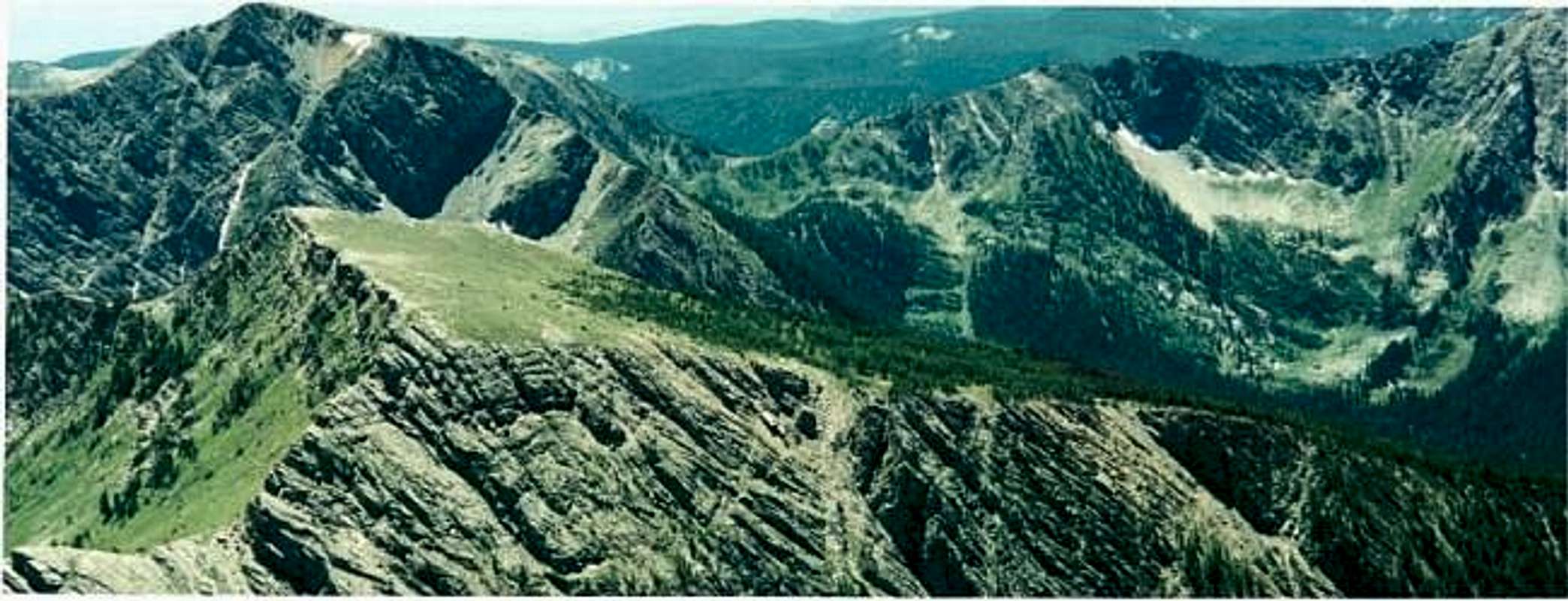
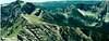
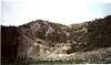
McGlaughlin Peak is large, flat-topped ridge in the Anaconda Mountains. It is a challenging, short, but steep, hike from various routes, starting at Edith Lake. You generally have to find your own way up to McGlaughlin Peak, but ironically, once you near the summit, a smooth, gradual wilderness trail takes you the rest of the way to the top.
The actual summit is at the top of a relatively flat-topped green meadow. Once on the summit area, it is about 100 feet higher to the actual summit.
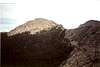
This climb offers a great opportunity at rugged, class 3, climbing.
The most direct route, via Edith Lake, requires that you navigate your own way up from the area around Edith Lake to the top of a steep ridge (point 8906' on the topo map), climbing 1,500 feet up by using roots of small trees and loose rocks. It is very exciting and daring. It is a true wilderness experience with no crowds.
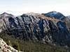
The Anaconda Range is a little more than an hour away from Anaconda, Montana, which you can reach off of I-90 in between Butte and Missoula. The most prominent mountain is Warren Peak 10,463', although it's close neighbor, West Goat Peak, 10,793' is 300 feet higher. McGlaughlin Peak is notable because it is a large green meadow with extraordinary views of the surrounding peaks.
*Thanks to Saintgrizzy for his excellent photos submitted in November of 2004!
 |  |  |  |  |
Getting There
You can reach the Anaconda Range and McGlaughlin Peak by traveling down I-90 toward Missoula until you hit Route 1. Then take Route 1 to rt-38(AKA-skalkaho pass) Take rt-38 for 9 miles until you get to Moose Lake Road. Take a left on Moose Lake Road, (a dirt road) and drive 16 miles to the end of the road, where you will find the trailheads.After you park your car, you take the trailhead to the left, (back towards the road) which leads to a long gradual trail that goes up 1,000 feet to Edith Lake or Johnson Lake. The primary trail to McGlaughlin Peak is near Edith Lake. Most people hike 5 miles to Edith Lake and camp there for the night.
At Edith Lake:
From the main trail, you hike the trail around the side of the lake, until you reach the North end, where a small trail takes you to a class 3/4 ridge. Take the ridge up to the lowest point, and then you will find a wilderness trail that will take you to McGlaughlin Peak
This is not the only route, just the most direct.
 |  |  |  |  |
Red Tape
The ridge that leads to McGlaughlin Peak is dangerous, with loose rock. Climb with a group and be careful of falling rock. This is certainly a place where you could take a bad fall and get seriously injured. Rope is not necessary in summer, but a helmet may be advisable. Strong gloves can also protect against rocks tearing up your hands.Moose Lake road is frequently traveled, so road conditions are at least made tolerable for inhabitants of the area. Camping is permitted throughout the wilderness area, although regulations from time to time may limit camping around popular day hiking destinations. Additional camping is found at several designated campgrounds on the east and west sides of the mountains. Abundant informal campsites also exist all around the wilderness area. More information on camping access and restrictions