-
 1596 Hits
-
 78.27% Score
-
 9 Votes
|
|
Mountain/Rock |
|---|---|
|
|
Hiking, Mountaineering, Skiing |
|
|
Spring, Summer, Fall, Winter |
|
|
7300 ft / 2225 m |
|
|
Overview
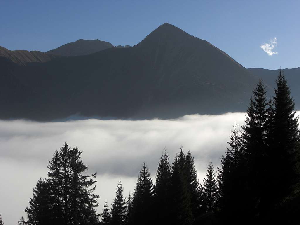
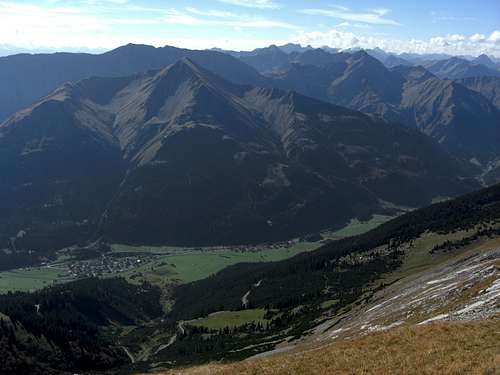
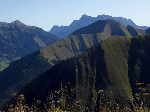
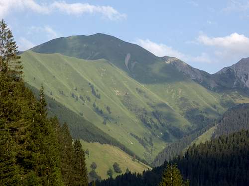
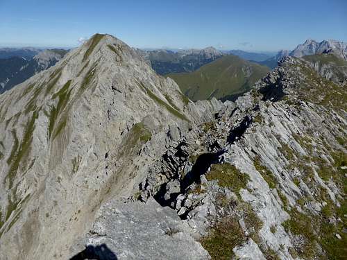
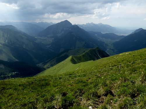
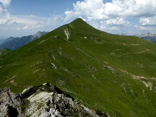
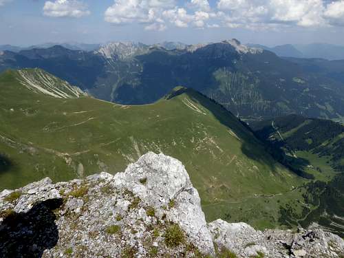
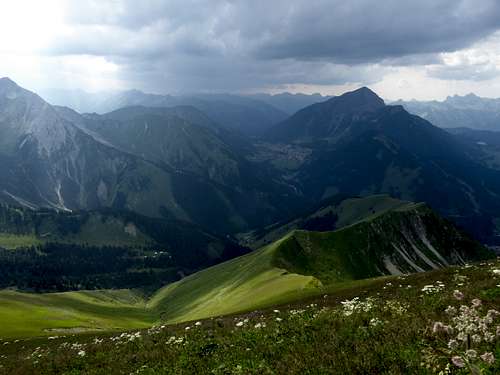
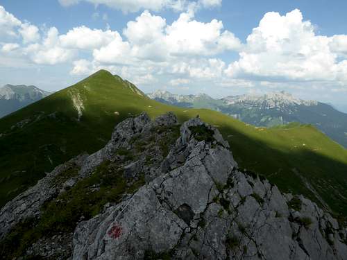
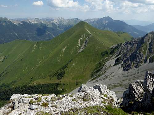
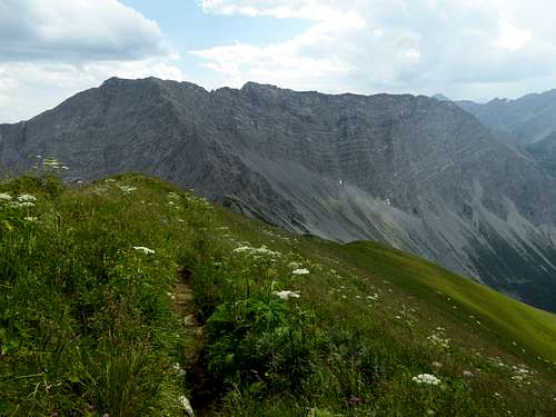
Some mountain areas of the eastern Lechtal Alps show stark contrast due to geology. Gartnerwand subrange, a part of Loreagruppe, is among those areas. Whereas the eponymous summit of Gartnerwand is a high rock ridge, showing steep and impressive north faces, Bleispitze, located a bit north of Gartnerwand, is a green, gentle mountain with long meadow ridges to the west, south and northeast and vast and lush meadow slopes where sheep and goats are grazing peacefully.
This is due to a huge and long outcrop of jurassic deposits of the so called Allgäuschichten or Allgäu Fleckenmergel on the north side of Loreagruppe. These marls and limestones have less resistance against mechanical weathering and thus build soft mountain forms, allow meadows rich of plants and wildflowers and are a stark contrast against the rocky peaks in their neighbourhood.
Bleispitze is not called after the metal lead. It is a shortened and altered word for “Pleis” which means steep meadow slope and in fact this mountain is called Pleisspitze on older topographic maps. This is not an unusual denomination in Tirol: Karwendel ranges host the Pleisenspitze and northern Stubai ranges have another Pleisenspitze.
All those Pleis, Pleißen or Pleisen mountains have one thing in common. They all are well known ski tour summits, due to their broad and steep meadow slopes. This is the fact with our Bleispitze, too. In summer Bleispitze sees less visitors.
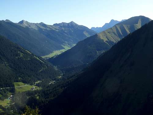
Located north of huge Gartnerwand and linked to this mountain by a col named Sommerbergjöchle, Bleispitze stands apart of any other prominent summit high above the valley of Lähn and Bichlbach, which runs from Ehrwald / Lermoos to Reutte. This unique location makes Bleispitze look rather high and impressive, despite of being “only” a green meadow summit and despite of being a good 100 to 200 meters lower than the surrounding peaks.
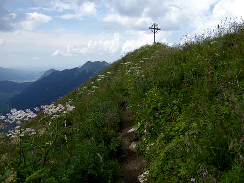
My recommendation for summiting Bleispitze is a traverse route: From Bichlbächle to Bichlbächler Jöchle, west ridge to Gartnerwand, north ridge via ferrata to Sommerbergjöchle, south ridge to Bleispitze and the long and elegant looking west ridge on a narrow, unmarked trail down to Bichlbächle – most of a day required.
Getting There
Trailheads for Bleispitze is Bichlbächle or Lermoos / Obergarten.
You reach the Bichlbächle trailhead by car:
- From Reutte or Arlberg direction use road number 179 from Reutte to Bichlbach and turn on the “Berwang-Namloser Landesstraße” until you reach the road junction to Bichlbächle. Proceed on the narrow road until you reach the hiker parking area below the village.
- From Innsbruck go on highway A 12 to the exit “Telfs”, proceed on road number 189 to Nassereith and on road number 179 to Fernpass, Lermoos and Bichlbach. Follow the signs to Berwang and then Bichlbächle.
- Take highway A95 from Munich to its end and proceed on road number B2 and B23 / 187 to Lermoos. Turn on road number 179 to Bichlbach and go on like described above.
The Lermoos / Obergarten trailhead can be reached on road number 179, Reutte or Fernpass to Lemoos. About 500 m northwest of Lermoos the road to Obergarten branches off road 179. Parking is difficult as there is no real parking area for hikers in this small village.
Public transportation:
Nearby railroad stations are Bichlbach or Lermoos.
Bus number 150 goes to busstop Lermoos / Obergarten.
There is no bus connection to Bichlbächle.
Routes Overview
From trailhead Bichlbächle:
- West ridge via Mühlwaldköpfle and Mähbergjoch to the summit; steep, narrow unmarked trail
- Trail to Sommerbergjöchle and south ridge to Bleispitze; most common hiking route
Both routes can be linked to a loop
- Traverse route: Bichlbächler Jöchle, traverse of Gartnerwand via west ridge and north ridge via ferrata to Sommerbergjöchle, south ridge to Bleispitze, descent to Bichlbächle via west ridge
Trailhead Lermoos / Obergarten:
- Garnergraben valley – Sommerbergjöchle – south ridge to Bleispitze
- Forest road and trail to Gartner Joch, north and east ridge via Gartner Berg to Bleispitze
Both routes can be combined to a loop route.
Ski routes
- Bichlbächle – Sommerbergjöchle – south ridge to Bleispitze
- Lermoos/Obergarten – Gartner Graben valley – Sommerbergjöchle – south ridge to Bleispitze
Red Tape & Accommodation
No red tape in this area.
Accommodation can be found at:
No mountain hut and no cablecar around
Gear & Mountain Condition
Bleispitze can be summited the whole year round.
It is a hiking summit throughout late spring, summer and autumn.
You need normal hiking gear for that.
Bleispitze is a ski and snow shoe summit, too, of moderate difficulty. Nevertheless the above mentioned two skiroutes require much snow and a secure avalanche condition as the meadow slopes are steep and huge avalanches are not a rare event.
You need full ski tour gear and your avalanche gear. See the Tirol avalanche bulletin here.
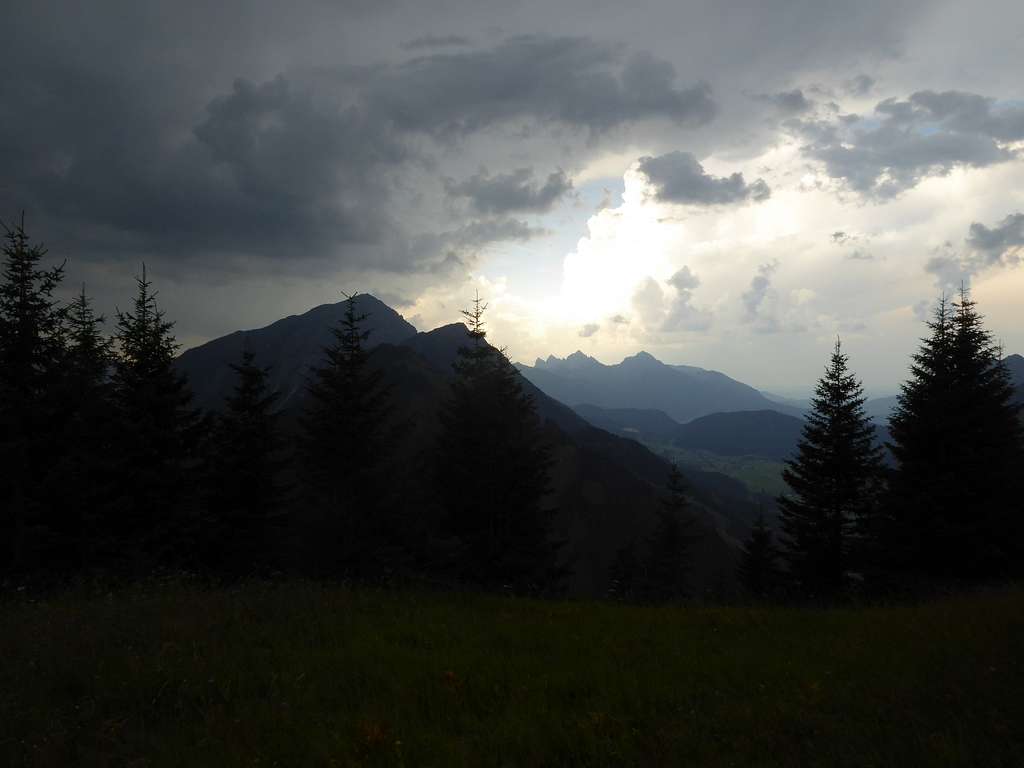
Mountain weather condition on Gartnerwand:
Map
Alpenvereinskarte, scale 1 : 25000
Number 4/1, Wetterstein- und Mieminger Gebirge West
Edition 2016, with trails and UTM grid
