-
 2464 Hits
-
 73.06% Score
-
 3 Votes
|
|
Mountain/Rock |
|---|---|
|
|
47.39363°N / 10.67506°E |
|
|
Hiking, Skiing |
|
|
Spring, Summer, Fall, Winter |
|
|
6919 ft / 2109 m |
|
|
Overview
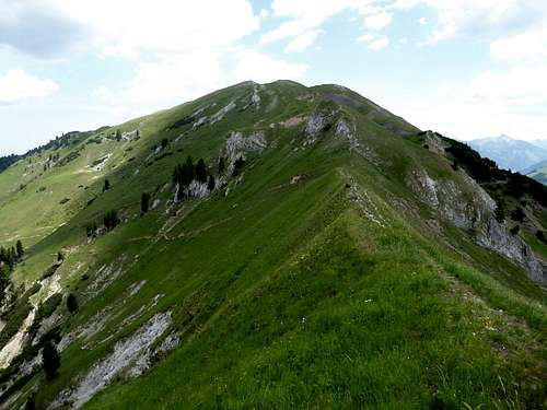
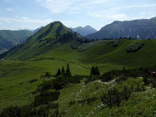
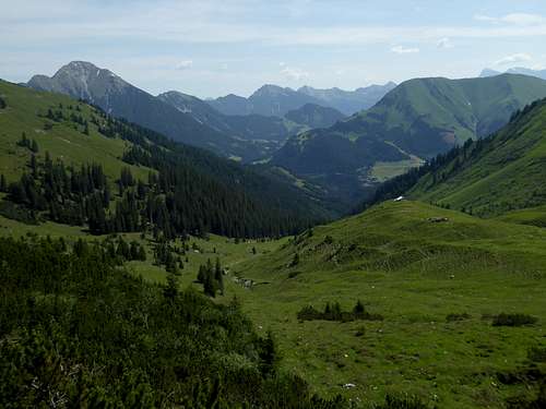
At the eastern end of the south ridge of Ligfeistgruppe, a subgroup of Lechtaler Alpen, the rugged and rocky Ligfeist summits get soft: the geology changes from the frail and disintegrated rocks of Hauptdolomit to the marls and clays of Allgäuschichten, also called Allgäu – Fleckenmergel. Erosion makes round and soft forms and meadows with abundant wildflowers blossom through mountain summer.
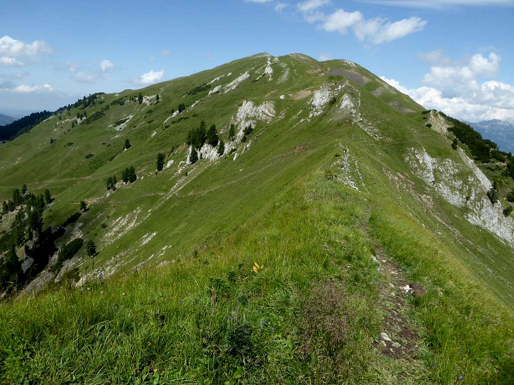
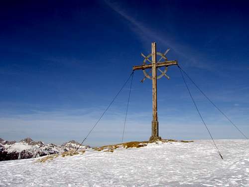
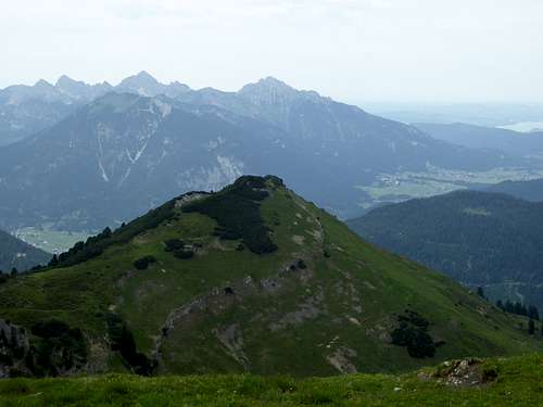
Galtjoch is the highest of those soft Ligfeist summits (Kelmerspitze, Abendspitze, Höbeleskopf and Rainberg are the other softies), an easy hiking summit and an easy ski tour in winter and early spring. Galtjoch can be done as round trip from Rinnen trailhead or as part of a longer traverse from Knittelkarspitze to Abendspitze, a Ligfeist classic outing. Galtjoch is a good lookout fpr the surrounding mountain groups and as an advantage for many hikers there are two mountain huts nearby serving great food and drinks.
Galtjoch is the culmination point of three ridges, one coming from Rainberg to the north, one from Abendspitze to the east and one from Vordere Steinkarspitze to the west. At the col between Steinkarspitze and Galtjoch you can study the abrupt change in geology. And erosion zones on the west ridge of Galtjoch show the marls and clays of Allgäu – Fleckenmergel quite good.
Getting There
Main trailhead for Galtjochroutes is:
- Rinnen
Rinnen is located in the Namlos valley which borders the south side of the Ligfeistgruppe.
By car:
From Reutte or Arlberg direction use road number 198 to Stanzach. Turn on the “Berwang-Namloser Landesstraße” (signs for Namlos, Berwang) and proceed to Rinnen.
Alternatively use road number 179 from Reutte to Bichlbach and turn on the “Berwang-Namloser Landesstraße” until you reach Rinnen.
From Innsbruck go on highway A 12 to the exit “Telfs”, proceed on road number 189 to Nassereith and on road number 179 to Fernpass, Lermoos and Bichlbach. Follow the signs to Berwang and Namlos to Rinnen.
Take highway A95 from Munich to its end and proceed on road number B2 and B23 / 187 to Lermoos. Turn on road number 179 to Bichlbach and go on like described above.
Rinnen trailhead: Leave the Landesstraße in front of the huge Hotel Thaneller. Follow the small road into the equally small village, this narrow road curves down into Rotlech valley. Go straight on until you reach a hikers parking area.
Public transportation:
Nearby railroad station is: Bichlbach. Bus number 151 goes to Rinnen.
Routes Overview
Best trailhead for Galtjoch is Rinnen.
There are two main routes which can be combined to a nice one day loop.
Follow the forest road from the Rotlech valley parking area, cross Rotlech and follow the forest road in some zigzags up to Ehenbichler Alm. Follow a narrow but marked trail to your left up to the col between Abendspitze and Galtjoch. The ascent to Abendspitze from the col is short (60 m of altitude difference).
The same col can be reached by following the forest road from Ehenbichler Alm to Reuttener Hütte and by ascending a left hand trail to the col.
Follow the east ridge to the summit.
This route is the ski route, too.
Alternatively leave the forest road to Ehenbichler Alm at the first switchback, follow the trail, branching off to the left to Raaz Galtalpe hut and ascend until you reach a trail junction. Turn right, traverse the lower part of the two Steinkar cirques to the col between Vordere Steinkarspitze and Galtjoch. Follow the easy west ridge up to the summit.
Red Tape & Accommodation
Red Tape
No restrictions a s far as I know.
Accommodation
Mountain huts
Gear & Mountain Condition
Galtjoch is an easy hiking mountain in late spring, summer and autumn. It requires normal hiking gear and good shoes.
Likewise easy and relatively secure of avalanches is the winter and early spring ski tour. It is a ski route for beginners.
Nevertheless bring your avalanche gear and check the Tirol avalanche bulletin.
Weather for Berwang:
Maps
Österreichische Karte, scale 1 : 50000
Number 2221, Imst, with UTM-grid, BEV – Bundesamt für Eich- und Vermessungswesen, Wien
Österreichische Karte, scale 1 : 25000
Number 2221-Ost, Erwald, with UTM-grid, BEV – Bundesamt für Eich- und Vermessungswesen, Wien, edition 2013
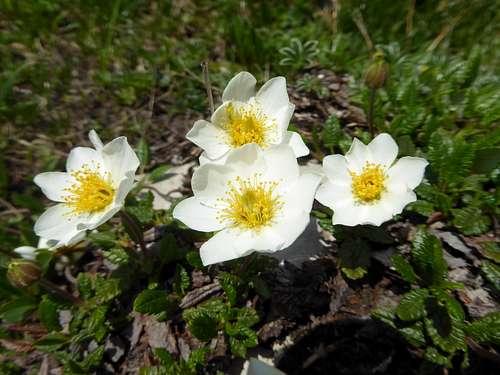
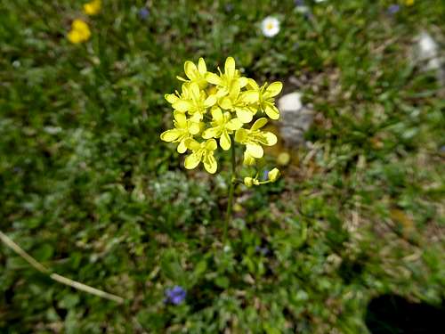
Some Wildflower Impression
Lechtal Alps are famous for their wildflowers. The eastern subgroups are no exception. Here are some nice examples.


