
|
|
Mountain/Rock |
|---|---|
|
|
39.07818°N / 106.69868°W |
|
|
Pitkin |
|
|
Mountaineering |
|
|
12934 ft / 3942 m |
|
|
Overview
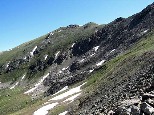
 East Face, (R) Difficult Peak, (L) Point 12925 ft
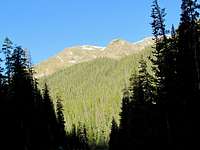

“Difficult” is just a name. Climbing Difficult Peak is no more difficult than climbing any of its nearby peaks.
Difficult Peak rises in the Collegiate Peaks Wilderness of Central Colorado near the town of Aspen. It is actually visible from the southern parts of Aspen.
To the north, Difficult Peak is connected to the 12811 ft New York Peak and to the south it connects to Point 12925 ft. The valley of New York Creek sits to the east of Difficult Peak and the valley of Difficult Creek to its west. The summit of Difficult Peak is made of a broad hump which has many high points. The highest point sits in the middle of the hump.
Difficult Peak is usually climbed from the east via the valley of New York Creek. A trail will take you up to an elevation of 11600 ft where you will have to leave trail and find your own way to the summit. Route finding skills are essential.
 East Face, R to L: New York Peak, Difficult Peak & Point 12925 ft
Views From The Summit
 Castle Peak Castle Peak |  Mt. Snowmass Mt. Snowmass |  Anderson Peak Anderson Peak |  Town of Aspen Town of Aspen |
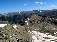 New York Peak New York Peak | 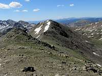 Point 12925 ft Point 12925 ft | 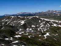 Looking South Looking South |  Lincoln Creek Lincoln Creek |
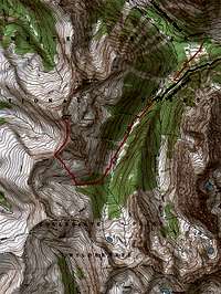
Getting There
 West face, the summit of Difficult Peak
From the town of Aspen, drive roughly 10 miles east on Route 82 until you see the sign for the Lincoln Gulch Road (Forest Road 106) on the right (south) side of the road.
Guidebooks might say that most cars can drive up Lincoln Gulch Road but I found it to be pretty rough and will not drive it in anything less than an SUV.
Drive the pot hole ridden Lincoln Gulch Road east. After 3.3 miles, you will see the sign for New York Creek Trail on the right. This is your trailhead.
 Point 12925 ft & Lincoln Creek
Red Tape
No fees or permits needed for day hikes.For other regulations, see the website for White River National Forest.
 Difficult Peak from New York Peak
Weather
Click to see the forecast for the nearby town of Aspen.Map
Pictures
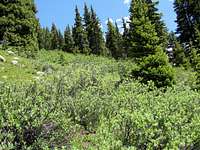
In the Pine Forest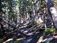
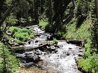
Velley of New York Creek
 |  |  |  |
Where you leave trail
 | 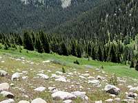 |
Above tree-line
 Tellurium Peak Tellurium Peak |  Tabor Peak Tabor Peak |  Point 12613 ft Point 12613 ft |
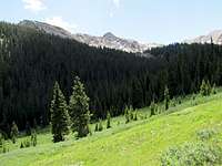
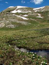
High Meadow
 |  |
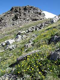
On to the summit
 |  |  |
Pretty
 |  Brooklyn Creek Brooklyn Creek |  |