-
 2218 Hits
-
 77.48% Score
-
 8 Votes
|
|
Mountain/Rock |
|---|---|
|
|
Hiking, Skiing |
|
|
Spring, Summer, Fall, Winter |
|
|
7372 ft / 2247 m |
|
|
Overview
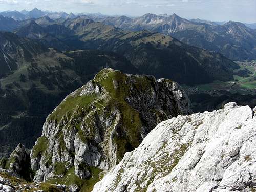
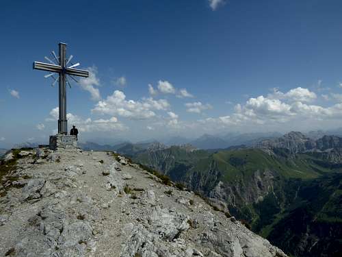
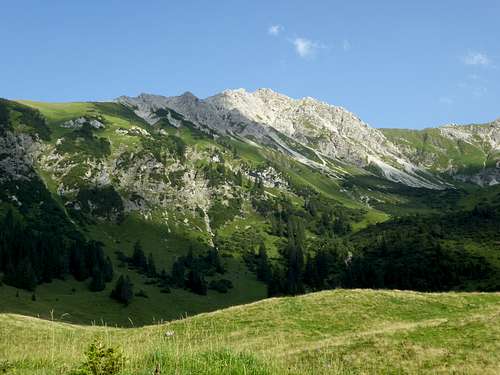
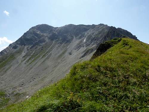
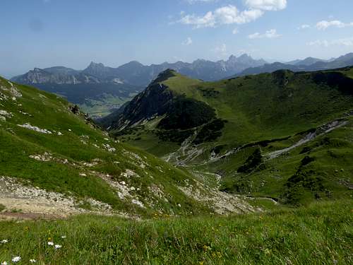
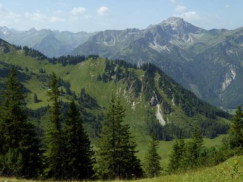
Belonging to the Vilsalpsee mountains of Allgäu Alps, Gaishorn ist the second highest peak of this subarea and a heavily visited summit all year round. The main summit protrudes from the main ridge of Vilsalpsee mountains in eastern direction thus being fully on Austrian terrain. Gaiseck to the west sits on this main ridge and marks the border between Germany and Austria.
Gaishorn summit raises about 1100 meters above beautiful Vilsalpsee lake, one of the most beautiful alpine lakes. The easy accessibility from the Austrian side makes this summit a main goal of the area. So don´t expect to be alone. Nevertheless Gaishorn is an interesting outing in a marvelous landscape.
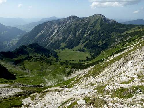
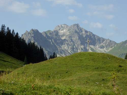
The Vilsalp valley / Austria borders the mountain to the east, to the west lays Willersalpe valley and Hinterstein valley / Germany. To the south rises majestic Rauhhorn, separated from Gaishorn by the col called “Vordere Schafwanne”. To the north Zerresköpfle and Zirlesegg, two minor summits of the main ridge, are the immediate neighbouring summits of Gaishorn. The north ridge route to Gaiseck traverses Zeresköpfle.
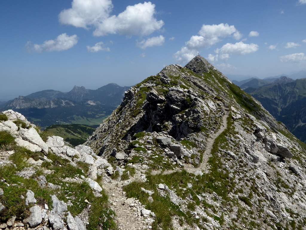
Gaishorn is one of the few ski tour summits of the area. The route starts at Tannheim village and is wellknown. So even in winter and spring Gaishorn can be crowded. Many years ago I summited Gaishorn in late winter with skis, unfortunately without a camera. I found this ski tour a rather short but beautiful one as the north side of Gaishorn is spectacular with snow.
For a summer ascent I highly recommend the north ridge route from Hinterstein via Willersalpe, a loop to Vordere Schafwanne col and back to Hinterstein. This route is all in all less crowded than the Austrian routes because it is an hour and 300 meters of altitude difference longer/more.
Getting There
German trailheads
- Hinterstein – parking area “Auf der Höh”
- Kraftswerk Auele
Austrian trailheads
- Vilsalpsee
- Tannheim / Wiesle
You reach the German trailheads
by car
- Using highway A 96 from Munich directions or A 7 from Ulm directions to the town of Kempten.
- Go on highway number A 980 to the exit “Waltenhofen” and follow road number B 19 to the exit “Sonthofen”.
- Turn on road number B 308 to Bad Hindelang. At the village entrance turn on Ostrach Straße (signposts for Hinterstein) and follow this road to Hinterstein village. Traverse the whole village until you reach the parking area “Auf der Höh” at the southern end of Hinterstein (public road closed furtheron). The parking fee in 2021 was expensive: 10 €! There are several more parking areas within the village, all between 8 and 10 € for a day.
- The parking area “Auf der Höh” is the trailhead for the ascent via Willersalpe.
- For the ascent via Schrecksee take the shuttle bus service between parking area “Auf der Höh” and “Giebelhaus” to the bus stop “Kraftwerk Auele” (another 4 € per person). The shuttle bus schedule can be seen here.
Public transportation
The next railway station is Sonthofen. Change there in bus number 48 to Hinterstein via Bad Hindelang.
You reach the Austrian trailheads Tannheim and Vilsalpsee
by car
- from Germany go to Bad Hindelang as described above. Follow road number B 308 to Oberjoch and the German/Austrian border. Follow there the Austrian road number 199 to Tannheim.
- from Austria use road number 199 from Weißenbach / Lechtal valley to Tannheim.
- At Tannheim turn on road Vilsalpseestraße to the seaside parking area (daily fee is 7 € in 2021). However this road is closed to public traffic between 8 and 17 o´clock every day. Other parking areas (daily fee is 5 € in 2021) are at Tannheim and between Tannheim and Vilsalpsee. There is a bus shuttle between Tannheim and Vilsalpsee.
Tannheim / Wiesle ski route
- For the summer north route, which is mainly the ski route, too, there is an additional trailhead and parking area at Tannheim / Wiesle west of Tannheim center.
Public transportation
The nearest railway station is Reutte. Take bus number 120 from Reutte/Untermarkt to Tannheim center. Use the bus shuttle service to Vilsalpsee.
Routes Overview
Germany routes
Trailhead Hinterstein, parking area "Auf der Höh"
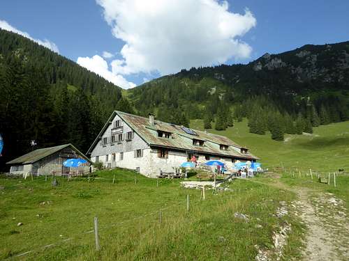
Follow the signposts to Willersalpe first on a trail then on a forest road and the signed short cuts up to Willersalpe (trail number 423).
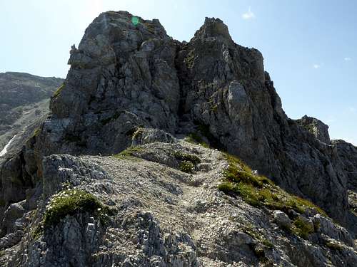
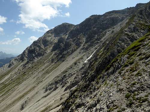
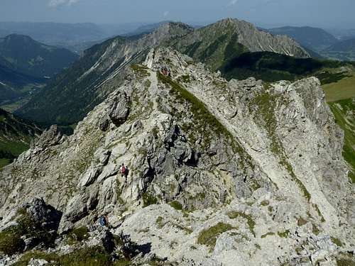
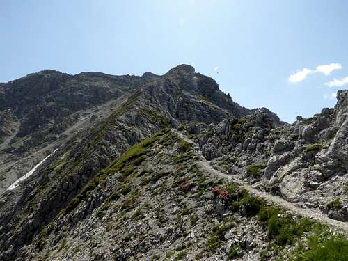
Take trail number 423 at Willersalpe and follow it up nearly to the col between Zirlesegg and Zerrerköpfle. Turn right on a trail which traverses Zerrerköpfle and reaches the lower part of Gaiseck north ridge. Follow the signs up the north ridge; there is some easy rock climbing involved. At Gaiseck turn left and follow the unmarked trail to Gaishorn main summit.
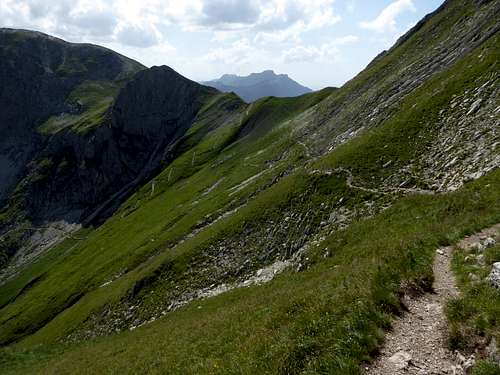
Alternatively go right at Willersalpe and follow trail number 424 (Jubiläumsweg) up to Vordere Schafwanne col. Take the left hand trail there which leads directly up to the summit
Both routes form an interesting loop.
Austrian routes
From trailhead Vilsalpsee circle round the lake to Vilsalpe. Take the right hand trail up to Vordere Schafwanne (trail number 424) and the summit trail to Gaishorn.
Alternatively take the trail to Obere Roßalpe starting at the trailhead in western direction. Proceed to Feldalpe, enter the northern cirque of Gaishorn and gain the Gaishorn summit ridge in many zigzags. Take the last steps in eastern direction to the summit.
Both routes can be done as a loop.
The ski route starts at Tannheim / Wiesle and enters Älpelebach valley. Take the forest road to Älpele and ascend the north slopes of Gaishorn to the summit ridge and the summit. Downhill likewise. In summer this is the trail number 423 which leads from Tannheim / Wiesle via Älpele and the north cirque to the summit.
Red Tape & Accommodation
Red Tape
The German part of Gaishorn is a national park (Nationalpark Allgäuer Hochalpen).
The Austrian part of the mountain belongs to the nature protection area “Vilsalpsee”.
There are no entrance fees or entrance limitations for these protected areas but some rules to follow:

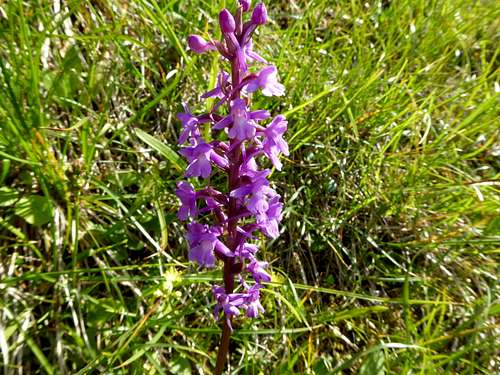
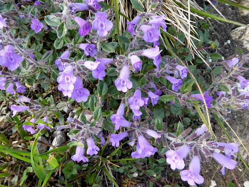
This area is a part of the Alps with a very high flora and faune diversity. Please respect the rules and enjoy this protected area.
Accommodation
Germany:
Austria:
Mountain huts:
Gear & Mountain Condition
Gaishorn is a year round summit.
In winter and spring it is a wellknown ski tour which requires in the steep upper parts a good ascent technique on skies. You need full ski tour gear and your avalanche gear.
See the Tirol avalanche bulletin here.
The Austrian routes and the Willersalpe – Vordere Schafwanne route in summer and autumn are normal hiking routes which require hiking gear and good shoes.
The north ridge route, however, requires some easy rock climbing and is a bit more difficult than the other hiking routes.
Weather condition:
Valley weather: Hinterstein / Germany
Mountain weather Rauhhorn
Maps
You need several Alpenverein maps to cover the whole region:
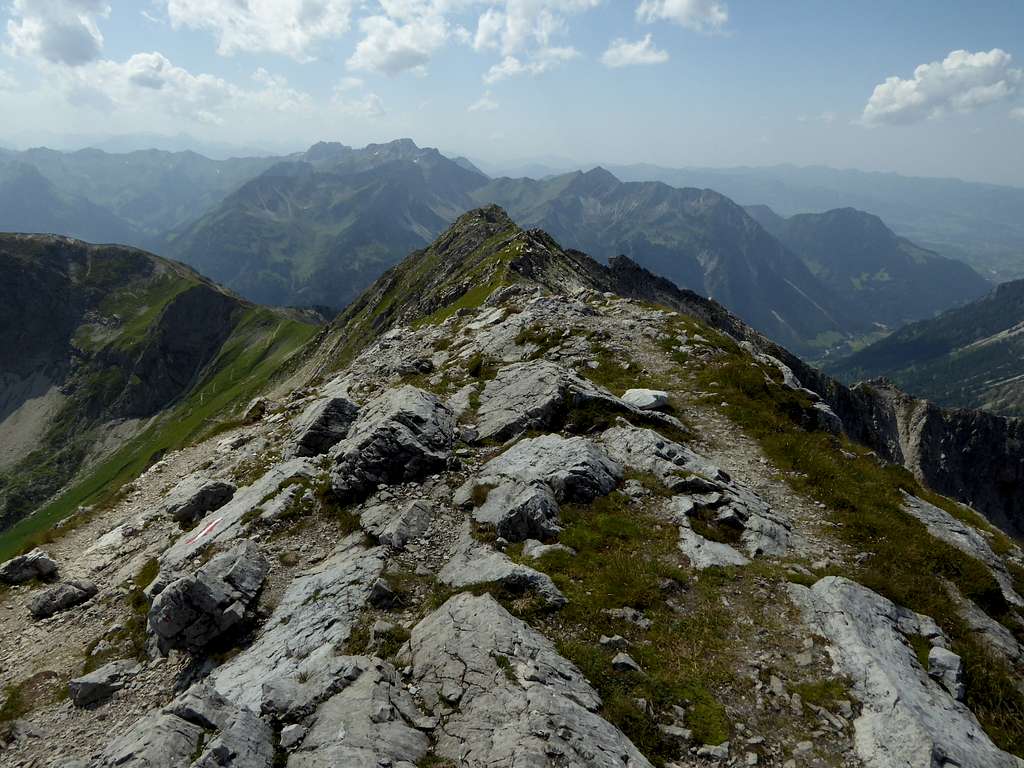
Alpenvereinskarte Bayerische Alpen, number BY 5, Tannheimer Berge, Köllenspitze, Gaishorn
Scale 1 : 25000
with trails and ski routes, UTM grid,
Alpenvereinskarte Bayerische Alpen, number BY 4, Allgäuer Hochalpen, Hochvogel, Krottenkopf
Scale 1 : 25000
with trails and ski routes, UTM grid,
and
Alpenvereinskarte Bayerische Alpen, number BY 3, Allgäuer Voralpen Ost, Grünten, Wertacher Hörnle
Scale 1 : 25000
with trails and ski routes, UTM grid,


