-
 1919 Hits
-
 75.81% Score
-
 6 Votes
|
|
Mountain/Rock |
|---|---|
|
|
47.44824°N / 10.47057°E |
|
|
Hiking |
|
|
Spring, Summer, Fall |
|
|
6975 ft / 2126 m |
|
|
Overview
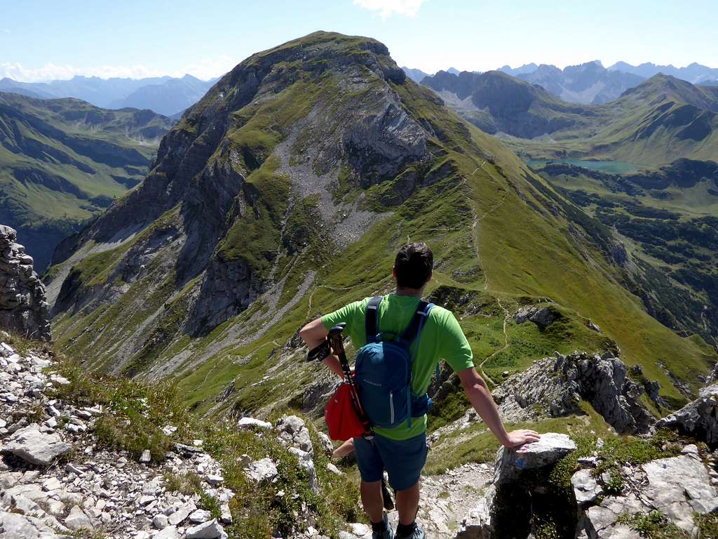
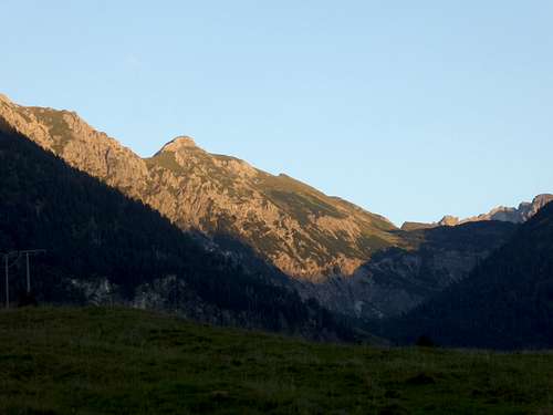
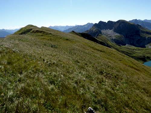
Kugelhorn is a secondary summit within the long south – north running ridge between Hochvogel to the south and Gaishorn to the north. On the long and grassy south ridge of Kugelhorn sits a meadow bump which is called Knappenkopf. Not really being a separate summit I decided to integrate this topographic feature in this page.
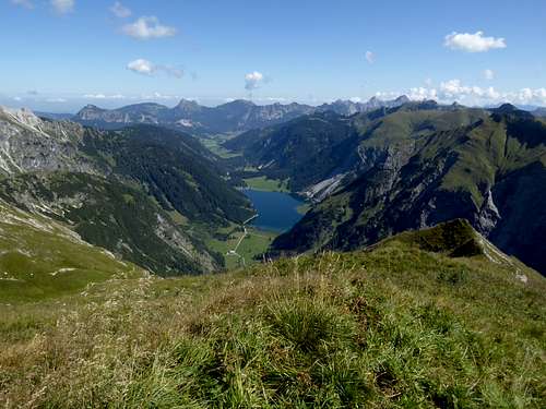
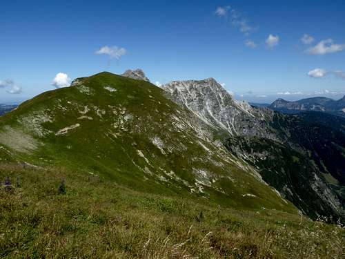
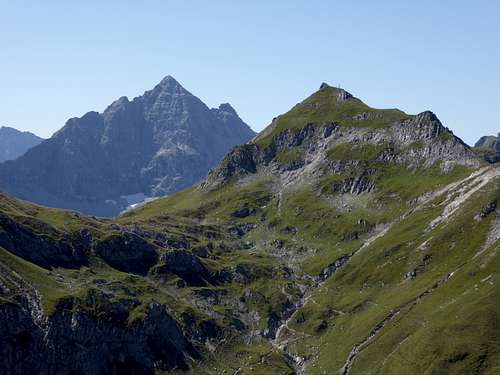
Kugelhorn/Knappenkopf belong to the Vilsalpsee mountains of Allgäu Alps. The double summit is located between Rauhhorn to the north and Kastenkopf / Kälbelesspitze to the south. Kugelhorn is separated from Rauhhorn by a col named “Hintere Schafwanne”. To the south Kirchendachsattel separates Knappenkopf from Kälbelesspitze.
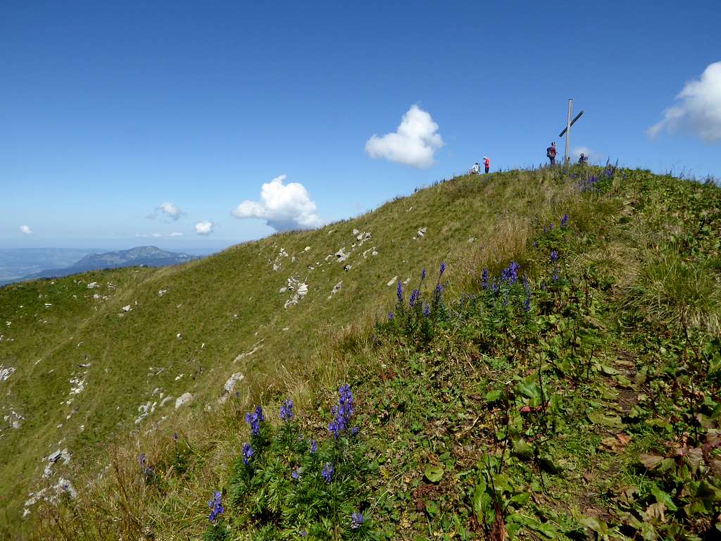
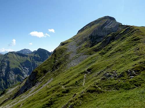
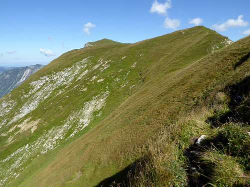
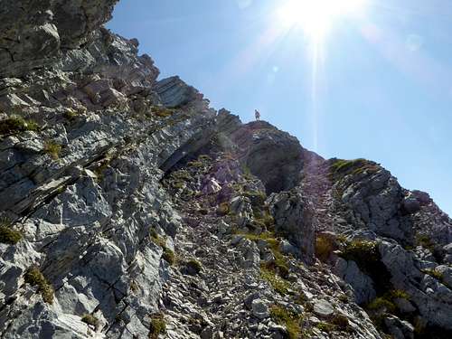
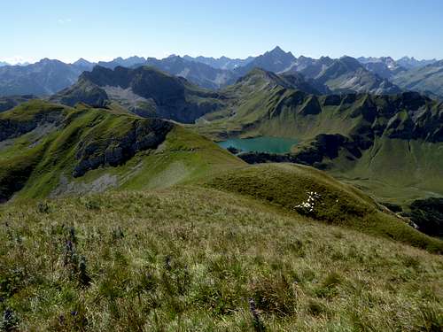
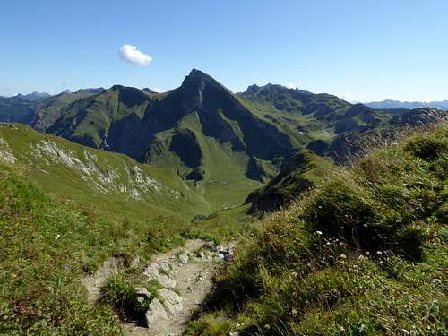
Whereas the northern and southern neighbours are mostly rock summits, Kugelhorn has a more soft aspect with more or less steep meadow slopes, meadow ridges and less rocky parts. There is an unmarked track crossing the mountain on its south and north ridge, the latter has a short rock part, which requires some easy rock scramble. Being a rather broad meadow summit Kugelhorn is liked by sheep and thus infested with sheep droppings. During my traverse in august 2021 there was such a nasty stench that I did not stay a minute on the summit. This is a pity as the summit offers good views to all sides.
I found the full traverse of Kugelhorn from Kichendachsattel to Hintere Schafwanne quite entertaining and a good appetizer for the main goal of that day: Rauhhorn.
Getting There
German trailhead:
- Kraftswerk Auele
Austrian trailhead:
- Vilsalpsee
You reach the German trailhead:
by car
- Using highway A 96 from Munich directions or A 7 from Ulm directions to the town of Kempten.
- Go on highway number A 980 to the exit “Waltenhofen” and follow road number B 19 to the exit “Sonthofen”.
- Turn on road number B 308 to Bad Hindelang. At the village entrance turn on Ostrach Straße (signposts for Hinterstein) and follow this road to Hinterstein village.
- Traverse the whole village until you reach the parking area “Auf der Höh” at the southern end of Hinterstein (public road closed furtheron). The parking fee in 2021 was expensive: 10 €! There are several more parking areas within the village, all between 8 and 10 € for a day.
- From the parking area take the shuttle bus service between parking area “Auf der Höh” and “Giebelhaus” to the bus stop “Kraftwerk Auele” (another 4 € per person). The shuttle bus schedule can be seen here.
Public transportation
The next railway station is Sonthofen. Change there in bus number 48 to Hinterstein via Bad Hindelang. Go on with the shuttle bus to bus stop "Auele".
You reach the Austrian trailhead Vilsalpsee:
by car
- From Germany go to Bad Hindelang as described above. Follow road number B 308 to Oberjoch and the German/Austrian border.
- Follow there the Austrian road number 199 to Tannheim.
- From Austria use road number 199 from Weißenbach / Lechtal valley to Tannheim.
- At Tannheim turn on road Vilsalpseestraße to the seaside parking area (daily fee is 7 € in 2021). However this road is closed to public traffic between 8 and 17 o´clock every day. Other parking areas (daily fee is 5 € in 2021) are at Tannheim and between Tannheim and Vilsalpsee. There is a bus shuttle between Tannheim and Vilsalpsee.
Public transportation
The nearest railway station is Reutte. Take bus number 120 from Reutte/Untermarkt to Tannheim center. Use the bus shuttle service to Vilsalpsee.
Routes Overview
Trailhead Hinterstein, Kraftwerk Auele (bus stop)
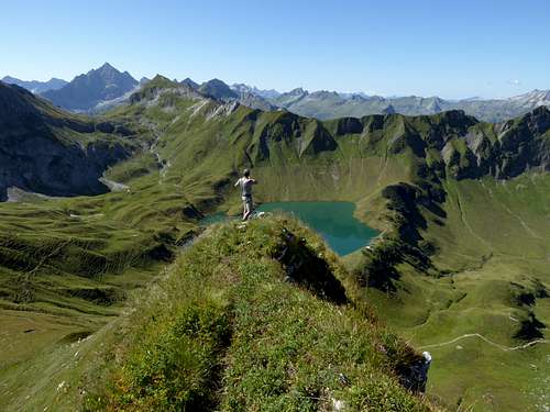
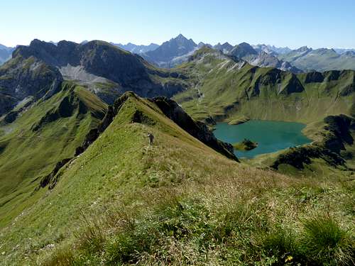
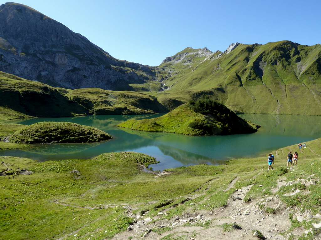
Ascend steeply Taufersbach valley from the bus stop to the small dammed lake of Taufersbach. Follow the main trail into Taufers valley and in some wide zigzags up to Schreck Alm hut and the Schrecksee lake.
Take the trail in eastern direction to a trail junction, stay right, climb Kirchendachsattel. Take the unmarked track to the north, climbing and traversing Knappenkopf and Kugelhorn and descend Kugelhorn north ridge (short rock scramble) to the col “Hintere Schafwanne”.
You can return to Schrecksee using trail number 424 to the south (“Jubiläumsweg”).
From “Hintere Schafwanne” you can climb Rauhhorn.
Trailhead Tannheim / Vilsalpsee
Circle round Vilsalpsee lake to Vilsalpe.Take the right hand trail number 424 up to a trail junction halfway up. Go left there to Hintere Schafwanne col (Jubiläumsweg, number 424). Climb Kugelhorn via its north ridge, proceed to Knappenkopf and descend to Kirchendachsatten on the Kugelhorn/Knappenkopf south ridge. Return to Hintere Schafwanne using trail number 424 (Jubiläumsweg) and descend to the trailhead.
1 ½ day traverse around Vilsalpsee
This is an interesting outing which is done as follows:
First day: Ascend from Vilsalpsee on trail number 425 to Landsberger Hütte (alpine club hut). Stay the night there.
Second day: Follow trail number 421 to Westliches Lachenjoch, Kastenjoch and Kirchendachjoch. Traverse Knappenkopf / Kugelhorn to Hintere Schafwanne. Traverse Rauhhorn to Vordere Schafwanne. Traverse to Gaishorn and descend to Vilsalpsee via Feldalpe and Obere Roßalpe. Epic day!
Red Tape & Accommodation
Red Tape
The German part of Knappenkopf/Kugelhorn is a national park (Nationalpark Allgäuer Hochalpen).
The Austrian part of the mountain belongs to the nature protection area “Vilsalpsee”.
There are no entrance fees or entrance limitations for these protected areas but some rules to follow:

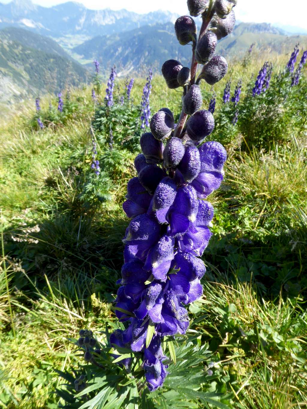
This area is a part of the Alps with a very high flora and faune diversity. Please respect the rules and enjoy this protected area.
Accommodation
Germany:
Austria:
Mountain huts:
Gear & Mounatin Condition
Kugelhorn / Knappenkopf can be climbed normally from late spring through autumn, depending on the snow conditions.
It is a hike which requires some easy rock scramble on the north ridge. Both, the north and south ridge can be slippery with wet conditions.
Weather condition:
Valley weather: Hinterstein / Germany
Mountain weather Rauhhorn
Maps
You need several Alpenverein maps to cover the whole region:
Alpenvereinskarte Bayerische Alpen, number BY 5, Tannheimer Berge, Köllenspitze, Gaishorn
Scale 1 : 25000
with trails and ski routes, UTM grid,
Alpenvereinskarte Bayerische Alpen, number BY 4, Allgäuer Hochalpen, Hochvogel, Krottenkopf
Scale 1 : 25000
with trails and ski routes, UTM grid,
and
Alpenvereinskarte Bayerische Alpen, number BY 3, Allgäuer Voralpen Ost, Grünten, Wertacher Hörnle
Scale 1 : 25000
with trails and ski routes, UTM grid
