
-
 10001 Hits
-
 86.85% Score
-
 23 Votes
|
|
Mountain/Rock |
|---|---|
|
|
45.92170°N / 9.44140°E |
|
|
Hiking, Via Ferrata |
|
|
Spring, Summer, Fall, Winter |
|
|
5465 ft / 1666 m |
|
|
Overview
This summit is, I think, the border between Mountains and Not MountainsEach time you are driving down from Piano dei Resinelli (Grigne group) you can't do but giving a glance to a strange mountain, looking like a big saw, on the opposite side of the valley ... of course if you are coming back from some rock climbs you will not consider it ... but as time passes, maybe years later, curiosity can compel you to go, see and climb it.
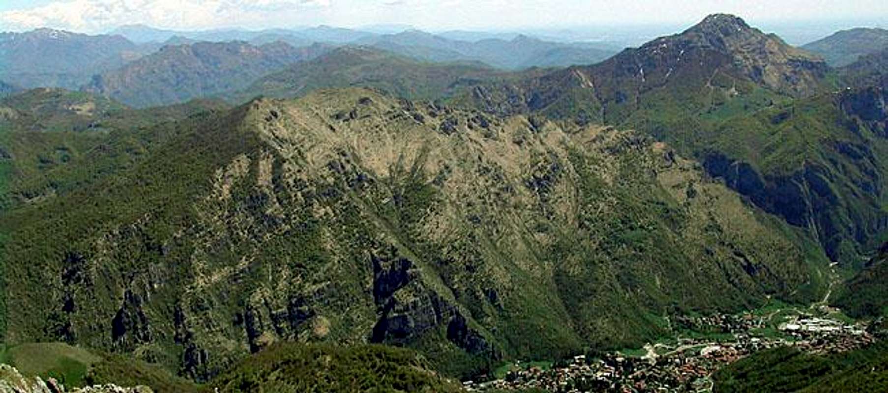
Monte Due Mani is a small limestone mountain situated just to the East of Grigne group.
It grows up, with its western side, from the road of Valsassina, between Ballabio and the Colle di Balisio and is delimited
It has two very different sides :
The two sides end with a long ridge made of rocky towers that make it look like a minor brother of the most famous Resegone
Thought small and less important than sorrounding summits (Resegone, Grigne and Campelli) it is interesting and frequented on spring and fall sundays due to its fine hiking routes and a not difficult "ferrata", that allow to gain the summit (fine belvedere) in every season
 |  |  |  |  |
Getting There
From Milano - ss 36 (Spluga) till Lecco (at the bottom of the east branch of Como lake)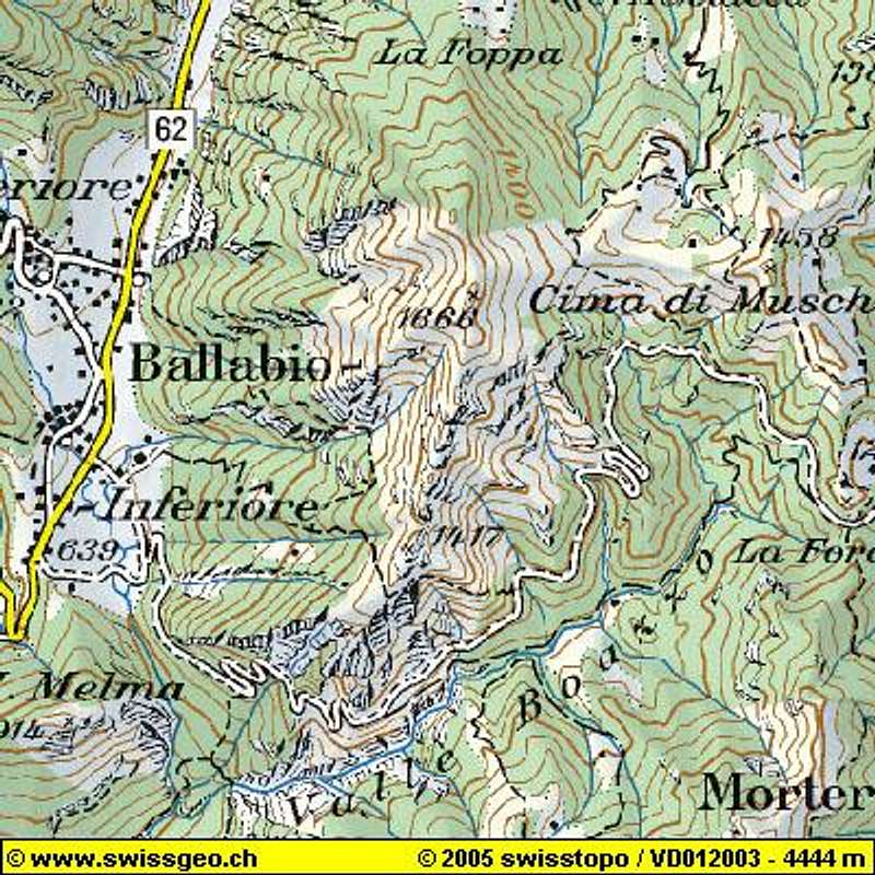

Follow the indications for Valsassina, reach Ballabio and, just at the beginning of the town, turn to the right in a narrow road (Morterone)
This road runs along the S side of Monte Due Mani, very exposed in some points, and leads to the 2 different points where you can start to get the summit.
Very small sites allow to park at most 10-12 cars each.
 |  |
Routes Overview
Two different hiking routes lead to the summit starting from the road Ballabio.Morterone (see Getting There)Difference in elevation is about 600m (2k feet) for both
The easiest starts from a car parking just 1 km before the Forcella di Olino and is marked as Bocchetta di Desio Due Mani
The path starts on the left side of the road and, after a first steep wood, crosses horizontally till few below the Bocchetta di Desio (ruines)
Now the path goes on, well marked but steep, till about 50m under the summit ridge, here 2 ways : straight on to the summit (right path) or cross (left path) to reach the final slopes near the big Cross and a small metallic igloo. (2 hours)
This path is normally used for coming down.
The best hiking route starts about 2 km before (Forcola site - about 5 km from Ballabio) and has a common starting point with the "ferrata"
This is path n° 36, well marked but more difficult than the previous.
It follows the long ridge avoiding the rocky spurs on their flanks.
Some scramble in the lower part and some exposed and aerial passages on the long summit ridge .
The most amusing route is the Ferrata Simone Contessi that starts with the path 36 but, instead to avoid the rocky spurs, goes straight on them with some athletic passages but medium-low exposure.
Only for expert hikers !!!
If you want to climb the mountain along the path 36 or the Ferrata and want to come down along the normal east route you should start with 2 cars that must be parked in the two different sites (just only to avoid to walk 2 km on the road)
 |  |  |  |  |
Red Tape
No fees, no permits requiredWhen To Climb
All year long, try to avoid sunny summer daysSome care in winter, after a snowfall, some points along the easiest path (East side) can be dangerous for slab avalanches