


-
 1260 Hits
-
 80.49% Score
-
 12 Votes
|
|
Mountain/Rock |
|---|---|
|
|
45.76240°N / 7.16292°E |
|
|
Aosta Valley St. Pierre Avise St. Nicholas Municipalities |
|
|
Hiking |
|
|
Spring, Summer, Fall, Winter |
|
|
9219 ft / 2810 m |
|
|
Note
|
La montagna chiama i suoi figli, ed essi rispondono fedelmente al suo appello… Osvaldo Cardellina, Diario alpinistico, 1964-65 Page texts: @ OsvaldoCardellina "Osva", passed away on May 2, 2022. Page owners: Christian Cardellina e Osvaldo Cardellina. Any updates from September 12, 2022: Antonio Giani, page administrator, friend and climbing companion. Testi della pagina: @ OsvaldoCardellina "Osva", scomparso il 2 maggio 2022. Proprietari pagina: Christian Cardellina e Osvaldo Cardellina. Eventuali aggiornamenti dal 12 settembre 2022: Antonio Giani, amministratore della pagina, amico e compagno di salite. |
Shovel Overview Spade
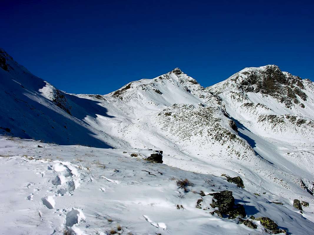
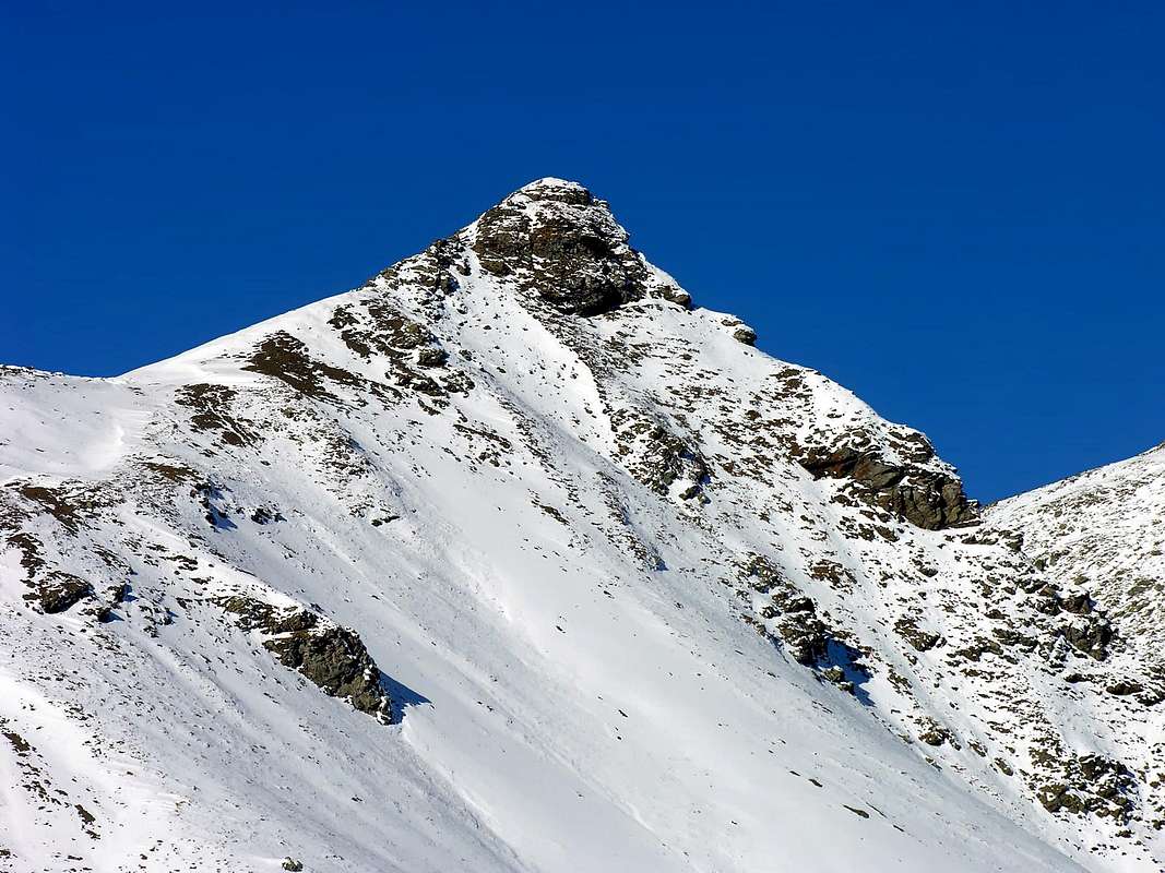
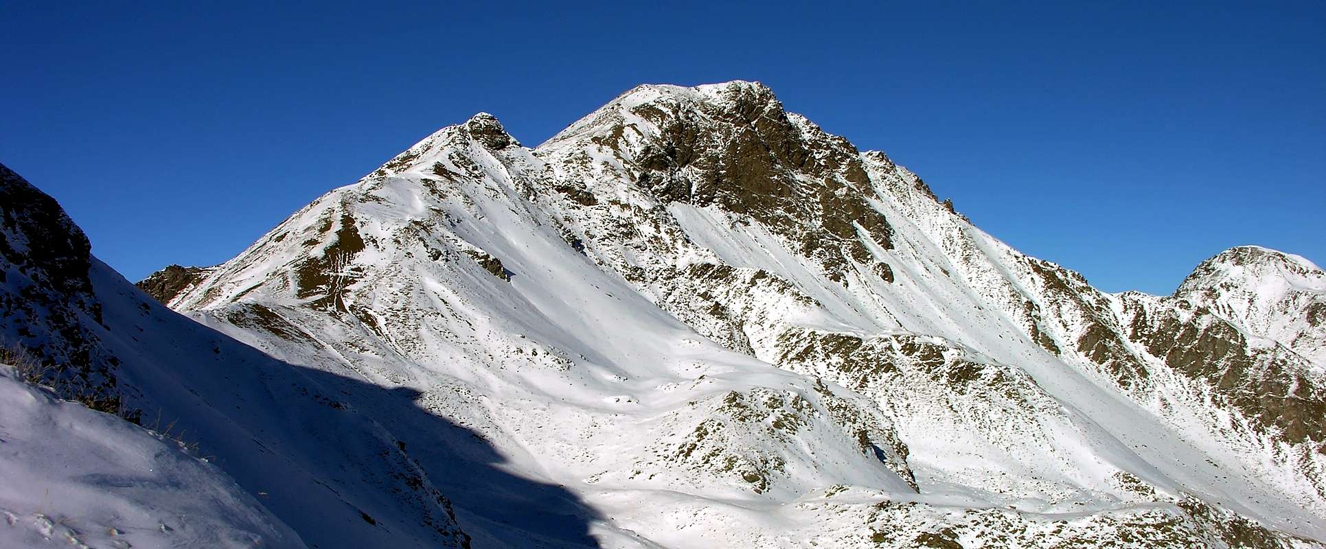
Small intermediate share between the Punta di Leissé or Leysser (2.771m) and the Monte Rosso di Vertosan (2.943m), all located in the Mont Fallère Group (3.061m) immediately to the West of the City of Aosta and above the municipalities of Sarre and Saint Pierre. Easy to climb, it is generally achieved by crossing the various points mentioned above in one direction and another.
Piccola quota intermedia tra la Punta di Leissé o Leysser (2.771 m) ed il Monte Rosso di Vertosan (2.943 m), tutte collocate nel Gruppo del Mont Fallère (3.061 m) subito ad Occidente della Città di Aosta ed al di sopra dei Comuni di Sarre e di Saint Pierre. Di facile salita, in genere viene raggiunta compiendo la traversata delle varie punte suddette in un senso e nell'altro.
Getting There
BY CAR:
- From Torino, Milano, etc: Motorway A5. Exit at Aosta Ovest.
- From Switzerland: through the Grand Saint Bernard Tunnel or the namesake pass.
- From France, through the Mont Blanc Tunnel or Petit Saint Bernard Pass: It is not necessary to take Motorway A5: you can drive on SS.26, in the direction of Aosta.
- From the Aosta Ovest (Aymavilles) exit of the motorway, take state highway n°26 Toward Courmayeur. After about 5 km, you'll reach the Village of Saint Pierre (731m).Turn right on the road for the small Village of Saint Nicolas (1.200m). Past the village, you'll reach a fork. The left branch leads to Colle di Joux (1.898m). Take instead the right branch in the direction of Vetan (1.671m). At the center of the small village turn left and proceed for about 150m on paved road.
BY PLANE:
- Aeroporto "Corrado Gex" Saint Christophe (Aosta).
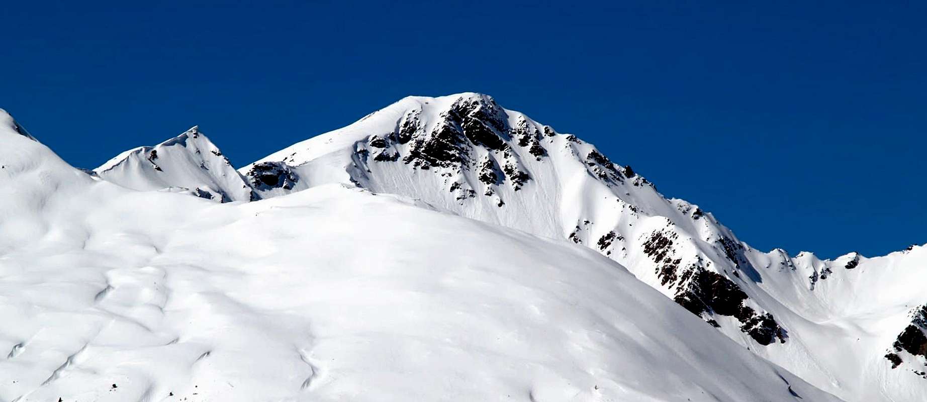
![Traverse from Palettaz to Vertosan's Monte Rosso 2016]()
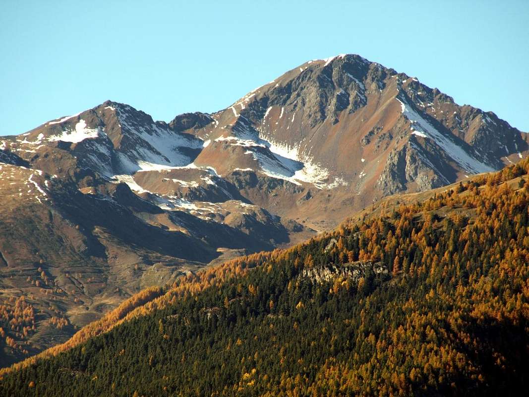
![Punta Paletta]()
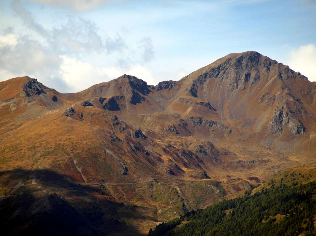
![Traverse from Punta Leissé towards Punta Paletta 2016]()
Route
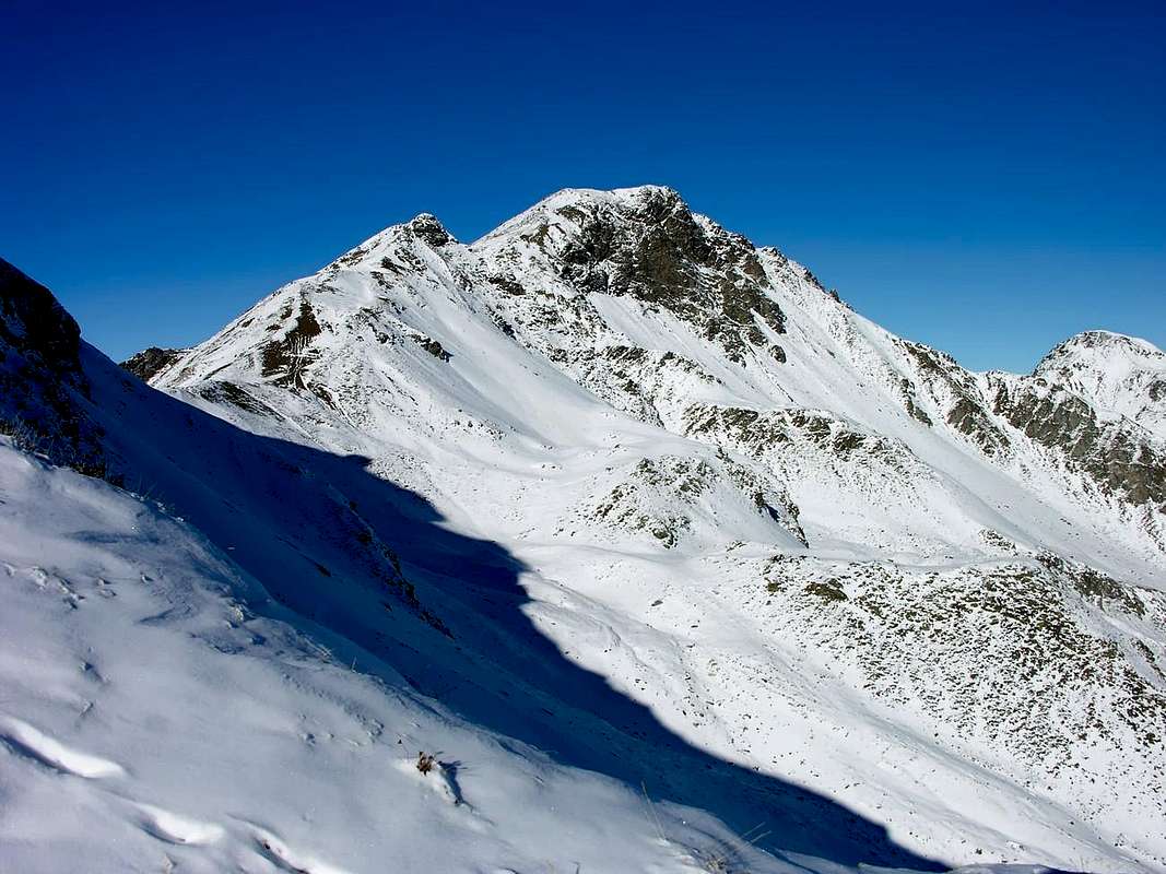
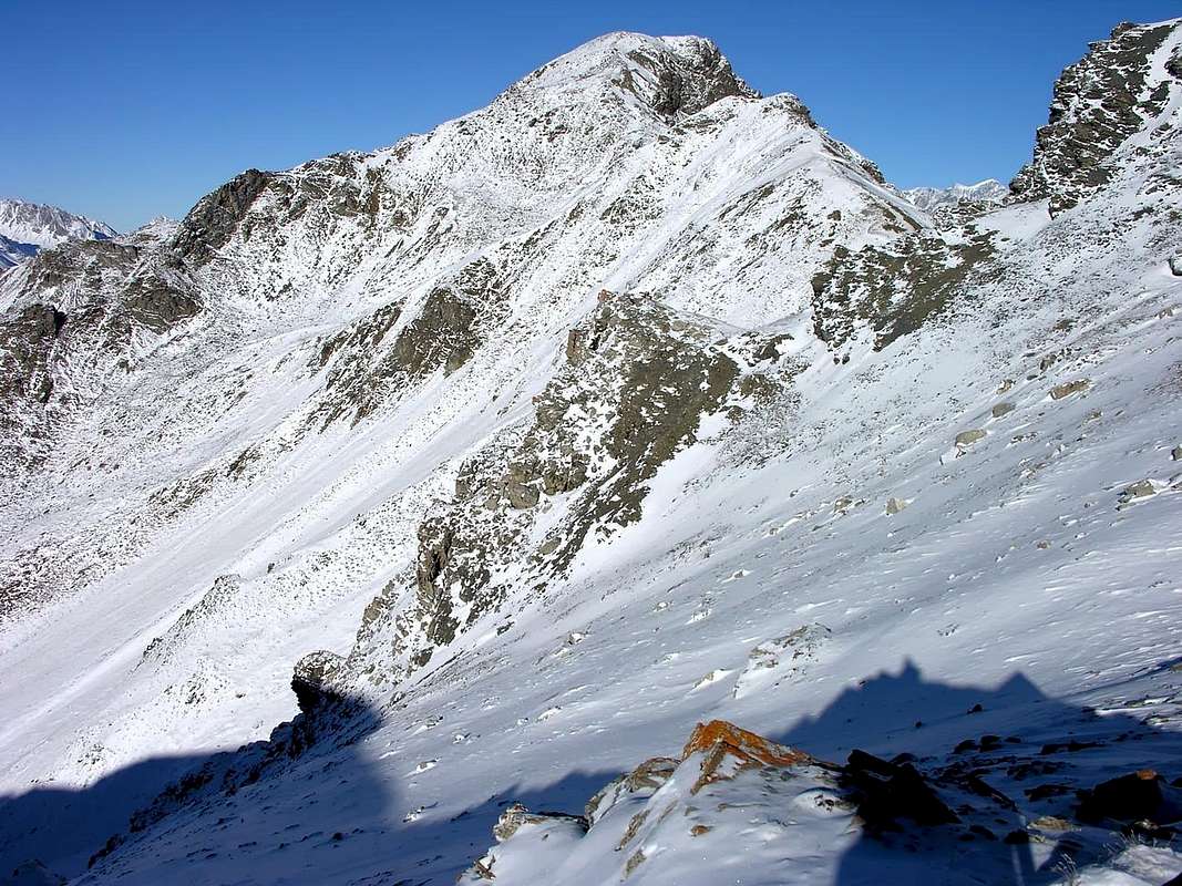
From the Village of Vetan Dessus or from the adjacent Verrogne reach the middle part of the valley with this last name just before reaching the Alpe Le Crotte (2.392m); from the vicinity of a water intake on the Torrent of La Crete, or from the same Alpe Le Crotte, turn decisively to the left (West) reaching the path that leads to the Passo di Paletta (2.797m) and from this easily to the Summit via the elementary Southern Ridge.
Dal Villaggio di Vetan Dessus oppure dall'adiacente di Verrogne raggiungere la parte media del vallone con questo ultimo nome appena prima di raggiungere l'Alpe Le Crotte (2.392 m); dalle vicinanze di una presa dell'acqua sul Torrente di La Crete, oppure dall'Alpe Le Crotte, volgere decisamente a sinistra (Ovest) raggiungendo il sentiero che conduce al Passo di Paletta (2.797 m) e da questo facilmente in vetta tramite l'elementare Cresta Sud.
First Ascents
- First on the summit: Unknown.
- In winter: Unknown.
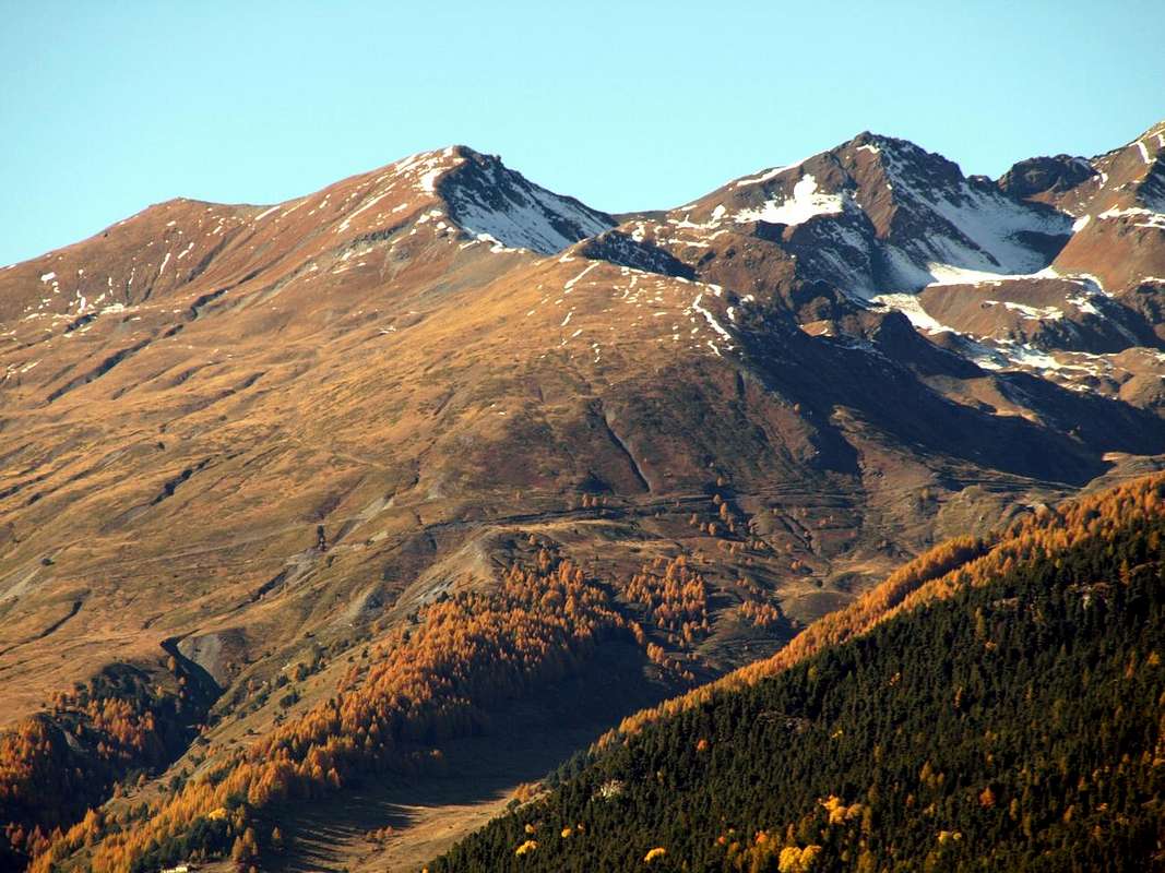
![Punta Paletta and M. Rosso...]()
![Punta Paletta and M. Rosso...]()
![South side of punta Paletta...]()
![M. Rosso di Vertosan seen climbing...]()
![Punta Paletta...]()
When to Climb Equipment & Difficulties
When In all seasons.
In tutte le stagioni.
For hiking or with snowshoes or by ski.
Da escursionismo oppute con racchette da neve o tramite sci.
Difficulties From F (easy) to F+.
Da F (Facile) a F+.
Mountain Condition
- Meteo: you can find all the needed informations at the official site of the Valle d'Aosta Region:
- Valle d'Aosta Meteo
![Punta Paletta and Monte Rosso from South-southeast.]()
Books and Maps
- "Guida dei Monti d'Italia-Alpi Pennine" (Vol. I°) di Gino Buscaini-Club Alpino Italiano/Turing Club Italiano, Luglio 1971 (in Italian).
- "80 itinerari di Escursionismo Alpinismo e Sci Alpinismo in Valle d'Aosta", di Osvaldo Cardellina, Ed. Musumeci, Giugno 1977 (in Italian); seconda Ed. Luglio 1981; terza Ed. Luglio 1984; (in French), prima Ed. Febbraio 1978; seconda Ed. Marzo 1980.
 |
 |
- Kompass "Monte Bianco Valle d'Aosta Sentieri e Rifugi" Carta turistica 1:50.000.
- Ediz. Bottega D'Arte Alpina Coumayeur "Carta Turistica della Valle d'Aosta" di Alessio Nebbia 1:100.000.
- I.G.M. Istituto Geografico Militare 1:25.000.
Important Information
- REGIONE AUTONOMA VALLE D'AOSTA Ufficial Site
- FONDAZIONE MONTAGNA SICURA Villa Cameron, località Villard de la Palud n° 1 Courmayeur (AO) Tel: 39 0165 897602 - Fax: 39 0165 897647.
- A.I.NE.VA. (Associazione Interregionale Neve e Valanghe).
![SE side of Punta Paletta and Monte Rosso di Vertosan]()
Useful numbers
- Protezione Civile Valdostana località Aeroporto n° 7/A Saint Christophe (Ao) Tel. 0165-238222.
- Bollettino Valanghe Tel. 0165-776300.
- Bollettino Meteo Tel. 0165-44113.
- Unità Operativa di Soccorso Sanitario Tel. 118.